ノイドルフ・ボルンシュタインの天然記念物・トップ20
ノイドルフ・ボルンシュタインが誇る美しい風景を見てみたいなら、ノイドルフ・ボルンシュタインの素晴らしい天然記念物・トップ20
に行ってみましょう。あなたにぴったりの場所が見つかるよう、素晴らしい天然記念物を探索するために必要なすべての情報を集めました。次のアウトドアの冒険に出かける計画の参考にしましょう。
最終更新日: 8月 31, 2026
フレムフーダー湖
ハイライト • 湖
翻訳者 Google •
役立つ情報 は

エッカーンフェルデ湾の険しい海岸
ハイライト • 峡谷
翻訳者 Google •
役立つ情報 は

今すぐサインアップして、こんな場所を発見しよう
最高のシングルトラック、ピーク、その他のエキサイティングなアウトドアスポットのおすすめを受け取ろう。
無料新規登録
ヴィンデバイアー・ノール
ハイライト • 湖
翻訳者 Google •
役立つ情報 は

シュヴァンゼンの断崖海岸
ハイライト • 自然記念物
翻訳者 Google •
役立つ情報 は

カールスミンデの長墳
ハイライト • 歴史的な場所
翻訳者 Google •
役立つ情報 は

無料でサインアップして、さらに多くの自然記念物を発見しましょう ノイドルフ・ボルンシュタインでの。
無料新規登録
すでにアカウントをお持ちですか?
無料アカウントで今日から始めよう
次の冒険が待っています。
ログインまたは登録

コミュニティからのヒント

After the burial forest, the path leads directly along the cliff edge, offering magnificent views across Eckernförde Bay... After storms, it can happen that sections of the coast are washed away and the path is temporarily no longer there.
4
0

The deepest point of the Windebyer Noor[2], at 13.6 metres, is in the north of the lake near the Eckernförde district of Carlshöhe; in the middle, the lake is eleven metres deep. The water of the Windebyer Noor is slightly saline (in different places between over one and a good two PSU[3]). Bulges of the Windebyer Noor are called Schnaaper Bucht (Snap Bugt), Norderhake (Nørrehage), Süderhake (Sønderhage), Südbucht (Sydbugt)[4] and Kochendorfer Bucht.[5] The Norderhake was the connecting arm of the Windebyer Noor to the Eckernförde city harbour.
0
0
The Windebyer Noor (obsolete: Eckernförder Noor, Schna(a)per Noor and Goos-Noor; Danish: Vindeby Nor, Low German: Winnebyer Noor, Winneby-Noor) is a 389 hectare inland lake in Schleswig-Holstein. It is located on the western edge of the town of Eckernförde, to whose municipal area it belongs. To the south and west, the eponymous municipality of Windeby borders the shore of the lake. Former residents of the lake were the municipality of Borby until its incorporation in 1934 (Borby exclave Schnaap) and the municipality of Gammelby until 1973 (Grasholz).
0
0

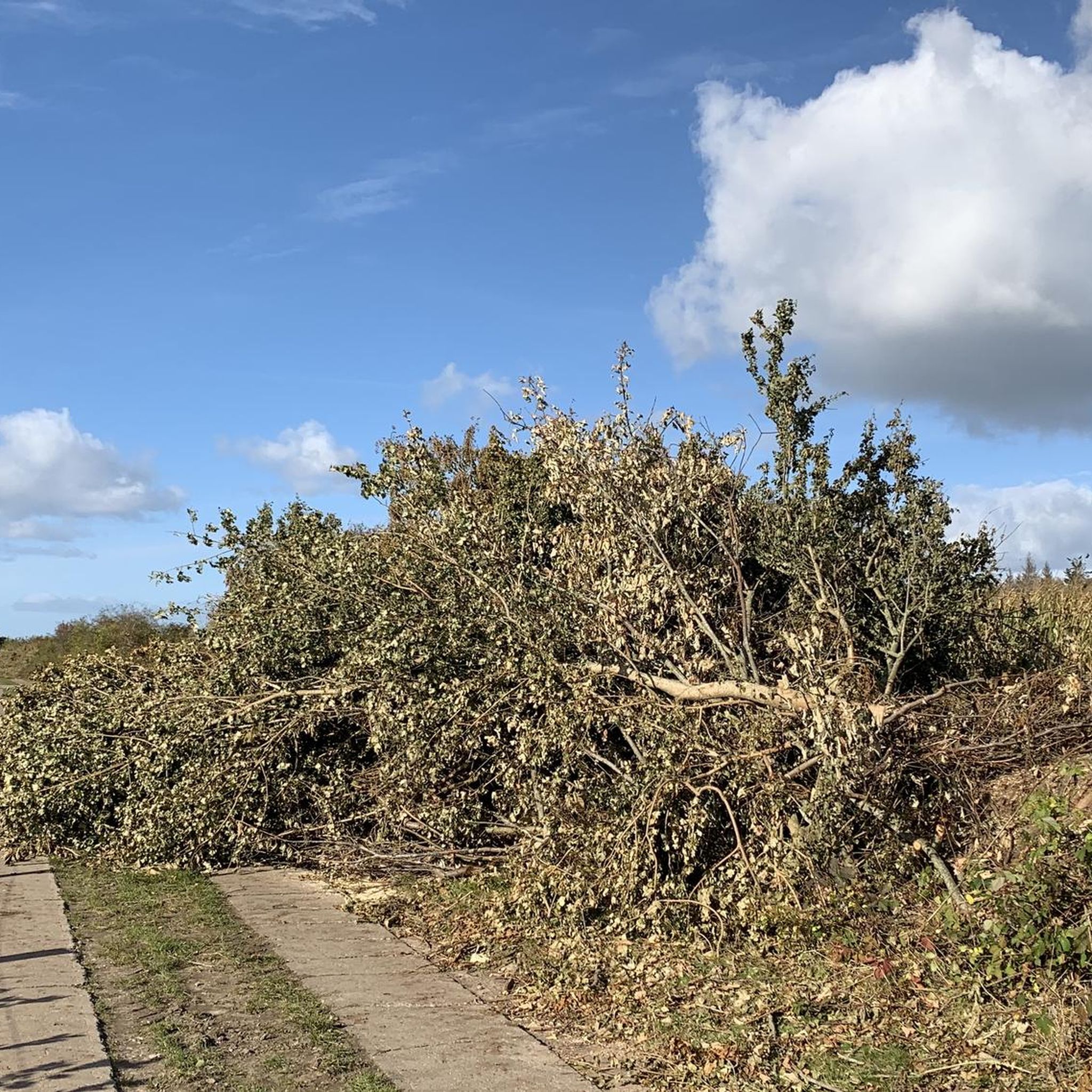
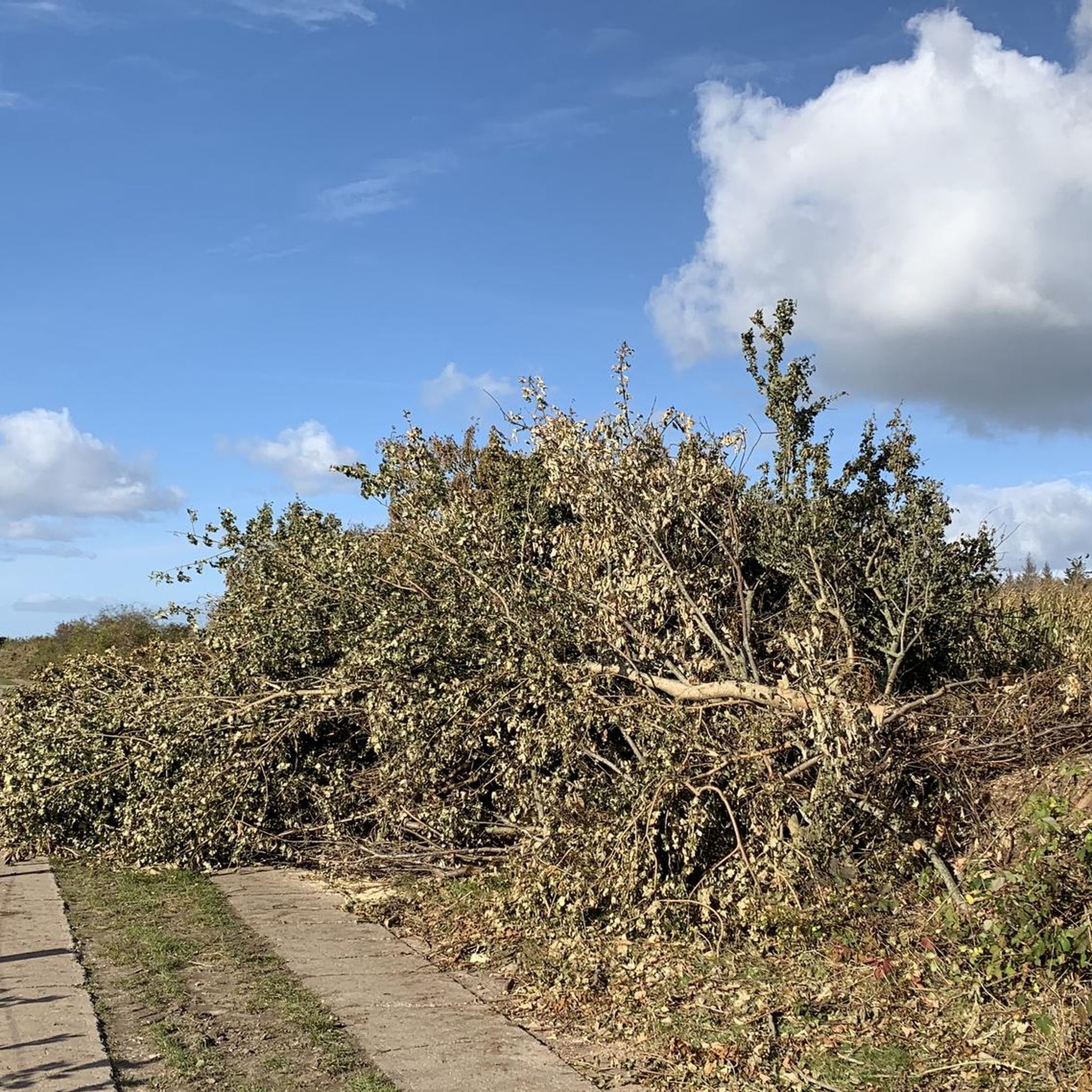
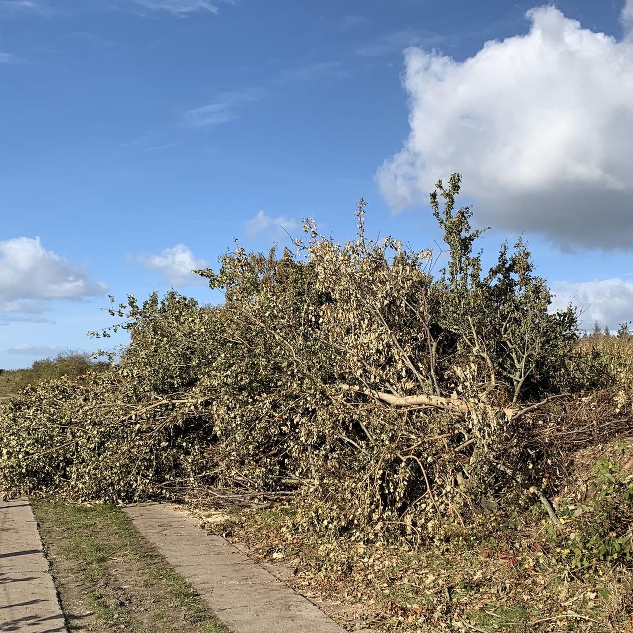
It has now happened: large sections of the path, which ran directly along the edge, have collapsed, taking numerous trees with them. Part of it has been cordoned off with barrier tape – which is now quite damaged. A narrow alternative path runs alongside the original one. It is very sad and frightening, but walkable – however, definitely not recommended for strollers or people with mobility impairments!
6
1

The path west of the stairs has been destroyed by the storm surge, here you have to push through deep sand. The scenery is very beautiful
1
0

The restored megalithic tomb from the Neolithic period is not only impressive with its dimensions, everything here is beautifully laid out and a bench invites you to take a break
0
0

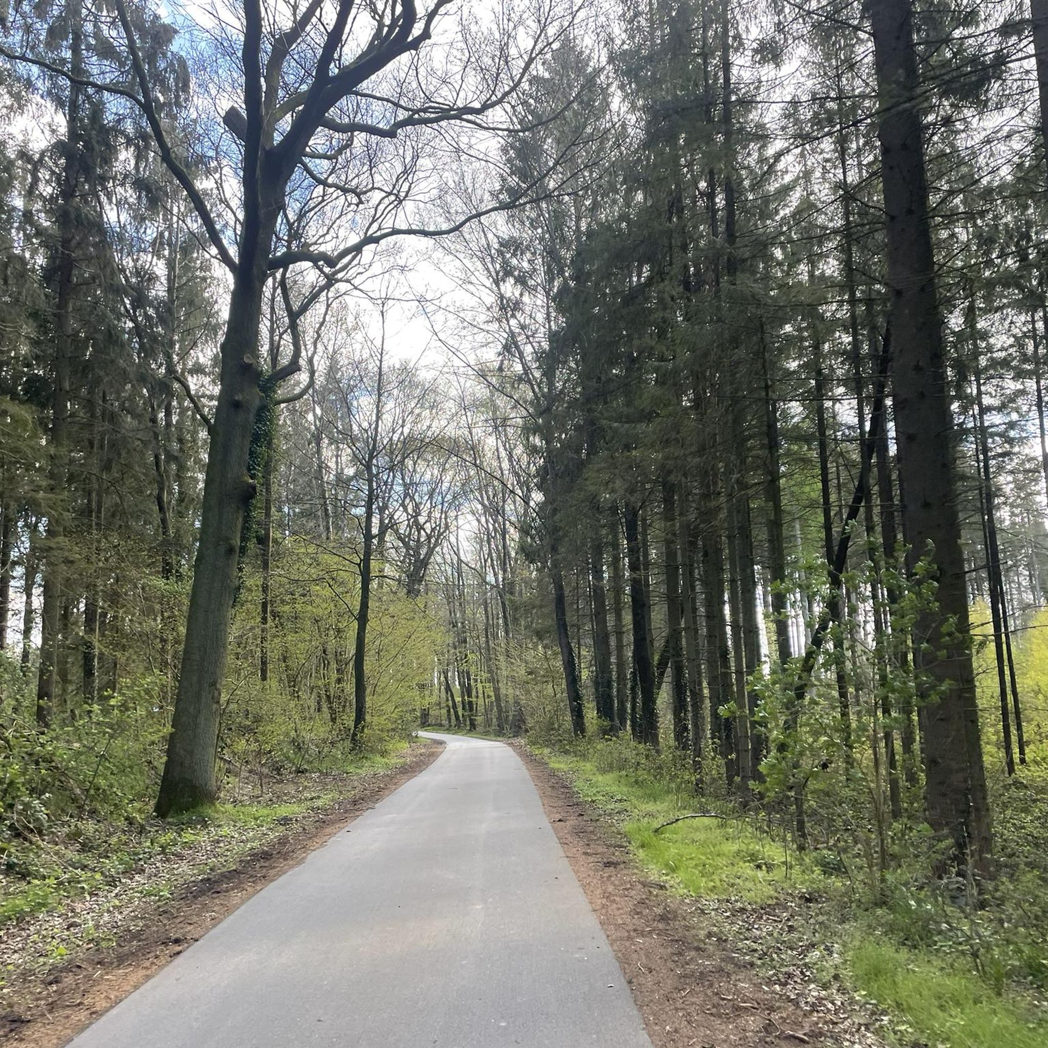
Here the Baltic Sea 💦 or the Eckernförde Bay shows itself from one of its most beautiful sides. A beautiful sight and a magnificent view. The path leads through beech forests and along the coast!
6
0

The Noor, a legacy of the Ice Age: Bays that are almost completely separated from larger bodies of water are called Noore. They were formed from glacier tongues during the Ice Age. The Windebyer Noor is one of the most famous. It is 4 square kilometers in size and up to 14 meters deep 😊. In the middle is a large boulder or granite stone. It is called the "White Stone" because it is a popular place for cormorants, among others, and is therefore covered in gravel 🦅...
3
0
ノイドルフ・ボルンシュタインでのの人気観光スポット

komootモバイルアプリでインスピレーションを得よう


さらに探索
これらのガイドで、最高の洞窟を探す範囲を広げましょうノイドルフ・ボルンシュタインでの:
