オスターレンフェルトの天然記念物・トップ20
オスターレンフェルトが誇る美しい風景を見てみたいなら、オスターレンフェルトの素晴らしい天然記念物・トップ20
に行ってみましょう。あなたにぴったりの場所が見つかるよう、素晴らしい天然記念物を探索するために必要なすべての情報を集めました。次のアウトドアの冒険に出かける計画の参考にしましょう。
最終更新日: 9月 14, 2026
リュームラントタイヒ
ハイライト • 湖
翻訳者 Google •
役立つ情報 は

シュレースヴィヒ=ホルシュタイン州の地理的中心
ハイライト • 記念碑
翻訳者 Google •
役立つ情報 は

今すぐサインアップして、こんな場所を発見しよう
最高のシングルトラック、ピーク、その他のエキサイティングなアウトドアスポットのおすすめを受け取ろう。
ワイルデス・ムーア展望台
ハイライト • 展望台
翻訳者 Google •
役立つ情報 は

メトホルスト池
ハイライト • 湖
翻訳者 Google •
役立つ情報 は

グート・エムケンドルフ
ハイライト • 歴史的な場所
翻訳者 Google •
役立つ情報 は
無料でサインアップして、さらに多くの自然記念物を発見しましょう オスターレンフェルトでの。
すでにアカウントをお持ちですか?
無料アカウントで今日から始めよう
次の冒険が待っています。
コミュニティからのヒント

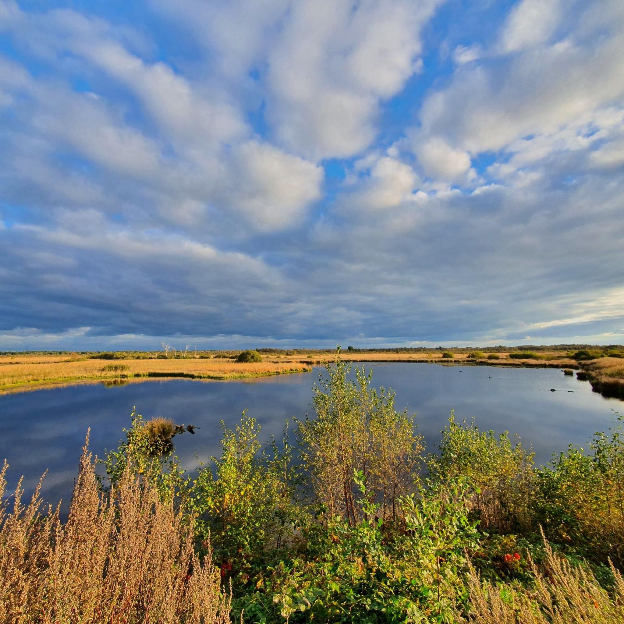
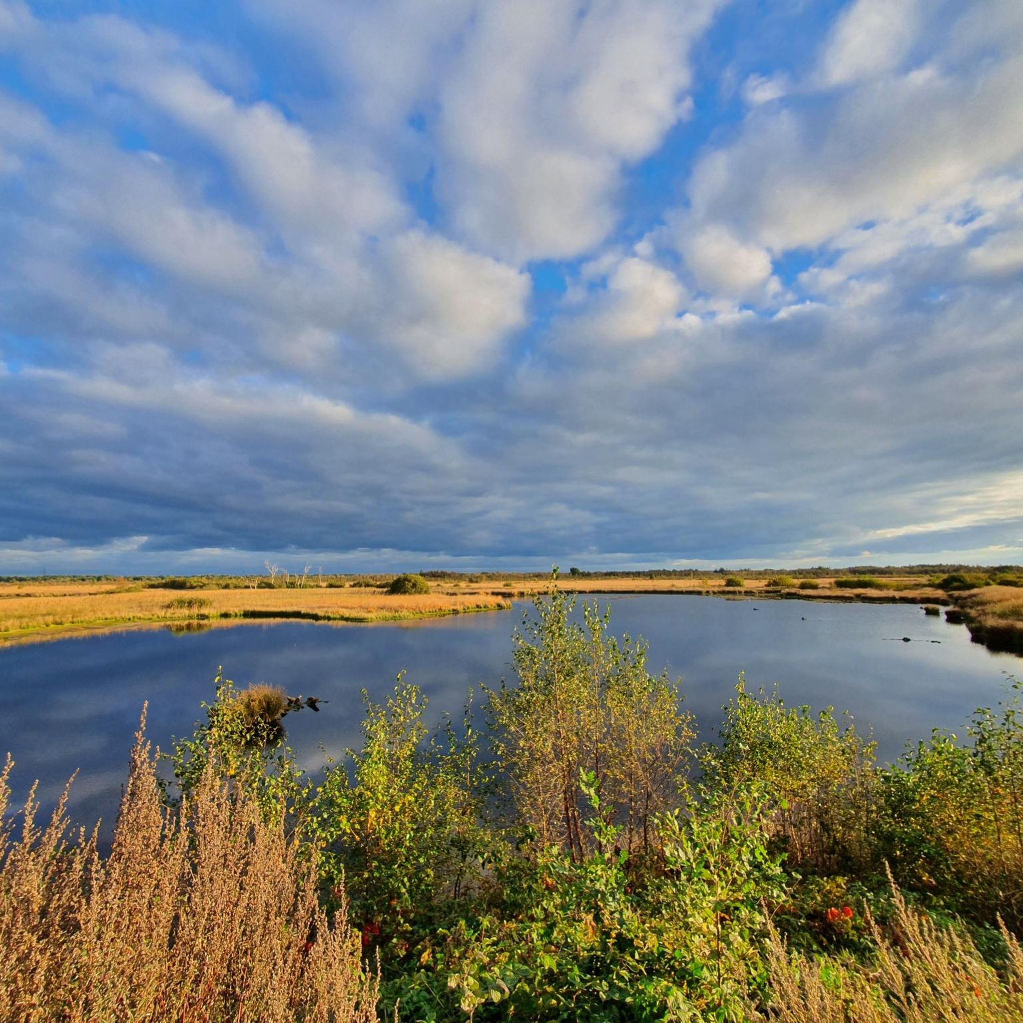
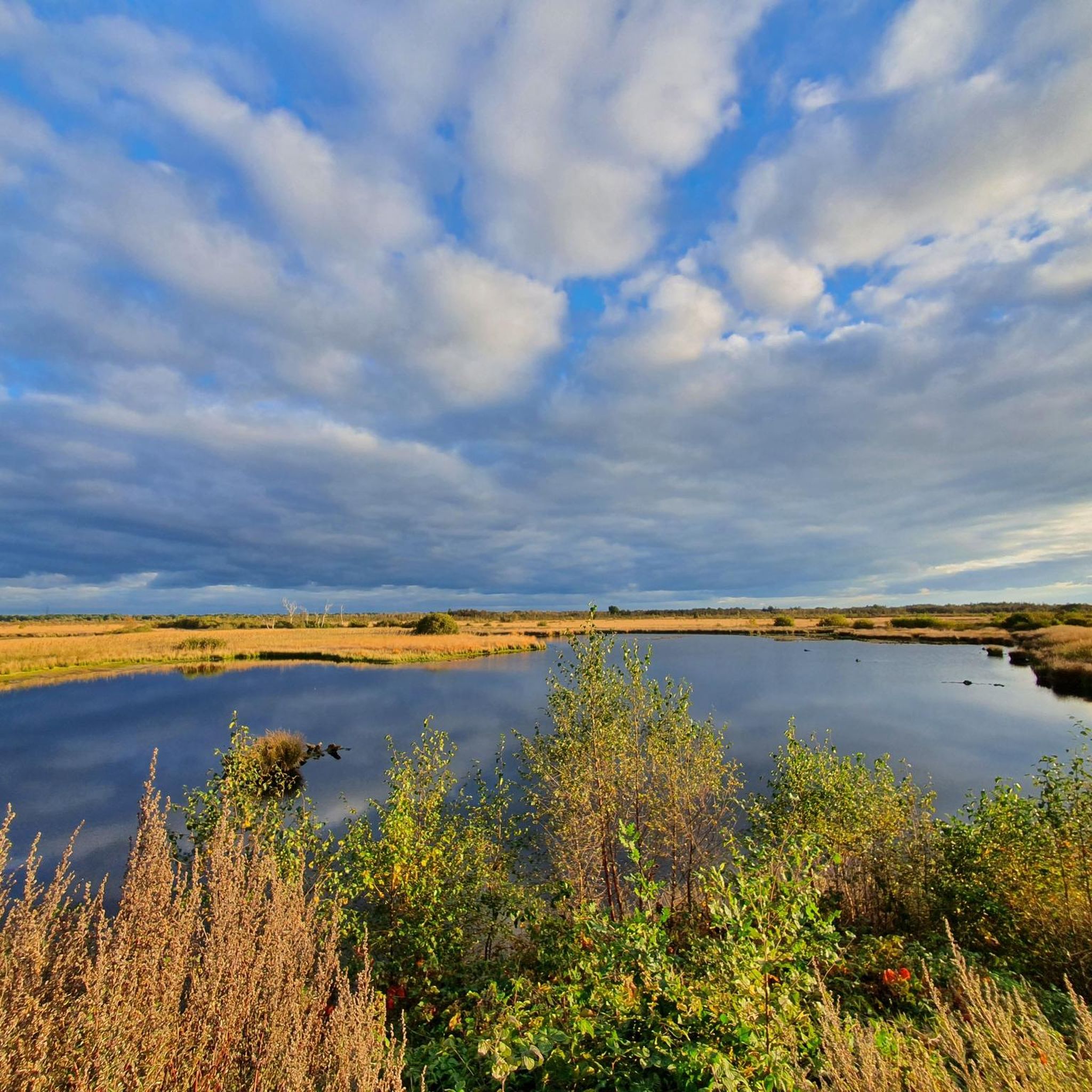
From the "Wildes Moor" viewing hill, a sweeping view opens up over the almost treeless raised moor and green landscape, interspersed with renaturalized bodies of water. The atmosphere is particularly mystical in the morning with ground mist and the rising sun. A circular trail allows you to experience the unique flora and fauna: patches of cotton grass and sphagnum moss, bracken, and moor grass alternate, providing habitat for approximately 50 breeding bird species and various dragonflies and grasshoppers.
3
0

The Emkendorf estate is located in Schleswig-Holstein in the municipality of Emkendorf in the district of Rendsburg-Eckernförde. It is a strictly symmetrical farm complex. In addition to the manor house, several farm buildings and other outbuildings have been preserved. The Hasensee, which used to be connected to the Westensee, is located in the extensive English-style landscape park. A 250-year-old avenue of linden and chestnut trees borders the estate grounds to the south. It is part of the old highway from Kiel to Rendsburg and has been protected as a natural monument since 1936.
1
0

Geographical center of Schleswig-Holstein: On May 18, 2001, the mayor of Nortorf, Hans-Helmut Köppe, unveiled the center, which is now marked with a millstone bearing the inscription "The center of Schleswig-Holstein". Next to the millstone are two pillars bearing the coat of arms of Nortorf and Schleswig-Holstein.
4
0

This is where the geographical center of SH is located... there are rest areas and bicycle parking spaces. The covered rest area was set up as part of the signposted e-bike tour with a view "Mittelpunkttour". A project that is funded by the EU. https://wfg-rd.de/news/neue-e-bike-touren-im-kreis-rendsburg-eckernfoerde-eroeffnet/
2
0
What is striking is the massive occurrence of reeds in the wide bank zone.
5
1

The Gut Emkendorf is a beautiful property that promises a fantastically beautiful sight just because of the avenue alone and is always a very popular attraction for different events 😊... The very best example of the event is the SHMF, which is taking place again right now with great joy for everyone involved 😉... Current information can always be found on the following website: https://gutemkendorf.de/
1
0
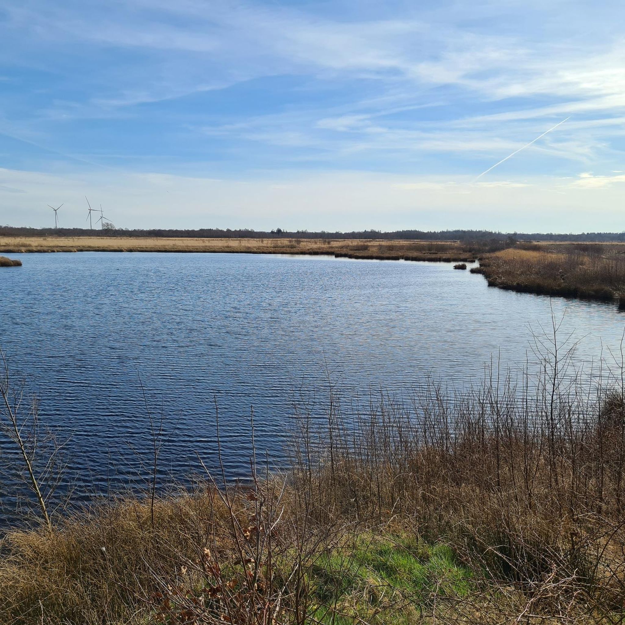
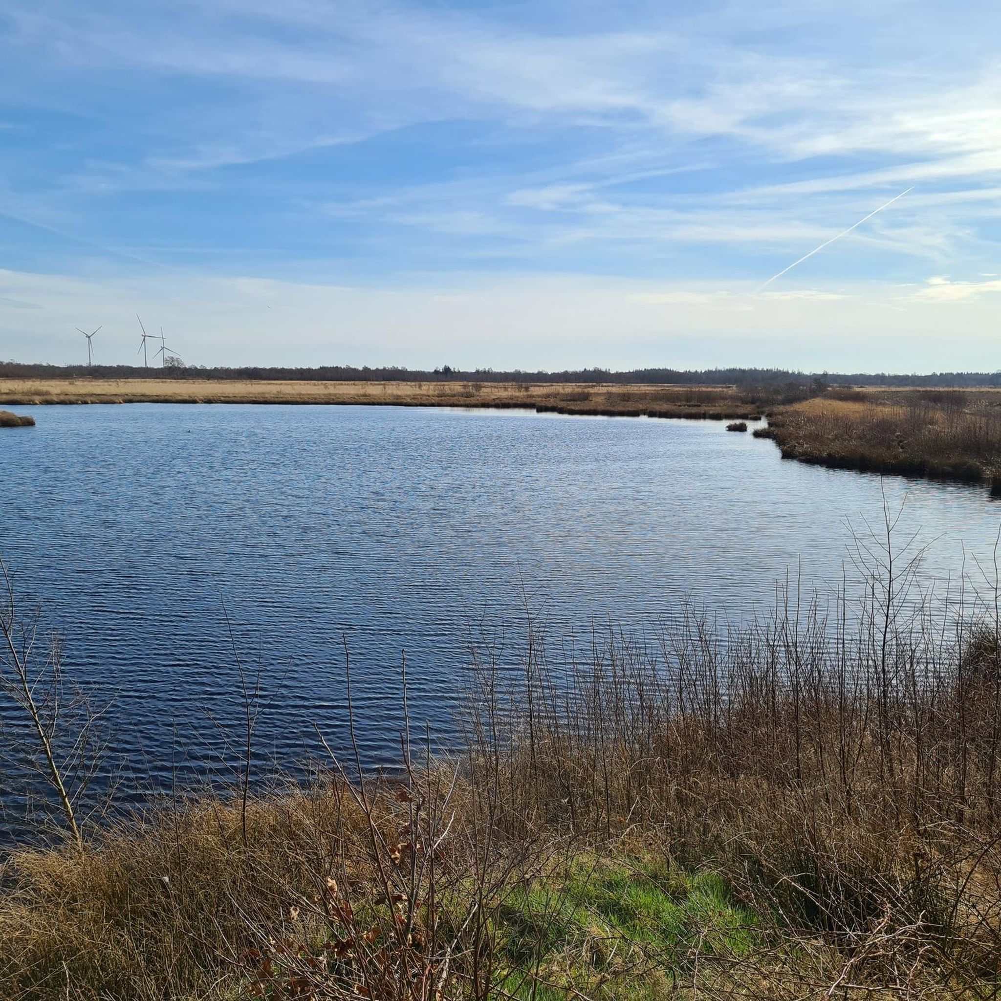
The Rümlandteich is also an exciting nature reserve with beautiful views of the pond and a great oasis for waterfowl and Co. 😊...
3
1
An exciting nature reserve with beautiful views of the pond... Three islands can be seen in the pond. Please don't confuse it with the opposite bank 😉...
1
0
オスターレンフェルトでのの人気観光スポット

komootモバイルアプリでインスピレーションを得よう


さらに探索
これらのガイドで、最高の洞窟を探す範囲を広げましょうオスターレンフェルトでの:
