エルターラインの天然記念物・トップ20
エルターラインが誇る美しい風景を見てみたいなら、エルターラインの素晴らしい天然記念物・トップ20
に行ってみましょう。あなたにぴったりの場所が見つかるよう、素晴らしい天然記念物を探索するために必要なすべての情報を集めました。次のアウトドアの冒険に出かける計画の参考にしましょう。
最終更新日: 9月 14, 2026
グライフェンシュタインの展望岩
ハイライト • 自然記念物
翻訳者 Google •
役立つ情報 は

クランツァールダム
ハイライト (セグメント) • 湖
翻訳者 Google •
役立つ情報 は

今すぐサインアップして、こんな場所を発見しよう
最高のシングルトラック、ピーク、その他のエキサイティングなアウトドアスポットのおすすめを受け取ろう。
シュテュルプナー洞窟
ハイライト • 洞窟
翻訳者 Google •
役立つ情報 は
グライフェンバッハ貯水池
ハイライト • 湖
It served as a reservoir for the Röhrgraben and the stamp mills located there.
翻訳者 Google •
役立つ情報 は

オルゲルパイフェンの玄武岩柱群(シャイベンベルク)
ハイライト • 自然記念物
翻訳者 Google •
役立つ情報 は

無料でサインアップして、さらに多くの自然記念物を発見しましょう エルターラインでの。
すでにアカウントをお持ちですか?
無料アカウントで今日から始めよう
次の冒険が待っています。

コミュニティからのヒント

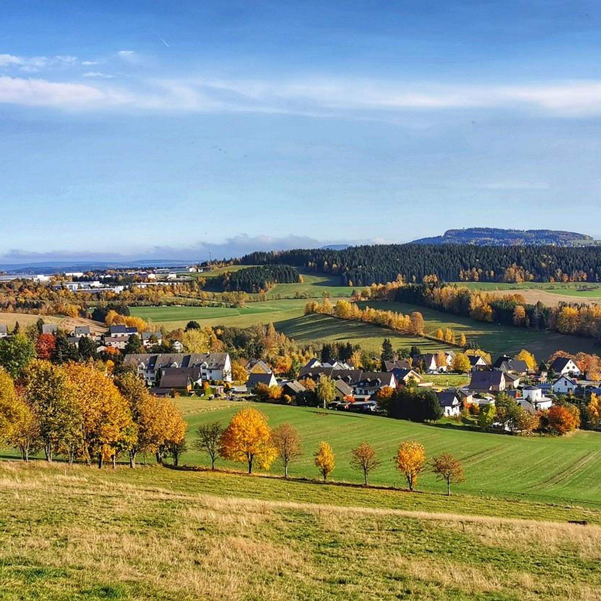
The Greifenbach reservoir is one of the oldest dams in Germany. It dams the Rote Wasser stream. Today it is a local recreation area.
2
0

A beautiful sandy beach, pleasantly clean air, excellent water quality, and two spacious lawns make the hearts of all sun worshippers and water lovers beat faster. The Greifenbachstauweiher pond is a popular holiday and recreation center and excursion destination at the foot of the Greifensteine.
2
0

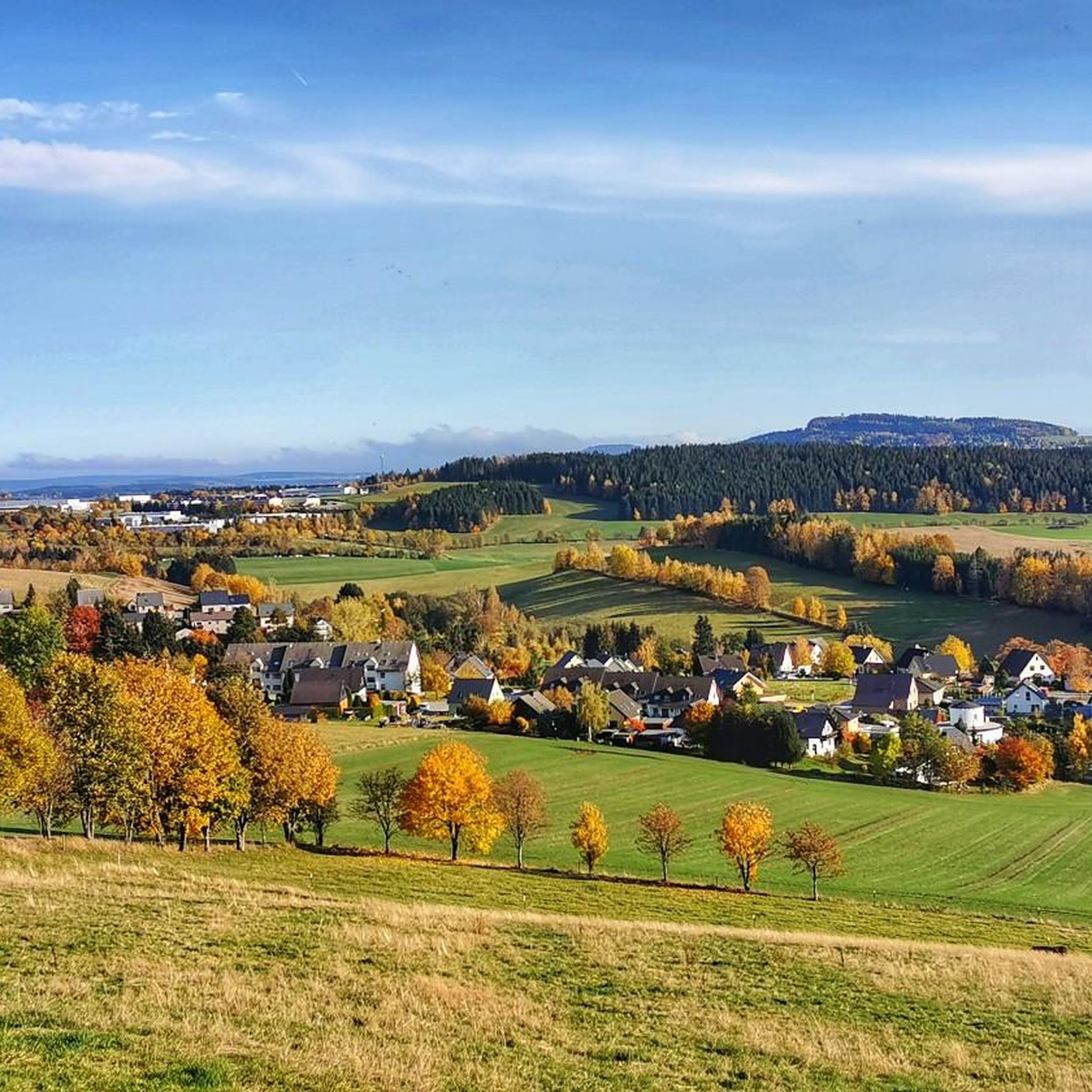
Very impressive basalt columns 🌋, arranged like organ pipes 😃. They are best seen from the large clearing by the ski jump 📷.
22
1

The basalt path along the organ pipes includes 15 educational panels that vividly illustrate the geological situation of the Scheibenberg, the flora and fauna of the surrounding area, and interesting facts about the history of the mountain and the towns of Schlettau and Scheibenberg.
21
0
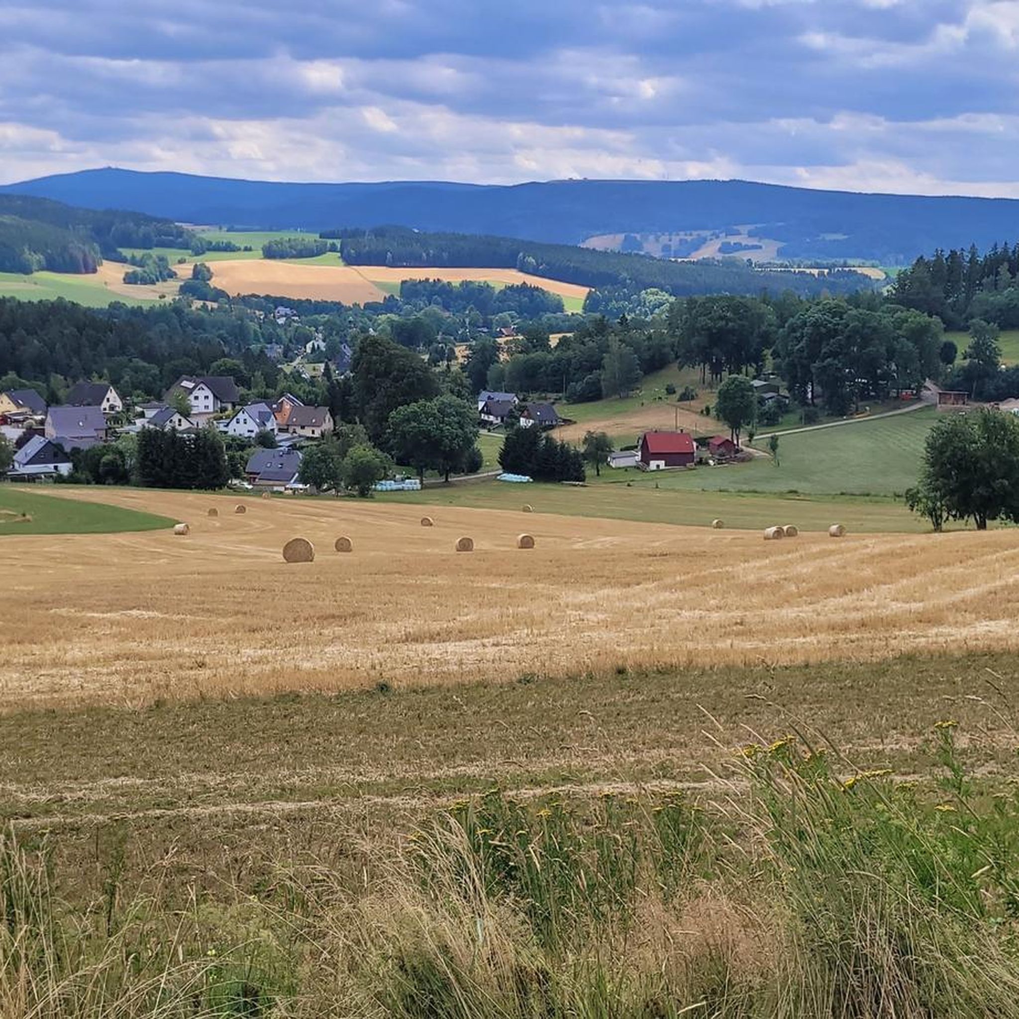
The Greifensteine are a rock formation in Saxony, known for climbing and mountaineering, among other things. Their highest point reaches an elevation of approximately 731 meters above sea level. The area around the Greifensteine is a nature reserve.
16
1


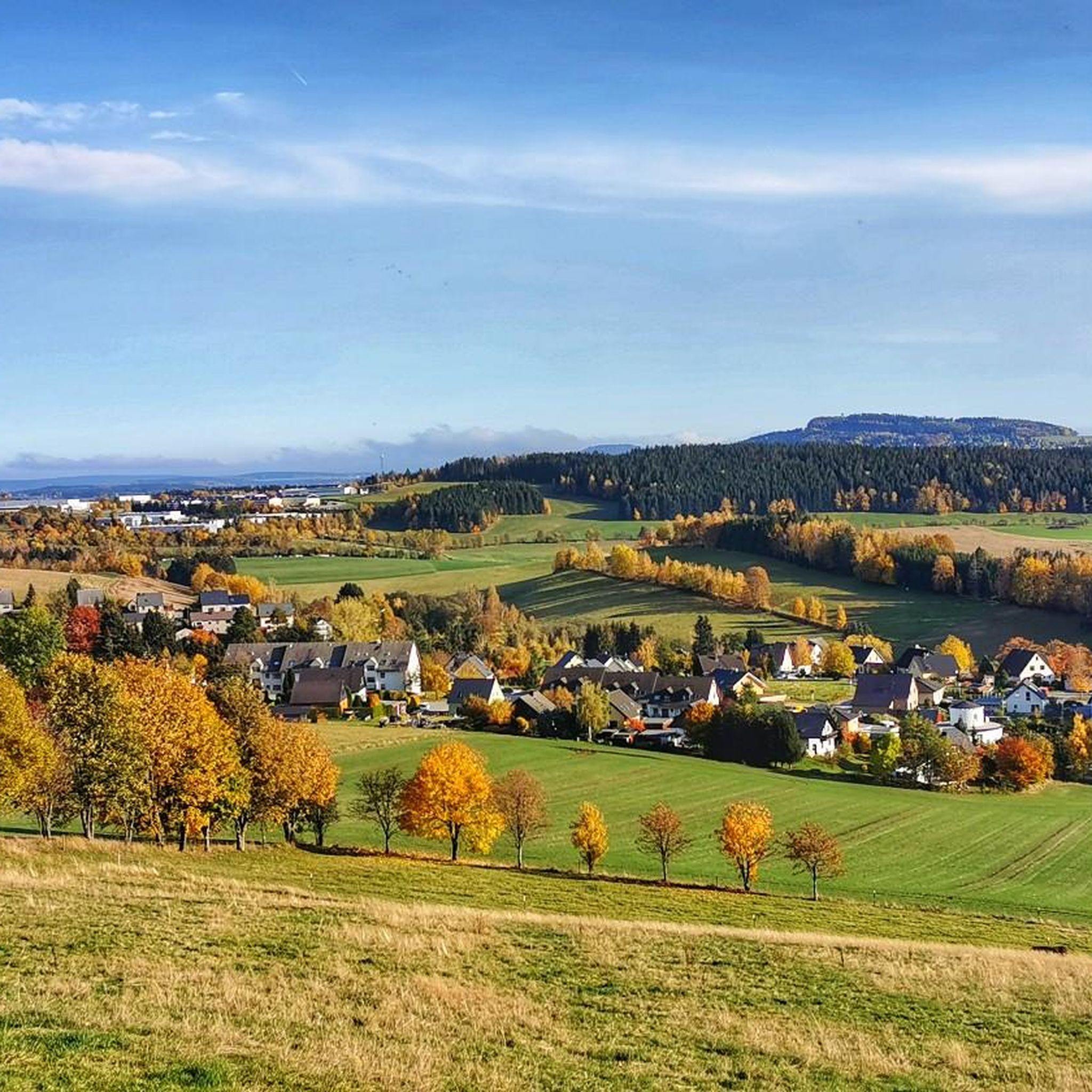
The dam of the reservoir was built in connection with the construction of the Röhrgraben (Röhr ditch) from 1396 to 1404. It served as a reservoir for the Röhrgraben and the stamp mills located there. This is where Station 16 of the mining trail is located.
3
0

Mining has been taking place on the Scheibenberg since 1522, initially in search of silver. Later, clay was mined and used to make pots and ovens. From 1914, the Krebs company and two municipal companies in the towns of Scheibenberg and Schlettau operated extensive quarries and sand pits. Long crowbars were used to drill holes up to three meters deep into the clay and sand beneath the basalt columns. Dynamite was then used to blast the bases of the "organ pipes" and cause them to collapse. The basalt blocks were further broken down by blasting them again and finally transported away by cable car.
20
0

komootモバイルアプリでインスピレーションを得よう


さらに探索
これらのガイドで、最高の洞窟を探す範囲を広げましょうエルターラインでの:
