ルートプランナー機能アップデート
App
ログインまたはサインアップ
アプリを入手
ログインまたはサインアップ
ルート
Places to see
Natural Monuments
ドイツ
ザクセン
エルツゲビルグスクライス

グロースリュッカースヴァルデ

グロースリュッカースヴァルデの天然記念物・トップ20


グロースリュッカースヴァルデが誇る美しい風景を見てみたいなら、グロースリュッカースヴァルデの素晴らしい天然記念物・トップ20
に行ってみましょう。あなたにぴったりの場所が見つかるよう、素晴らしい天然記念物を探索するために必要なすべての情報を集めました。次のアウトドアの冒険に出かける計画の参考にしましょう。

最終更新日: 10月 27, 2026

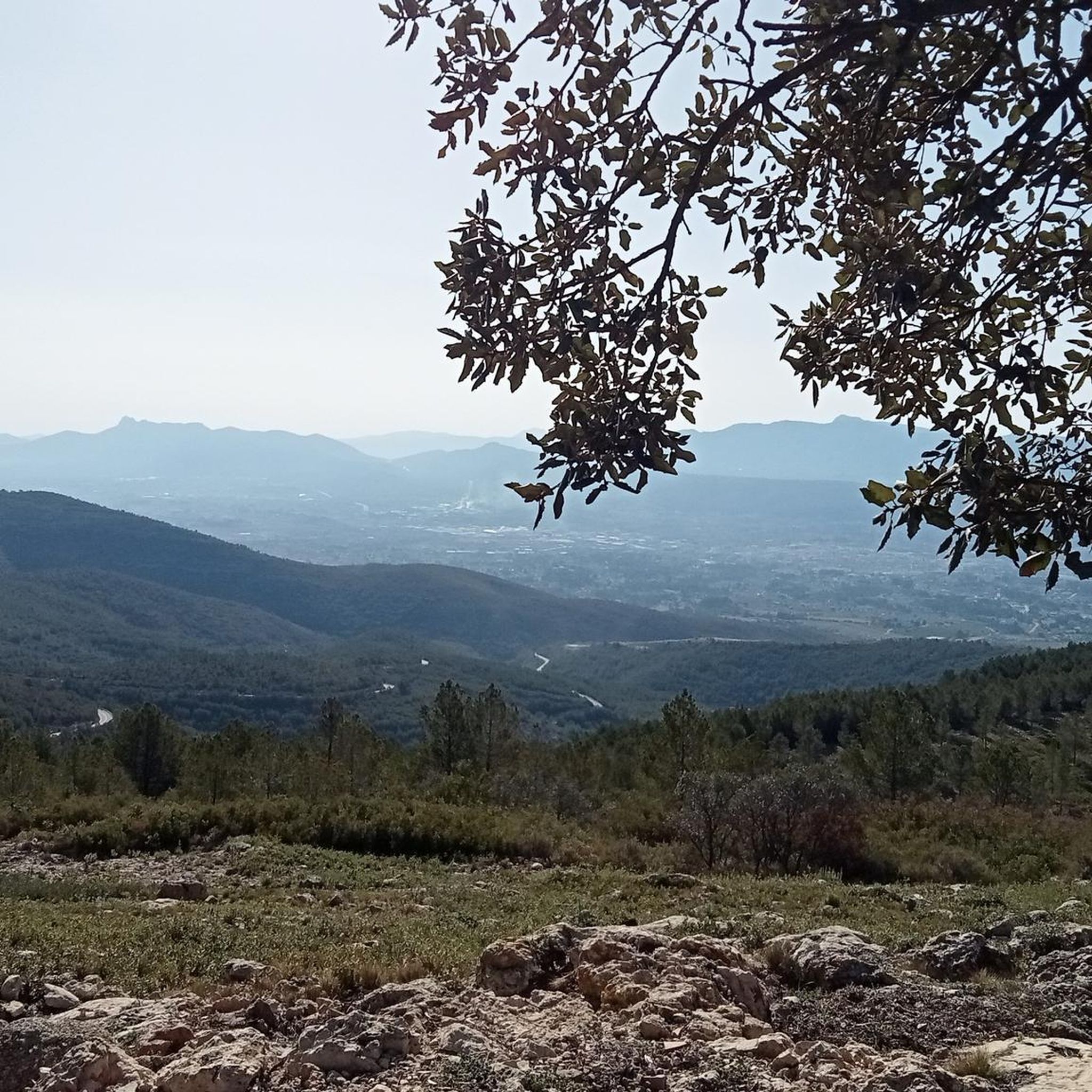
グライフェンシュタインの展望岩

ハイライト • 自然記念物

The lookout rock of the Greifensteine ​​builds a height of 731 m and offers a very beautiful panoramic view both up to the peaks of the Erzgebirge, as well as in the valleys direction Augustusburg and Chemnitz.

翻訳者 Google •

役立つ情報 は

によるものです

ここでのハイキングを見るスマートフォンに送信
保存
In my opinion, it is one of the most beautiful valleys anywhere. Impressive with its flora and fauna, it invites you to go hiking. So don't forget a picnic and plant identification app.

翻訳者 Google •

役立つ情報 は

によるものです

保存

今すぐサインアップして、こんな場所を発見しよう

最高のシングルトラック、ピーク、その他のエキサイティングなアウトドアスポットのおすすめを受け取ろう。

無料新規登録
This imposing rock face rises dozens of meters high right next to the Black Pockau stream. The well-developed hiking trail leads over a small bridge from which you have a beautiful view of the Nonnenfelsen.

翻訳者 Google •

役立つ情報 は

によるものです

保存
Even if you've been there 10 times, you keep going back there. The black Pockau meanders picturesquely through the landscape which is very varied. Sometimes many 🌲🌳 very different 🌿🍀🌻🌼🌸 …

翻訳者 Google •

役立つ情報 は

によるものです

保存
There are several ways to climb the Katzenstein from the Schwarzwassertal. However, you also have the option of driving via Pobershau to the hiking car park at Katzenstein and then walking a few meters.

翻訳者 Google •

役立つ情報 は

によるものです

保存

無料でサインアップして、さらに多くの自然記念物を発見しましょう グロースリュッカースヴァルデでの。

無料新規登録

すでにアカウントをお持ちですか?

無料アカウントで今日から始めよう

次の冒険が待っています。
ログインまたは登録

グロースリュッカースヴァルデ周辺で人気

グロースリュッカースヴァルデのロードバイクルート

グロースリュッカースヴァルデでのハイキング

グロースリュッカースヴァルデでのサイクリング

グロースリュッカースヴァルデのMTBトレイル

グロースリュッカースヴァルデのランニングコース

グロースリュッカースヴァルデでののグラベルライド

グロースリュッカースヴァルデでの登山&山歩き

コミュニティからのヒント

Christian 🏔️ OUTDOOR 🥾🧗🏻‍♂️🚵‍♀️
5月 29, 2025, Greifensteine Observation Rock Formation

The Greifensteine are a rock formation in Saxony, known for climbing and mountaineering, among other things. Their highest point reaches an elevation of approximately 731 meters above sea level. The area around the Greifensteine is a nature reserve.

Google翻訳による翻訳•

16

1

One of the most beautiful valleys in the Ore Mountains.

Google翻訳による翻訳•

17

1

If you are in the area, you have to come here. fantastic.

Google翻訳による翻訳•

22

1

Alwin
9月 25, 2022, Schwarzwassertal

Here you can take a wonderful tour along the river. A highlight for the senses.

Google翻訳による翻訳•

18

0

Very idyllic valley

Google翻訳による翻訳•

14

0

An absolute highlight in every season. The old Königssteig from the valley is unfortunately no longer accessible.

Google翻訳による翻訳•

7

0

A beautiful valley with various hiking options depending on your fitness level

Google翻訳による翻訳•

19

0

No matter what time of year, it is beautiful here. In the summer months and when the weather is nice, it can be a little more crowded.

Google翻訳による翻訳•

30

2

グロースリュッカースヴァルデでのの人気ルート

グロースリュッカースヴァルデのロードバイクルート

グロースリュッカースヴァルデでのの人気観光スポット

Places to see

Store rating

komootモバイルアプリでインスピレーションを得よう

無料のkomootアカウントがあれば、無限のアウトドアコースを簡単に見つけてカスタマイズし、ナビで案内できます。

または

今すぐkomootに参加しよう
Store rating

さらに探索

これらのガイドで、最高の洞窟を探す範囲を広げましょうグロースリュッカースヴァルデでの:

ウォルケンシュタインミルデナウアイベンシュトックマリーエンベルクオルバーンハウブライテンブルン/エルツゲビルグイェーシュタットラウター・ベルンスバッハオーバーヴィーゼンタールシェーンハイデプファッファーオーダSchwarzenberg / Erzgebeiポッカウレンゲフェルトゼーマータールシュレッタウベーレンシュタインラシャウ・マルカースバッハボッカウシュトゥツェングリュンヨハンジョルゲンシュタットアンベルク・ブッフホルツツショルラウシュネーベルクGeyerグローソルバースドルフゲレナウ/エルツゲベイエーレンフリーダースドルフタムレースニッツテルマールバートヴィーゼンバードアウエシャイベンベルククロッテンドルフタンネンベルクドレバッハツヴェーニッツベルニヘン悪いシュレマケーニヒスヴァルデタールハイム/エルツゲビルグゴルンスドルフエルスニッツ/エルツゲビルグヤーンスドルフ/エルツゲベイアムツベルクSchwarzwassertalグリューンハインバイエルフェルトエルターラインStollberg / Erzgebirgeブルクハルトシュドルフニーダードルフ(ザクセン)ゴルナウチョッパウニーダーヴュルシュニッツルガウ/エルツゲビルグNeukirchen / ErzgebirgeグリューンハイニヘンホーンドルフGeyrischer WaldハイダースドルフSeiffen / ErzgebirgeドイチョイドルフFichtelbergRöthenbacher WaldBürgerwaldGroßerKranichsee

近くのアドベンチャーガイド

ミルデナウでやるべきこと

background

新しいピークを征服する準備をしよう

無料でサインアップ
探検する
ルートルートプランナー機能バウチャーを利用ハイキングMTBトレイルロードバイクルートバイクパッキングサイトマップ
アプリをダウンロード
SNSでフォローする

© komoot GmbH

プライバシーポリシー