ジンメラートでの周辺の簡単なハイキングとウォーキング
4.6
(17952)
62,377
ハイカー
650
ハイキング
ジンメラートをウォーキングで探索して、楽しく自然を満喫しましょう。komootでは、みなさんがアドベンチャーを最大限お楽しみいただけるよう、ジンメラートでので人気の簡単なハイキングとウォーキングルートのリストを作成しました。これらのルートはショートハイキング、子供連れや家族みんなでのアクティビティにも最適で、誰もが楽しめるルートとなっています。
最終更新日: 10月 23, 2026
4.5
(150)
450
ハイカー
6.48km
01:51
150m
150m
4.7
(318)
1,081
ハイカー
初級者向けハイキング. 歩きやすい道です。

4.7
(219)
689
ハイカー
初級者向けハイキング. 歩きやすい道です。
4.5
(124)
415
ハイカー
6.07km
01:51
190m
190m
初級者向けハイキング. 歩きやすい道です。
4.7
(179)
585
ハイカー
初級者向けハイキング. 歩きやすい道です。
さらに多くのルートや他のユーザーのおすすめ情報を確認できます。
すでにアカウントをお持ちですか?
おすすめのツアーは他のkomootユーザーが実際に経験した何千ものアクティビティに基づいています。
無料アカウントで今日から始めよう
次の冒険が待っています。
ジンメラート周辺で人気
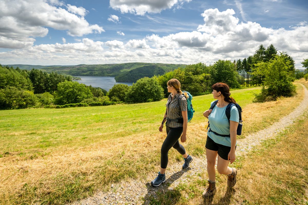
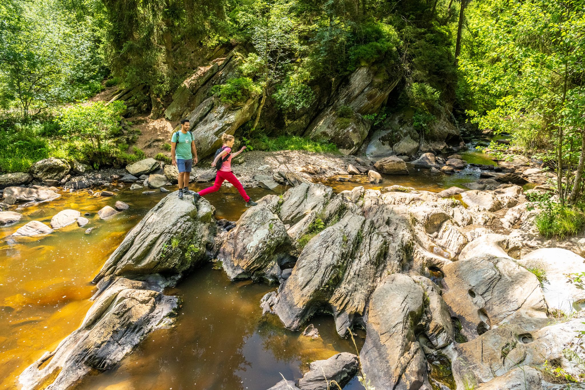
Shaped by rock and water – hikes in the Rureifel region
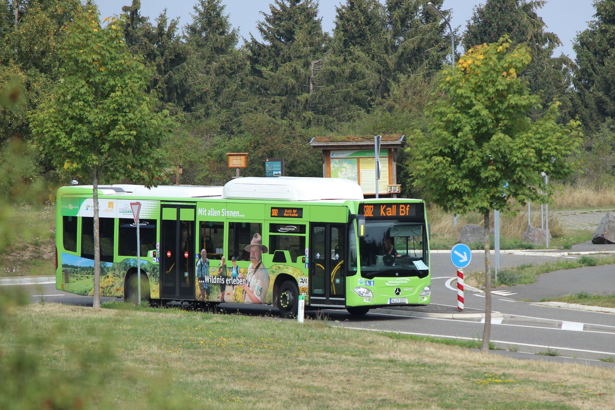
The Eifelsteig's 8 partner trails in Aachen region
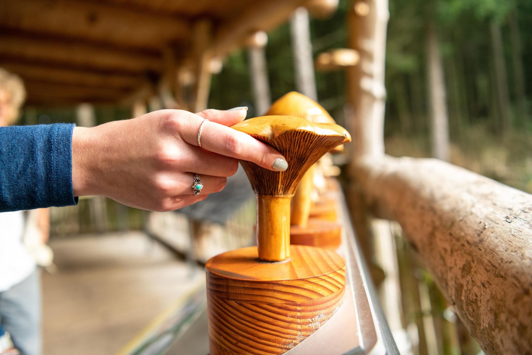
Next stop:アリストングー、ジェール国のEifel共和国プロジランドを有限ないます
ブランドのエイフォ国気のログラード
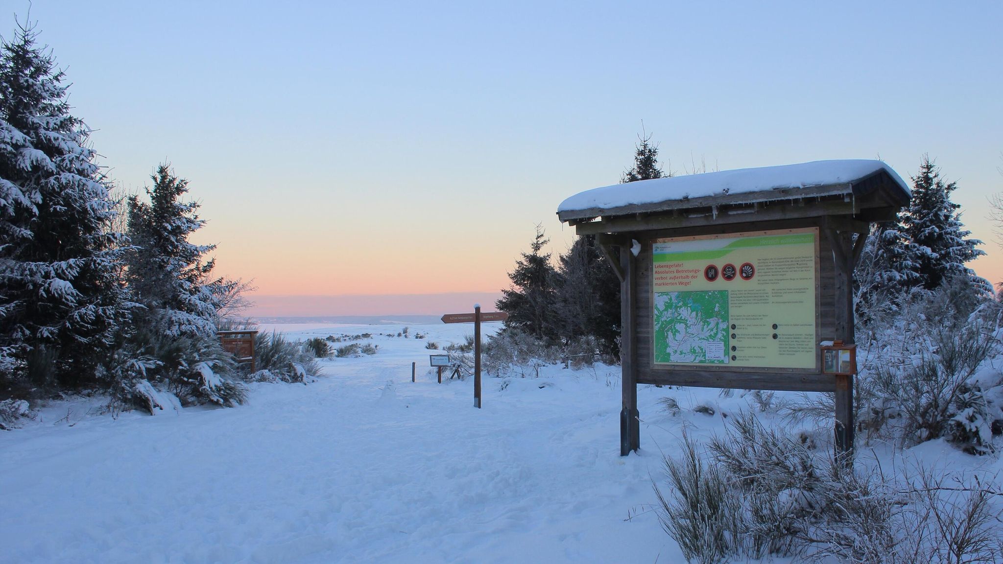
アイフェル国立公園の冬のハイキングコース
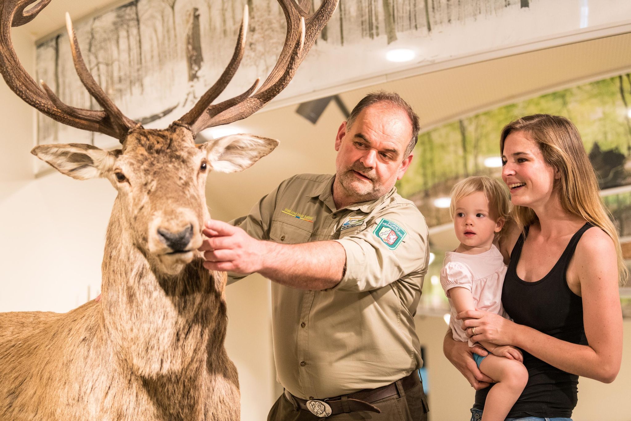
アイフェル国立公園の情報センターと施設
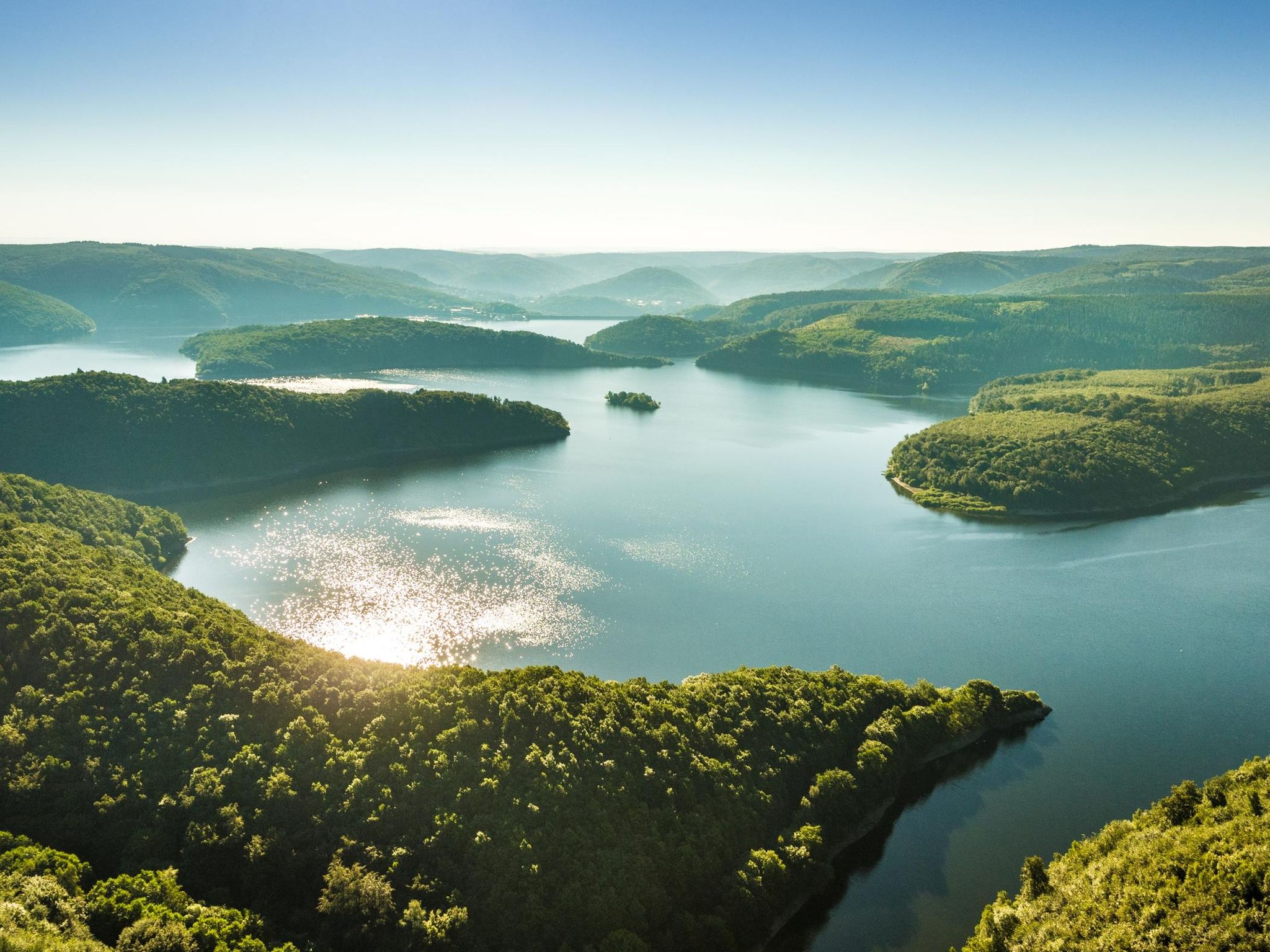
アイフェル国立公園周辺のテーマツアー
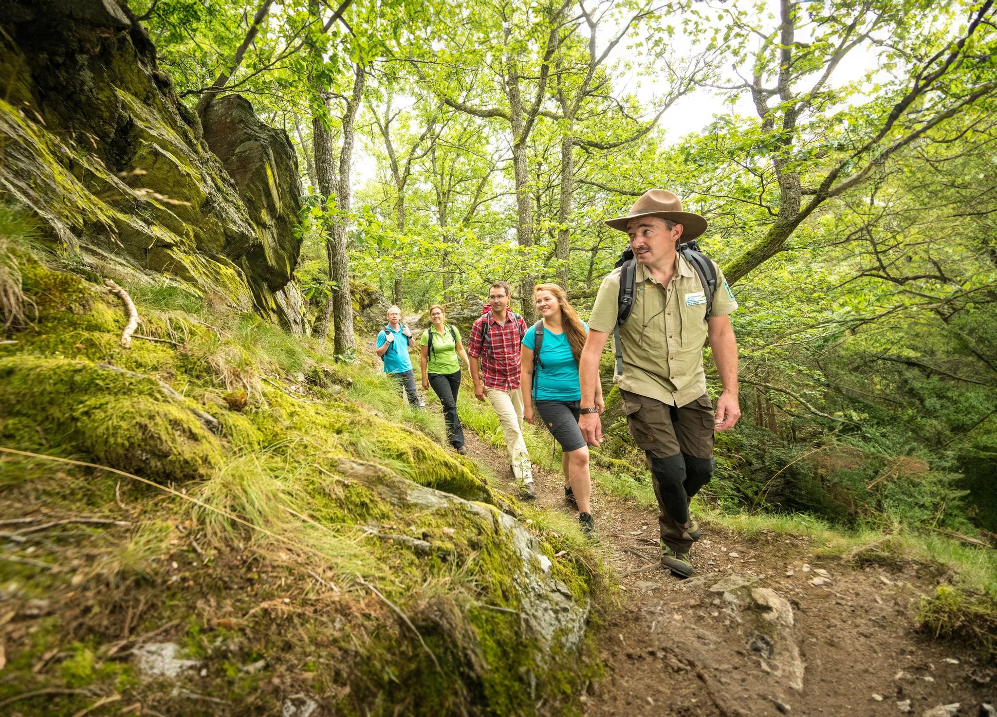
ワイルダネス・トレイル - アイフェル国立公園を通じて四段階
Volcanoes, water, forest – the partner trails of the Eifelsteig
Eifelsteig Trailの15ステージ — 岩と水の間
ジンメラートでのの他の冒険


コミュニティからのヒント


Here the Obersee flows into the Rursee.
1
0

The Urft Dam (Urfttalsperre) is the oldest valley dam in the Eifel region, built around 1900–1905 to regulate the Urft River and supply water for drinking water and power generation. Together with the Urft Lake (Urftstausee), the dam is part of an impressive network of reservoirs in the Eifel National Park, offering fantastic views, especially from a specially located viewing platform on the dam wall. The official Eifel-Blick Urftstaumauer panoramic viewpoint is located directly on the Urft Dam wall. From here, you have a spectacular view of: • 💧 The Urft Lake (Urftstausee), a large artificial lake with a water capacity of up to 45.5 million m³, stretching approximately 12 km. • 🏞️ The dam wall itself is an impressive structure of natural stone and technical hydraulic engineering that was once intended to be the largest dam in Europe. • 🌳 The surrounding nature of the Eifel National Park, the wooded slopes and the plateau around Gemünd, together form a picturesque and wide panorama. • 🏰 The former Ordensburg Vogelsang, a well-known historical site in the distance, is part of the broader Eifel landscape that you can see from this viewpoint. The viewing platform itself once stood on the site of the dam keeper's house (between 1924 and 1926), but it was destroyed during World War II. Today, it offers an open panoramic viewpoint with free access all day long. The view of the Urft Dam spillway from the viewing platform on the Urfttalsperre dam wall is one of the most beautiful panoramas in the Eifel National Park. From here, you can experience the wide view of Lake Urft (Urftstausee), the imposing dam, and the surrounding wooded landscape—a perfect combination of nature, technology, and history in one viewpoint.
0
0

Great acting. Great subject matter. Great soundscape.
0
0

Construction and redesign work is currently underway there. There are restrooms at the tourist information center.
0
0

komootモバイルアプリでインスピレーションを得よう


さらに探索
他の地域の最高のハイキングを見てみましょう。
