ジンメラートの天然記念物・トップ20
ジンメラートが誇る美しい風景を見てみたいなら、ジンメラートの素晴らしい天然記念物・トップ20
に行ってみましょう。あなたにぴったりの場所が見つかるよう、素晴らしい天然記念物を探索するために必要なすべての情報を集めました。次のアウトドアの冒険に出かける計画の参考にしましょう。
最終更新日: 9月 16, 2026
ストルフェルトのヒースとモアの自然保護区
ハイライト • 自然
翻訳者 Google •
役立つ情報 は

ホーエス・フェン湿原を通る木道
ハイライト • トレイル
翻訳者 Google •
役立つ情報 は
今すぐサインアップして、こんな場所を発見しよう
最高のシングルトラック、ピーク、その他のエキサイティングなアウトドアスポットのおすすめを受け取ろう。
アイフェルの眺め
ハイライト • 展望台
翻訳者 Google •
役立つ情報 は
ヒンデンブルク門
ハイライト • 自然記念物
翻訳者 Google •
役立つ情報 は

オーバーマウバッハ貯水池
ハイライト • 湖
翻訳者 Google •
役立つ情報 は

無料でサインアップして、さらに多くの自然記念物を発見しましょう ジンメラートでの。
すでにアカウントをお持ちですか?
無料アカウントで今日から始めよう
次の冒険が待っています。
ジンメラート周辺で人気
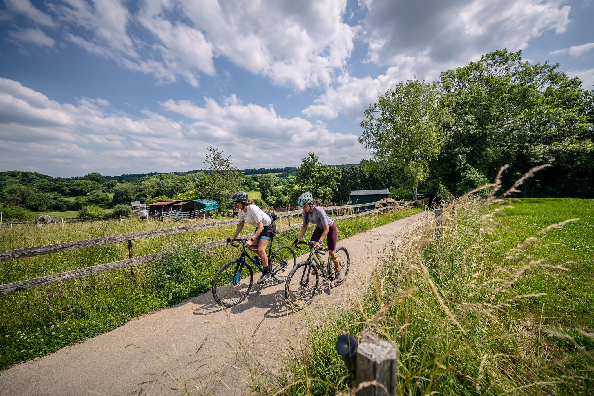
Gravel at its finest – rides around Aachen
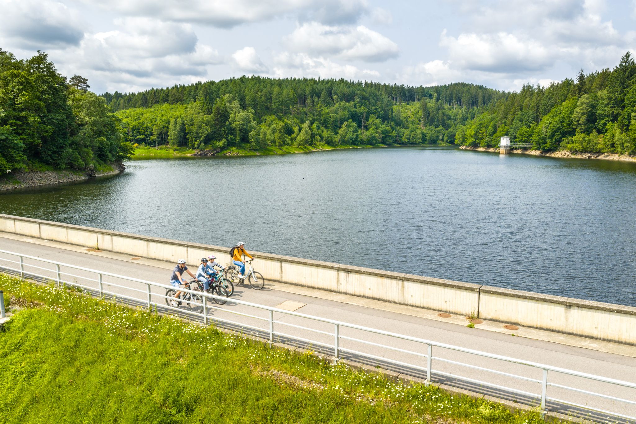
Aachen Time Loops – cycling from the past to the future
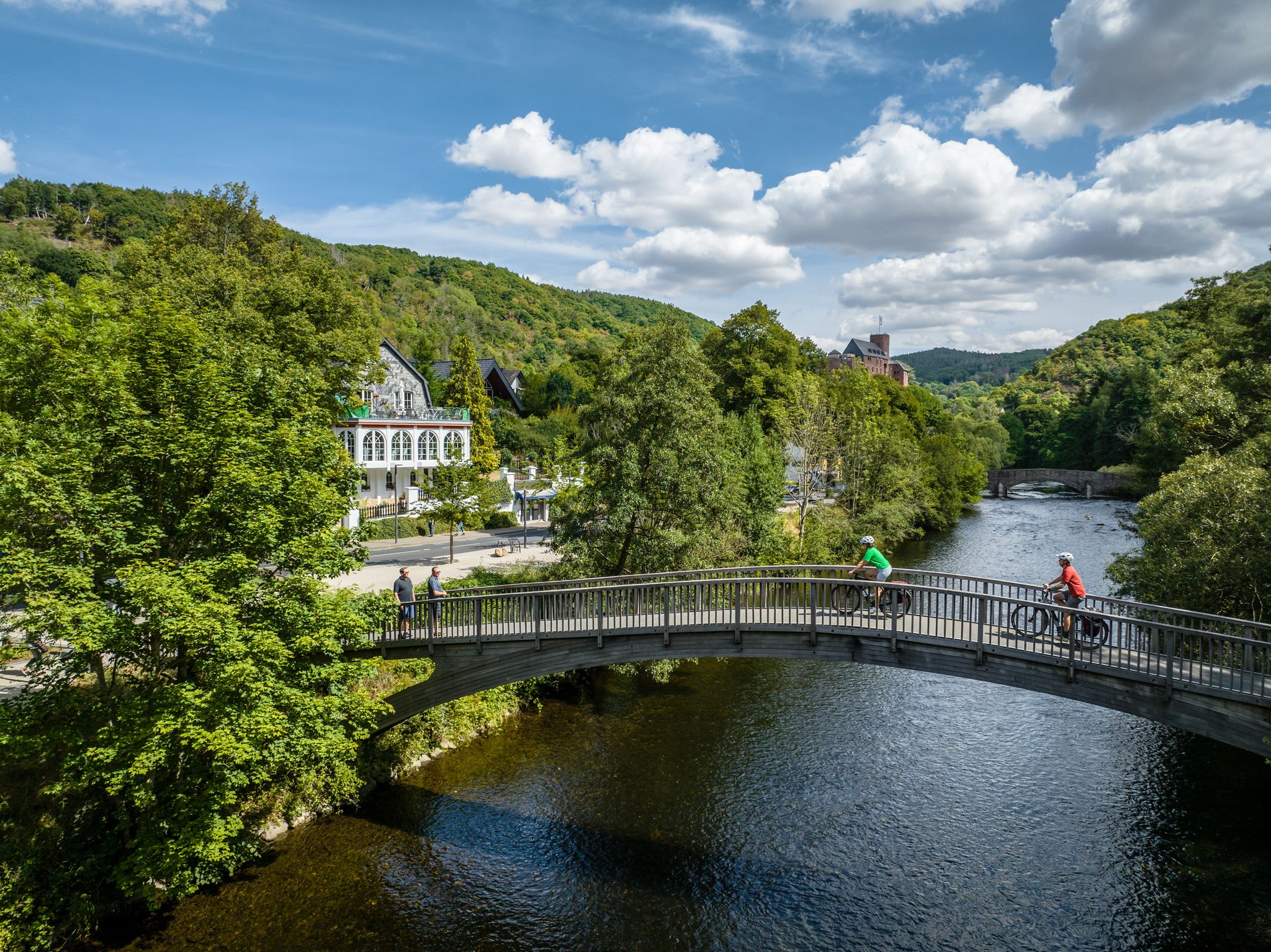
Heights, castles, moors – RURschleifen by bike
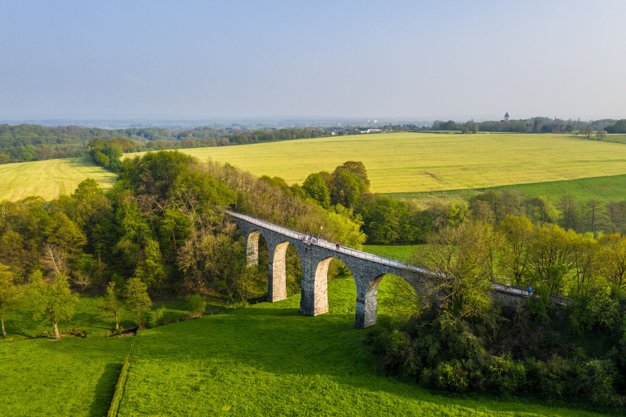
Cycling the tracks of the Vennbahn – the Vennbahnschleifen
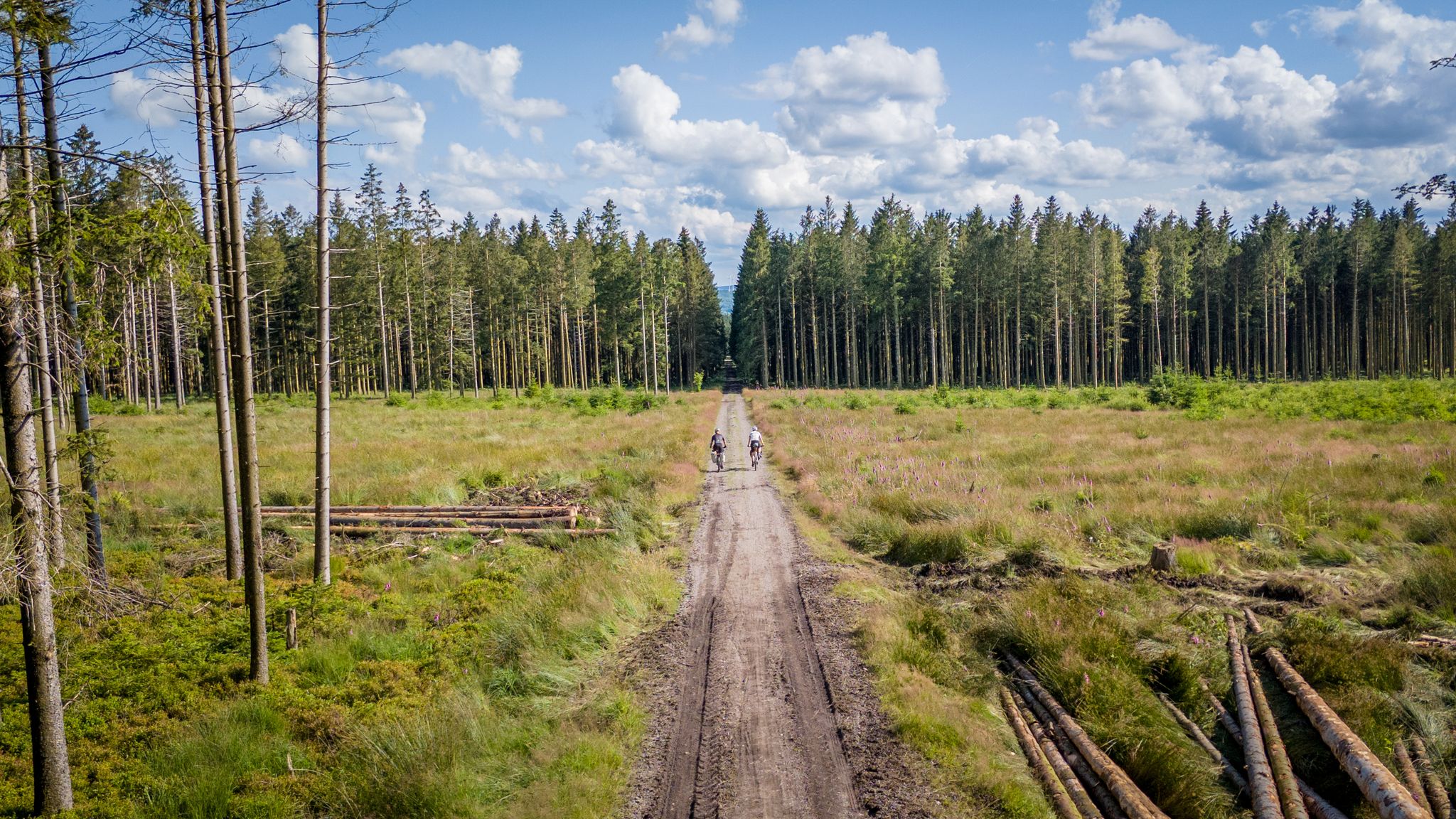
Vennbahn-Variant: A new gravel/MTB adventure
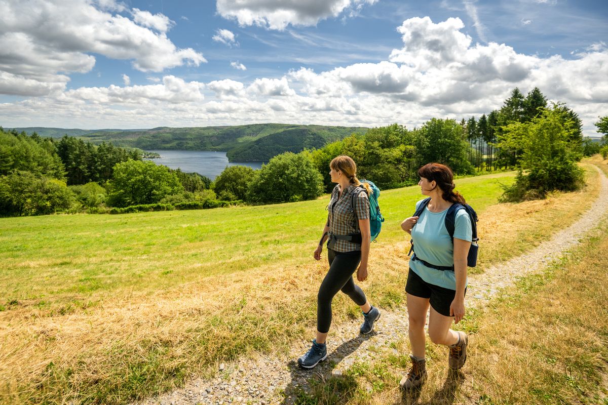
Shaped by rock and water – hikes in the Rureifel region
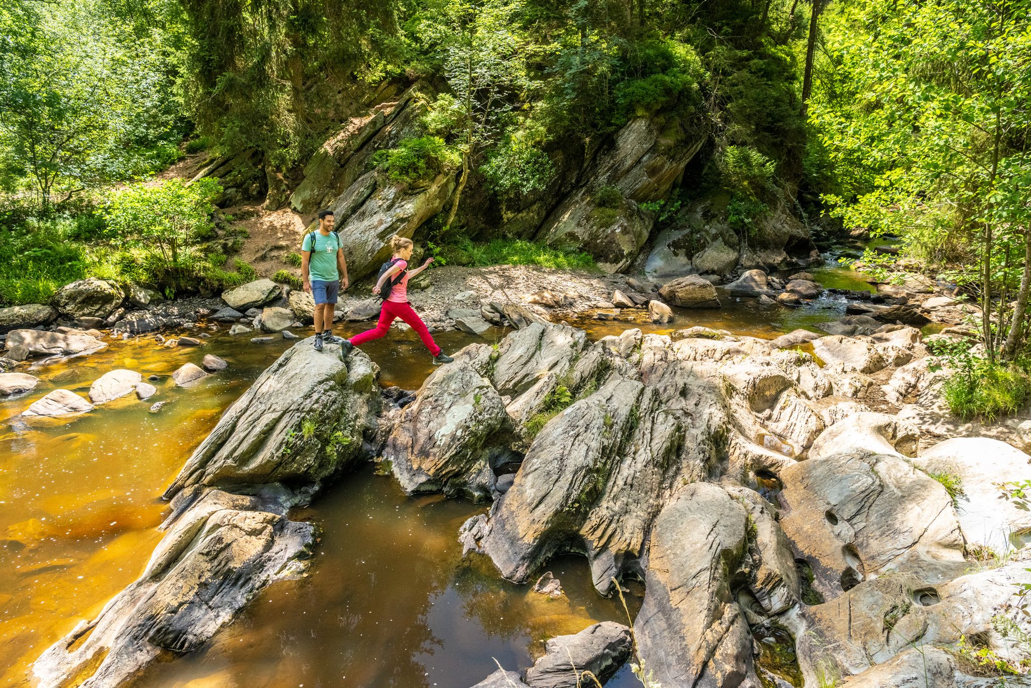
The Eifelsteig's 8 partner trails in Aachen region
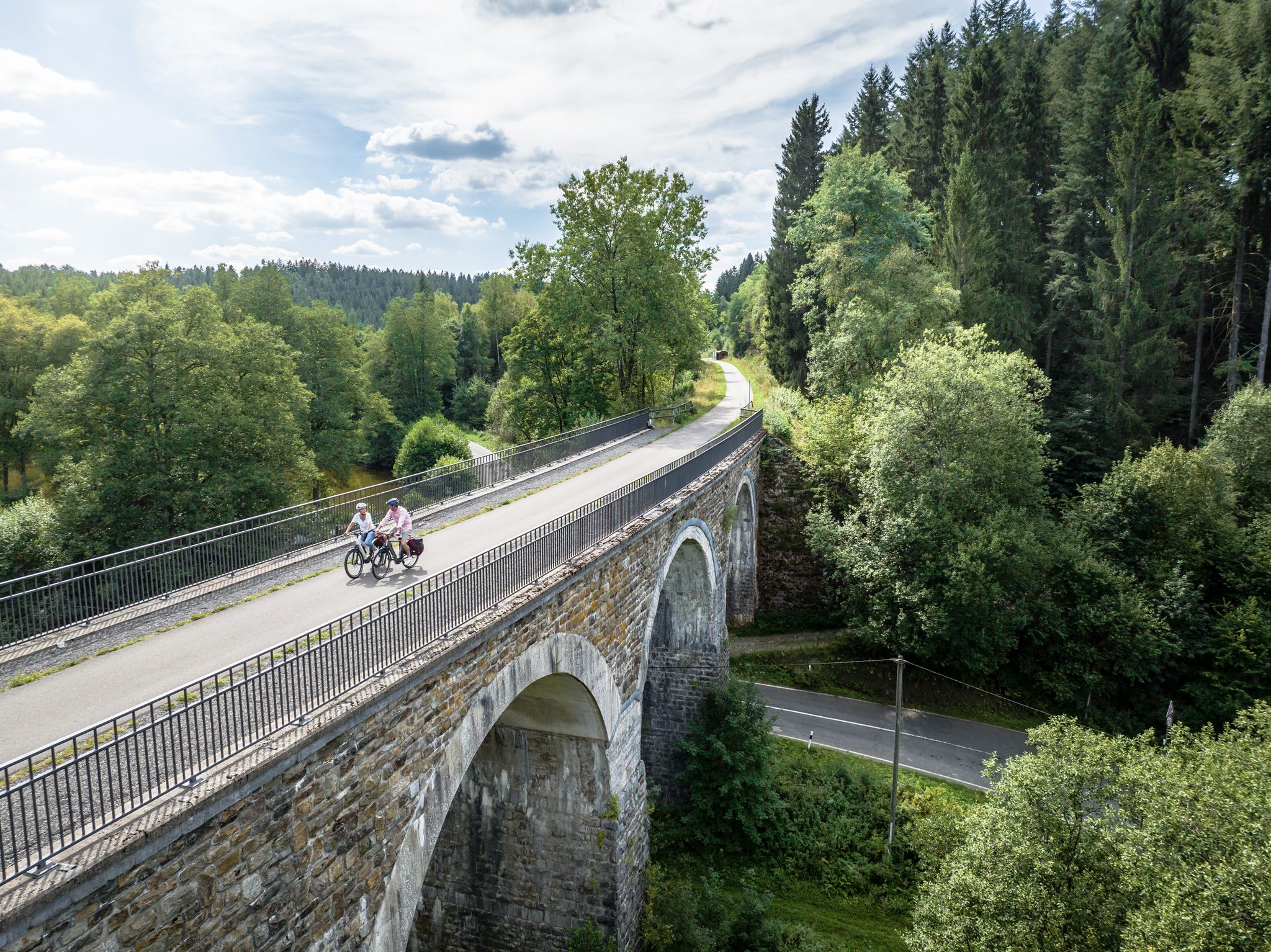
Fens, forests and water – cycling Tours in the Rur Eifel Region
Next stop:アリストングー、ジェール国のEifel共和国プロジランドを有限ないます
ブランドのエイフォ国気のログラード
ジンメラートでのの他の冒険


コミュニティからのヒント

One of the most beautiful, if not the most beautiful vantage point on the Rursee.
54
2

The Obermaubach dam in Obermaubach in the municipality of Kreuzau in the district of Düren, North Rhine-Westphalia, was built in 1933 and 1934 and serves as a compensating reservoir for the Rur inflows of varying strength and to control the most even possible discharge of water into the Rur. The reservoir is located in the area of the municipality of Kreuzau as well as in the upper area in the area of the municipalities of Hürtgenwald and Nideggen.
19
1
The lizards like to sunbathe on the wooden walkways. If you cautiously tread the wooden walkways in the midday sun and watch the path in front of you, you will certainly see some or get in front of the lens.
80
3
The moors of the High Fens are peppered with thick and velvety moss pillows and desks. Responsible for this is the peat moss, a small, primitive spore plant that loves the humid, nutrient-poor conditions. Over time, a thick layer of dead plant material forms, which, enclosed airtight in standing water, condenses into peat over the centuries. There are also common heather, bell heather, sour grass, rushes and sedges. The fact that nature takes a year for a millimeter of peat explains the wasteful use of time by raised bogs.
86
2

The High Fens (French Hautes Fagnes, Dutch Hoge Venen) is a cross-border, shield-shaped arched plateau between Germany and Belgium with an area of over 600 km². 133 km² of this is in Germany. In Belgium, around 54 km² (5,368 ha) of the Venn area are state-owned as domanial nature reserves of the High Fens, after it grew by 5 km² in 2018 on Belgian territory. Large areas are designed as raised bogs, from which the name is derived: Venn, Fenn (Dutch Veen) for bog. With 694 m O.P. the Botrange is both the highest point in the High Fens and the highest mountain in Belgium. Geologically, the High Fens belongs to the left bank of the Rhenish Slate Mountains, as does the bordering Ardennes and the Eifel as well as the Hunsrück south of the Moselle. Naturally, it forms the main unit 283 as part of the Ardennes / West Eifel (main unit group 28). The Belgian part of the High Fens has been on the Belgian tentative list of UNESCO World Heritage sites since 2008.
34
1
The Obermaubach reservoir is approx. 3 km long and has a storage height of approx. 5 m. There is also a circular hiking trail around the reservoir.
13
0

Due to the numerous rainfall in the past few weeks, the pretty bog pools in the Brackvenn are all filled with water. In the last two extremely dry summers, this was not always the case with the smaller pools.
19
0
A beautiful, picturesque Venn landscape. A pleasure for the soul.
18
1

komootモバイルアプリでインスピレーションを得よう


さらに探索
これらのガイドで、最高の洞窟を探す範囲を広げましょうジンメラートでの:
