アーヘンでの周辺の簡単なハイキングとウォーキング
4.5
(65966)
238,073
ハイカー
4,562
ハイキング
アーヘンをウォーキングで探索して、楽しく自然を満喫しましょう。komootでは、みなさんがアドベンチャーを最大限お楽しみいただけるよう、アーヘンでので人気の簡単なハイキングとウォーキングルートのリストを作成しました。これらのルートはショートハイキング、子供連れや家族みんなでのアクティビティにも最適で、誰もが楽しめるルートとなっています。
最終更新日: 8月 30, 2026
4.6
(766)
2,714
ハイカー
6.51km
01:41
30m
30m
初級者向けハイキング. あらゆるフィットネスレベルに適しています。 進みやすいルートです。あらゆるスキルレベルに適しています。
4.6
(184)
601
ハイカー
6.56km
01:45
70m
80m
初級者向けハイキング. あらゆるフィットネスレベルに適しています。 進みやすいルートです。あらゆるスキルレベルに適しています。

無料新規登録
4.5
(135)
416
ハイカー
6.48km
01:51
150m
150m
初級者向けハイキング. あらゆるフィットネスレベルに適しています。 進みやすいルートです。あらゆるスキルレベルに適しています。
4.5
(136)
398
ハイカー
6.14km
01:39
80m
80m
初級者向けハイキング. あらゆるフィットネスレベルに適しています。 進みやすいルートです。あらゆるスキルレベルに適しています。
4.2
(44)
162
ハイカー
4.92km
01:20
70m
70m
初級者向けハイキング. あらゆるフィットネスレベルに適しています。 進みやすいルートです。あらゆるスキルレベルに適しています。
4.6
(354)
1,153
ハイカー
7.10km
01:59
140m
140m
初級者向けハイキング. あらゆるフィットネスレベルに適しています。 進みやすいルートです。あらゆるスキルレベルに適しています。
4.7
(319)
1,043
ハイカー
初級者向けハイキング. あらゆるフィットネスレベルに適しています。 進みやすいルートです。あらゆるスキルレベルに適しています。
4.8
(410)
1,702
ハイカー
6.21km
01:39
70m
70m
初級者向けハイキング. あらゆるフィットネスレベルに適しています。 進みやすいルートです。あらゆるスキルレベルに適しています。
4.6
(309)
1,075
ハイカー
6.87km
01:57
150m
150m
初級者向けハイキング. あらゆるフィットネスレベルに適しています。 進みやすいルートです。あらゆるスキルレベルに適しています。
4.6
(302)
992
ハイカー
6.95km
01:55
120m
120m
初級者向けハイキング. あらゆるフィットネスレベルに適しています。 進みやすいルートです。あらゆるスキルレベルに適しています。
さらに多くのルートや他のユーザーのおすすめ情報を確認できます。
無料新規登録
すでにアカウントをお持ちですか?
おすすめのツアーは他のkomootユーザーが実際に経験した何千ものアクティビティに基づいています。
無料アカウントで今日から始めよう
次の冒険が待っています。
ログインまたは登録
アーヘン周辺で人気
ジンメラートでの周辺の簡単なハイキング

モンシャウでの周辺の簡単なハイキング
ヒュルトゲンヴァルトでの周辺の簡単なハイキング

ヴュルゼレンでの周辺の簡単なハイキング
Perlenbach-Fuhrtsbachtal-Talsystem周辺の簡単なハイキング

Wurmtal Südlich Herzogenrath, Einschließlich Meisbach, Würselen周辺の簡単なハイキング
ヘルツォーゲンラートでの周辺の簡単なハイキング
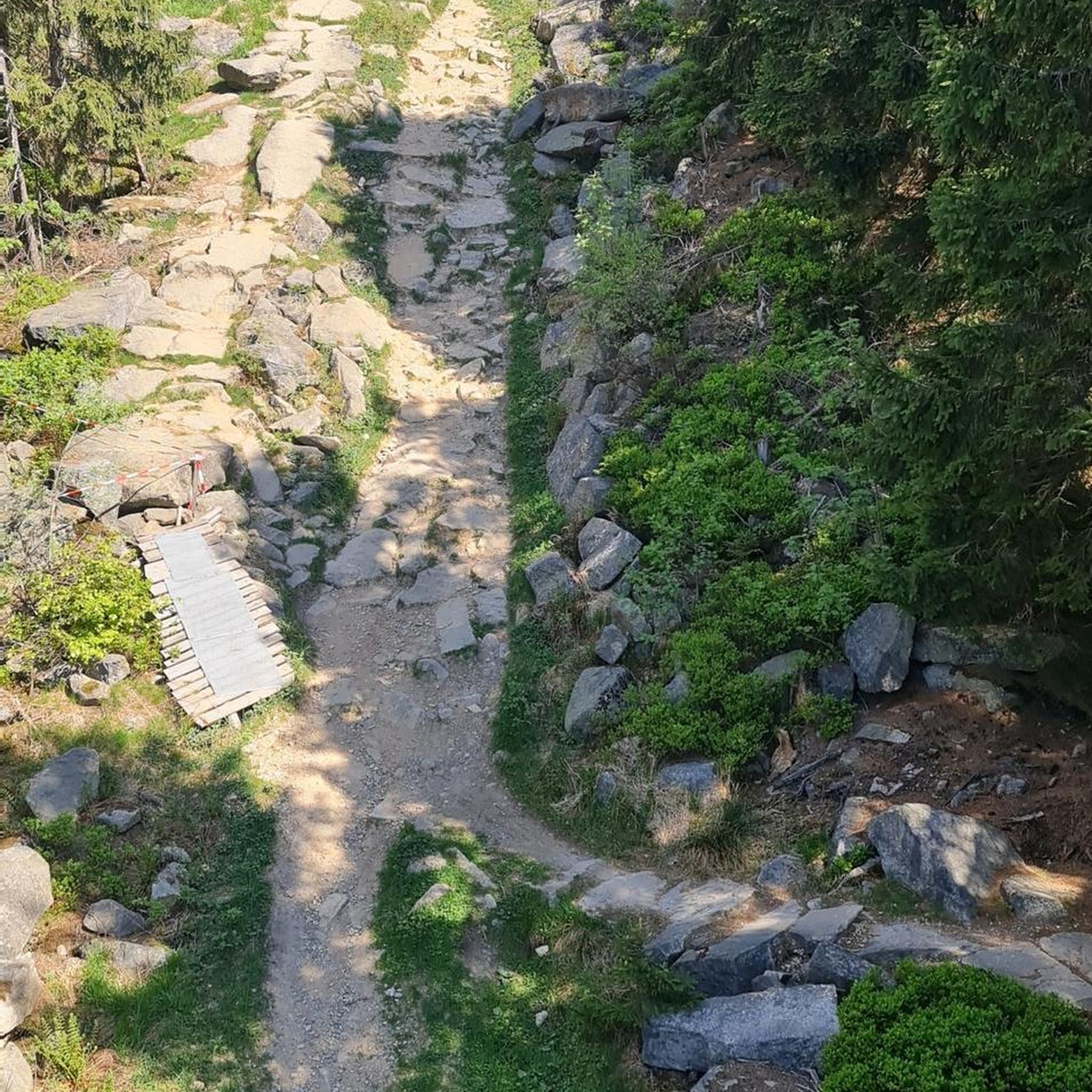
Perlenbachtalsperreでの周辺の簡単なハイキング
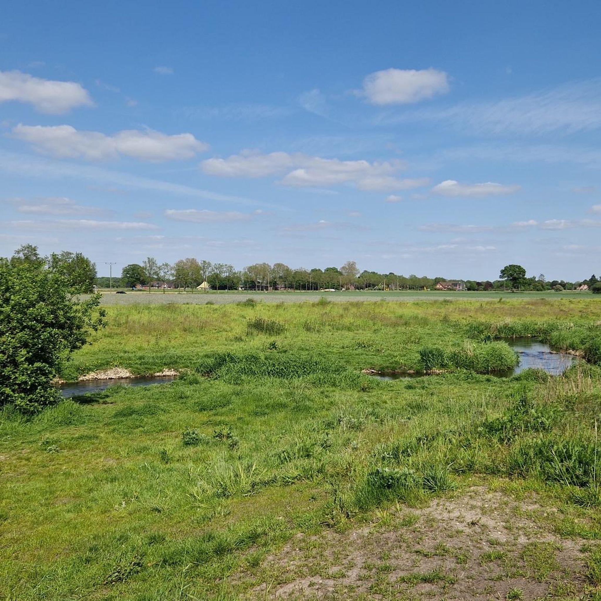
エシュヴァイラーでの周辺の簡単なハイキング

Rursee Oberseeでの周辺の簡単なハイキング
アーヘンでのの他の冒険


コミュニティからのヒント

Here the Obersee flows into the Rursee.
1
0

Beautiful view of fields and meadows along the Wurm river
0
0

According to local tradition, an old legend explains the origin of the Teufelsley (Devil's Rock). The devil was said to have been enraged because a monastery was to be built in the region. In his anger, he dislodged a massive boulder from the heights to destroy the structure. However, as he approached with the stone, an angel intervened, thwarting the devil's plan and stopping his attack. The rock brought by the devil then remained in its present location and has been called Teufelsley ever since.
45
0
According to regional oral tradition, the rock formations Engelsley and Teufelsley owe their names to an old legend connected with the construction of a monastery in the Monschau region. The tale recounts that the devil was enraged that a house of worship was to be built on this site. In his anger, he dislodged a massive boulder from the surrounding hills to destroy the building and halt construction. However, as he approached with the stone, an angel confronted him. To protect the monastery, the angel is said to have reached for an even larger rock. With this, he blocked the devil's path and thwarted his plan. The two rock formations—so the legend goes—fell to the ground and remained in the landscape as a visible symbol of this supernatural conflict.
44
2

The entrance to the Gouley mine tunnel, also known as the Stollenmundloch, is located in the picturesque Wurmtal valley near Würselen/Morsbach in Germany. This tunnel was an important part of Grube Gouley, one of the oldest coal mines in the Aachen region, first mentioned in 1599 under the name "Gute Ley." Gouley was one of the longest-operating coal mines in the region, with mining operations continuing until 1969. The tunnel was originally used for coal extraction and later for dewatering the mine, as underground mines often caused water problems. Today, water still flows from the tunnel into the Wurm, a clear sign of the landscape's industrial past. Although the tunnel is not open to visitors, the entrance itself is a tangible industrial monument and bears witness to centuries of mining tradition. Over the centuries, Gouley has enjoyed a rich and eventful history. In the 19th century, the mine was modernized with steam engines for water and coal extraction. In 1834, a sudden ingress of water led to a serious mining accident in which several miners died. This tragedy resulted in stricter safety measures in the Aachen region. Later in the 19th and 20th centuries, the mine was further expanded with rail and coal transport, and it became a major employer in the region. Following the declining demand for coal and the changing energy market, Gouley finally closed its doors on March 31, 1969. Today, the area around the tunnel is part of hiking trails through the Wurmtal, where visitors can discover traces of the industrial past: remnants of old railway lines, railway bridges, workers' houses, and the contours of former mining sites. This combination of nature and industrial heritage makes the area particularly attractive for hikers and cyclists. The Wurmtal itself offers a beautiful river landscape where forests, streams, and valleys blend harmoniously, creating a serene experience of Gouley's historical context. The Gouley Mine Tunnel symbolizes the region's long mining tradition and illustrates how an industrial landscape can transform into a place of natural recreation and remembrance. Walkers along the path alongside the tunnel literally experience the traces of the past while enjoying the tranquility of the watercourse and the surrounding green landscape. It is a place where history, nature, and culture converge, telling the story of human endeavor, technological progress, and the resilience of the landscape.
0
0
Great acting. Great subject matter. Great soundscape.
0
0

Construction and redesign work is currently underway there. There are restrooms at the tourist information center.
0
0

For those who arrive here, a break at Café Bellevue is definitely recommended. The view is breathtaking, and the cake is also excellent.
5
0

komootモバイルアプリでインスピレーションを得よう


探していたものは見つかりませんでしたか?
アーヘンの下にある他のハイキングをチェックして、目的地で完璧なルートを見つけましょう。
さらに探索
他の地域の最高のハイキングを見てみましょう。
