スコットランドの天然記念物・トップ20
スコットランドが誇る美しい風景を見てみたいなら、スコットランドの素晴らしい天然記念物・トップ20
に行ってみましょう。あなたにぴったりの場所が見つかるよう、素晴らしい天然記念物を探索するために必要なすべての情報を集めました。次のアウトドアの冒険に出かける計画の参考にしましょう。
最終更新日: 10月 27, 2026
オールドマン・オブ・ストー
ハイライト • 登山
翻訳者 Google •
役立つ情報 は

アーサーズ・シート
ハイライト • 山頂
役立つ情報 は

今すぐサインアップして、こんな場所を発見しよう
最高のシングルトラック、ピーク、その他のエキサイティングなアウトドアスポットのおすすめを受け取ろう。
ベン・ネビス山頂
ハイライト • 山頂
役立つ情報 は
クイラング
ハイライト • 自然記念物
役立つ情報 は
コニック・ヒルから望むロッホ・ローモンドの眺め
ハイライト • 展望台
Sometimes it can …
翻訳者 Google •
役立つ情報 は

ベン・ローモンド山頂
ハイライト • 山頂
役立つ情報 は

ケアン・ゴーム山頂
ハイライト • 山頂
役立つ情報 は
オールド・マン・オブ・ストールの眺め
ハイライト • 展望台
役立つ情報 は

オールドマン・オブ・ストーの眺め
ハイライト • 展望台
役立つ情報 は


無料アカウントで今日から始めよう
次の冒険が待っています。
スコットランド周辺で人気
Scenic hikes to stand-up paddleboarding locations in the UK
Supporting the National Three Peaks FKT in true Green Runners’ Style
Adventures with a Purpose – our A-TEAMers’ best routes
エフェメラルライン - イギリスの冬のリッジはすごい
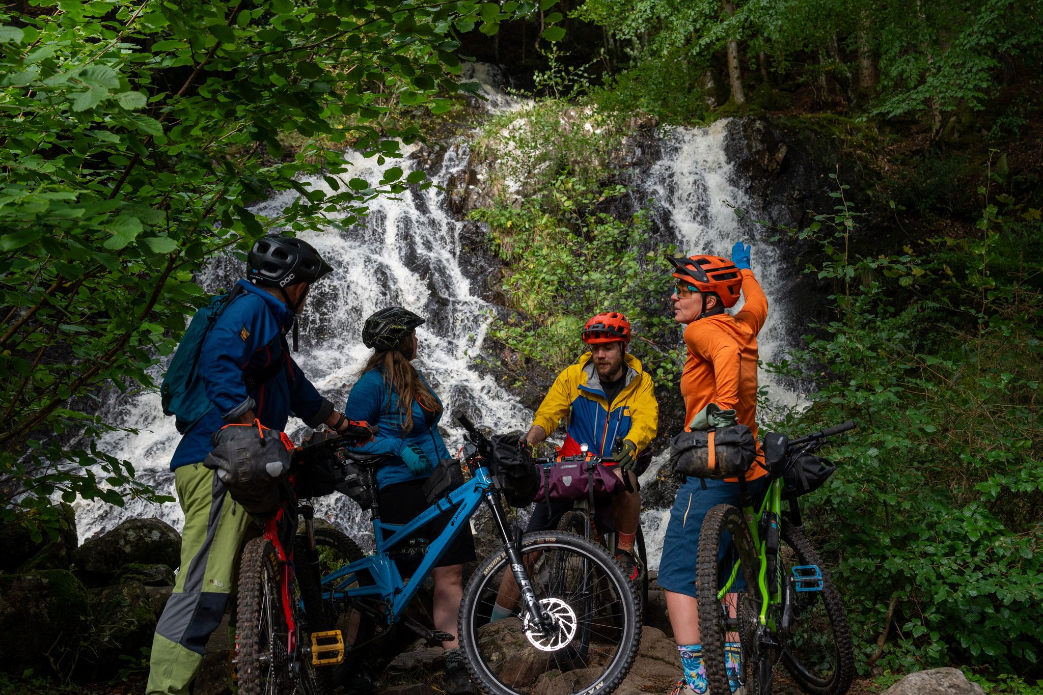
Purposeful Adventures from Comrie Croft
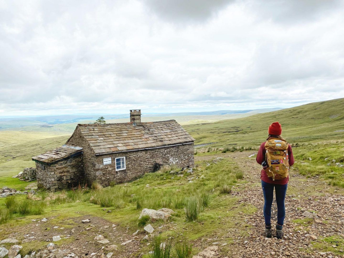
ブリテインのボーシーズ:ユニークな山のシェルターへのハイキングとサイクリングアドベンチャー
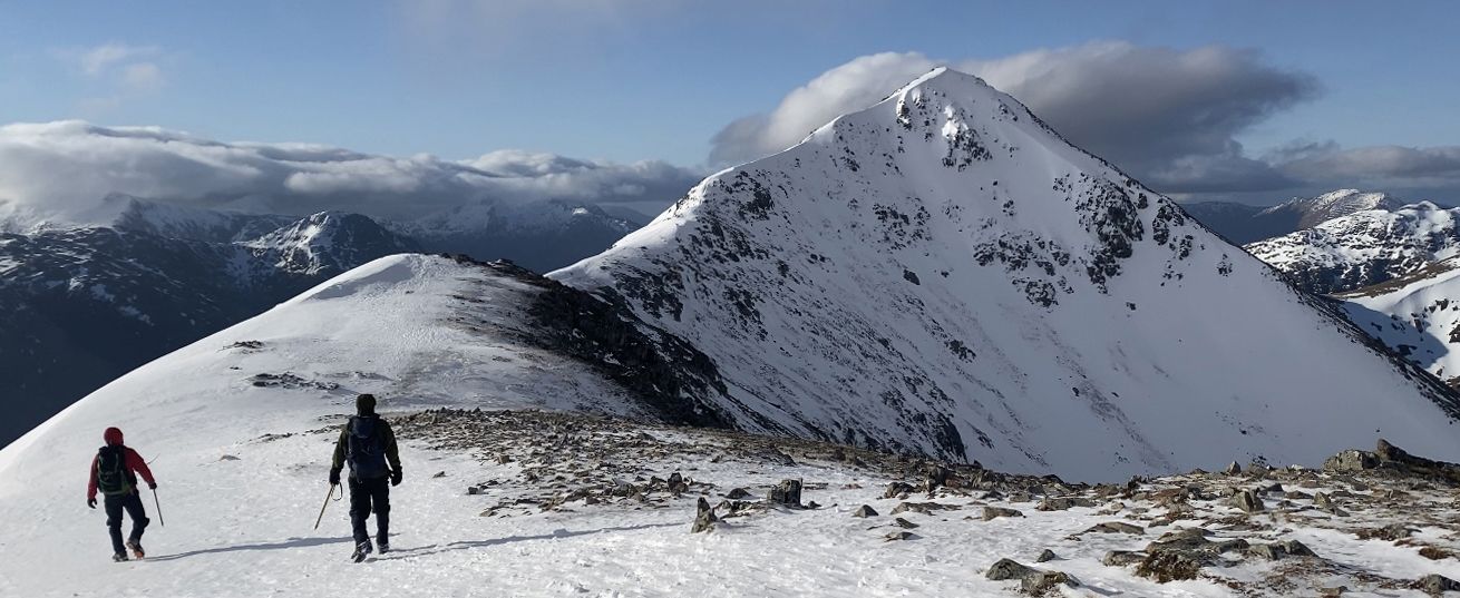
スコットランドの冬 - ロハバーの5つの卓越した山登りルート
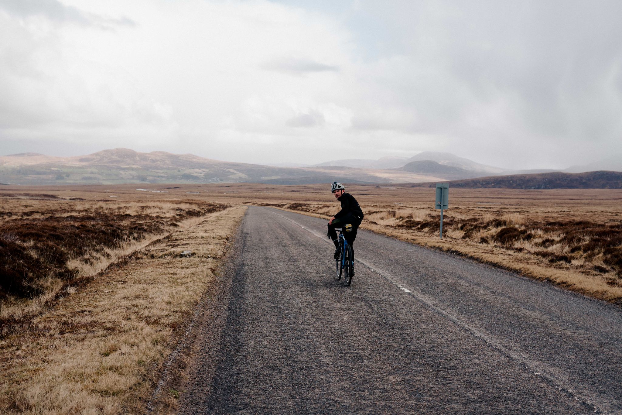
ノースコースト500 – ハイランドへの脱出
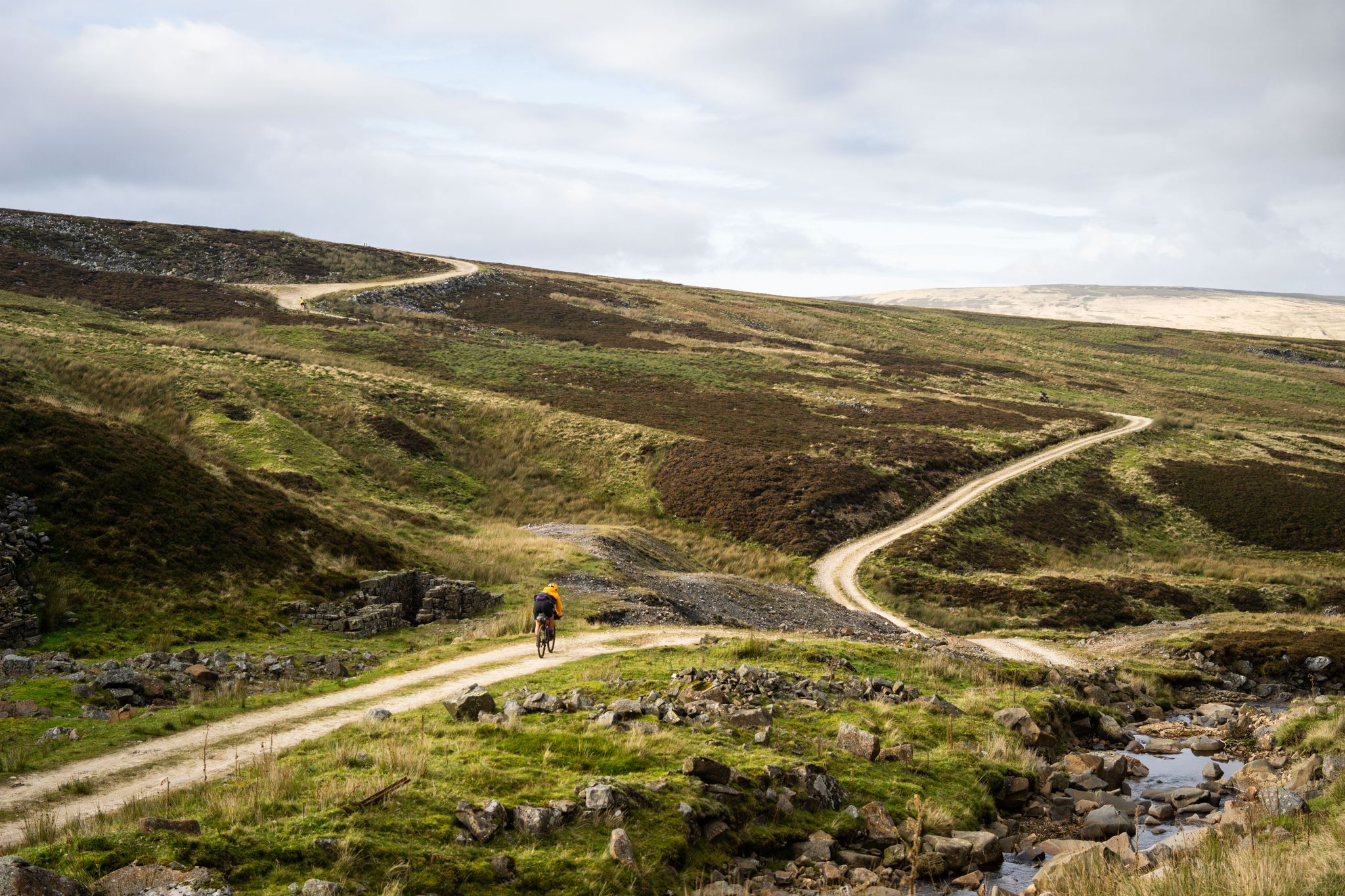
北のラフなもの — セカンドシティディバイド
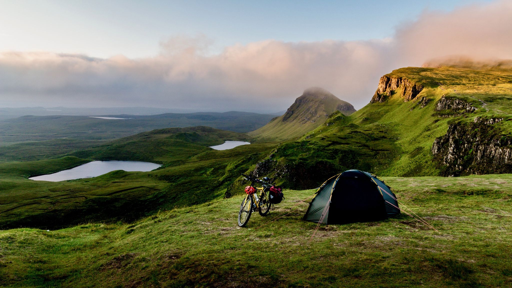
ヘブリディアンホップスコッチュ — スコットランドの妖精のいる西海岸をサイクリング
スコットランドでのの他の冒険


コミュニティからのヒント

i would really reccomend this walk but car parking can be tedious
5
0

After the peaks it's all flat terrain and definitely more busy on a dry day. Walk the way back after the last peak if you prefer the challenge of it.
0
0

The Old Man of Storr is one of the most famous and visited sights. It is a 55 meter high peak of basalt rock, the remnant of a 2.8 billion year old volcanic plug. The walk to the summit is suitable for most weather conditions, although on a wet day the path can become muddy and there is always a danger of falling rocks along the path at higher levels. The walk is approximately 3.8 kilometers long and takes an average of 1 hour and 15 minutes. It is advisable to bring suitable clothing for changes in the weather and wear sturdy footwear for the walk. Despite the site's popularity, it is still possible to enjoy the peace and quiet, especially if you visit early in the morning or late in the afternoon.
5
1
The Quiraing is a remarkable geological formation located. It is part of a mountain range and is located in the northernmost part of the Trotternish Peninsula. The Quiraing is unique in that it is still moving, meaning the road needs to be repaired every year. The area is known for its curious rock peaks formed by a series of landslides. A walk through the Quiraing is not just a hike. It is a tough 7 kilometers that alternate with up and down narrow paths with sometimes deep abysses. It is therefore not recommended to go hiking there if it rains (a lot) or there is a lot of fog. But in clear weather you can see bizarrely far. It is one of the most popular walks on the island.
2
0

Quote: It is not clear where the name "Arthur's Seat" comes from. Some see it as a reference to the legendary King Arthur. In 1912, John Milne published a book on Gaelic place names in which he derived the name from "Suidhe Ard-Thir", which in English means something like "place on high ground". However, the word order here would be odd. The historian William Maitland put forward a different theory in the 18th century. According to him, the name would be "Àrd-na-Said", "height of arrows", a variant that was later changed to "Archer's Seat" and later "Arthur's Seat". (Text source: https://www.myhighlands.de/arthurs-seat-edinburgh/ )
6
0

The Quiraing is an astonishing landslip caused by underlying sedimentary rock giving way to heavier basalt deposited as a result of ancient volcanic activity. It's an iconic and unique place to explore, one of Britain's most beguiling natural wonders. There are many incredible rock formations among the massive cliffs of Meall na Suiramach, though special mention has to go to the hugely impressive Prison, the 120-foot (37 m) pinnacle of the Needle and the green plateau of the Table.
6
1

As one of the UK's most famous and accessible Munros, it attracts countless walkers and nature lovers every year. Thanks to the high parking lot and funicular, the summit is an attainable yet challenging destination for many. Taking the funicular up to Ptarmigan Restaurant, the highest restaurant in Britain, makes the climb much easier and offers a unique way to enjoy the stunning scenery without having to walk the entire way. For the more adventurous, Fiacaill Ridge, a Grade II scramble, offers an exciting alternative to the traditional trail. The summit itself presents a panorama that is second to none. From up here you have a wonderful view over the national park, revealing the vastness and beauty of the Scottish Highlands in all their glory. The view extends over endless ranges of hills, deep valleys and the characteristic waters dotted with islands. However, the weather in the Cairngorms can be unpredictable. Warm clothing, even in summer, is a must as it can get very cold at altitude. Wind and fog can suddenly appear, which is why good preparation and carrying navigation aids such as a map and compass are essential. GPS devices provide additional security, but should not be used as the sole guide. Hikers should respect local Cairngorms National Park regulations and act environmentally consciously to preserve this unique place for future generations. Understanding and respecting nature are essential aspects when exploring this extraordinary mountain.
2
0

komootモバイルアプリでインスピレーションを得よう


探していたものは見つかりませんでしたか?
地域ごとのトップハイライトをチェックして、さらに素晴らしい自然のモニュメントを見つけましょうスコットランドでの:
