イギリスの天然記念物・トップ20
イギリスが誇る美しい風景を見てみたいなら、イギリスの素晴らしい天然記念物・トップ20
に行ってみましょう。あなたにぴったりの場所が見つかるよう、素晴らしい天然記念物を探索するために必要なすべての情報を集めました。次のアウトドアの冒険に出かける計画の参考にしましょう。
最終更新日: 7月 23, 2026
Mam Tor
ハイライト • 山頂
役立つ情報 は

ホリンズ・クロス
ハイライト • 山道
役立つ情報 は
今すぐサインアップして、こんな場所を発見しよう
最高のシングルトラック、ピーク、その他のエキサイティングなアウトドアスポットのおすすめを受け取ろう。
無料新規登録
オールドマン・オブ・ストー
ハイライト • 登山
翻訳者 Google •
役立つ情報 は

アーサーズ・シート
ハイライト • 山頂
役立つ情報 は

スノードン山頂(Yr Wyddfa)
ハイライト • 山頂
Its glory …
役立つ情報 は
キンダー・ロー三角点
ハイライト • 山頂
役立つ情報 は
コンニストンのオールドマン山頂
ハイライト • 山頂
役立つ情報 は

ベン・ネビス山頂
ハイライト • 山頂
An estimated 75,000 people ascend via the straightforward, zigzagging …
役立つ情報 は
Catbells山頂
ハイライト • 山頂
役立つ情報 は
無料アカウントで今日から始めよう
次の冒険が待っています。
ログインまたは登録
イギリス周辺で人気
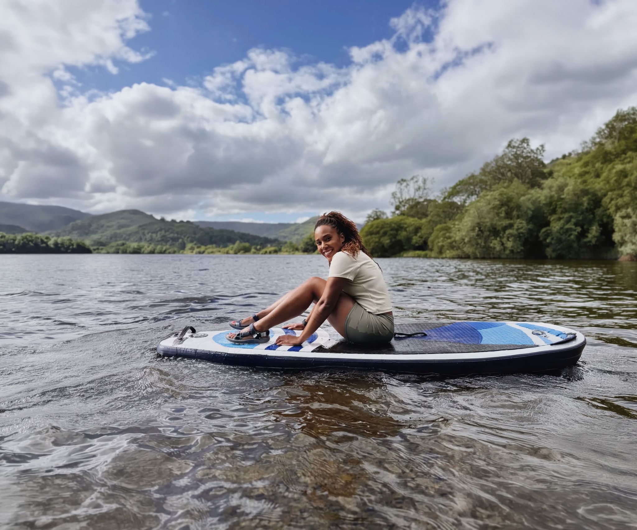
Scenic hikes to stand-up paddleboarding locations in the UK
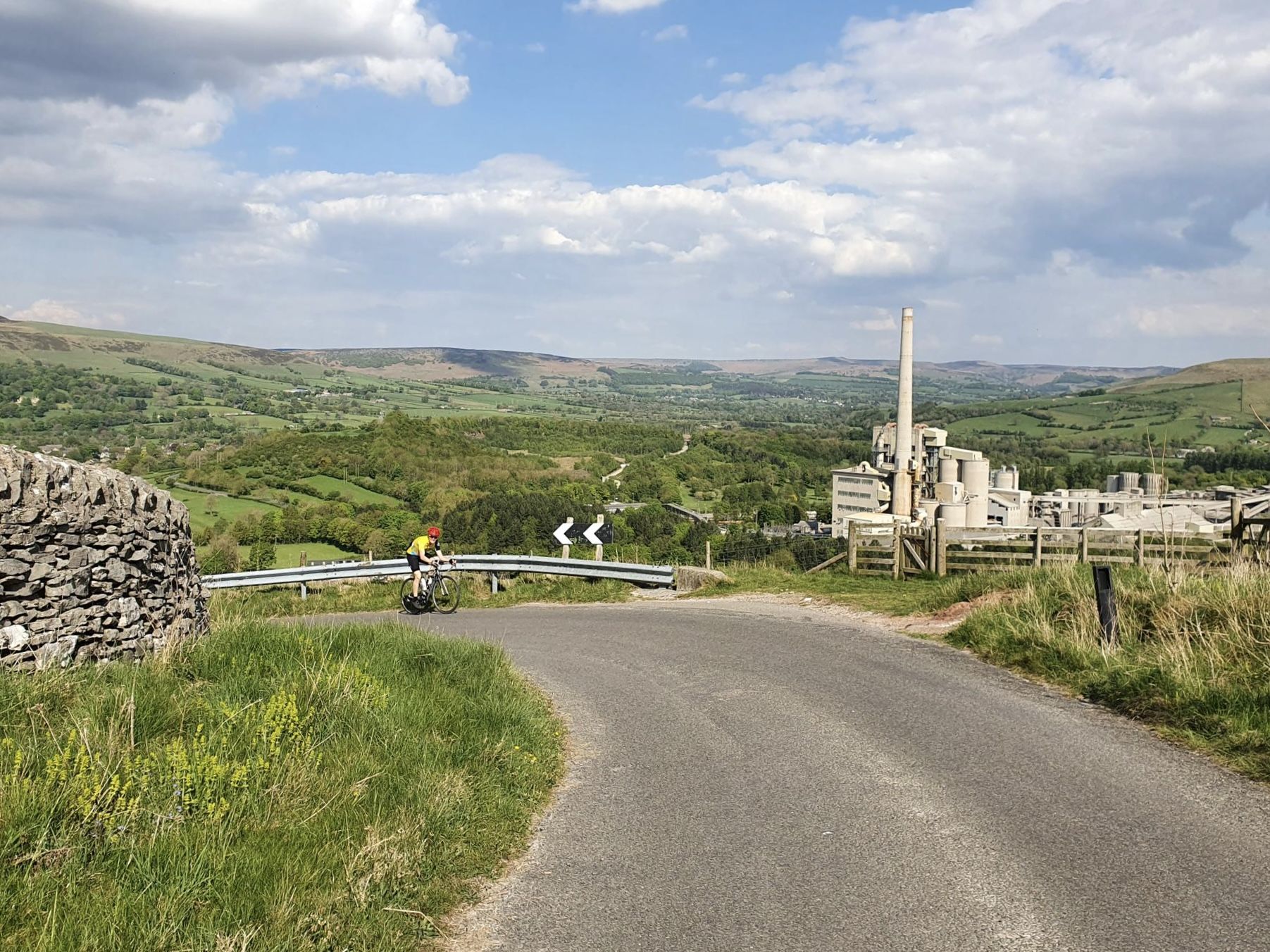
2025 Outdoor Connection イベント – エピックサイクリングループ
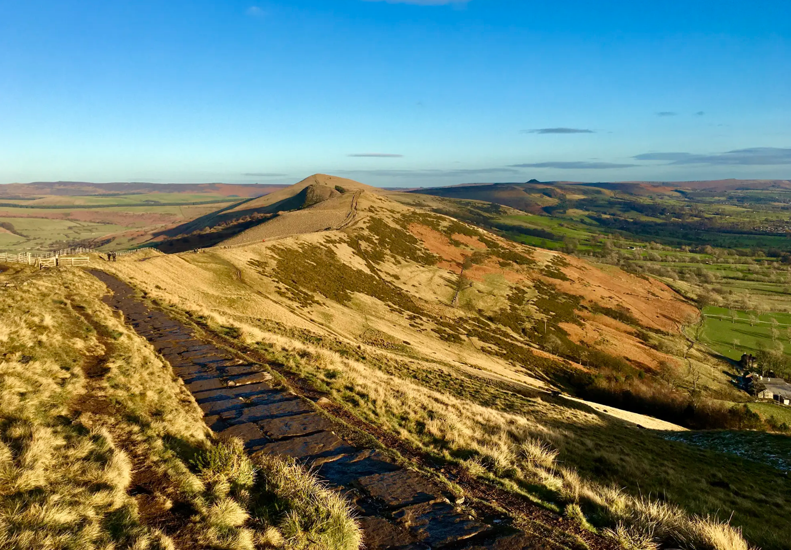
素晴らしいハイキングとランニング from the Outdoor Connection 2025 event
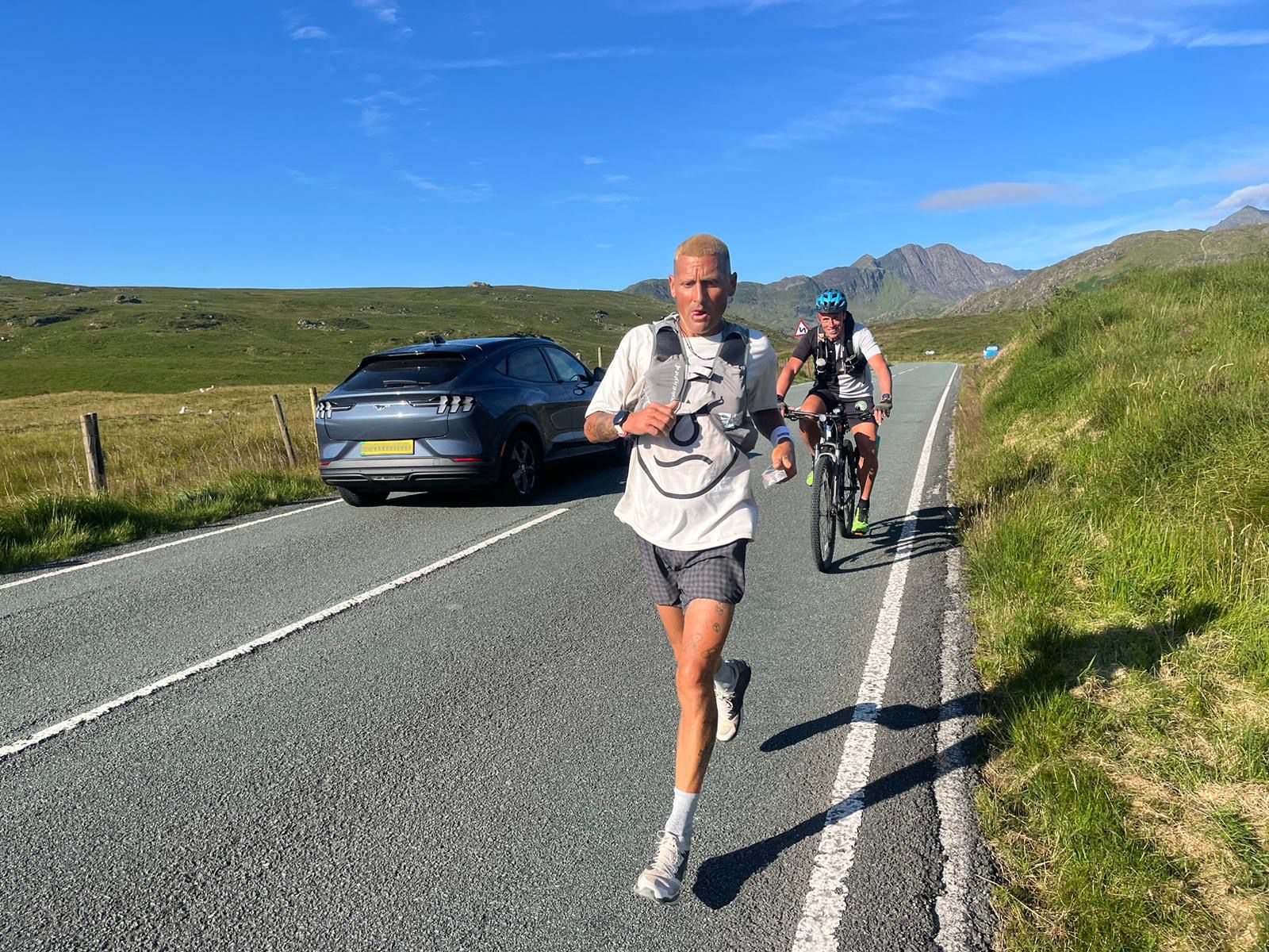
Supporting the National Three Peaks FKT in true Green Runners’ Style
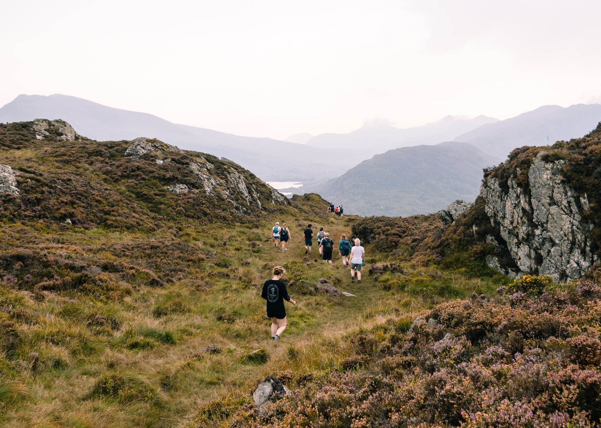
Connect with Nature – Purposeful Adventures in 2024
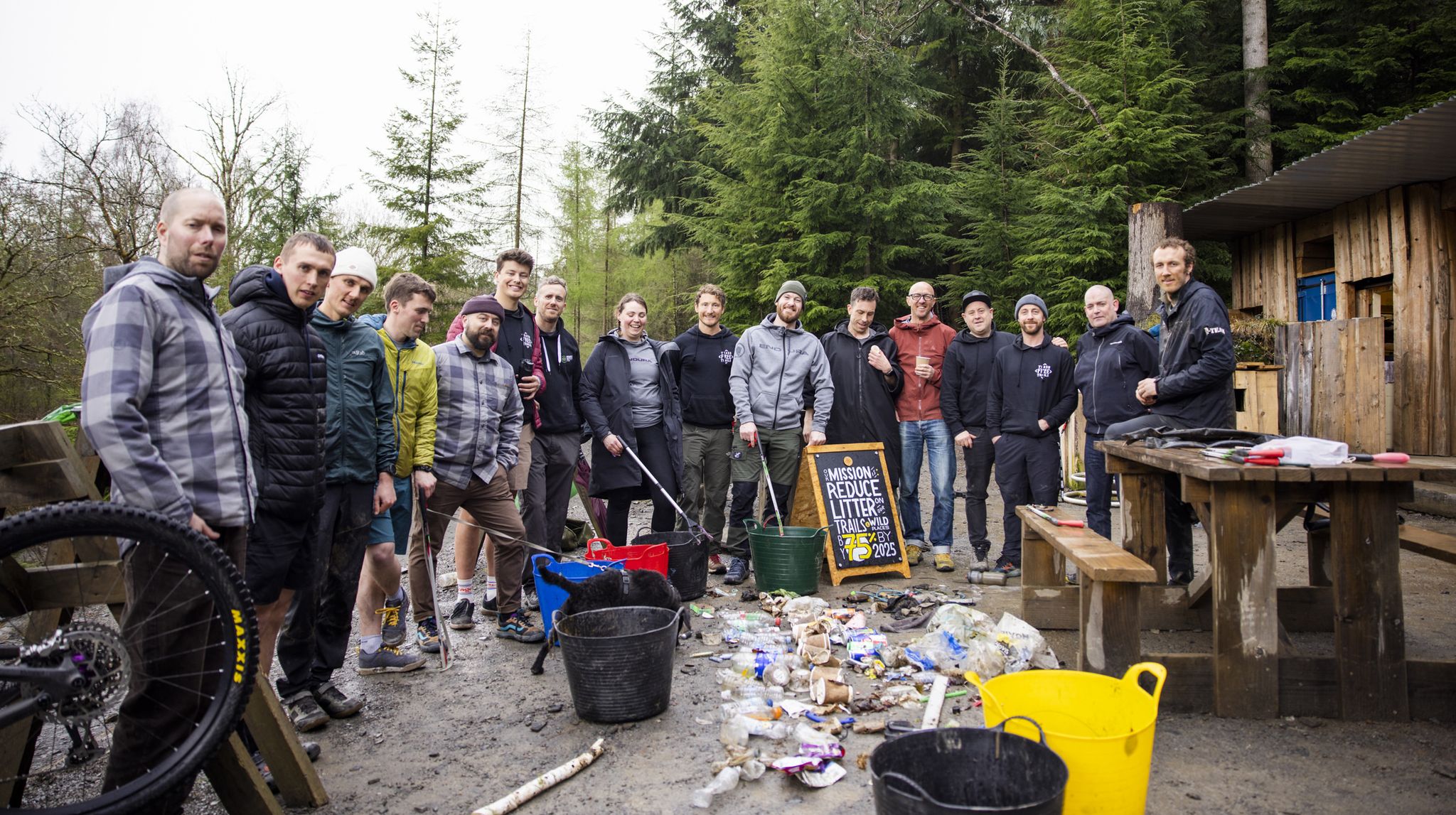
Adventures with a Purpose – our A-TEAMers’ best routes
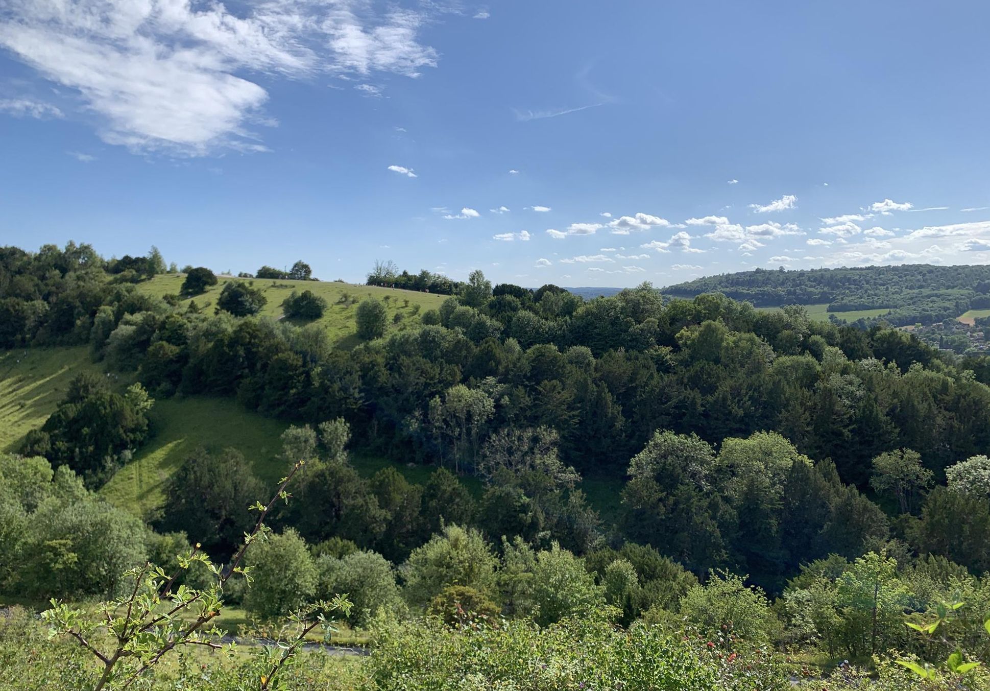
サリーヒルズのマルチユースマジック - レスヒルグリーンウェイ
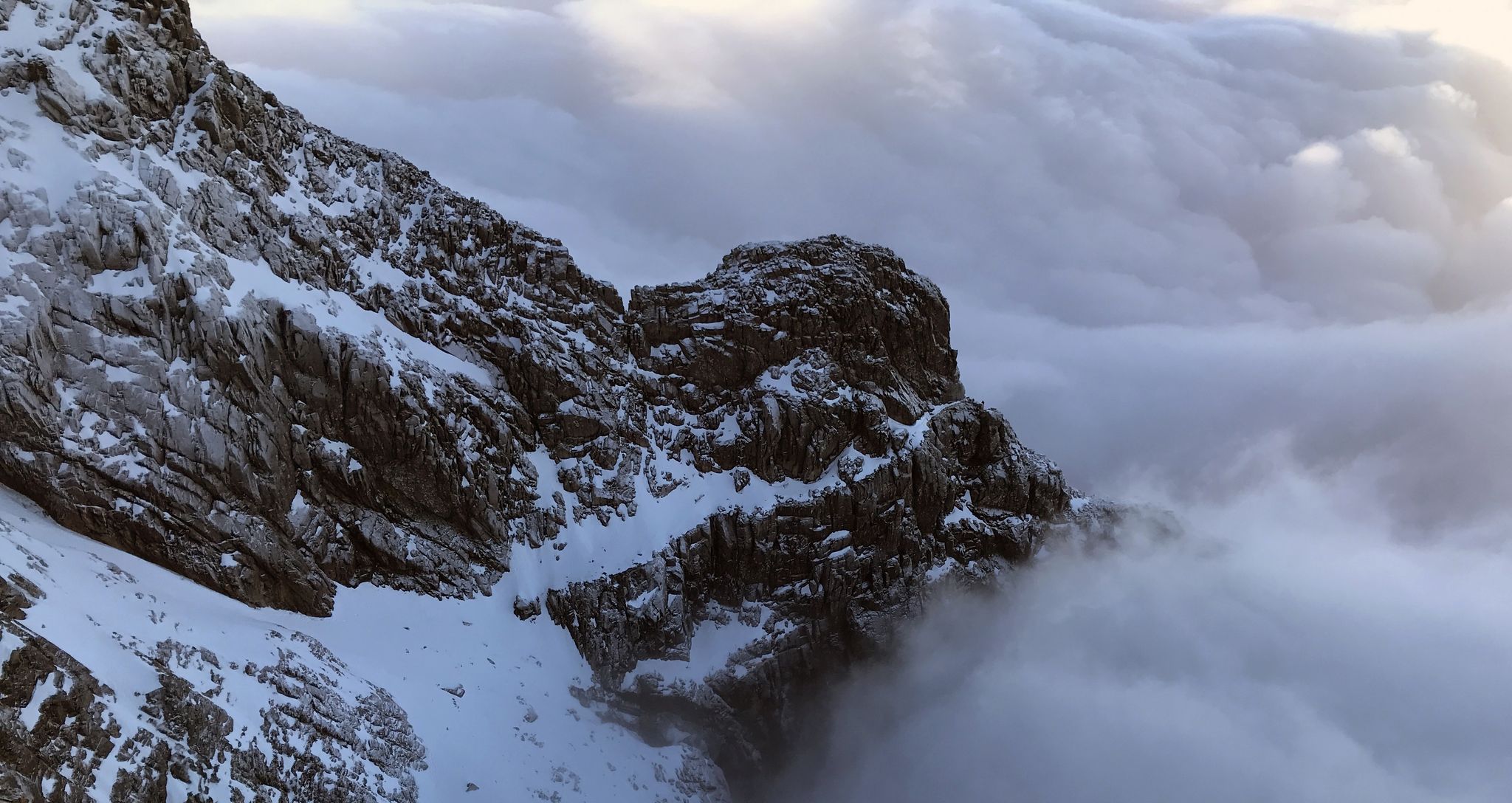
エフェメラルライン - イギリスの冬のリッジはすごい
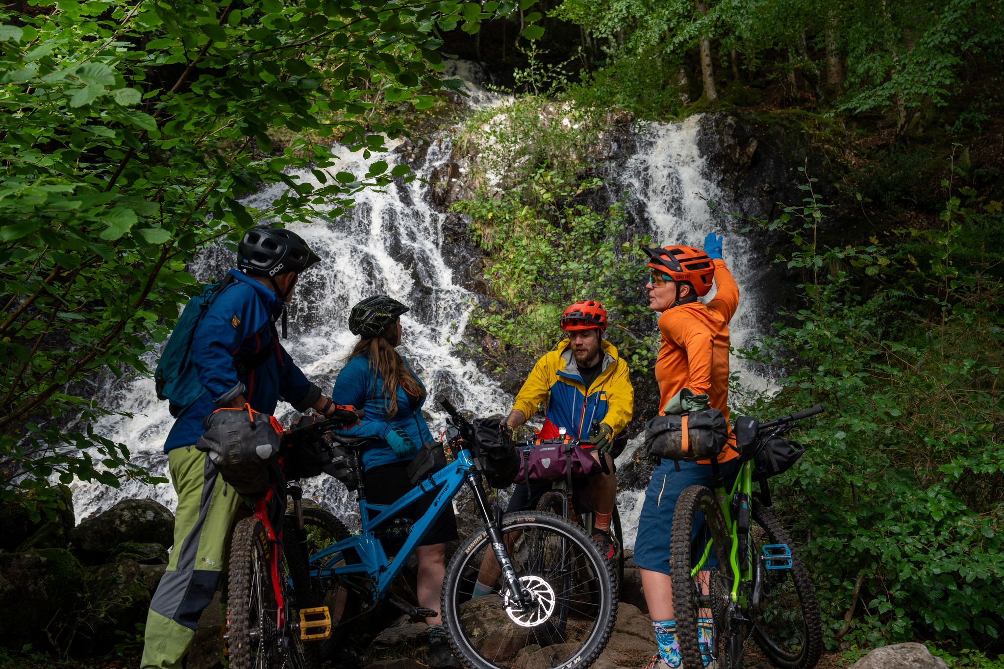
Purposeful Adventures from Comrie Croft
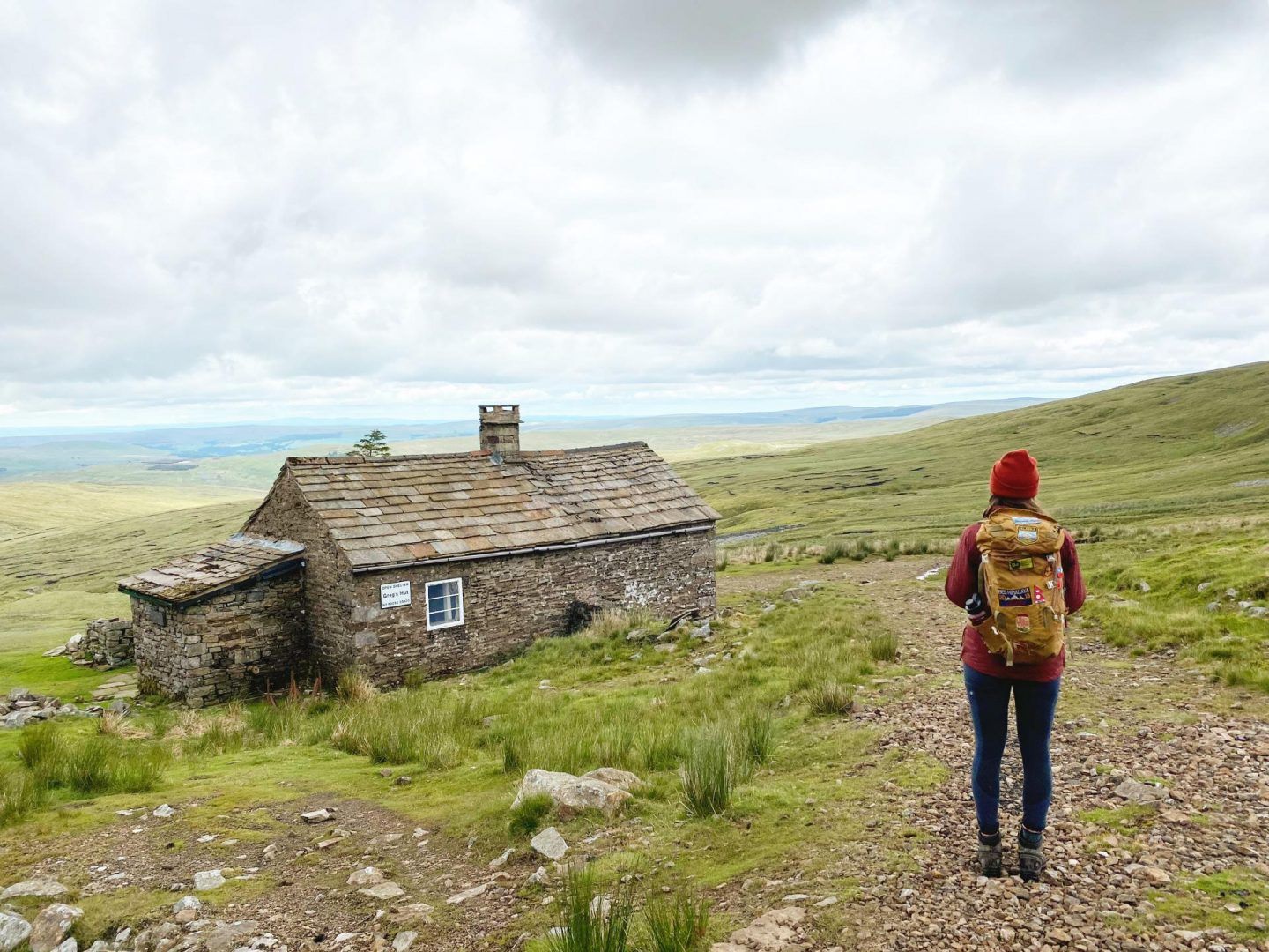
ブリテインのボーシーズ:ユニークな山のシェルターへのハイキングとサイクリングアドベンチャー
イギリスでのの他の冒険


コミュニティからのヒント

この山を説明するために、引用を以下に示します。 「採石場によって残酷に傷つけられ、損なわれたにもかかわらず、老人は威厳のある姿勢を保っており、その誇り高く敬虔な頭を空に向けて高く上げています。彼の涙は、静かにロウ・ウォーターとゴーツ・ウォーター、2つの美しい高山の湖へと流れ込み、そこから最終的に…コンイストン湖へとたどり着き、そこで彼の古い足を洗います。」 Alfred Wainwright、「The Lake District Fells Illustrated Guide, Volume Four: The Southern Fells」
5
0


The Old Man of Storr is one of the most famous and visited sights. It is a 55 meter high peak of basalt rock, the remnant of a 2.8 billion year old volcanic plug. The walk to the summit is suitable for most weather conditions, although on a wet day the path can become muddy and there is always a danger of falling rocks along the path at higher levels. The walk is approximately 3.8 kilometers long and takes an average of 1 hour and 15 minutes. It is advisable to bring suitable clothing for changes in the weather and wear sturdy footwear for the walk. Despite the site's popularity, it is still possible to enjoy the peace and quiet, especially if you visit early in the morning or late in the afternoon.
5
1
The Quiraing is a remarkable geological formation located. It is part of a mountain range and is located in the northernmost part of the Trotternish Peninsula. The Quiraing is unique in that it is still moving, meaning the road needs to be repaired every year. The area is known for its curious rock peaks formed by a series of landslides. A walk through the Quiraing is not just a hike. It is a tough 7 kilometers that alternate with up and down narrow paths with sometimes deep abysses. It is therefore not recommended to go hiking there if it rains (a lot) or there is a lot of fog. But in clear weather you can see bizarrely far. It is one of the most popular walks on the island.
2
0
The name "Snowdon" is first recorded in 1095 as Snawdune, and is derived from the Old English elements snaw and dun, meaning "hill of snow". The Welsh name for the mountain, Yr Wyddfa, is first recorded in Latin as Weddua vaur in 1284. This is probably an approximation of Pen y Wyddfa Fawr. The element gwyddfa in this context means "height, promontory", and also occurs in the Welsh name for the town of Mold, Yr Wyddgrug. Gwyddfa later developed the meaning "gravestone heap", and there is a legend that the giant Rhita is buried beneath the cairn on the summit of the mountain. According to one legend, the giant Rhita was slain and buried on the mountain by King Arthur, while another legend suggests that Rhita was killed by the giant Idris who lived on the mountain Cadair Idris. The mountain is also associated with other figures from Arthurian legend, a legendary Afanc (water monster) and the Tylwyth Teg (fairies). (Wikipedia)
12
1

The Quiraing is an astonishing landslip caused by underlying sedimentary rock giving way to heavier basalt deposited as a result of ancient volcanic activity. It's an iconic and unique place to explore, one of Britain's most beguiling natural wonders. There are many incredible rock formations among the massive cliffs of Meall na Suiramach, though special mention has to go to the hugely impressive Prison, the 120-foot (37 m) pinnacle of the Needle and the green plateau of the Table.
6
1

This remote path winds through a mountain range in the northernmost part of Skye, revealing spectacular views at every step that will make any nature and hiking lover's heart beat faster. Many visitors just stop for a quick photo without exploring the true splendor of the Quiraing. But anyone who takes the time to delve deeper into this landscape and hike one of the recommended routes will be rewarded with an experience that will be remembered. The path itself, which winds smoothly and invitingly along the slopes, invites you to enjoy hours of hiking, surrounded by a wildness that seems almost unreal. In high season the Quiraing might hardly be described as lonely, but in the early morning hours or late afternoon, when the crowds have cleared out, you can fully enjoy the silence and majestic beauty of this place. The dimensions of the landscape make you feel your own smallness and at the same time offer a magnificent view that is impressive in its vastness and wildness. Even in bad weather, which is never far away in Scotland, the Quiraing loses none of its fascination. Rain, wind and sun alternate, bathing the landscape in an ever-changing light that guarantees dramatic and unforgettable views. The trail can be challenging in places, with steep climbs and slippery descents, but with the right equipment and some experience it is manageable.
2
0
Ben Nevis is Britain's highest mountain and arguably its greatest from a mountaineering perspective too. This is mostly down to its immense North Face, a treasure trove of ridges, buttresses and gullies that climbers have been testing themselves on for generations. Leaving the summit in poor visibility during winter poses significant dangers due to the cornices that form on the Ben's gullies. The safest way off is to walk on a bearing of 231 degrees for 492 feet (150 m) from the summit trig point. Then, walk on a bearing of 282 degrees to intercept the zig zags of the Pony Track.
1
0

komootモバイルアプリでインスピレーションを得よう


さらに探索
これらのガイドで、最高の洞窟を探す範囲を広げましょうイギリスでの:
