スコットランド周辺のアトラクション&必見スポット - トップ20
スコットランドには必見のスポットがたくさんあります。ハイキング愛好家やサイクリング愛好家の方は、ぜひスコットランドを探索してこのエリアにある20
の隠れたスポットを訪れてみてください。このエリアの必見スポットを確認し、次の冒険に出かける計画を立てましょう。
最終更新日: 9月 12, 2026
オールドマン・オブ・ストー
ハイライト • 登山
翻訳者 Google •
役立つ情報 は

アーサーズ・シート
ハイライト • 山頂
役立つ情報 は

今すぐサインアップして、こんな場所を発見しよう
最高のシングルトラック、ピーク、その他のエキサイティングなアウトドアスポットのおすすめを受け取ろう。
ベン・ネビス山頂
ハイライト • 山頂
An estimated 75,000 people ascend via the straightforward, zigzagging …
役立つ情報 は
クイラング
ハイライト • 自然記念物
役立つ情報 は
コニック・ヒルから望むロッホ・ローモンドの眺め
ハイライト • 展望台
Sometimes it can …
翻訳者 Google •
役立つ情報 は

ベン・ローモンド山頂
ハイライト • 山頂
役立つ情報 は

ケアン・ゴーム山頂
ハイライト • 山頂
役立つ情報 は
グレンフィナン高架橋
ハイライト • 橋
役立つ情報 は

オールド・マン・オブ・ストールの眺め
ハイライト • 展望台
役立つ情報 は

オールドマン・オブ・ストーの眺め
ハイライト • 展望台
役立つ情報 は

無料でサインアップして、さらに多くの観光スポットを発見しましょう スコットランドでの。
すでにアカウントをお持ちですか?
無料アカウントで今日から始めよう
次の冒険が待っています。
スコットランド周辺で人気
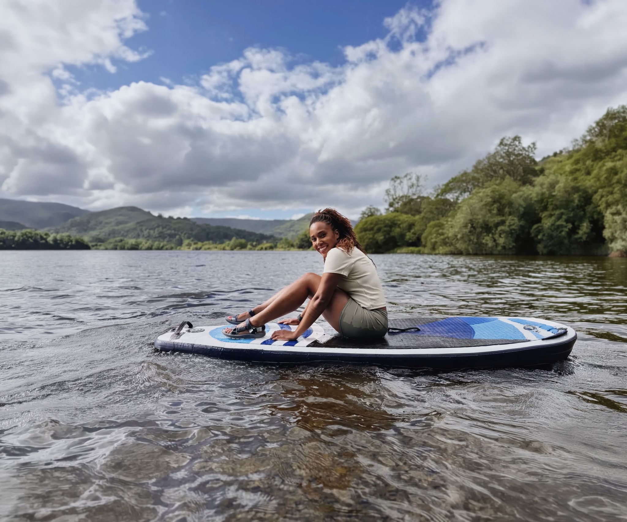
Scenic hikes to stand-up paddleboarding locations in the UK
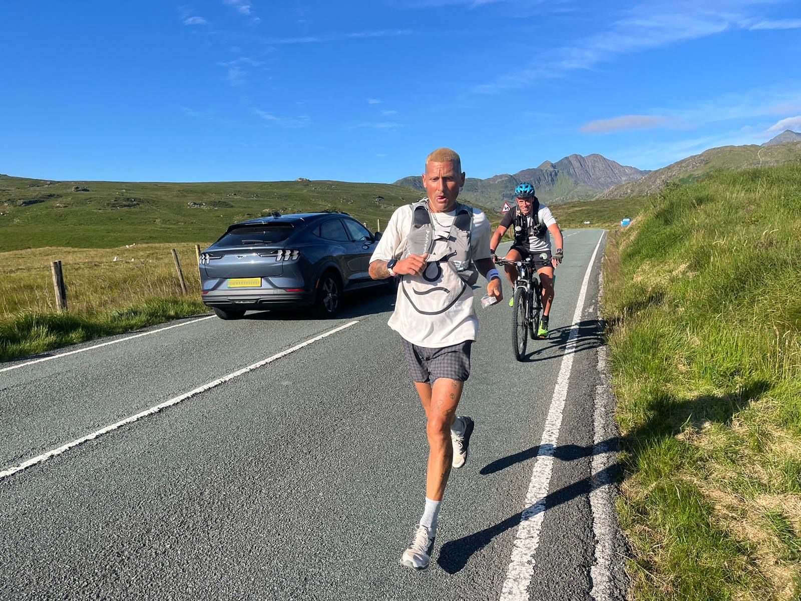
Supporting the National Three Peaks FKT in true Green Runners’ Style
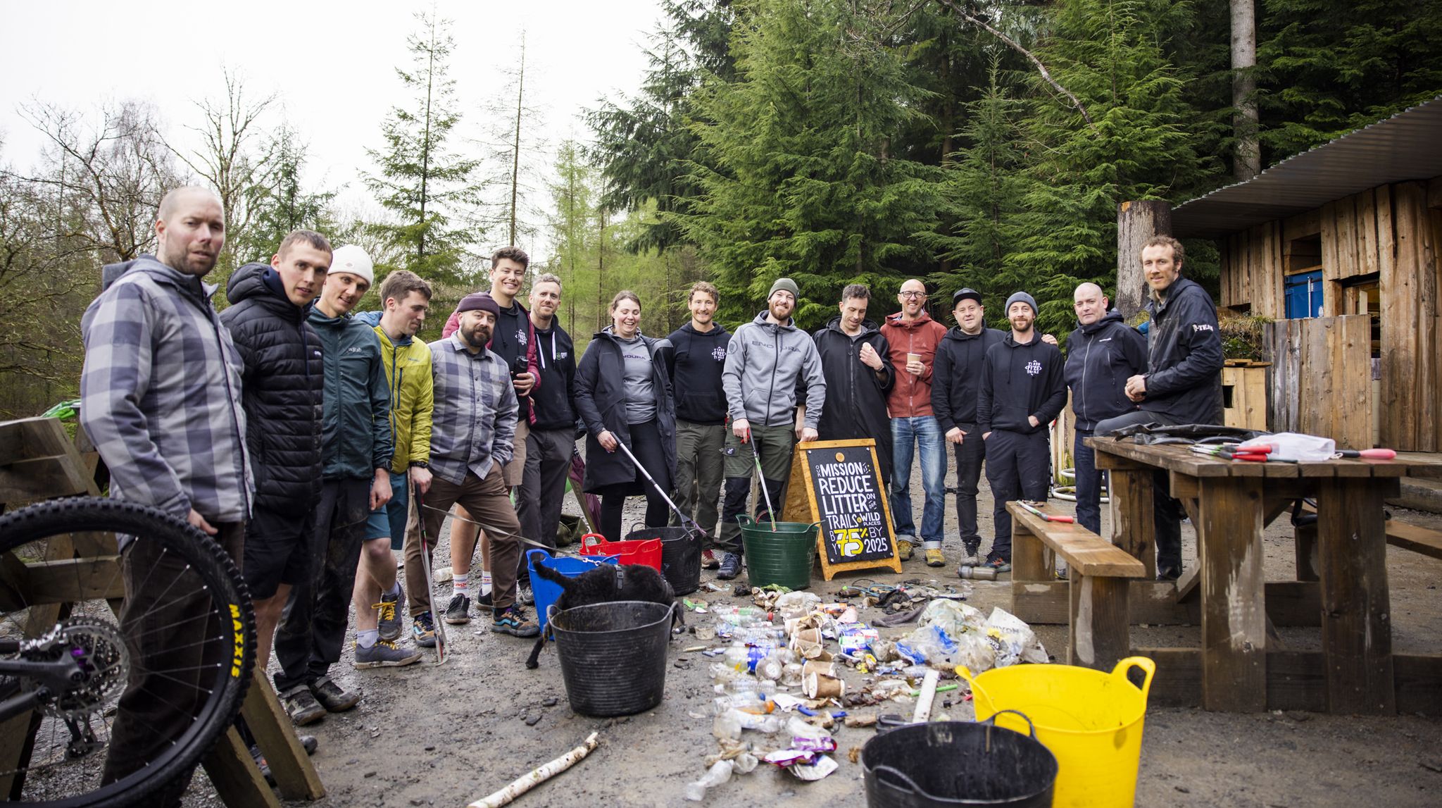
Adventures with a Purpose – our A-TEAMers’ best routes
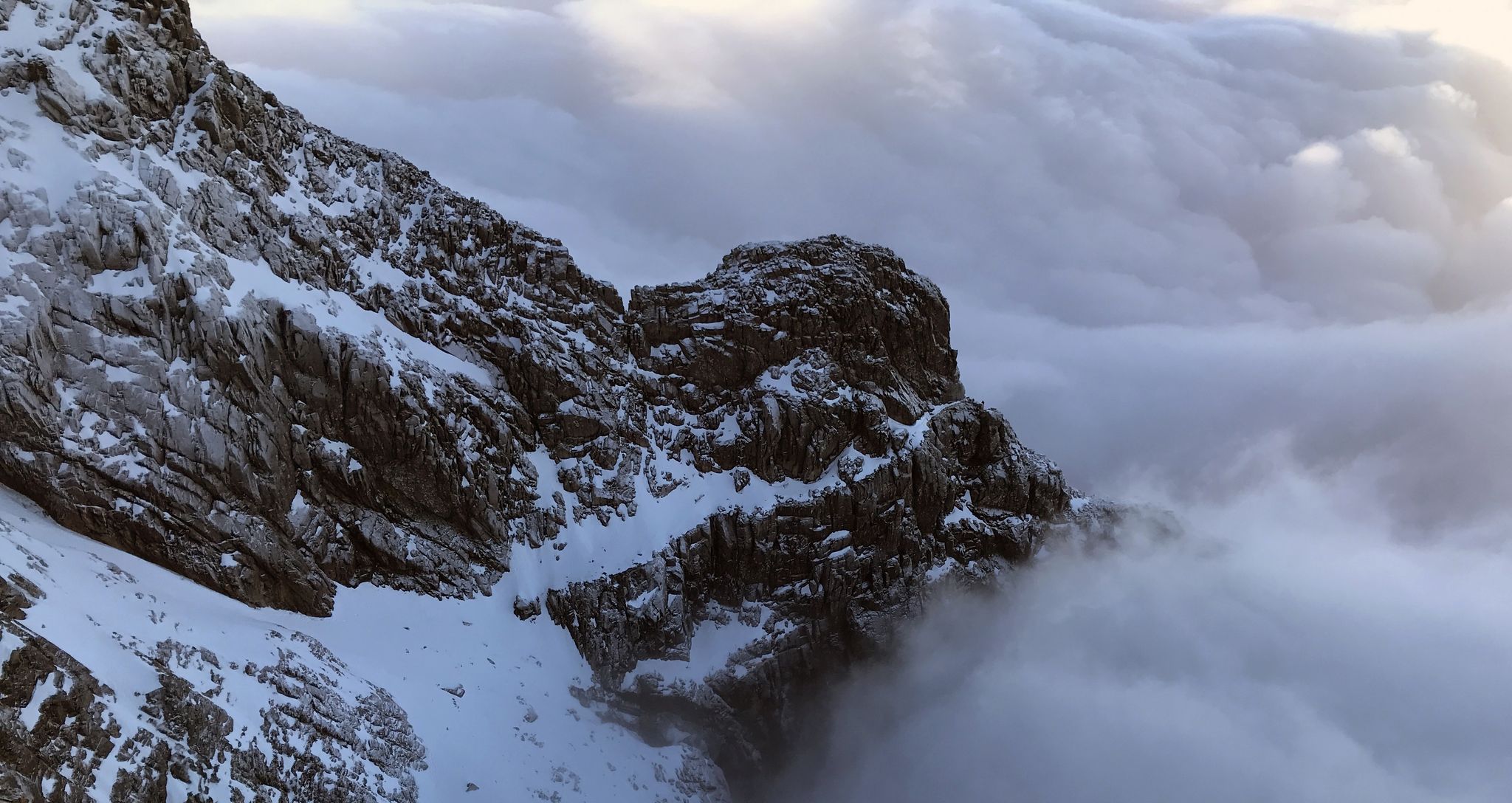
エフェメラルライン - イギリスの冬のリッジはすごい
Purposeful Adventures from Comrie Croft
ブリテインのボーシーズ:ユニークな山のシェルターへのハイキングとサイクリングアドベンチャー
スコットランドの冬 - ロハバーの5つの卓越した山登りルート
ノースコースト500 – ハイランドへの脱出
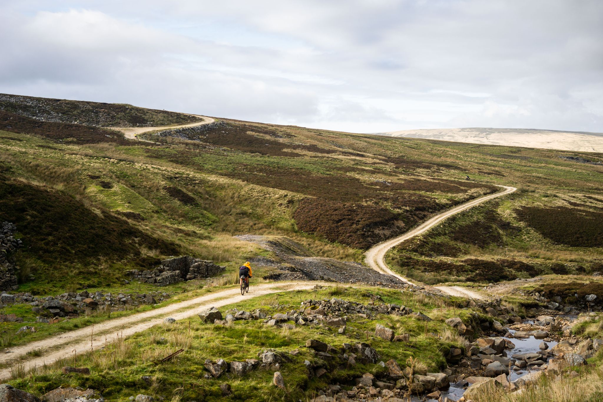
北のラフなもの — セカンドシティディバイド
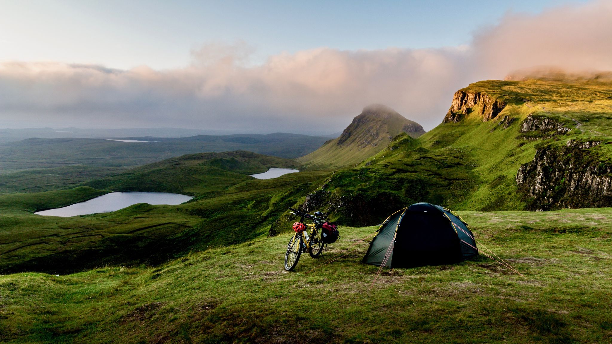
ヘブリディアンホップスコッチュ — スコットランドの妖精のいる西海岸をサイクリング
スコットランドでのの他の冒険


コミュニティからのヒント

i would really reccomend this walk but car parking can be tedious
5
0

The Old Man of Storr is one of the most famous and visited sights. It is a 55 meter high peak of basalt rock, the remnant of a 2.8 billion year old volcanic plug. The walk to the summit is suitable for most weather conditions, although on a wet day the path can become muddy and there is always a danger of falling rocks along the path at higher levels. The walk is approximately 3.8 kilometers long and takes an average of 1 hour and 15 minutes. It is advisable to bring suitable clothing for changes in the weather and wear sturdy footwear for the walk. Despite the site's popularity, it is still possible to enjoy the peace and quiet, especially if you visit early in the morning or late in the afternoon.
5
1
The Quiraing is a remarkable geological formation located. It is part of a mountain range and is located in the northernmost part of the Trotternish Peninsula. The Quiraing is unique in that it is still moving, meaning the road needs to be repaired every year. The area is known for its curious rock peaks formed by a series of landslides. A walk through the Quiraing is not just a hike. It is a tough 7 kilometers that alternate with up and down narrow paths with sometimes deep abysses. It is therefore not recommended to go hiking there if it rains (a lot) or there is a lot of fog. But in clear weather you can see bizarrely far. It is one of the most popular walks on the island.
2
0

The Quiraing is an astonishing landslip caused by underlying sedimentary rock giving way to heavier basalt deposited as a result of ancient volcanic activity. It's an iconic and unique place to explore, one of Britain's most beguiling natural wonders. There are many incredible rock formations among the massive cliffs of Meall na Suiramach, though special mention has to go to the hugely impressive Prison, the 120-foot (37 m) pinnacle of the Needle and the green plateau of the Table.
6
1

As one of the UK's most famous and accessible Munros, it attracts countless walkers and nature lovers every year. Thanks to the high parking lot and funicular, the summit is an attainable yet challenging destination for many. Taking the funicular up to Ptarmigan Restaurant, the highest restaurant in Britain, makes the climb much easier and offers a unique way to enjoy the stunning scenery without having to walk the entire way. For the more adventurous, Fiacaill Ridge, a Grade II scramble, offers an exciting alternative to the traditional trail. The summit itself presents a panorama that is second to none. From up here you have a wonderful view over the national park, revealing the vastness and beauty of the Scottish Highlands in all their glory. The view extends over endless ranges of hills, deep valleys and the characteristic waters dotted with islands. However, the weather in the Cairngorms can be unpredictable. Warm clothing, even in summer, is a must as it can get very cold at altitude. Wind and fog can suddenly appear, which is why good preparation and carrying navigation aids such as a map and compass are essential. GPS devices provide additional security, but should not be used as the sole guide. Hikers should respect local Cairngorms National Park regulations and act environmentally consciously to preserve this unique place for future generations. Understanding and respecting nature are essential aspects when exploring this extraordinary mountain.
2
0
At 974 meters high, it offers breathtaking views over Loch Lomond and the Scottish Highlands from its summit, which serves as a reward for the climb. The walk begins in Rowardennan, an idyllic spot on the east bank of Loch Lomond. From here there are two main routes to the summit: the more direct and popular route, suitable for beginners and experienced hikers alike, and the slightly more demanding Ptarmigan Ridge, recommended for those seeking a greater challenge. Both trails offer unique perspectives of the mountain and its surroundings, and the ability to combine both for a circular hike makes the experience even more worthwhile. Despite its popularity - over 30,000 people attempt the climb each year - Ben Lomond retains a wild beauty so treasured by the Scottish mountains. The views from the summit are scenically breathtaking, with a panorama taking in the loch islands and the vast Highlands. On a clear day the view can sweep far over the surrounding countryside, and the contrast between the calm waters of the loch and the rugged peaks of the Highlands is a sight unlike any other. While the walk is popular, it is important to note the local regulations of Loch Lomond and The Trossachs National Park and prepare accordingly. Good footwear, sufficient water and provisions as well as protective clothing against changeable weather are essential. Respect for nature and the responsibility to leave no trace help ensure that Ben Lomond remains an unforgettable hiking destination for future generations.
3
0
This remote path winds through a mountain range in the northernmost part of Skye, revealing spectacular views at every step that will make any nature and hiking lover's heart beat faster. Many visitors just stop for a quick photo without exploring the true splendor of the Quiraing. But anyone who takes the time to delve deeper into this landscape and hike one of the recommended routes will be rewarded with an experience that will be remembered. The path itself, which winds smoothly and invitingly along the slopes, invites you to enjoy hours of hiking, surrounded by a wildness that seems almost unreal. In high season the Quiraing might hardly be described as lonely, but in the early morning hours or late afternoon, when the crowds have cleared out, you can fully enjoy the silence and majestic beauty of this place. The dimensions of the landscape make you feel your own smallness and at the same time offer a magnificent view that is impressive in its vastness and wildness. Even in bad weather, which is never far away in Scotland, the Quiraing loses none of its fascination. Rain, wind and sun alternate, bathing the landscape in an ever-changing light that guarantees dramatic and unforgettable views. The trail can be challenging in places, with steep climbs and slippery descents, but with the right equipment and some experience it is manageable.
2
0

komootモバイルアプリでインスピレーションを得よう


探していたものは見つかりませんでしたか?
近くの素晴らしい場所をもっと探索したいですか?ガイドを見てみましょう:
