シャルケンメーレンでののおすすめグラベルライド
4.5
(30)
127
ライダー
14
ライド
komootがまとめたシャルケンメーレンでののおすすめグラベルライドを参考にして、グラベルライドの魅力を最大限に楽しみましょう。難易度の高い登り坂や絶景のトレイルなど、あらゆるルートの中から厳選したシャルケンメーレンでののグラベルライドをご覧ください。
最終更新日: 11月 17, 2026
4.5
(4)
36
ライダー
43.1km
03:14
750m
750m
難しいグラベルライド. 標準以上のフィットネスレベルが必要です。 ツアーの一部で自転車を押して歩く必要があるかもしれません。
3.8
(4)
13
ライダー
24.2km
01:52
450m
450m
難しいグラベルライド. 標準以上のフィットネスレベルが必要です。 ほとんどが舗装路です。

5.0
(4)
34
ライダー
49.8km
03:03
680m
680m
難しいグラベルライド. 標準以上のフィットネスレベルが必要です。 ほとんどが舗装路です。
4.3
(9)
16
ライダー
40.1km
02:40
560m
560m
難しいグラベルライド. 標準以上のフィットネスレベルが必要です。 ツアーの一部で自転車を押して歩く必要があるかもしれません。
5.0
(2)
8
ライダー
62.2km
03:57
960m
960m
難しいグラベルライド. 標準以上のフィットネスレベルが必要です。 ツアーの一部で自転車を押して歩く必要があるかもしれません。
さらに多くのルートや他のユーザーのおすすめ情報を確認できます。
すでにアカウントをお持ちですか?
おすすめのツアーは他のkomootユーザーが実際に経験した何千ものアクティビティに基づいています。
無料アカウントで今日から始めよう
次の冒険が待っています。
シャルケンメーレン周辺で人気
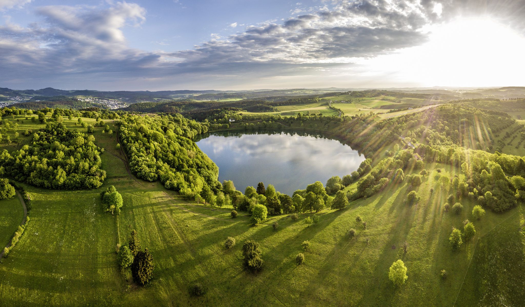
Germany’s Most Beautiful Hiking Trails in the Vulkaneifel
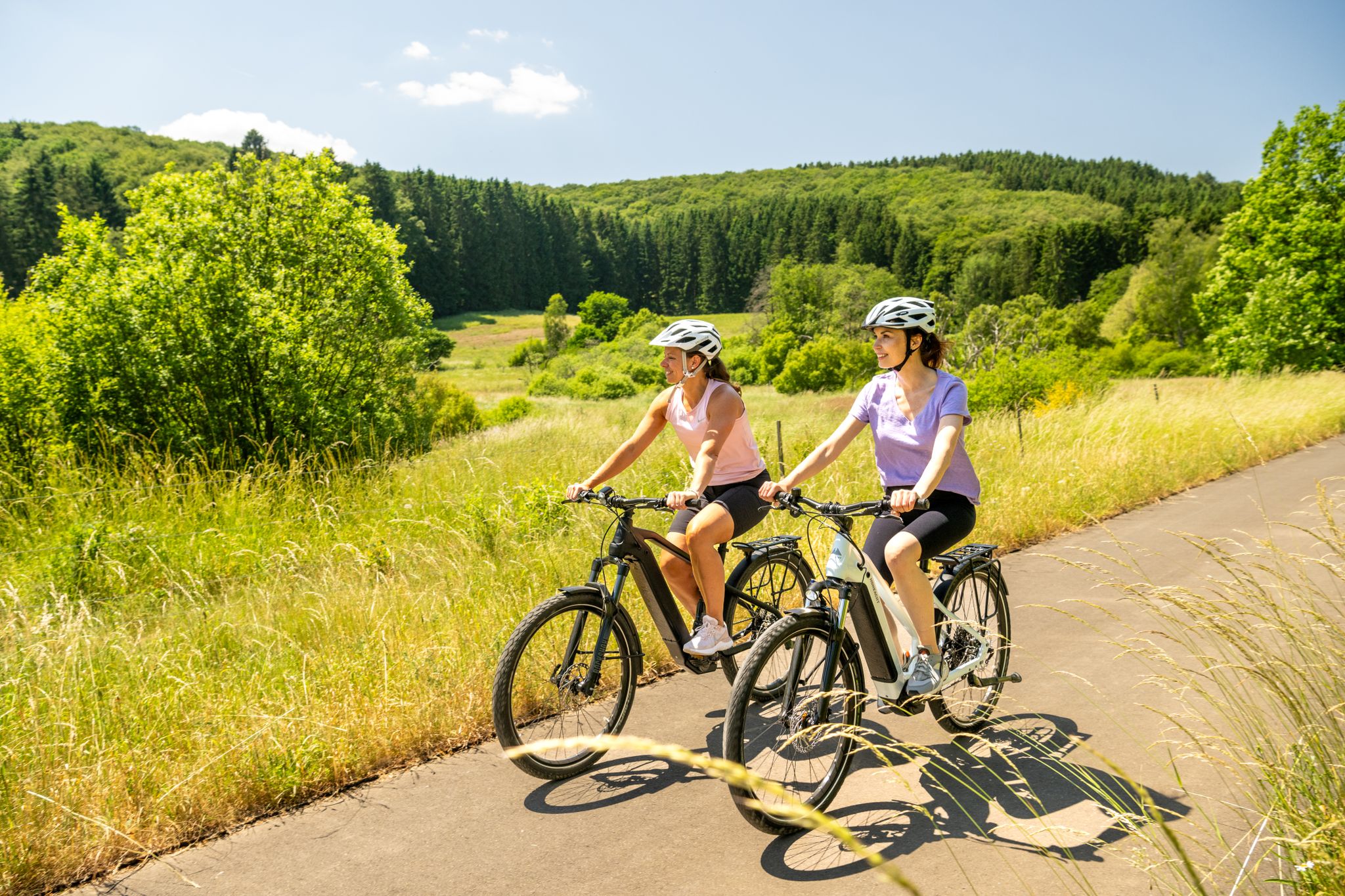
E-biking through the Volcanic Eifel
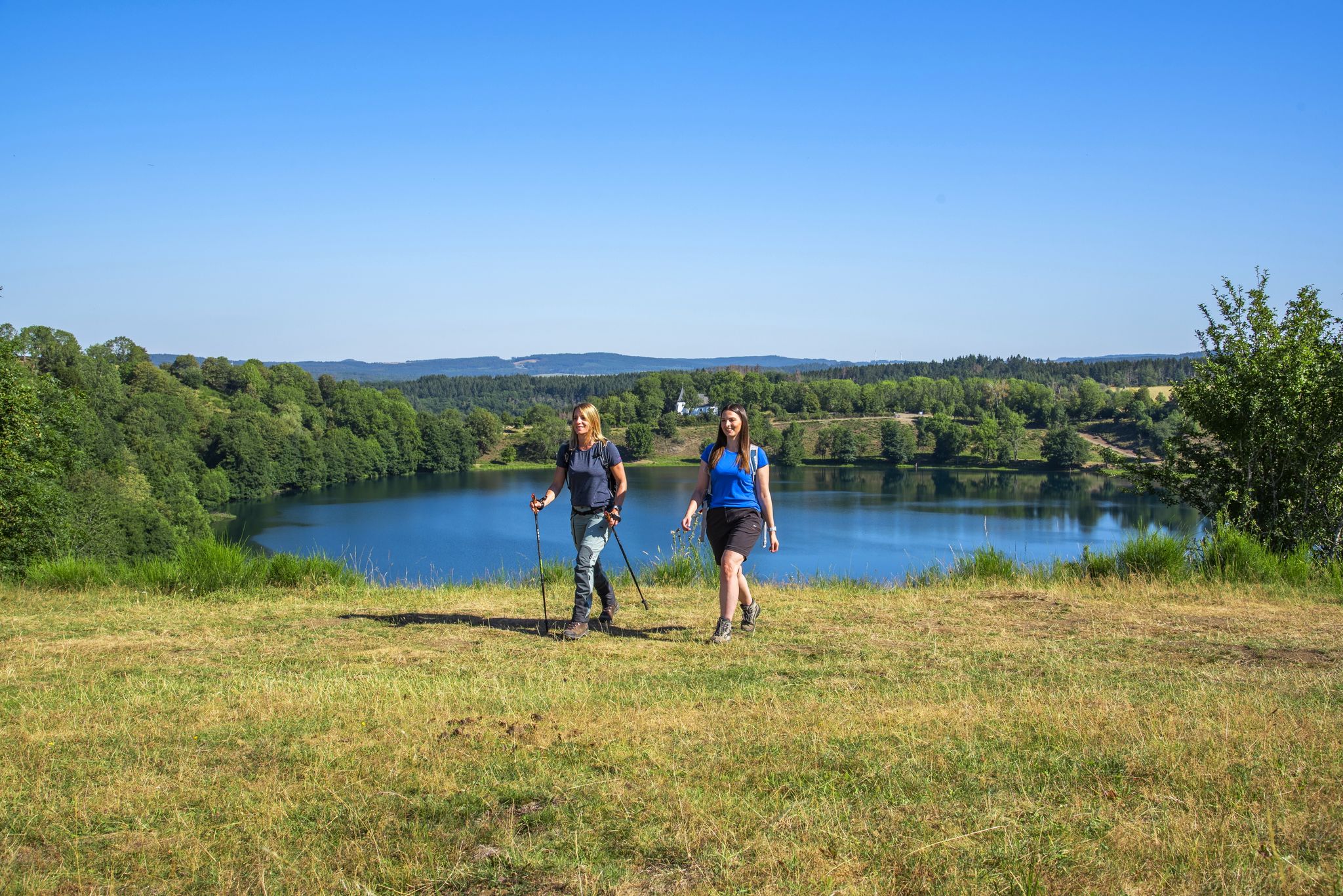
Excellent paths in the Vulkaneifel – Explore the HeimatSpuren
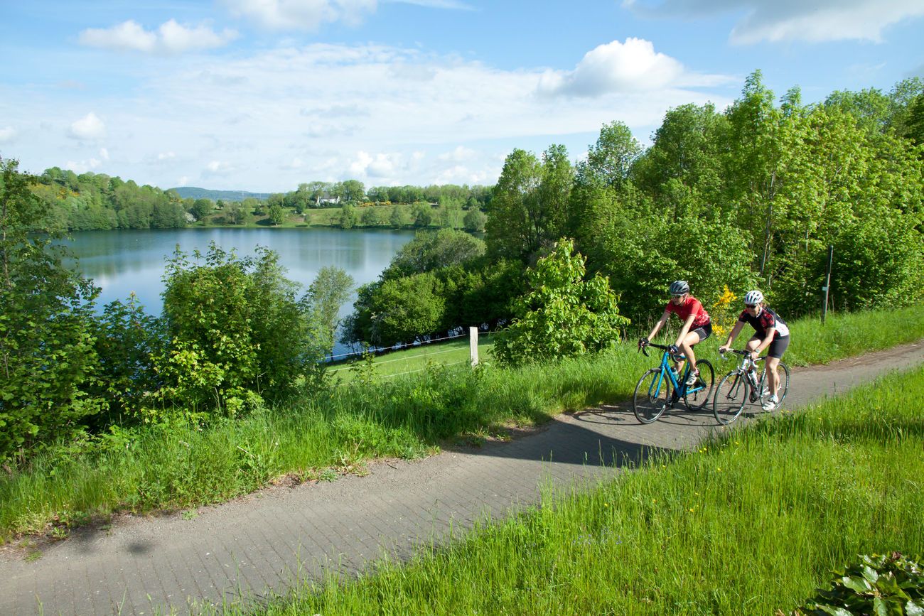
カンピングカーとレースバイクでドイツをツアーで発見してください。
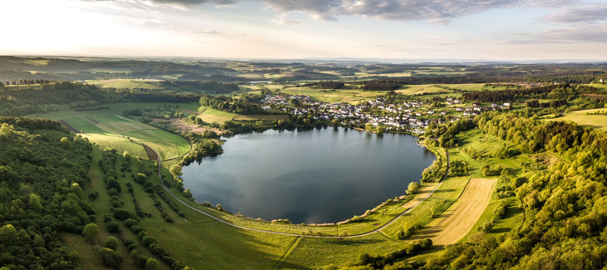
Volcanoes, water, forest – the partner trails of the Eifelsteig
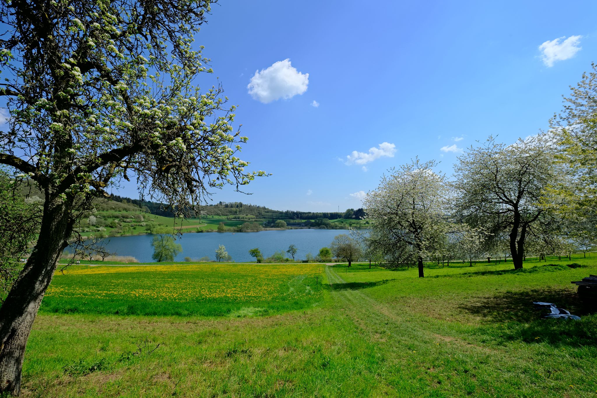
4日間の純粋な地質学的歴史 — 火山アイフェルのツアー
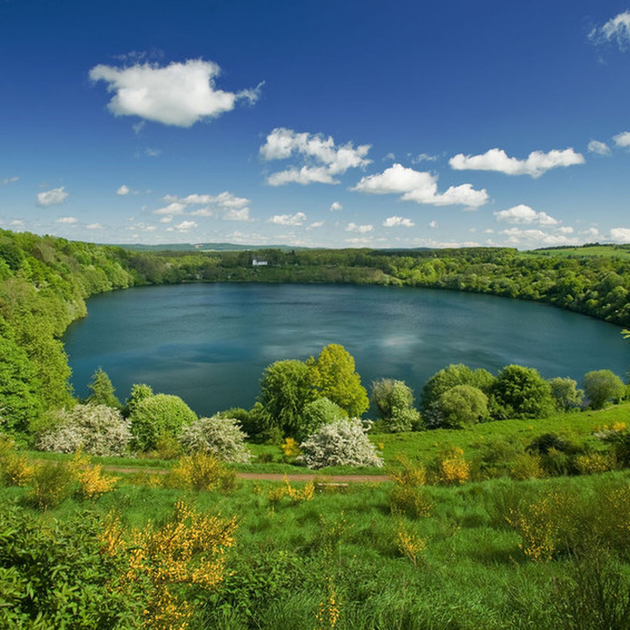
シャルケンメーレンでのハイキング
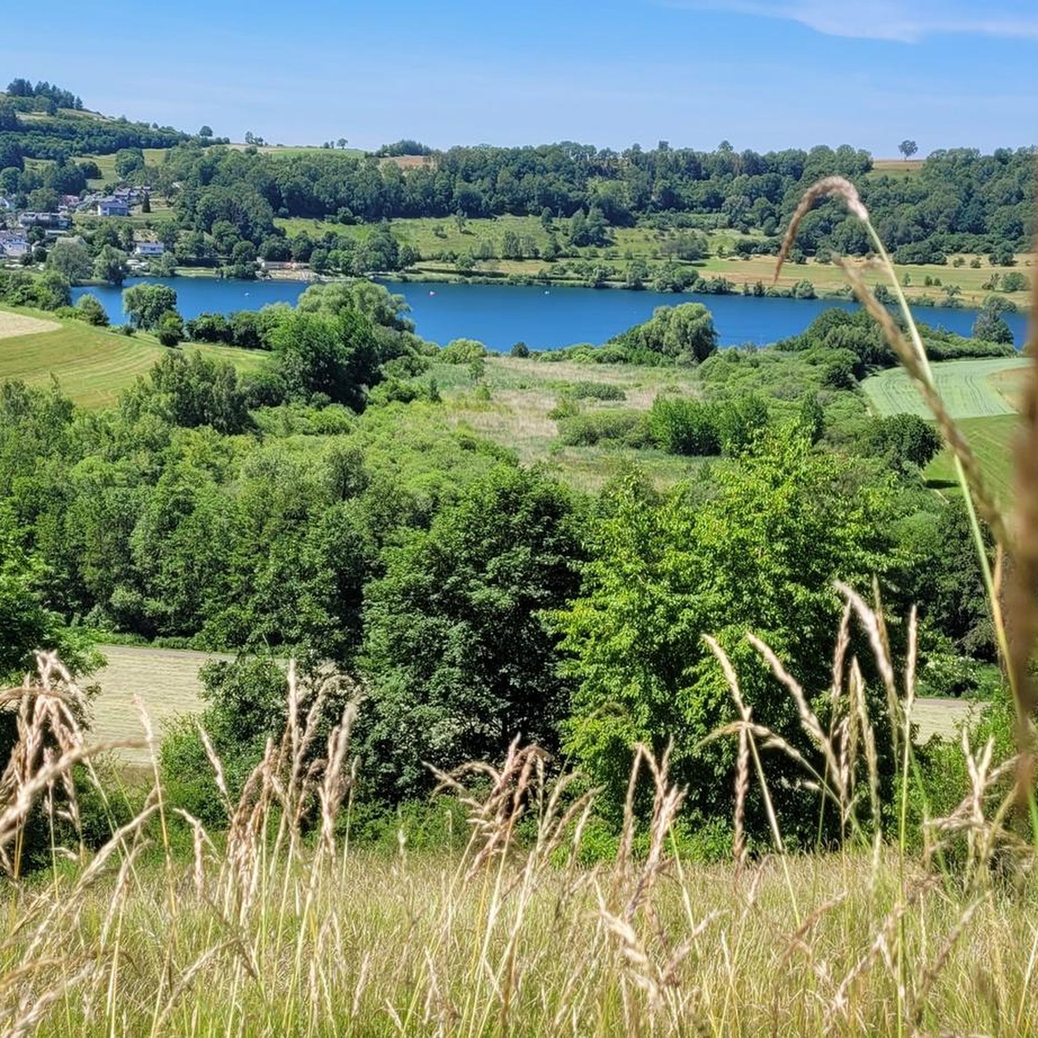
シャルケンメーレンでのサイクリング
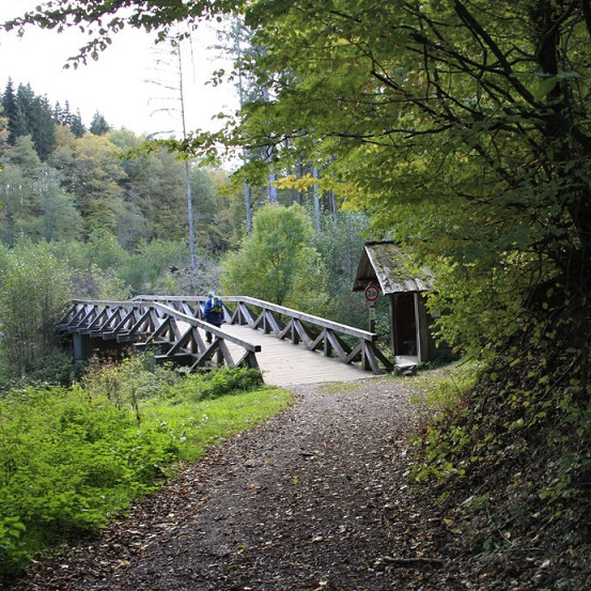
シャルケンメーレンのMTBトレイル
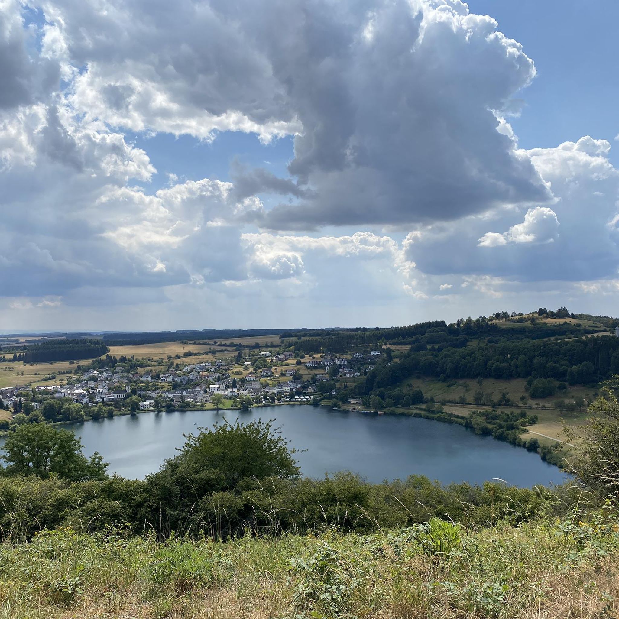
シャルケンメーレンのランニングコース


コミュニティからのヒント

Kyll川は全長127.6キロメートルで、アイフェル地方で最も長い川であり、モーゼル川の重要な左支流です。
2
0


For those with time, a visit to the Eagle and Wolf Park is certainly interesting.
0
0

In the long-gone days of our grandparents, a central bakehouse was common for the village community. In many places, these were eventually demolished. Here in Bolsdorf, however, it has been preserved and still bears witness to the old days.
7
0

A beautiful former railway bridge. It's beautiful to look at from both above and below.
1
0


A truly amazing experience for young and old. Turn on the lights – even though the tunnel is lit. And in hot weather, it's like riding through a "refrigerator."
0
0

komootモバイルアプリでインスピレーションを得よう


さらに探索
他の地域の最高のグラベルライドを見てみましょう。
