フラウエンシュタインのおすすめウォーキング&ハイキングルート
4.6
(11282)
37,161
ハイカー
149
ハイキング
フラウエンシュタイン 周辺でおすすめのハイキングやウォーキングを楽しんでいただけるように、このエリアの小径やルートを集めたkomootコレクション全体を見直しました。 以下で各ルートの詳細をご覧になり、フラウエンシュタイン周辺の大自然を満喫する際の参考にしてください。
最終更新日: 9月 29, 2026
4.6
(240)
735
ハイカー
15.3km
04:35
380m
380m
中程度のハイキング. ある程度のフィットネスレベルが必要です。 全般的に進みやすいルートです。安定して歩行できる技術が必要です。
4.6
(54)
136
ハイカー
17.6km
04:53
310m
310m
中程度のハイキング. ある程度のフィットネスレベルが必要です。 全般的に進みやすいルートです。安定して歩行できる技術が必要です。

4.8
(39)
119
ハイカー
8.39km
02:15
100m
100m
中程度のハイキング. ある程度のフィットネスレベルが必要です。 進みやすいルートです。あらゆるスキルレベルに適しています。
4.9
(17)
53
ハイカー
6.32km
01:47
140m
140m
初級者向けハイキング. あらゆるフィットネスレベルに適しています。 進みやすいルートです。あらゆるスキルレベルに適しています。
4.4
(14)
38
ハイカー
7.71km
02:13
190m
190m
中程度のハイキング. ある程度のフィットネスレベルが必要です。 進みやすいルートです。あらゆるスキルレベルに適しています。
さらに多くのルートや他のユーザーのおすすめ情報を確認できます。
すでにアカウントをお持ちですか?
おすすめのツアーは他のkomootユーザーが実際に経験した何千ものアクティビティに基づいています。
無料アカウントで今日から始めよう
次の冒険が待っています。
フラウエンシュタイン周辺で人気
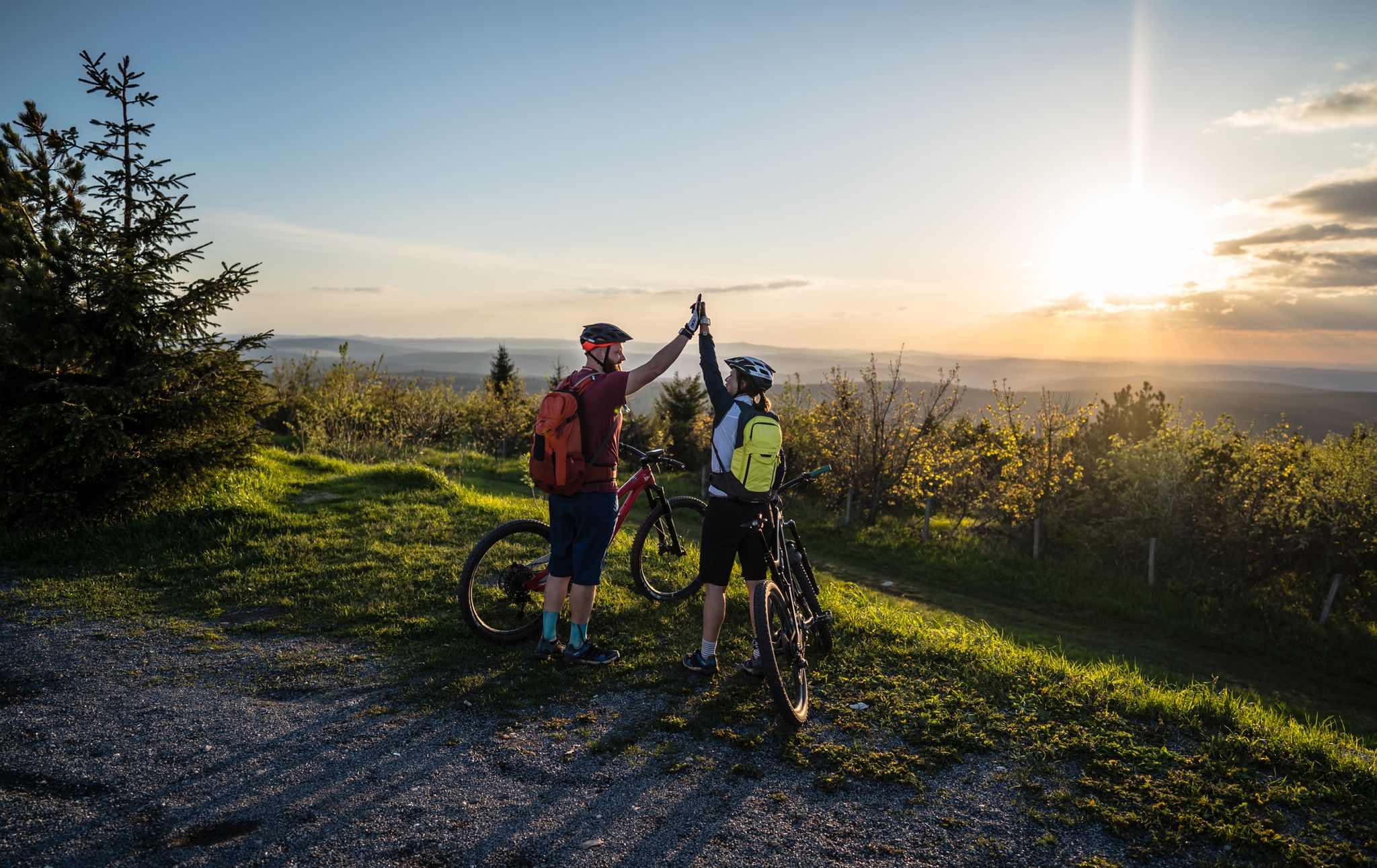
Flying high on two wheels – bike holidays in the Ore Mountains
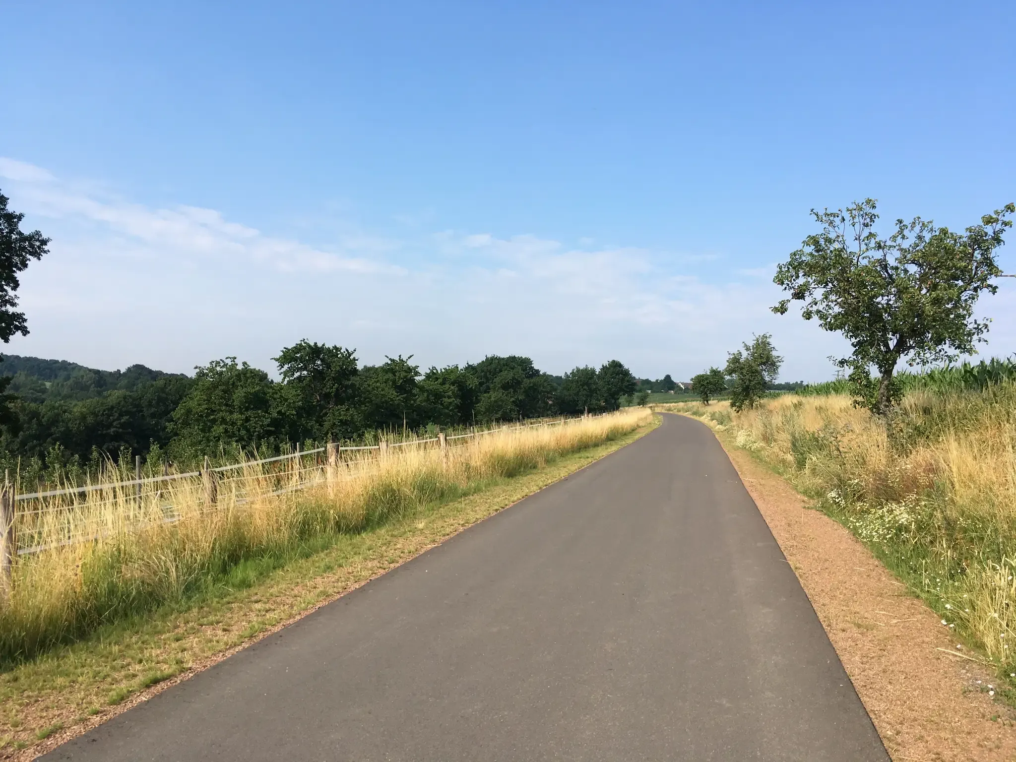
全力前進 - ドーレスデンの周辺の鉄道自転車道
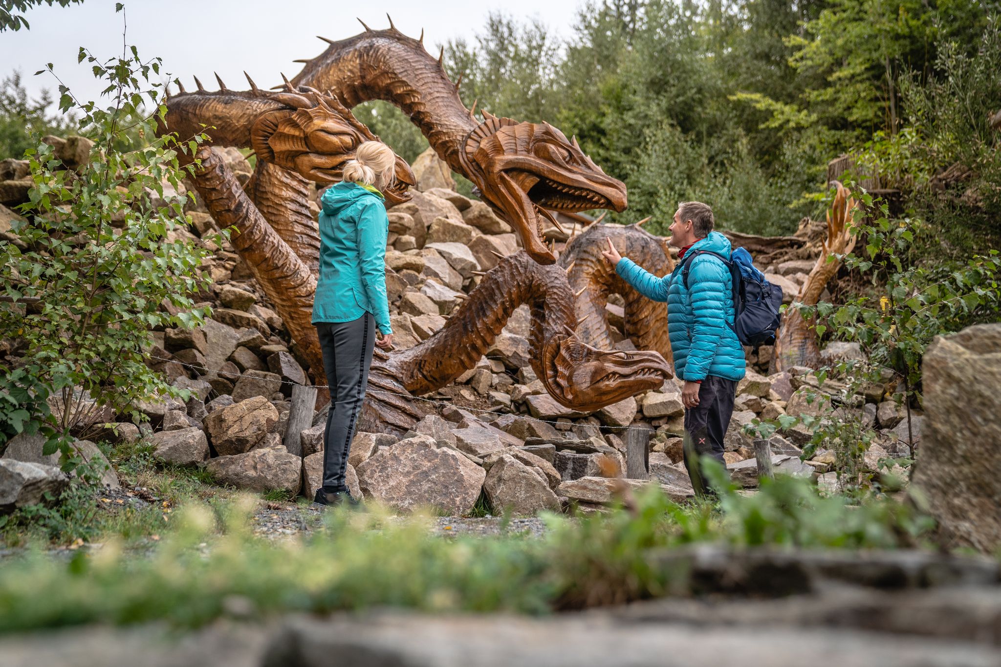
Wandertouren - Handwerk & Heimatgenuss
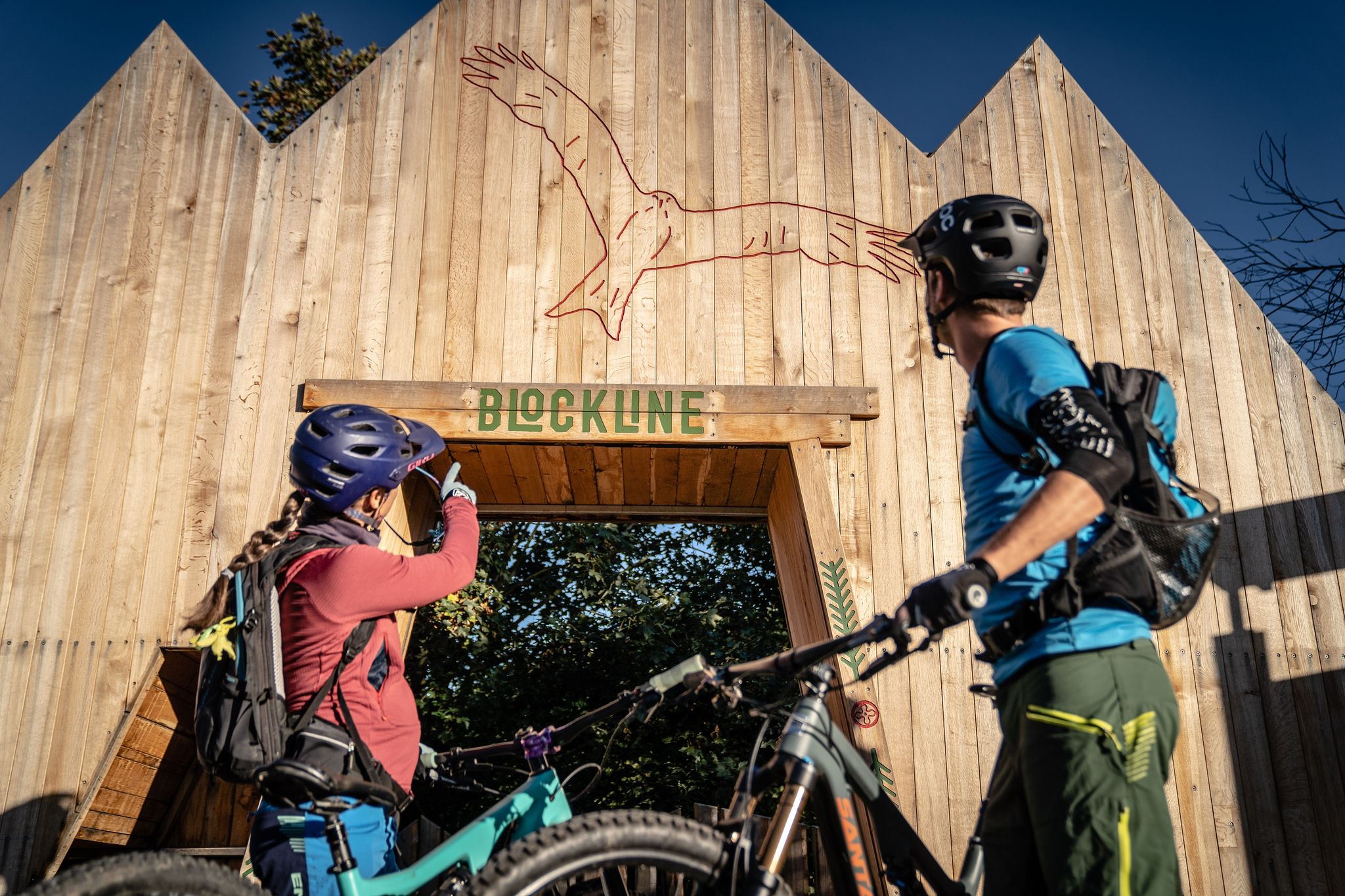
BLOCKLINE – Dein Bike-Abenteuer im Erzgebirge
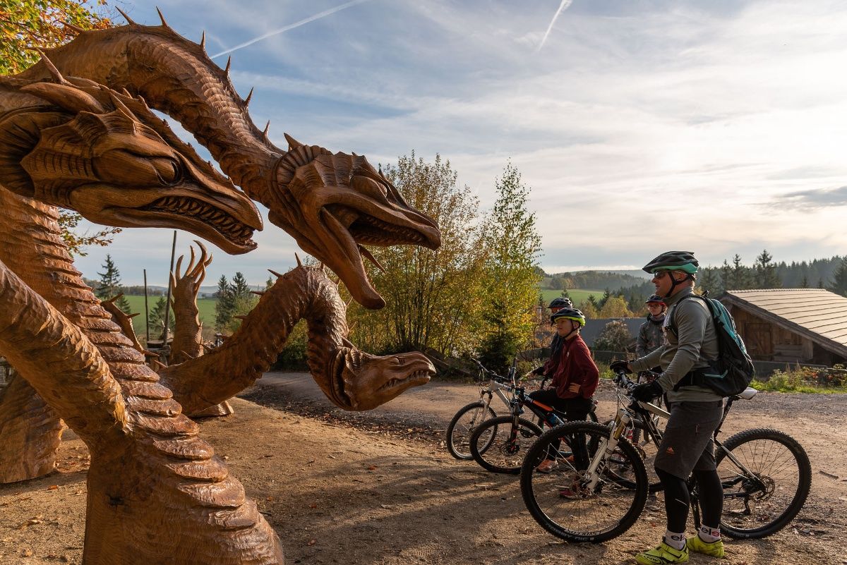
BLOCKLINE-Gesamtstrecke in 5 Tagen – Bike-Urlaub im Erzgebirge
フラウエンシュタインのロードバイクルート
フラウエンシュタインでのサイクリング
フラウエンシュタインのランニングコース
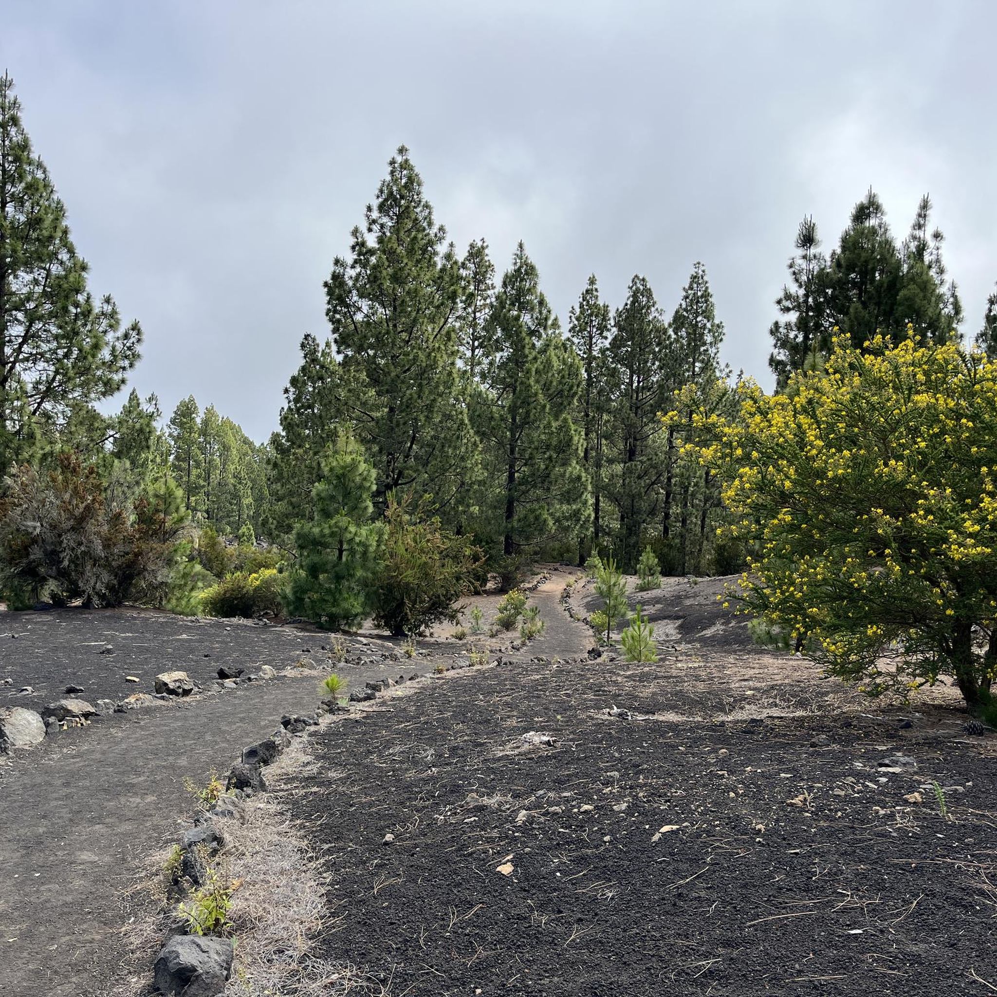
フラウエンシュタインでののグラベルライド
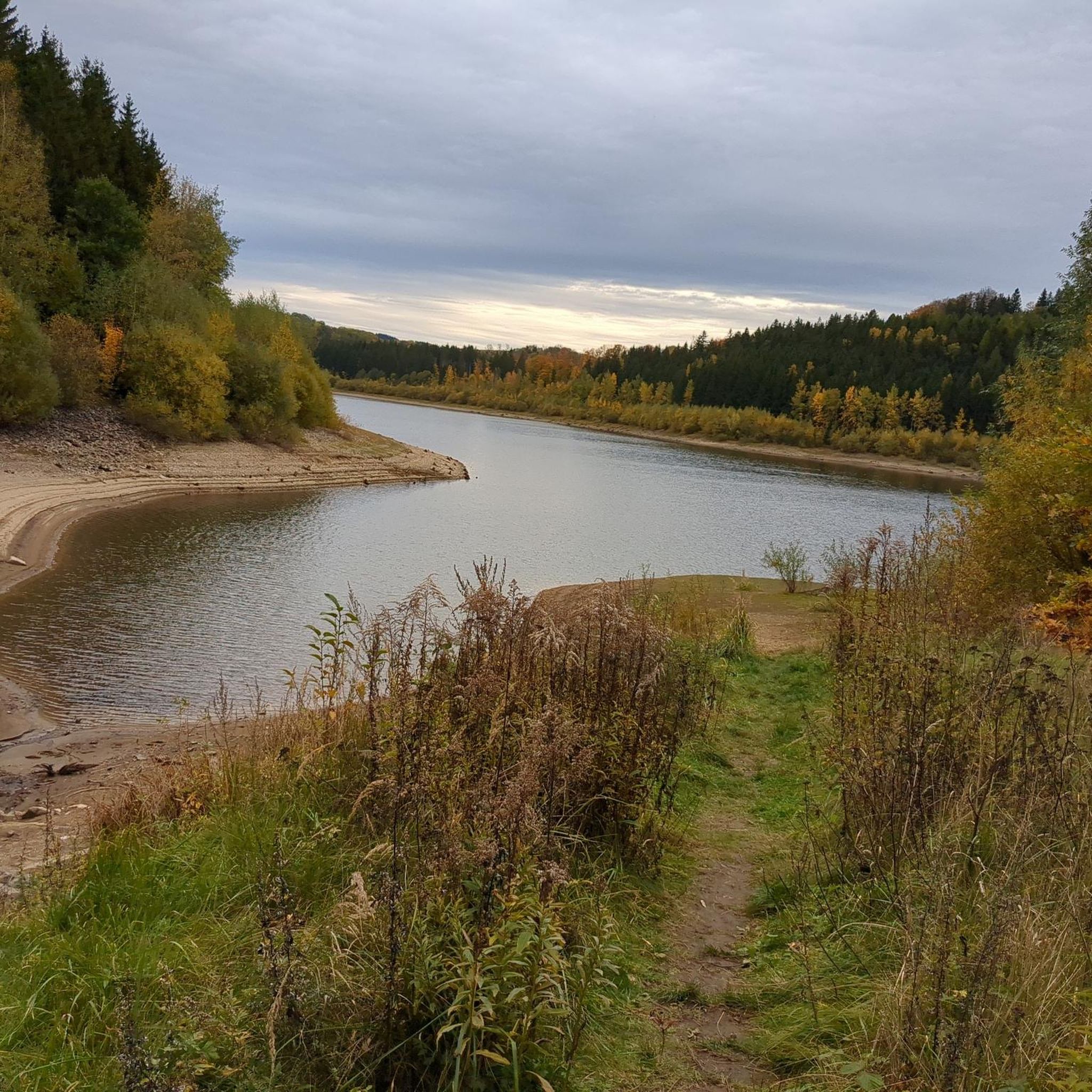
フラウエンシュタインのMTBトレイル
フラウエンシュタインでのの他の冒険


コミュニティからのヒント


You learn a lot of interesting facts about silver mining.
0
1

Blockline: signposted bike route in parts of the Ore Mountains, mostly with rest areas
3
0

The Frauenstein Art Experience Trail is a 3.15 km circular trail in Frauenstein, Saxony, featuring artworks from the European Art Symposium and the nature trail. It is located partly near the castle ruins and in the mountain park. The trail is accessible with regular street shoes and is largely identical to the nature trail.
2
0
The Royal Saxon Triangulation was a national survey conducted between 1862 and 1890 that mapped the Kingdom of Saxony with a precise triangular network to create the basis for accurate maps. The network consisted of 158 points, including 36 main stations for the Central European Triangulation System, at which survey pillars were erected. These pillars are now technical monuments and bear witness to one of the most precise land surveys in Europe during the 19th century.
2
2
The ruins of Frauenstein Castle are located on a 680-meter-high granite porphyry rock on the ridge of the Eastern Ore Mountains near the town of Frauenstein in the district of Central Saxony. See: https://de.wikipedia.org/wiki/Burg_Frauenstein_(Erzgebirge)
3
1
Frauenstein Castle is a Renaissance castle in the Ore Mountains, located right next to a medieval castle ruin that is considered a landmark of the town and was built around 1200. The castle was built in 1585 to meet growing housing needs and today houses the Gottfried Silbermann Museum, dedicated to the famous organ builder. Unfortunately, it was hazy today, so we didn't have a view.
2
1
Behind the ruins of Frauenstein Castle, a rock with a pavilion protrudes, called the Zeisigstein. The name is said to derive from a captain of the Meissen burgraves, Zeisig. The following story is told about it: During the feud between Elector Frederick the Gentle and the Meissen burgrave Heinrich Reuss-Plauen, in which the former had his castle, Frauenstein, stormed and destroyed in 1438, a castle captain named Zeisig, who was defending it, was supposedly beheaded as a rebel on the aforementioned rock. Even today, the door through which this burgrave's vassal was supposedly led to his execution can be seen in the castle ruins' ring wall. See: https://www.erzgebirge-museum.de/content/view/1572/3305/
3
1
フラウエンシュタインでのの人気観光スポット

komootモバイルアプリでインスピレーションを得よう


さらに探索
他の地域の最高のハイキングを見てみましょう。
