Clitheroeのおすすめウォーキング&ハイキングルート
4.5
(110)
1,015
ハイカー
80
ハイキング
Clitheroe 周辺でおすすめのハイキングやウォーキングを楽しんでいただけるように、このエリアの小径やルートを集めたkomootコレクション全体を見直しました。 以下で各ルートの詳細をご覧になり、Clitheroe周辺の大自然を満喫する際の参考にしてください。
最終更新日: 10月 10, 2026
3.9
(7)
33
ハイカー
18.8km
05:39
570m
570m
難しいハイキング. 標準以上のフィットネスレベルが必要です。 進みやすいルートです。あらゆるスキルレベルに適しています。
4.3
(21)
117
ハイカー
10.5km
02:44
70m
70m
中程度のハイキング. ある程度のフィットネスレベルが必要です。 進みやすいルートです。あらゆるスキルレベルに適しています。

5.0
(8)
74
ハイカー
6.83km
01:46
40m
40m
初級者向けハイキング. あらゆるフィットネスレベルに適しています。 進みやすいルートです。あらゆるスキルレベルに適しています。
27
ハイカー
4.41km
01:09
30m
30m
初級者向けハイキング. あらゆるフィットネスレベルに適しています。 進みやすいルートです。あらゆるスキルレベルに適しています。
45
ハイカー
7.03km
01:49
30m
30m
初級者向けハイキング. あらゆるフィットネスレベルに適しています。 進みやすいルートです。あらゆるスキルレベルに適しています。
さらに多くのルートや他のユーザーのおすすめ情報を確認できます。
すでにアカウントをお持ちですか?
おすすめのツアーは他のkomootユーザーが実際に経験した何千ものアクティビティに基づいています。
無料アカウントで今日から始めよう
次の冒険が待っています。

コミュニティからのヒント

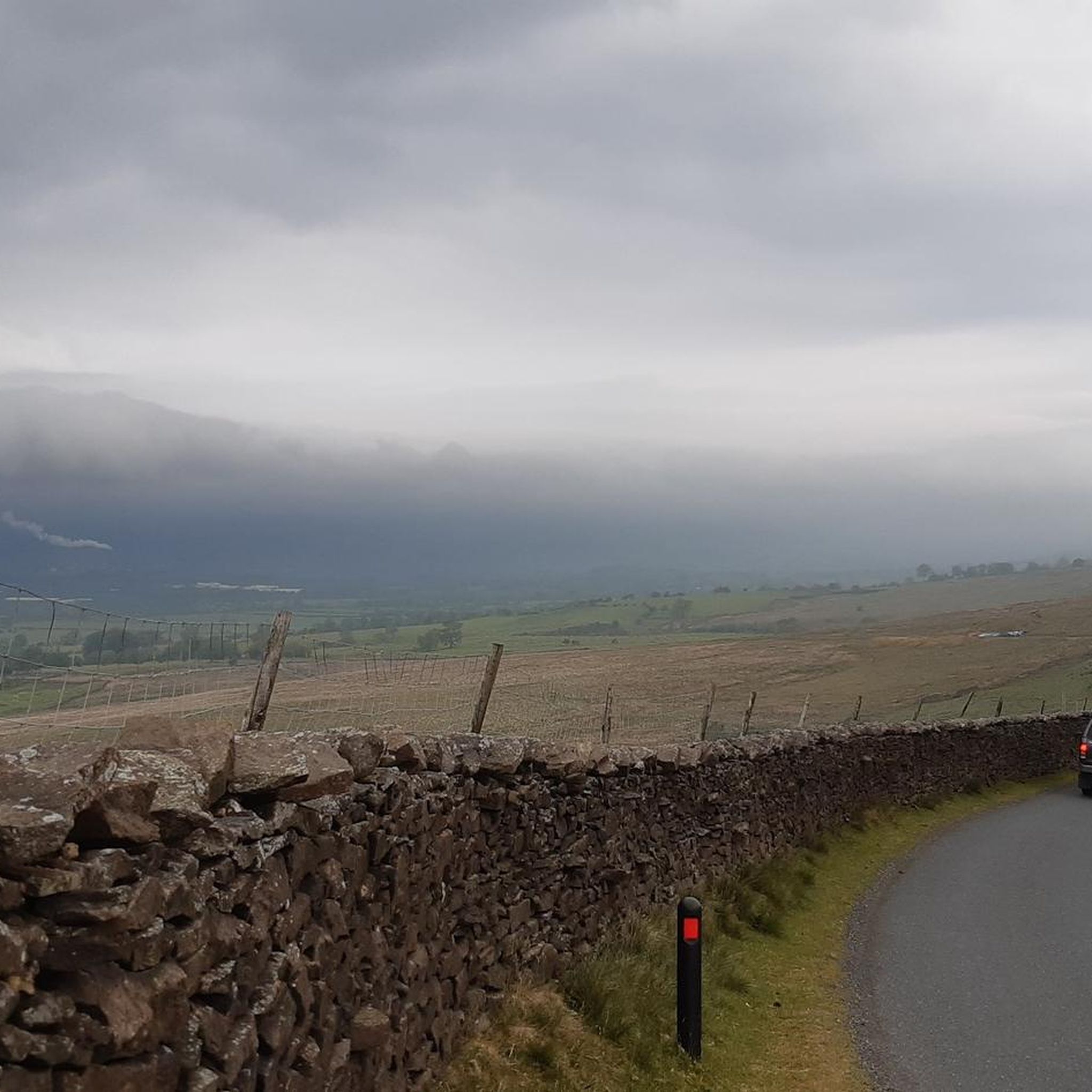
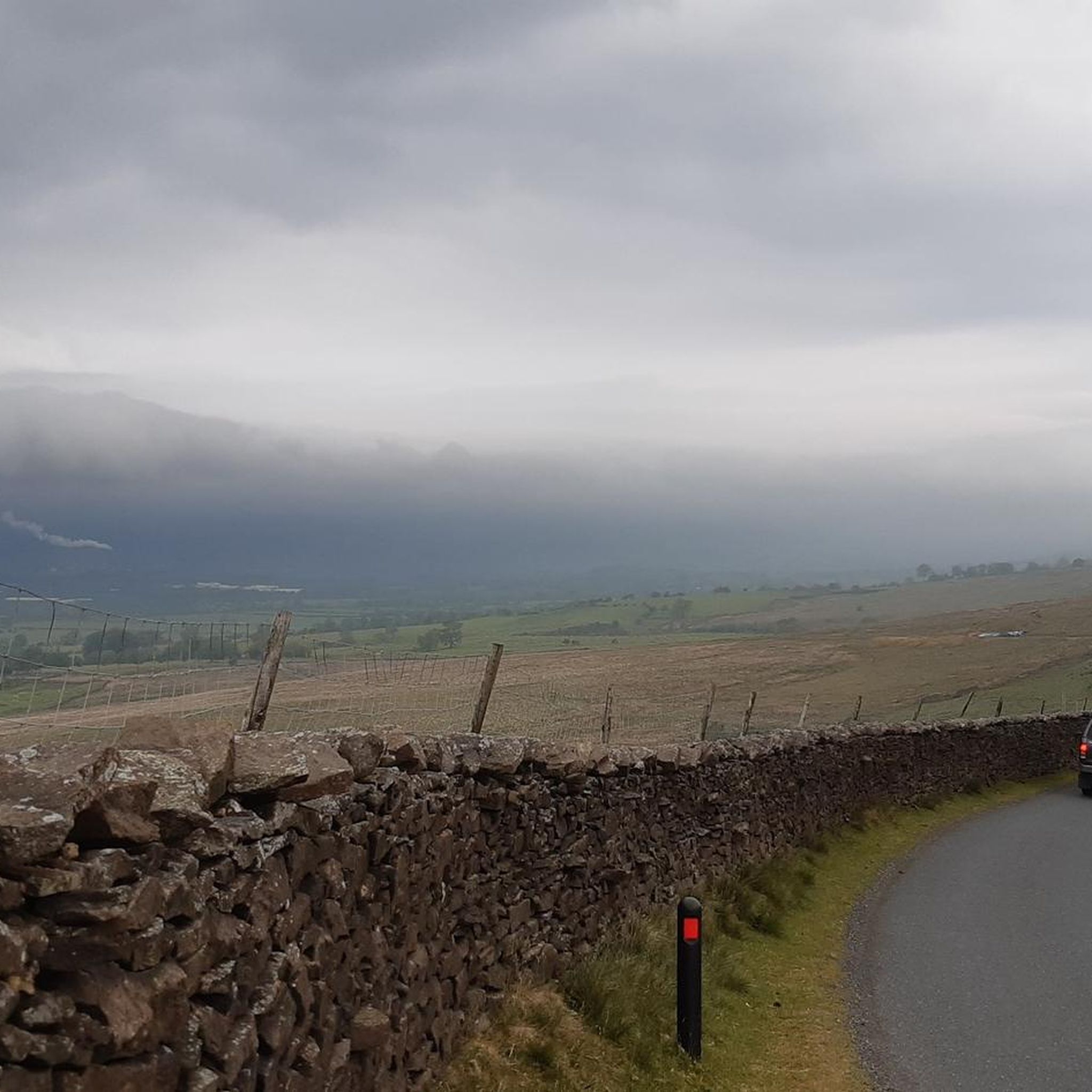
Don't forget that it's always windy on top.
1
0

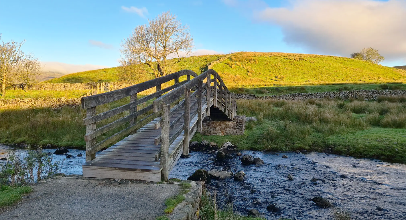
Footpaths by the river and the quiet road coming from Grindleton and Chatburn. Lots of options to link from here
0
0
I grew up running around here, the front side with the steps is great for training.
0
0

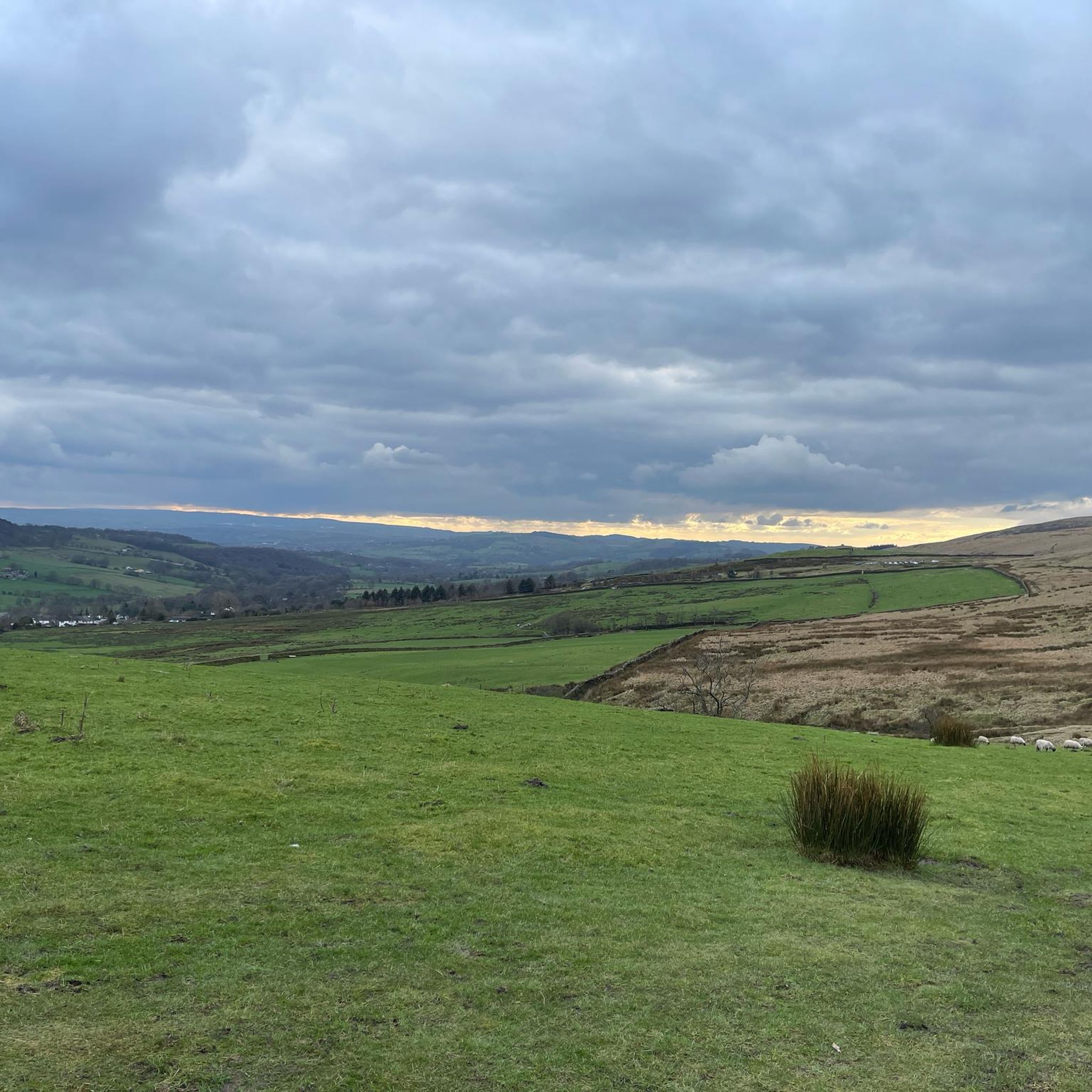
A gorgeous view over the Upper and Lower Ogden Reservoir. These reservoirs provide drinking water to the town of Nelson.
2
0

Memorial Cairn celebrating 75 years of Scouting. 1907 - 1982
0
0
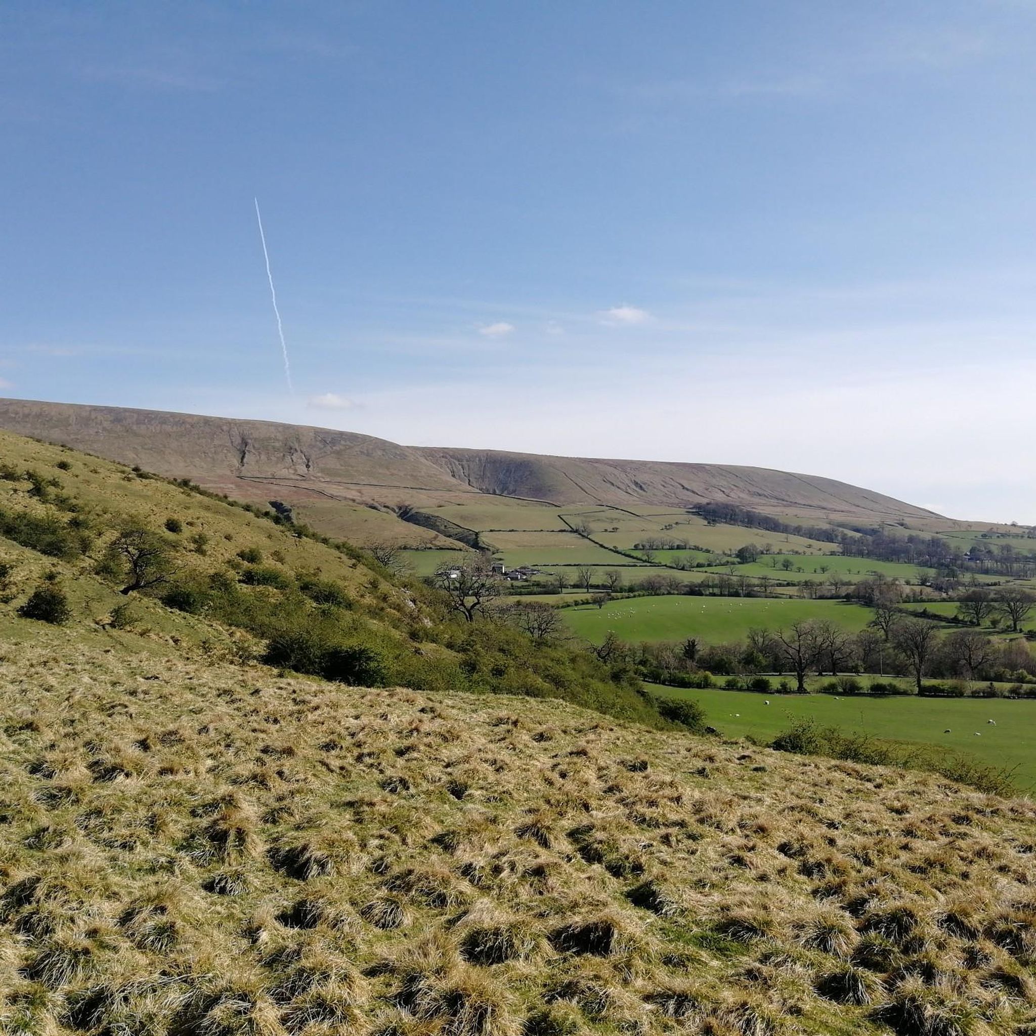
Pendle Hill looms over East Lancashire between the towns of Clitheroe and Nelson. With its distinctive humpback shape, visible for miles around from all directions, it is a local landmark, rising from an area of green beauty. The district is dotted with tiny hamlets and farms, divided by ancient drystone walls and full of folklore and stories – not least the famous tale of the Pendle Witches. Geographically, Pendle Hill is part of the Pennine Chain of hills that run north-south through the northern half of England. It is included in the Forest of Bowland Area of Outstanding Natural Beauty, though Pendle is a discrete hill, separated from the main upland area of Bowland by the Ribble Valley.
0
0
Pendle Hill, LancashirePendle Hill looms over East Lancashire between the towns of Clitheroe and Nelson. With its distinctive humpback shape, visible for miles around from all directions, it is a local landmark, rising from an area of green beauty. The district is dotted with tiny hamlets and farms, divided by ancient drystone walls and full of folklore and stories – not least the famous tale of the Pendle Witches. Geographically, Pendle Hill is part of the Pennine Chain of hills that run north-south through the northern half of England. It is included in the Forest of Bowland Area of Outstanding Natural Beauty, though Pendle is a discrete hill, separated from the main upland area of Bowland by the Ribble Valley.
2
0

An outlier from the hills of the main Forest of Bowland area makes Pendle Hill a superb stand along peak. At 532m it's high enough to feel big and offer excellent views north into the hills and in other directions over the more populated areas of Lancashire. Pendle is intertwined with myth and legend from jumping giants to the famous witch trials in the early 17th century. Much loved locally it's a great run from any direction with most routes providing a tough but manageable climb and a brilliant descent.
0
0
Clitheroeの人気観光スポット

komootモバイルアプリでインスピレーションを得よう


さらに探索
他の地域の最高のハイキングを見てみましょう。
