アルテンアールのおすすめウォーキング&ハイキングルート
4.5
(4190)
15,375
ハイカー
108
ハイキング
アルテンアール周辺でのハイキングは、景色を満喫するのに最適な手段のひとつですが、適切なハイキングルートを見つけることは簡単ではありません。 アルテンアール周辺の人気ハイキング&ウォーキングコースを参考にすれば、行きたいルートをすぐに見つけられます。
最終更新日: 10月 23, 2026
4.7
(335)
1,262
ハイカー
14.9km
04:27
430m
430m
中程度のハイキング. ある程度のフィットネスレベルが必要です。 ほとんどが歩ける道です。足元への注意が必要です。
4.4
(136)
493
ハイカー
20.6km
06:05
580m
580m
難しいハイキング. 標準以上のフィットネスレベルが必要です。 歩きやすい道です。

4.9
(213)
817
ハイカー
7.24km
02:21
200m
200m
難しいハイキング. ある程度のフィットネスレベルが必要です。 安定して歩行できる技術、丈夫な靴、高標高地での登山経験が必要です。
4.8
(112)
498
ハイカー
13.3km
03:57
380m
380m
中程度のハイキング. ある程度のフィットネスレベルが必要です。 ほとんどが歩ける道です。足元への注意が必要です。
4.7
(277)
883
ハイカー
8.10km
02:29
270m
270m
中程度のハイキング. ある程度のフィットネスレベルが必要です。 ほとんどが歩ける道です。足元への注意が必要です。
さらに多くのルートや他のユーザーのおすすめ情報を確認できます。
すでにアカウントをお持ちですか?
おすすめのツアーは他のkomootユーザーが実際に経験した何千ものアクティビティに基づいています。


コミュニティからのヒント


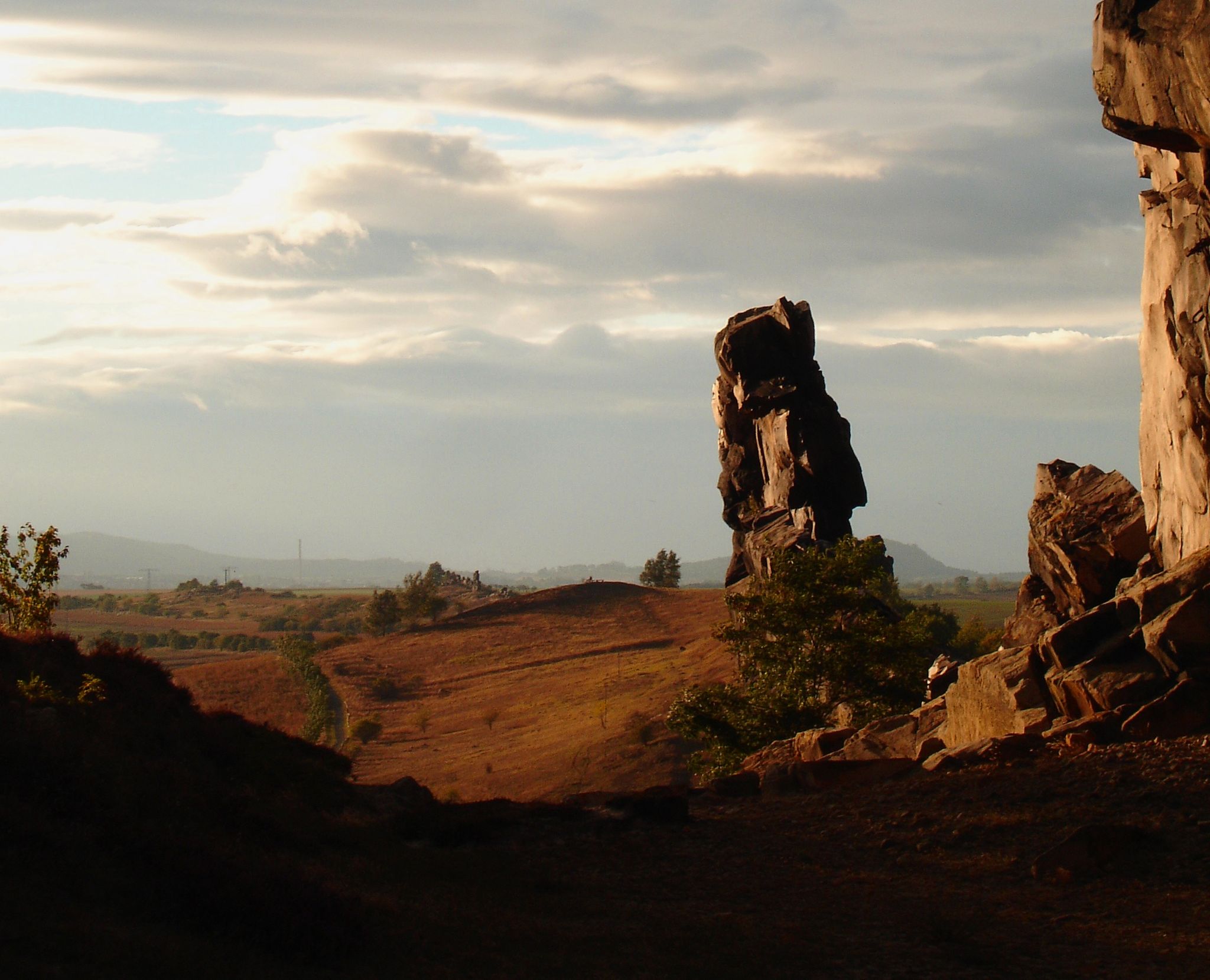
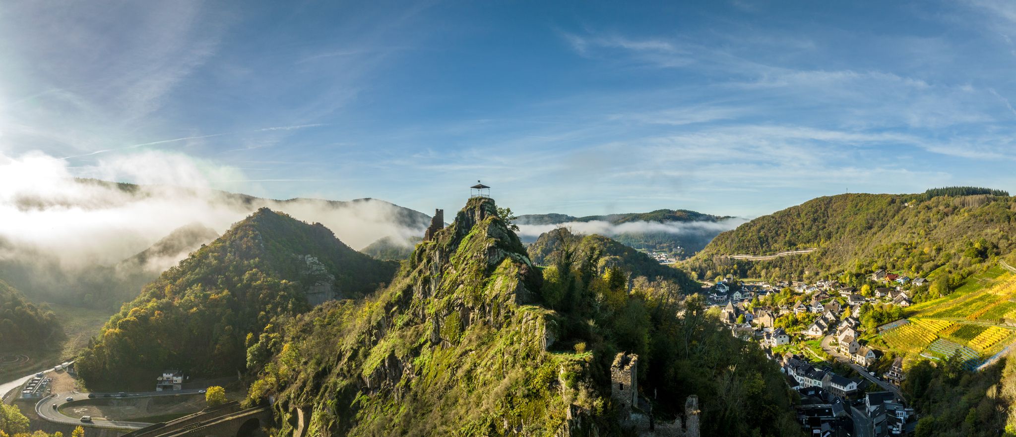
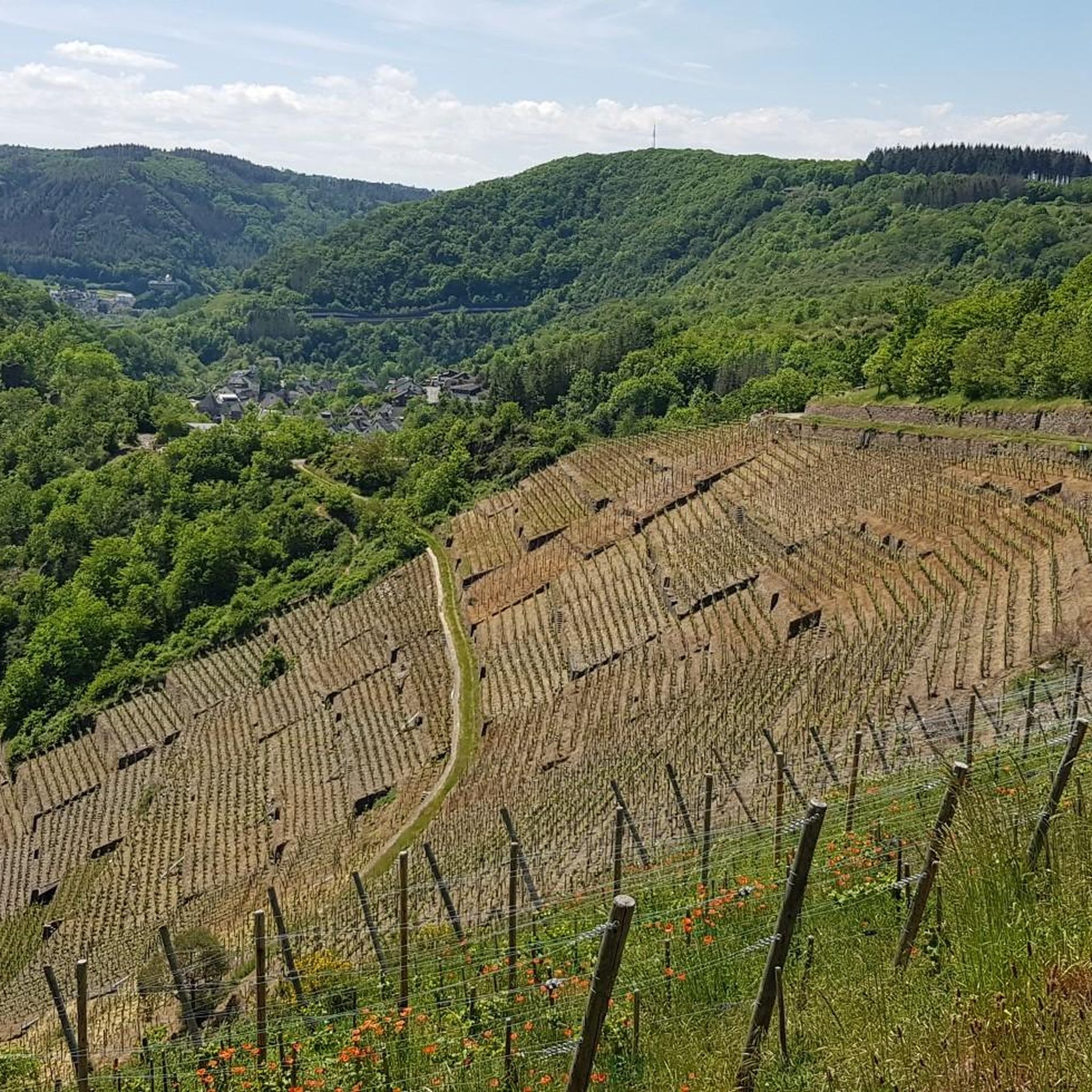
Teufelsleyの頂上を通り過ぎ、Schrockの頂上へと続く狭いシングルトレイル。 このトレイルは、山小屋のあるSchrockの頂上への厳しい登りがある、挑戦的なマウンテンハイキングトレイルです。 Schrockの頂上からは、アーレタール、ライン川の平野、そしてジゲン山脈まで美しい景色を眺めることができます。
2
0

クレーリンゲンにある美しい小さなザンクト・キリヌス礼拝堂は15世紀に建てられました。 https://www.pfarrei-ahreifel.de/pfarreien/berg/Kraelingen/index.html
0
0


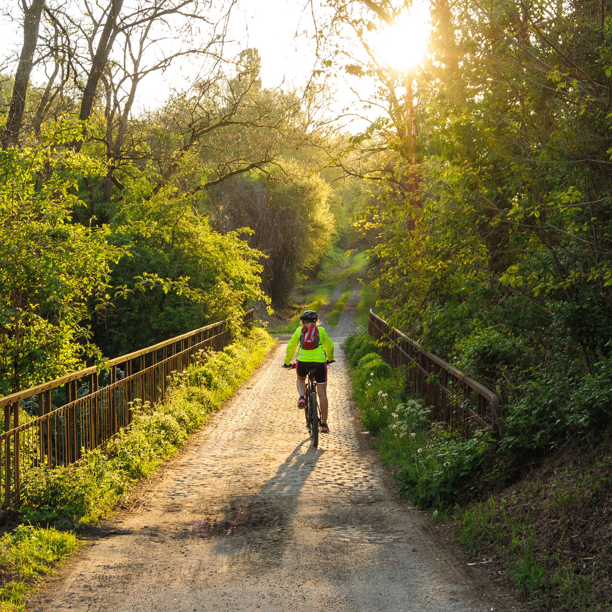
Be careful of the elevation gain and the initial climb. These are difficult for those who aren't very fit. I recommend hiking boots, as the terrain is partly rocky, often uneven, and sometimes slippery (when going downhill). You should also pay close attention to mountain drops. The cottage doesn't always indicate the exact location (forest!). Despite the good map, I went in the wrong direction three times and ended up walking about 1 km longer. I didn't find a bench or shelter along the entire route. You can only sit down at the Steinerberghaus; otherwise, you have to keep going. I hiked with my dog, which wasn't a problem.
4
0


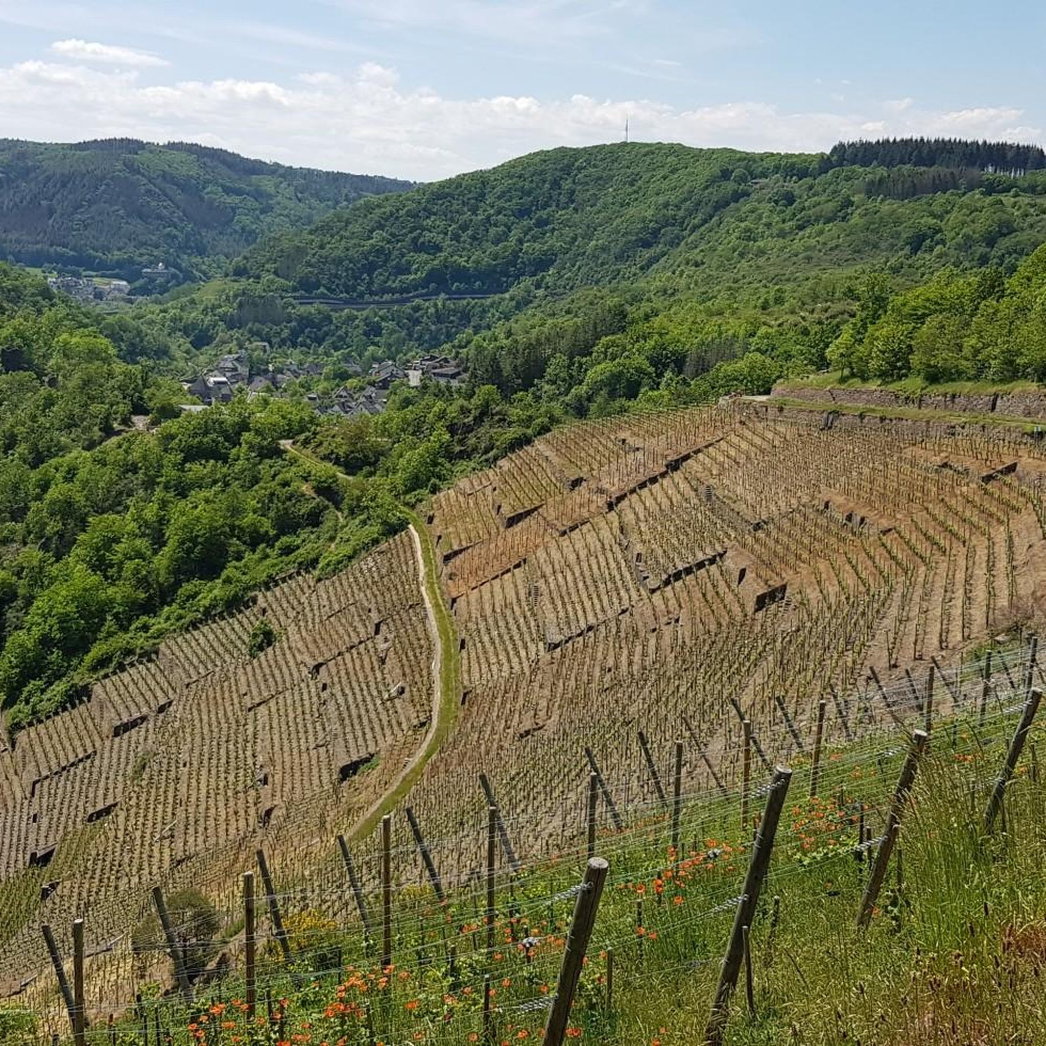
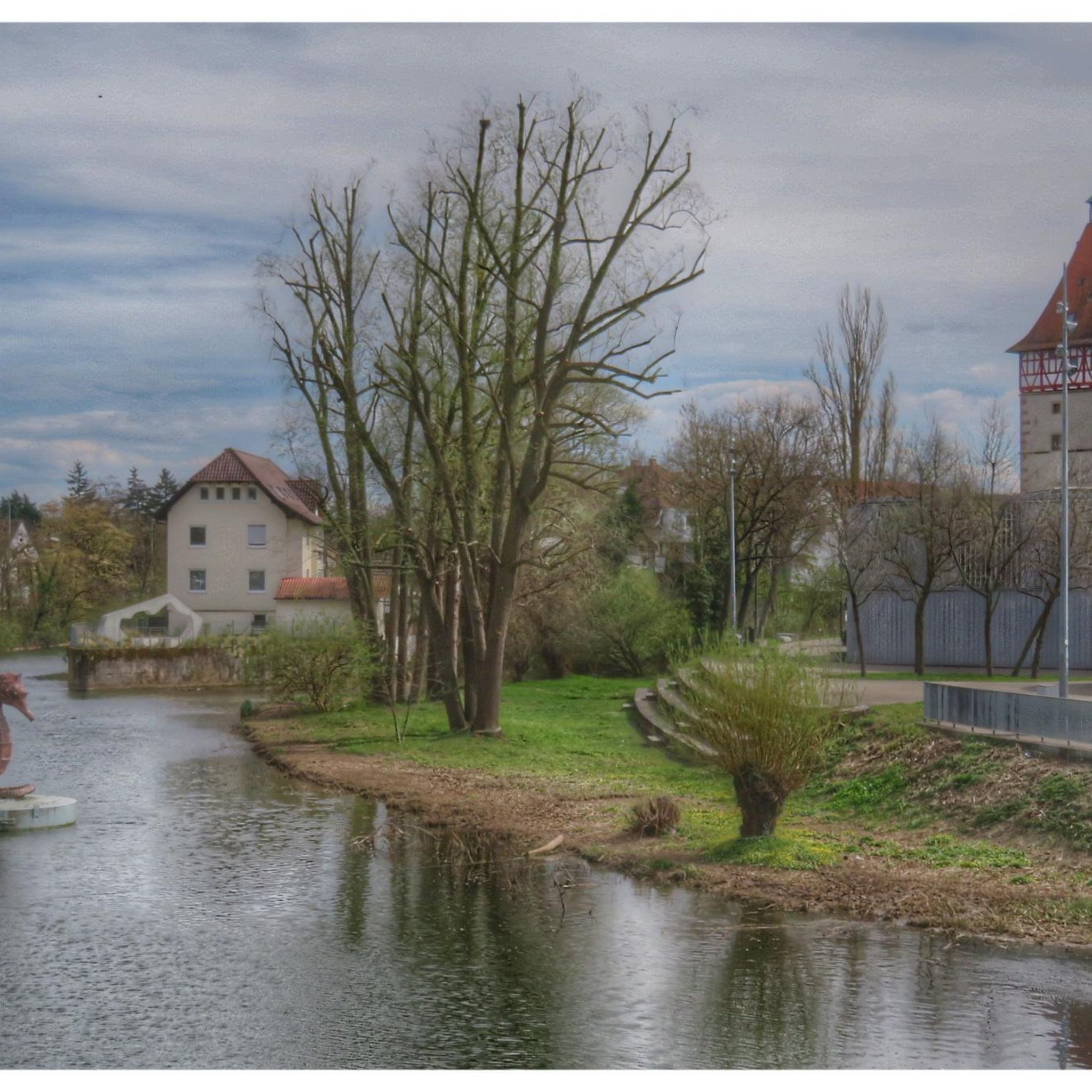
On June 12/13, 1910, a historic flood occurred in the Ahr valley with considerable damage in the towns of Altenahr, Dernau, Walporzheim and Neuenahr, as were comparable flood events before and after on July 21, 1804, June 24, 1888, January 16, 1918 and January 11, 1920.
3
0

komootモバイルアプリでインスピレーションを得よう


さらに探索
他の地域の最高のハイキングを見てみましょう。
