バルヴァイラーのおすすめウォーキング&ハイキングルート
4.6
(30)
139
ハイカー
22
ハイキング
バルヴァイラー周辺でのハイキングは、景色を満喫するのに最適な手段のひとつですが、適切なハイキングルートを見つけることは簡単ではありません。 バルヴァイラー周辺の人気ハイキング&ウォーキングコースを参考にすれば、行きたいルートをすぐに見つけられます。
最終更新日: 10月 14, 2026
4.7
(6)
19
ハイカー
8.02km
02:13
140m
140m
中程度のハイキング. ある程度のフィットネスレベルが必要です。 歩きやすい道です。
5.0
(1)
10
ハイカー
18.3km
05:13
420m
420m
難しいハイキング. 標準以上のフィットネスレベルが必要です。 歩きやすい道です。

4.5
(2)
13
ハイカー
5.80km
01:39
140m
140m
初級者向けハイキング. 歩きやすい道です。
4.7
(3)
9
ハイカー
4.73km
01:18
80m
80m
初級者向けハイキング. 歩きやすい道です。
4.0
(1)
5
ハイカー
6.66km
01:48
80m
80m
初級者向けハイキング. 歩きやすい道です。
さらに多くのルートや他のユーザーのおすすめ情報を確認できます。
すでにアカウントをお持ちですか?
おすすめのツアーは他のkomootユーザーが実際に経験した何千ものアクティビティに基づいています。
無料アカウントで今日から始めよう
次の冒険が待っています。
コミュニティからのヒント


The Catholic St. Mary's Parish and Pilgrimage Church "St. Gertrud" in Barweiler was built in 1670 and dedicated to St. Gertrude and St. Nicholas. The church is the destination of the annual pilgrimage to the Mother of God with the blooming lilies.
0
0

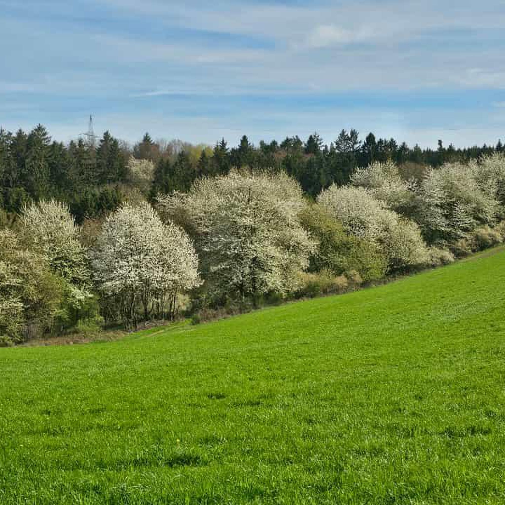
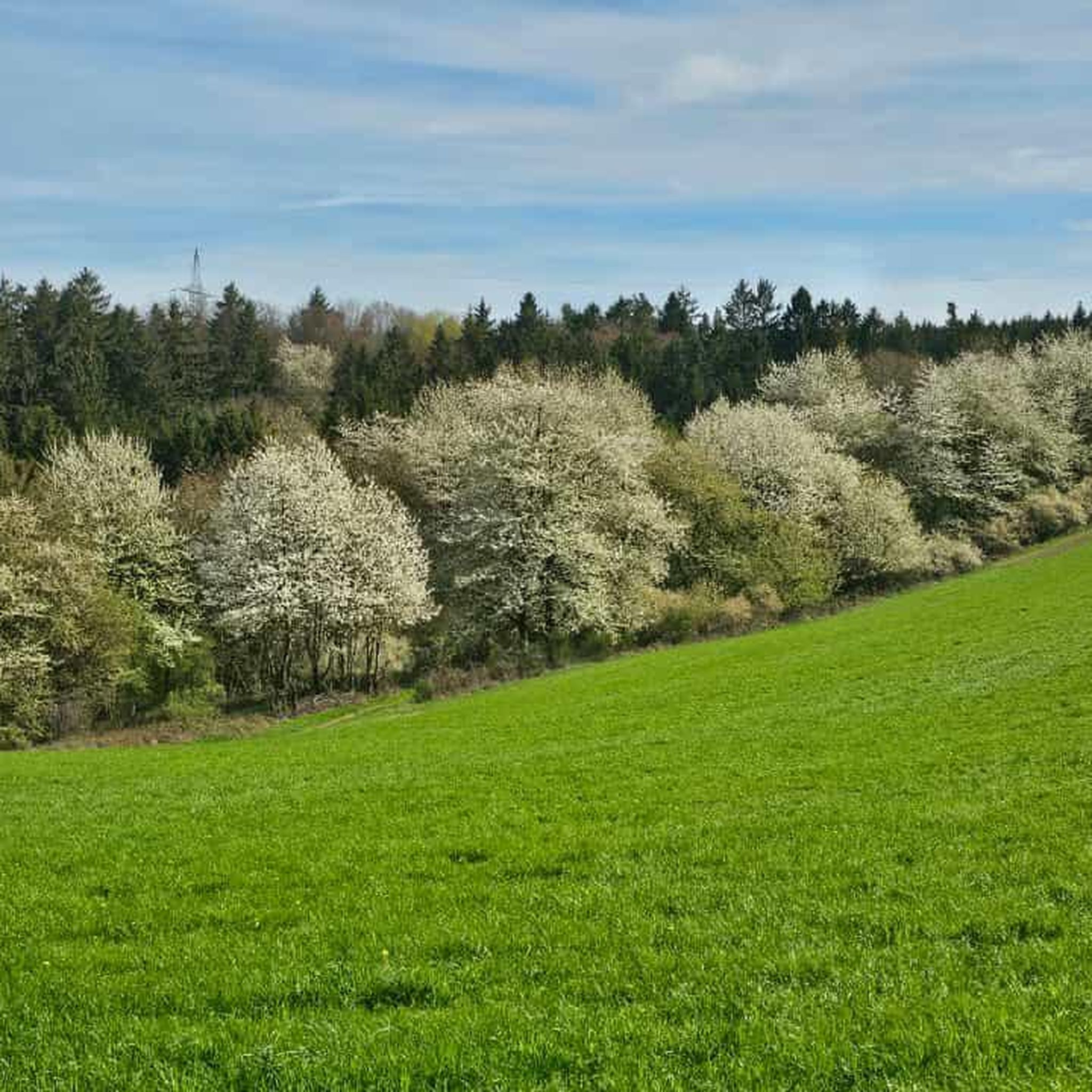
Beautiful view of the Honerather Valley in spring
1
0
Honerath with the residential areas Am Ackerbusch and Donatushof is a municipality in the collective municipality of Adenau in the district of Ahrweiler. The town of Wüstenbrand in Saxony is a twin municipality. The town measures a good two square kilometers and is located around 380 meters above sea level.
0
0
The Barweiler mill is powered by the Wirftbach. It was probably built in 1811 by Theodor Maas as an oil mill and in 1855 was expanded by its new owner Johann Müller and converted into a grain mill. With only one overshot water wheel, the milling operation was minimal. The milling capacity was two tons of grain per day. The mill was shut down in 1974.
0
0

komootモバイルアプリでインスピレーションを得よう


さらに探索
他の地域の最高のハイキングを見てみましょう。
