ガブリンゲンのおすすめウォーキング&ハイキングルート
4.5
(106)
512
ハイカー
87
ハイキング
ガブリンゲン周辺でのハイキングは、景色を満喫するのに最適な手段のひとつですが、適切なハイキングルートを見つけることは簡単ではありません。 ガブリンゲン周辺の人気ハイキング&ウォーキングコースを参考にすれば、行きたいルートをすぐに見つけられます。
最終更新日: 10月 21, 2026
4.7
(13)
33
ハイカー
11.3km
03:02
130m
130m
中程度のハイキング. ある程度のフィットネスレベルが必要です。 進みやすいルートです。あらゆるスキルレベルに適しています。
4.5
(6)
29
ハイカー
12.0km
03:18
200m
200m
中程度のハイキング. ある程度のフィットネスレベルが必要です。 進みやすいルートです。あらゆるスキルレベルに適しています。

4.4
(7)
34
ハイカー
5.62km
01:25
10m
10m
初級者向けハイキング. あらゆるフィットネスレベルに適しています。 進みやすいルートです。あらゆるスキルレベルに適しています。
4.3
(6)
23
ハイカー
5.54km
01:24
10m
10m
初級者向けハイキング. あらゆるフィットネスレベルに適しています。 進みやすいルートです。あらゆるスキルレベルに適しています。
4.0
(2)
18
ハイカー
4.45km
01:11
40m
40m
初級者向けハイキング. あらゆるフィットネスレベルに適しています。 進みやすいルートです。あらゆるスキルレベルに適しています。
さらに多くのルートや他のユーザーのおすすめ情報を確認できます。
すでにアカウントをお持ちですか?
おすすめのツアーは他のkomootユーザーが実際に経験した何千ものアクティビティに基づいています。
無料アカウントで今日から始めよう
次の冒険が待っています。


コミュニティからのヒント

Currently no donkey, but goats and this, unfortunately private, resting place
0
0

The Schmutter is a 96-kilometer-long river in the Bavarian administrative district of Swabia, which flows through the Achsheim district of the municipality of Langweid am Lech. In this section, the Schmutter offers a wide range of opportunities for nature lovers and anglers. Fishing on the Schmutter near Achsheim: The Schmutter near Achsheim is a popular fishing water with a rich fish population. Anglers can catch brown trout, rainbow trout, carp and perch, among other things. The stretch is managed by the 1st Augsburg Anglers Club and the Augsburg Fishing Association. Guest cards are available; further information can be found on the Augsburg Fishing Association website. Leisure activities: In addition to fishing, the area around the Schmutter near Achsheim is ideal for walks and bike rides. The natural landscape offers rest and relaxation away from the hustle and bustle of the city.
1
0
The Schmutter is a 96-kilometer-long river in the Bavarian administrative district of Swabia that flows past Gablingen. It rises in the Stauden, about three kilometers west of Siebnach, and flows into the Danube from the right opposite Donauwörth. In Gablingen, the Schmutter shapes the landscape and offers a wide range of leisure opportunities. Cycling and hiking trails run along the river, inviting you to explore the surrounding nature. The section with a view of Gablingen Castle is particularly attractive and is ideal for walks and bike rides. In June 2024, Gablingen experienced a flood event in which the Schmutter overflowed its banks and flooded parts of the town. Some streets were affected and water penetrated basements and living areas. The Schmutter is not only a scenic highlight, but also an important habitat for numerous animal and plant species. It contributes significantly to the region's biodiversity and is a popular destination for nature lovers.
1
0
The Schmutter is a 96-kilometer-long river in the Bavarian administrative district of Swabia that flows past Gablingen. It rises in the Stauden, about three kilometers west of Siebnach, and flows into the Danube from the right opposite Donauwörth. In Gablingen, the Schmutter shapes the landscape and offers a wide range of leisure opportunities. Cycling and hiking trails run along the river, inviting you to explore the surrounding nature. The section with a view of Gablingen Castle is particularly attractive and is ideal for walks and bike rides. In June 2024, Gablingen experienced a flood event in which the Schmutter overflowed its banks and flooded parts of the town. Some streets were affected and water penetrated basements and living areas. The Schmutter is not only a scenic highlight, but also an important habitat for numerous animal and plant species. It contributes significantly to the region's biodiversity and is a popular destination for nature lovers.
1
0
The Schmutter is a 96-kilometer-long river in the Bavarian administrative district of Swabia that flows past Gablingen. It rises in the Stauden, about three kilometers west of Siebnach, and flows into the Danube from the right opposite Donauwörth. In Gablingen, the Schmutter shapes the landscape and offers a wide range of leisure opportunities. Cycling and hiking trails run along the river, inviting you to explore the surrounding nature. The section with a view of Gablingen Castle is particularly attractive and is ideal for walks and bike rides. In June 2024, Gablingen experienced a flood event in which the Schmutter overflowed its banks and flooded parts of the town. Some streets were affected and water entered basements and living areas. The municipality provided information about this on its official website. The Schmutter is not only a scenic highlight, but also an important habitat for numerous animal and plant species. It contributes significantly to the biodiversity in the region and is a popular destination for nature lovers.
2
0


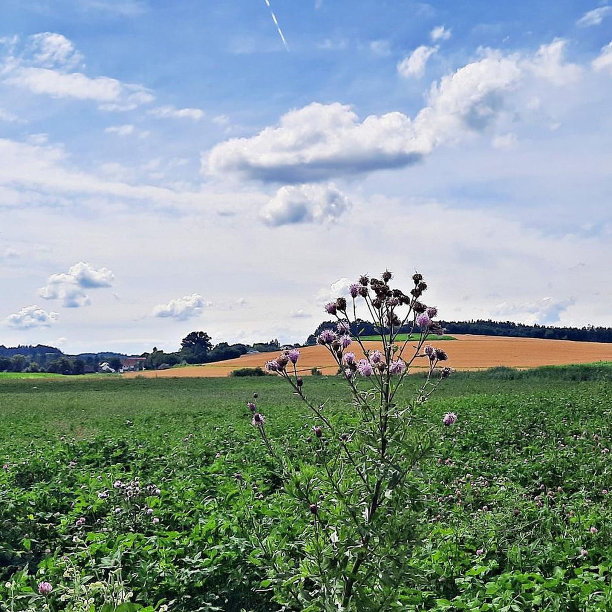
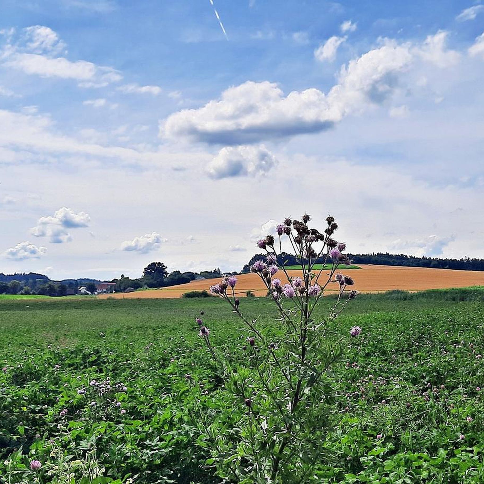
At this point you cross the Schmutter. In summer, its banks are bursting with lush greenery.
2
0

ガブリンゲンでのの人気観光スポット

komootモバイルアプリでインスピレーションを得よう


さらに探索
他の地域の最高のハイキングを見てみましょう。
