ルート

プランナー

機能

アップデート

App

ログインまたはサインアップ

アプリを入手

ログインまたはサインアップ

ルート
ハイキング
ドイツ
バイエルン
シュヴァーベン
アウグスブルク

ヴェーリンゲン

ヴェーリンゲンのおすすめウォーキング&ハイキングルート

4.6

(3617)

18,147

ハイカー

1,025

ハイキング

ヴェーリンゲン周辺でのハイキングは、景色を満喫するのに最適な手段のひとつですが、適切なハイキングルートを見つけることは簡単ではありません。 ヴェーリンゲン周辺の人気ハイキング&ウォーキングコースを参考にすれば、行きたいルートをすぐに見つけられます。

最終更新日: 6月 27, 2026

4.5

(2)

37

ハイカー

#1.

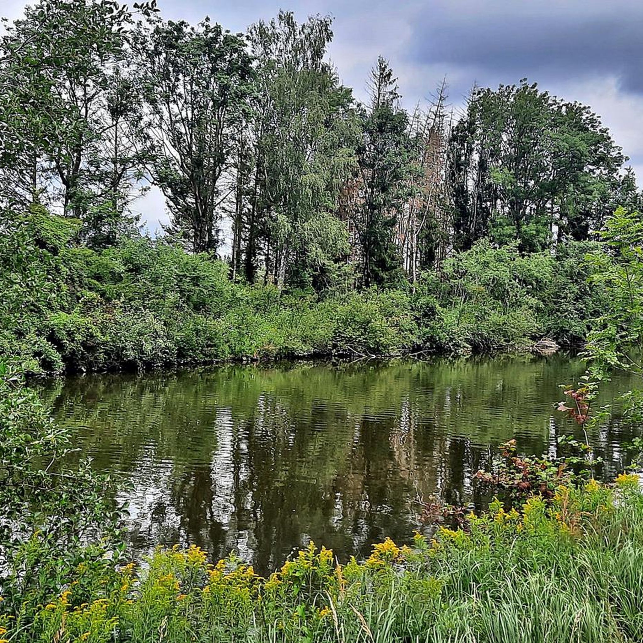
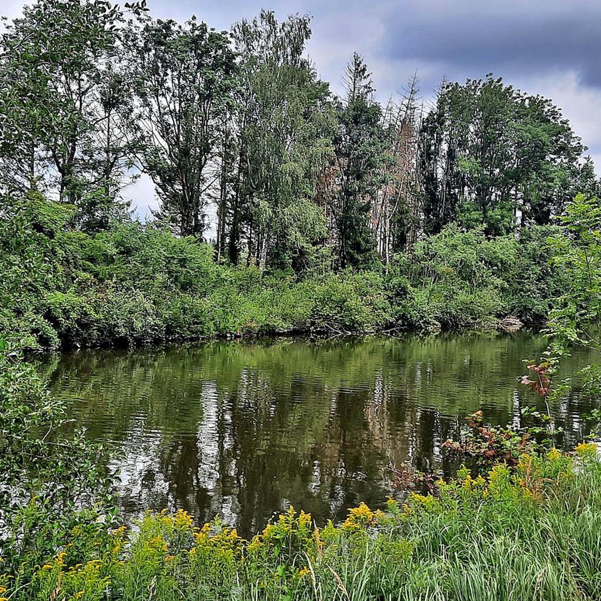
ヴェルタッハ川沿いのベンチループコース(Wehringenから出発)

5.47km

01:24

20m

20m

初級者向けハイキング. あらゆるフィットネスレベルに適しています。 進みやすいルートです。あらゆるスキルレベルに適しています。

デバイスでナビ

スマートフォンに送信

保存

初級

初級者向けハイキング. あらゆるフィットネスレベルに適しています。 進みやすいルートです。あらゆるスキルレベルに適しています。

初級
guide_signup
私たちがkomootモバイルアプリで道を示します
無料の komoot アカウントがあれば、無限のアウトドアコースを簡単に見つけてカスタマイズし、ナビで案内できます。

無料新規登録

初級者向けハイキング. あらゆるフィットネスレベルに適しています。 進みやすいルートです。あらゆるスキルレベルに適しています。

初級

初級者向けハイキング. あらゆるフィットネスレベルに適しています。 進みやすいルートです。あらゆるスキルレベルに適しています。

初級

初級者向けハイキング. あらゆるフィットネスレベルに適しています。 進みやすいルートです。あらゆるスキルレベルに適しています。

初級
無料新規登録すると、ヴェーリンゲンでのでのハイキングをさらに1,021件ご覧いただけます。

さらに多くのルートや他のユーザーのおすすめ情報を確認できます。

無料新規登録

すでにアカウントをお持ちですか?

おすすめのツアーは他のkomootユーザーが実際に経験した何千ものアクティビティに基づいています。

無料アカウントで今日から始めよう

次の冒険が待っています。
ログインまたは登録

ヴェーリンゲン周辺で人気

ヴェーリンゲンのロードバイクルート

ヴェーリンゲンでのサイクリング

ヴェーリンゲンのMTBトレイル

ヴェーリンゲンでののグラベルライド

ヴェーリンゲンのランニングコース

コミュニティからのヒント

Michael
6月 12, 2025, Benches by the Wertach River

Seating on the Wertach

Google翻訳による翻訳

0

0

Unfortunately, not much of this "brilliant view" can be seen anymore, as the young forest, with its bushes and shrubs, now obscures everything. Sitting on a park bench, all you see is forest. Things were different in 2020.

Google翻訳による翻訳

0

0

A small stream flows down the slope here. A small lake formed beneath it, which is now silted up and no longer visible. This pond was established as a spa in the 15th century by order of Bishop Frederick III. The Wehringen local history book lists the names and places of origin of 291 visitors (in 1548). The Leitenbad was presumably destroyed by the Swedes during the Thirty Years' War.

Google翻訳による翻訳

0

0

Pingen are funnel-shaped depressions in the terrain that were created by the near-surface mining of mineral resources such as ore or coal. These pits are the remains of historical mining activities in which the ore was mined directly on the surface or at a shallow depth. The miners followed the ore veins into the depths as far as was possible with simple means. When open-cast mining was no longer possible, the miners followed the ore veins into the interior of the mountains, sunk shafts (small shafts) and drove tunnels. There are several such historical pinge pits near Augsburg, particularly in the area of the Augsburg - Western Forests Nature Park. These relics of mining are now often covered by forest and offer interesting insights into the regional history of ore mining. Hiking trails, such as the St. James Pilgrimage Route from Augsburg to Reinhartshofen, lead past such pinge pits and enable hikers to discover these historical sites. For those interested, museums such as the Altenberg Mining Museum offer special tours of the pits, during which the origins and significance of these pits are explained. Such tours provide a vivid picture of historical mining and its impact on the landscape. The pits are not only evidence of past mining activities, but also valuable biotopes that provide a habitat for various plant and animal species. They are therefore important from both a historical and an ecological point of view.

Google翻訳による翻訳

2

0

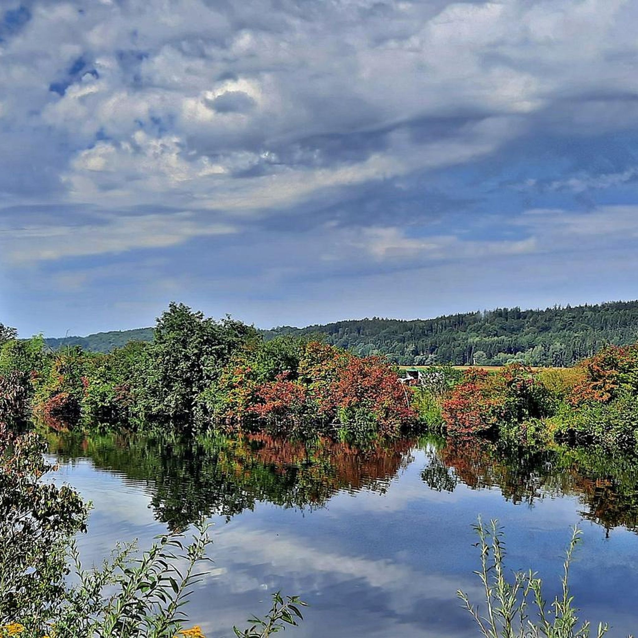
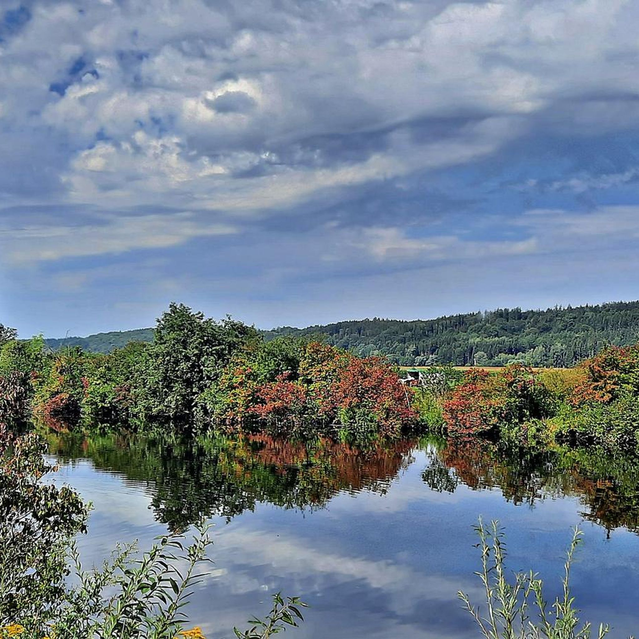
The region around Wehringen is ideal for hikes along the Wertach. A particularly recommended route leads through the Wertach valley near Wehringen, past idyllic places such as the bank idyll on the Wertach and the Turmkopf natural forest reserve. This route offers varied landscapes and is suitable for all fitness levels.

Google翻訳による翻訳

1

0

The Turmkopf natural forest reserve is located in the southern district of Augsburg, about 3 km southwest of the road from Bobingen to Straßberg. It covers an area of 14 hectares and was designated as a natural forest reserve in 1991. The area is located in the state forest and is managed by the Zusmarshausen forestry operation of the Bavarian State Forests. Location and soil composition: The reserve is located on a slope sloping eastwards towards the Wertach valley. The soils consist of sandy-gravelly marine deposits from the Tertiary period and wind-borne loess deposits from the Ice Age. There are both moderately fresh, gravelly soils and moister, loamy soils. Forest communities: In the upper areas, the woodruff-beech forest dominates on fresh, nutrient-rich sites. The moister and often steeper slope areas are characterized by the ground elder-sycamore-ash mixed forest. The admixture of spruce and Japanese larch indicates earlier forest management. Ecological features: The herb layer is home to typical forest species such as woodruff, Himalayan balsam, woody woundwort and mountain golden nettle. The reserve provides a habitat for the grey woodpecker and the stock dove. Numerous water outfalls and moist flattenings in the slopes are ideal for various snail and fungal species, including the uncut crystal snail and the Moravian coalberry. Forest development: The reserve has a 100 m x 100 m fenced research area. Regular studies are carried out there on the development of the trees, dead wood and forest regeneration. Between 2003 and 2013, the number of tree trunks remained almost constant at 390 trees per hectare, while the wood stock increased from 774 to 923 cubic meters per hectare. The deadwood proportion was recently at 17 cubic metres per hectare. The Turmkopf natural forest reserve is a valuable example of natural forest development in Bavaria and offers insights into the dynamics of near-natural forests.

Google翻訳による翻訳

1

0

Always worth a visit. Nice barbecue area with a fountain and great hiking trails.

Google翻訳による翻訳

2

0

Nice surprise for children and the young at heart

Google翻訳による翻訳

0

0

ヴェーリンゲンでのの人気ルート

ヴェーリンゲンのロードバイクルート

ヴェーリンゲンでのの人気観光スポット

Places to see

Store rating

komootモバイルアプリでインスピレーションを得よう

無料のkomootアカウントがあれば、無限のアウトドアコースを簡単に見つけてカスタマイズし、ナビで案内できます。

または

今すぐkomootに参加しよう

Store rating

さらに探索

他の地域の最高のハイキングを見てみましょう。

ボビンゲンラウアーの森ウェルデンゲッサーツハウゼンノイゼスStadtwald AugsburgツースマルスハウゼンシュヴァープミュンヘンケーニッヒスブルンKuhseeディードルフイルゼ湖ゲルストホーフェンティールハウプテンホルガウシュタットベルゲンディンケルシャーベンヴォルフツァーナウアルマンスホーフェンHaunstetter WaldミッテルノイフナッハアイシュテッテンマイティンゲンフィッシャッハRothseeガブリンゲンシャーシュテッテンミックハウゼンアルテンミュンスターグローサイティンゲンラングヴァイトアムレックビーバーバッハクライナイティンゲンアウトバーン湖シュメラーフォルスト地溝エルガウSiebentischwaldTrinkwasserschutzgebiet Augsburger Stadtwaldランゲノイフナッハエマースアッカーアーデルスリートヒルテンフィンゲンランゲルリンゲンクロスターレヒフェルトノルデンドルフウンターマイティンゲンオーバーオットマールスハウゼンキューレンタールヘレッツリートヴァルカーツホーフェンクッツェンハウゼンウスタースバッハ

近くのアドベンチャーガイド

ボビンゲンでやるべきこと

background

新しいピークを征服する準備をしよう

無料でサインアップ

探検する
ルートルートプランナー機能ハイキングMTBトレイルロードバイクルートバイクパッキングサイトマップ
アプリをダウンロード
SNSでフォローする

© komoot GmbH

プライバシーポリシー