ヴォルフツァーナウのおすすめウォーキング&ハイキングルート
4.5
(3427)
25,128
ハイカー
1,549
ハイキング
ヴォルフツァーナウ周辺で人気のウォーキングやハイキングをお探しですか?ヴォルフツァーナウが誇るこの美しい森周辺のルートを集めたkomootコレクションを参考にしてください。 ここでは、ヴォルフツァーナウ周辺の人気ハイキングコース&ウォーキングコースを紹介しています。魅力的なルートが見つかったら、さっそく冒険に出かけましょう。
最終更新日: 10月 14, 2026
4.8
(30)
115
ハイカー
3.63km
00:55
10m
10m
初級者向けハイキング. あらゆるフィットネスレベルに適しています。 進みやすいルートです。あらゆるスキルレベルに適しています。
4.0
(4)
19
ハイカー
5.81km
01:28
10m
10m
初級者向けハイキング. あらゆるフィットネスレベルに適しています。 進みやすいルートです。あらゆるスキルレベルに適しています。

4.0
(2)
19
ハイカー
6.58km
01:40
20m
20m
初級者向けハイキング. あらゆるフィットネスレベルに適しています。 進みやすいルートです。あらゆるスキルレベルに適しています。
15
ハイカー
5.15km
01:18
10m
10m
初級者向けハイキング. あらゆるフィットネスレベルに適しています。 進みやすいルートです。あらゆるスキルレベルに適しています。
10
ハイカー
4.65km
01:11
10m
10m
初級者向けハイキング. あらゆるフィットネスレベルに適しています。 進みやすいルートです。あらゆるスキルレベルに適しています。
さらに多くのルートや他のユーザーのおすすめ情報を確認できます。
すでにアカウントをお持ちですか?
おすすめのツアーは他のkomootユーザーが実際に経験した何千ものアクティビティに基づいています。
無料アカウントで今日から始めよう
次の冒険が待っています。
コミュニティからのヒント

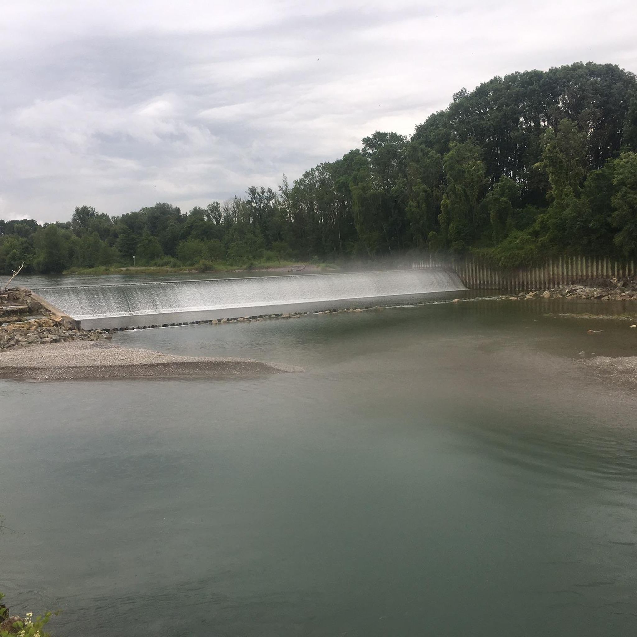
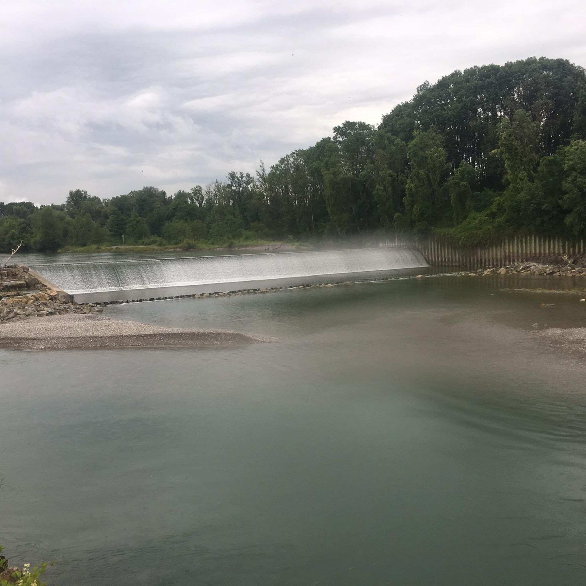
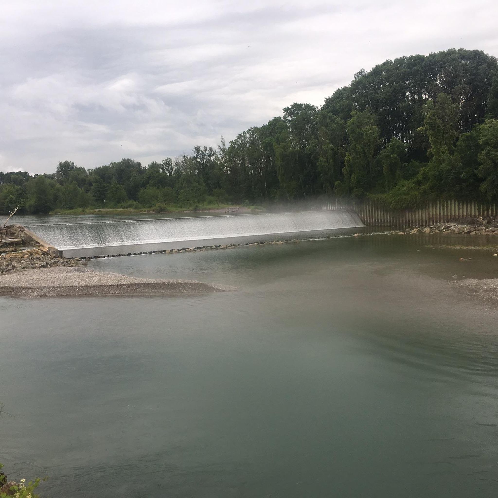
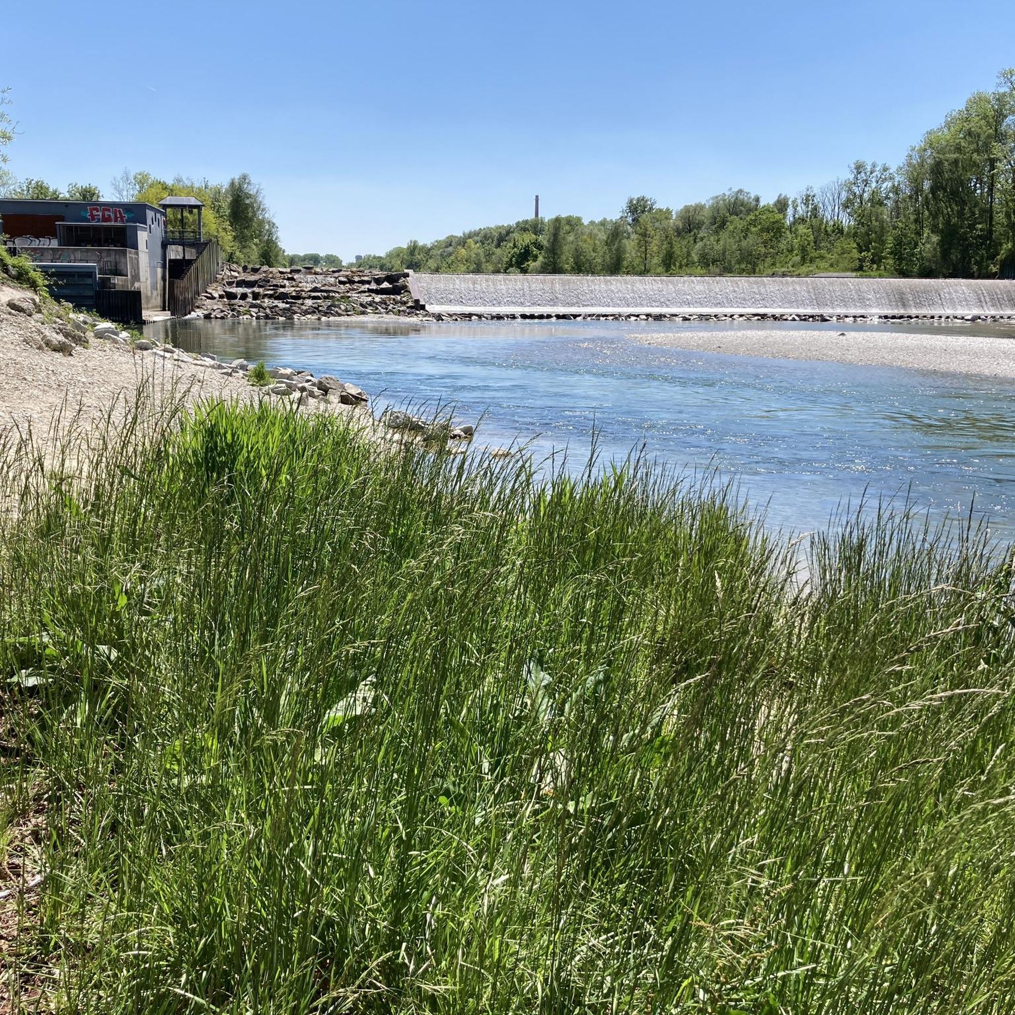
At the northern end of the Wolfzahnau, the Wertach River flows into the Lech River. The Lech and Wertach rivers converge in the Wolfzahnau – a landscape conservation area within the city of Augsburg, located on the western bank of the Lech River. The Lech carries greenish water, while the Wertach carries brownish water.
1
0

The Lech is a right tributary of the Danube. The 256 km long river originates in Vorarlberg in the Hochtannberg region at the confluence of the Spullerbach and Formarinbach streams in the Tannläger valley. It flows through Tyrol and southern Bavaria, where it empties into the Danube. Shortly before the Austrian-German border, it joins the Vils river, forms the artificial Lechfall near Füssen, and crosses Swabia and Upper Bavaria on its way. The largest cities on the Lech are Landsberg and Augsburg; in this city, it receives its largest tributary, the Wertach. The river empties into the Danube near Marxheim. Source: Wikipedia
1
0

Since 2014, a herd of Scottish Highland cattle has been grazing in the Wolfzahnau nature reserve.
0
0

A great way to spend a fun day with children. The trail is very varied.
0
0

The Wolfzahnau is a 76-hectare landscape conservation area in the north of Augsburg, nestled between the Lech and Wertach rivers. The distinctive shape of the headland is reminiscent of a wolf's tooth, which likely contributed to its name. Agriculture was still practiced here until the 1990s, but since 1998, nature conservation has been the priority. Today, primeval-like alluvial forests, wetlands, and open pastures characterize the area, which serves as a habitat for numerous animal and plant species.
1
0

A stark contrast to the nearby highway. Loud and hectic compared to the tranquility of nature.
3
0
From field to species-rich meadow Up until the 1990s, intensive farming took place on the meadow area in front of you. Then the city acquired the agricultural land and converted it into grassland. The aim was to develop a species-rich meadow. To do this, no fertilizers or pesticides were used and the areas were mowed no more than twice a year. This was a success, as numerous rare species, such as centaury, oxeye or helmet herb, have settled here. Living lawnmowers Since 2014, Scottish Highland cattle have been keeping the areas free of excessive grass and bushes. The robust animals are on the approximately 3.8 hectare area all year round. Their number is adjusted to the seasonal feed supply. The extensive grazing has a positive effect. The selective feeding and trampling of the grazing animals creates a richly structured plant population. The smooth transitions between dense forest and open pasture are particularly valuable. Species that depend on light and warmth particularly benefit from this.
1
0
The Wolfzahnauspitze marks the confluence of the Lech and Wertach rivers and offers an idyllic landscape in the Wolfzahnau nature reserve. A quiet place with impressive nature and views, ideal for relaxation and walks.
1
0

komootモバイルアプリでインスピレーションを得よう


