ハスリベルクの峠・トップ20
風景を楽しんだり、上りや下りを満喫したり、峠には楽しみ方がたくさんあります。ハスリベルクの素晴らしい峠の一覧を参照して、思い出に残るアドベンチャーに出かけましょう。コミュニティのメンバーがコミュニティのために投稿した峠のハイライトは、他のユーザーが実際におすすめする情報なので、どれも信頼できるものです。気に入った峠にさっそく向かってみましょう。
最終更新日: 8月 20, 2026
マイリンゲンからグローセ・シャイデックへ
ハイライト (セグメント) • 山道
翻訳者 Google •
役立つ情報 は

ブロッケンハウス・ブリューニグ峠頂上
ハイライト • 山道
翻訳者 Google •
役立つ情報 は

今すぐサインアップして、こんな場所を発見しよう
最高のシングルトラック、ピーク、その他のエキサイティングなアウトドアスポットのおすすめを受け取ろう。
無料新規登録
ブリューニク峠の景観ルート
ハイライト • 山道
翻訳者 Google •
役立つ情報 は

インナートキルヒェンからスステン峠
ハイライト (セグメント) • 山道
翻訳者 Google •
役立つ情報 は

グラウベンビーレン峠
ハイライト • 山道
翻訳者 Google •
役立つ情報 は

無料でサインアップして、さらに多くの山道を発見しましょう ハスリベルクでの。
無料新規登録
すでにアカウントをお持ちですか?
無料アカウントで今日から始めよう
次の冒険が待っています。
ログインまたは登録
コミュニティからのヒント

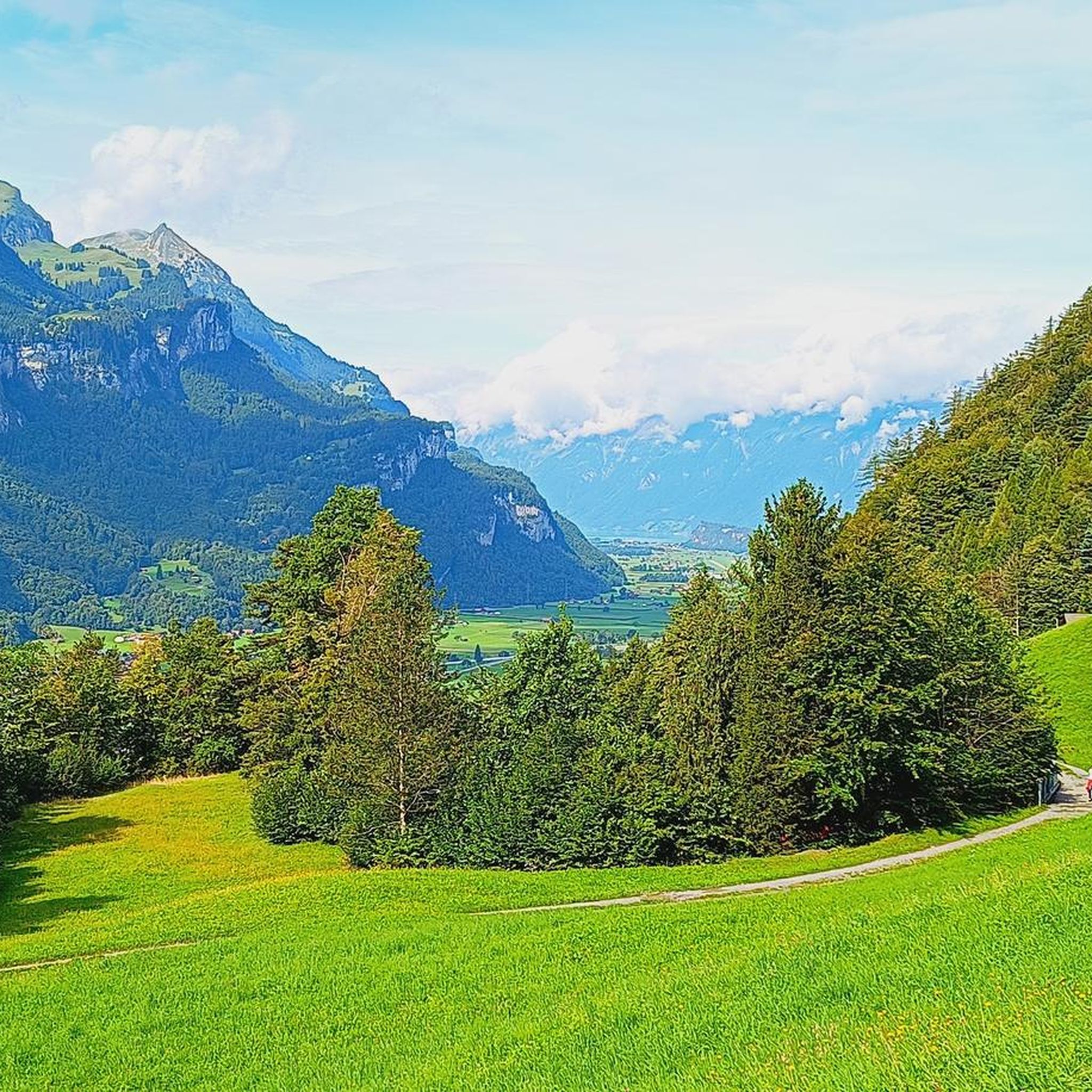
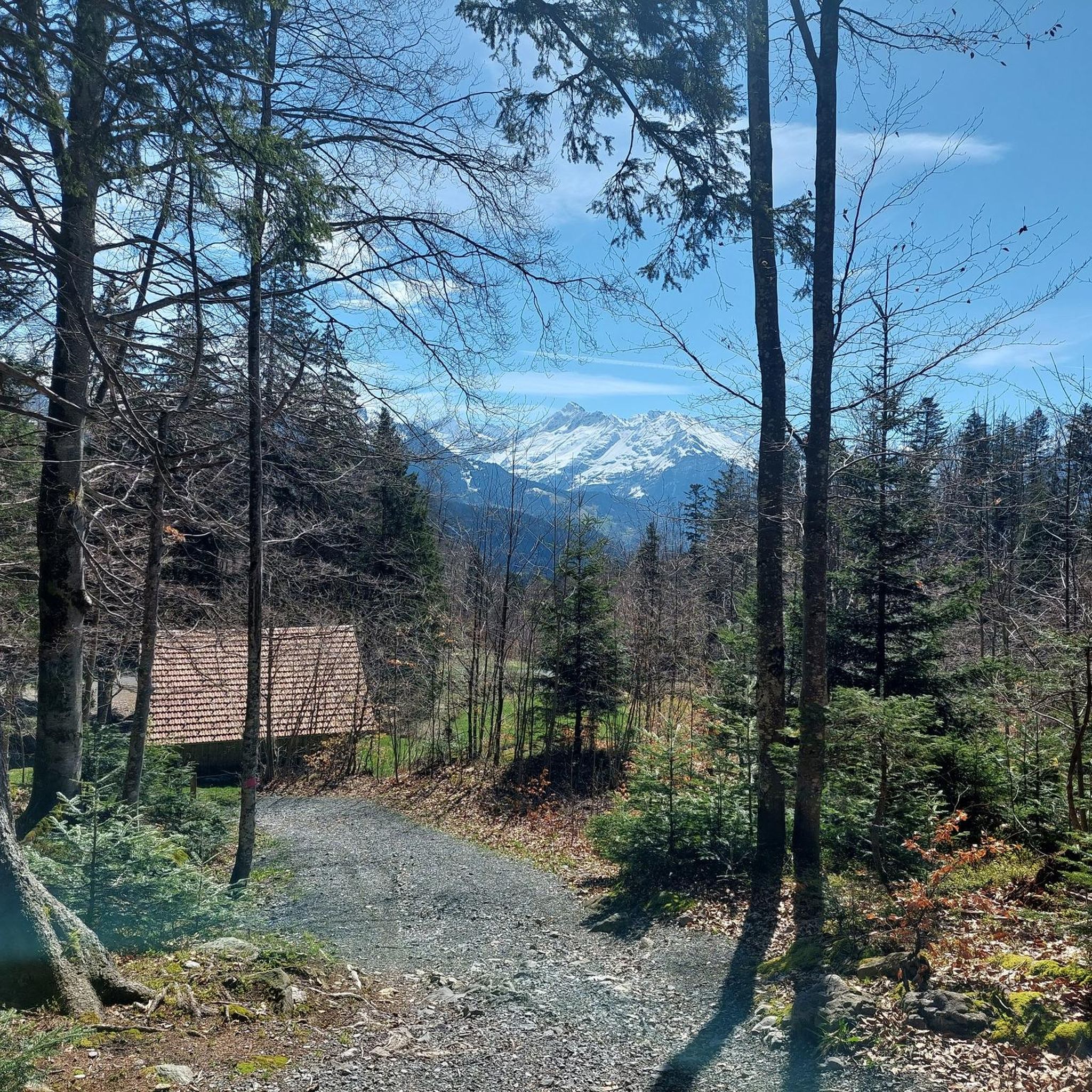
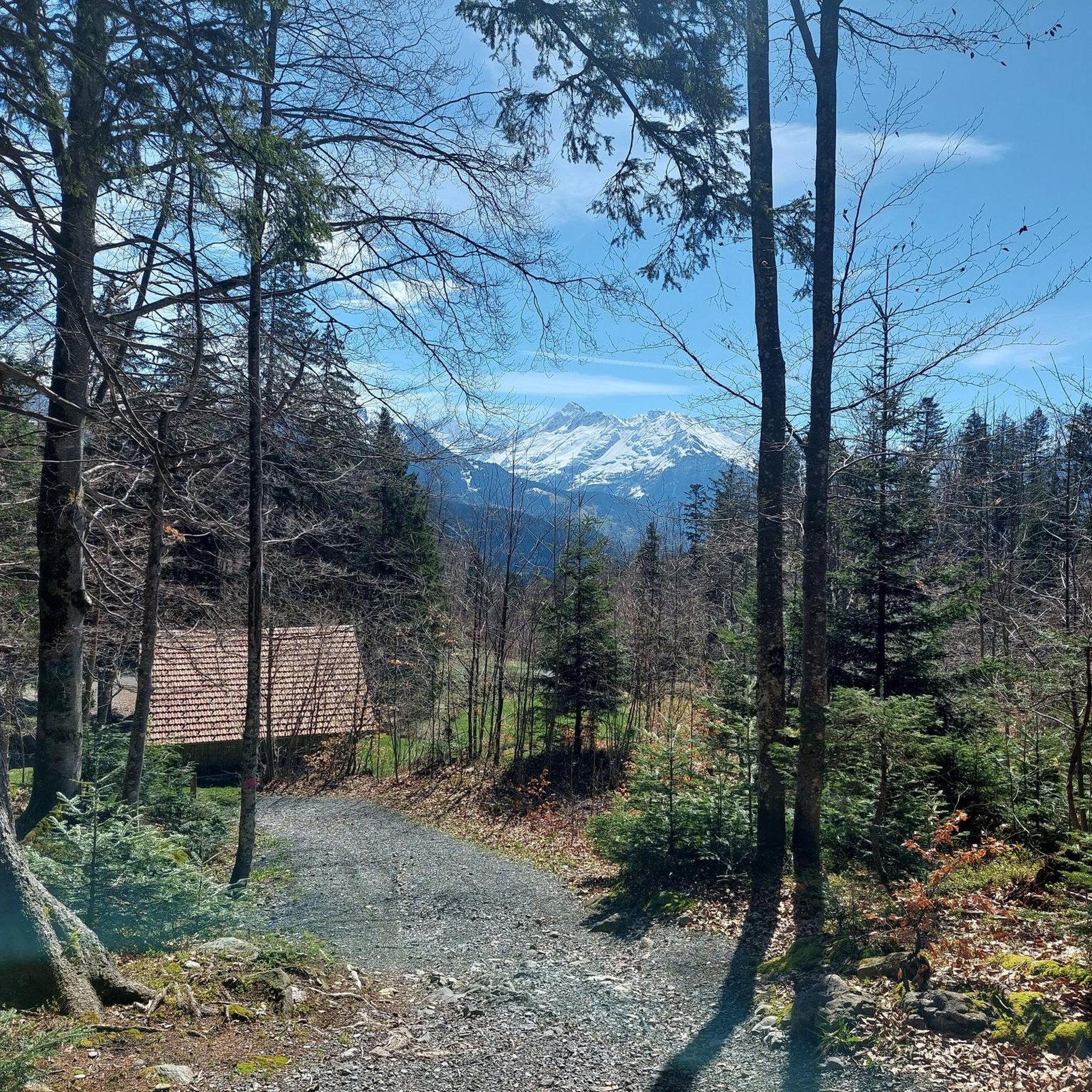
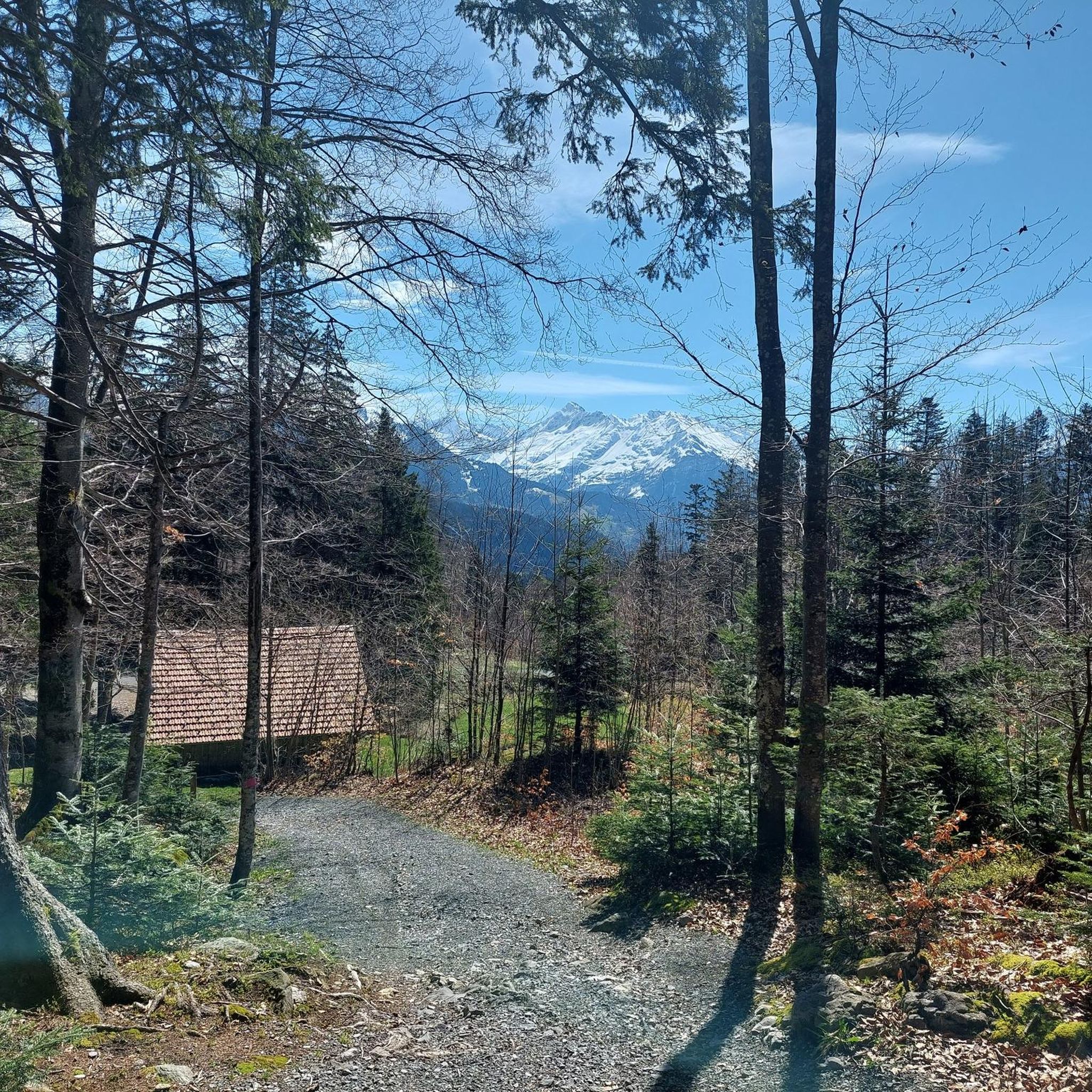
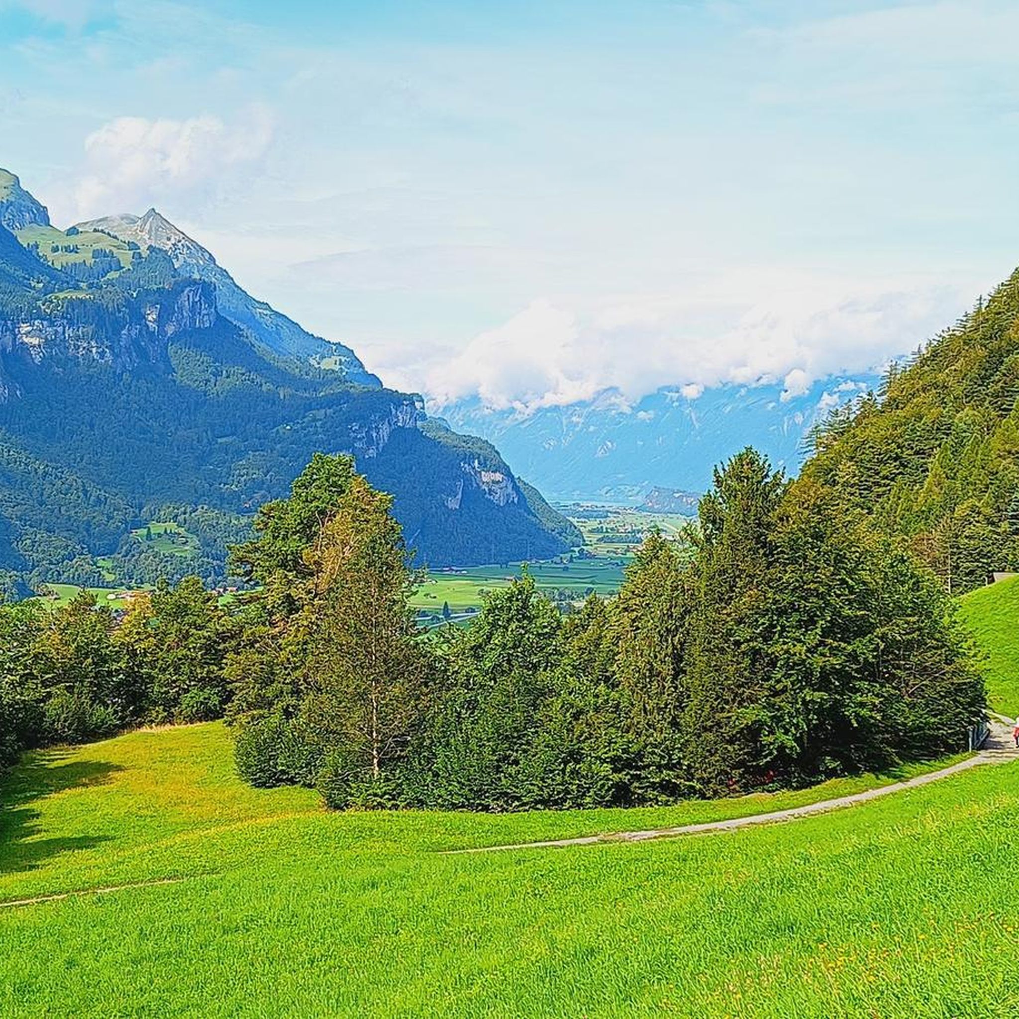
A small mountain pass between the cantons of Obwalden, from Giswil and Lucerne to Sörenberg. The route is narrow on the Obwalden side and in places only single-track, stretching with a very constant gradient of 8 to 12% over meadow slopes and forest up to the highest point. From the Lucerne side, starting at the Brienz Rothorn cable car valley station, it is also only two-track. The highest point is somewhat unspectacular, situated in the sparse mountain forest at the foot of a rock face; the actual pass summit is somewhat lower on the Lucerne side, where there is also a small kiosk.
0
0
A small mountain pass between the cantons of Obwalden and Lucerne, from Giswil to Sörenberg. The route is narrow on the Obwalden side and in places only single-track, stretching at a very constant gradient of 8 to 12% over meadow slopes and forest up to the highest point. From the Lucerne side, starting at the Brienz Rothorn cable car valley station, it is also only two-track. The highest point is somewhat unspectacular, situated in the sparse mountain forest at the foot of a rock face; the actual pass summit is somewhat lower on the Lucerne side, where there is also a small kiosk.
0
0

As of the end of May 2025, the side road from Lungern train station to the wrestling arena on Brünig Pass is paved throughout. Only 20 meters at the Chäppeli parking lot are still compact gravel. For those who value their lives, take this route and not the Brünig road (N/A8) over the pass.
10
0

In summer, there's a lot of traffic over Brünig. Those who prefer a quieter climb can take this route, but you'll have to push your road bike a short distance over gravel – or if you're not afraid of getting a flat tire, you can just ride over it. Another advantage: the scenery is much more scenic than the main road. But be sure to take the main road downhill.
0
0

Brünig Pass (1008 m above sea level) There is some historical evidence of the Brünig Pass dating back to 1304. These include agreements, protective alliances, regulations regarding property, etc. between Obwalden and Oberhasler. The trade routes from Bern via Thun and Lucerne via Brünig met in Meiringen. They then continued over the Grimsel, Griespass to Lombardy. The main export was Sbrinz cheese, which is why this trade route was called the Sbrinz Route. The transport was carried out exclusively by mule drivers. This was a profitable venture until the beginning of the 19th century. With the development of various passes with roads, it lost importance and the opening of the Gotthard Railway in 1882 brought mule traffic to a complete standstill. Today, interested parties can experience the mule traffic on the Sbrinz route in the summer months. Construction of the Brünigstrasse began in 1857. The Brünigbahn opened in 1888. This cog railway runs over the summit of the Brünig Pass (1008 m above sea level) from Lucerne to Meiringen and Interlaken. Text / Source: Interest Group for Alpine Passes IAP, PO Box 11, 6491 Realp https://www.alpen-paesse.ch/alpenpaesse/bruenigpass/
14
0

This side road to Brünig has a short stretch of gravel, about 200m-300m, the rest is asphalt or concrete. No problem going up and down with a gravel bike or mountain bike. Racers with 30 or 28 inch wheels should also be fine, but probably not with an aero racer. But it is certainly a good alternative to the main pass road.
1
0

Very beautiful pass. Quite tough with a 10% gradient from Giswil.
1
0

A great feeling to be up there. About 300m further in the direction of Sörenberg there is a parking lot where you can rest better and buy local cheese. If you don't want to drive any further, you can also get on the post bus here.
1
0

komootモバイルアプリでインスピレーションを得よう


