ルート

プランナー

機能

アップデート

App

ログインまたはサインアップ

アプリを入手

ログインまたはサインアップ

ログインまたはサインアップ

ルート
Places to see
Mountain passes
スイス
エスパスミッテルランド
インターラーケンオーバーハスリ

ガトメン

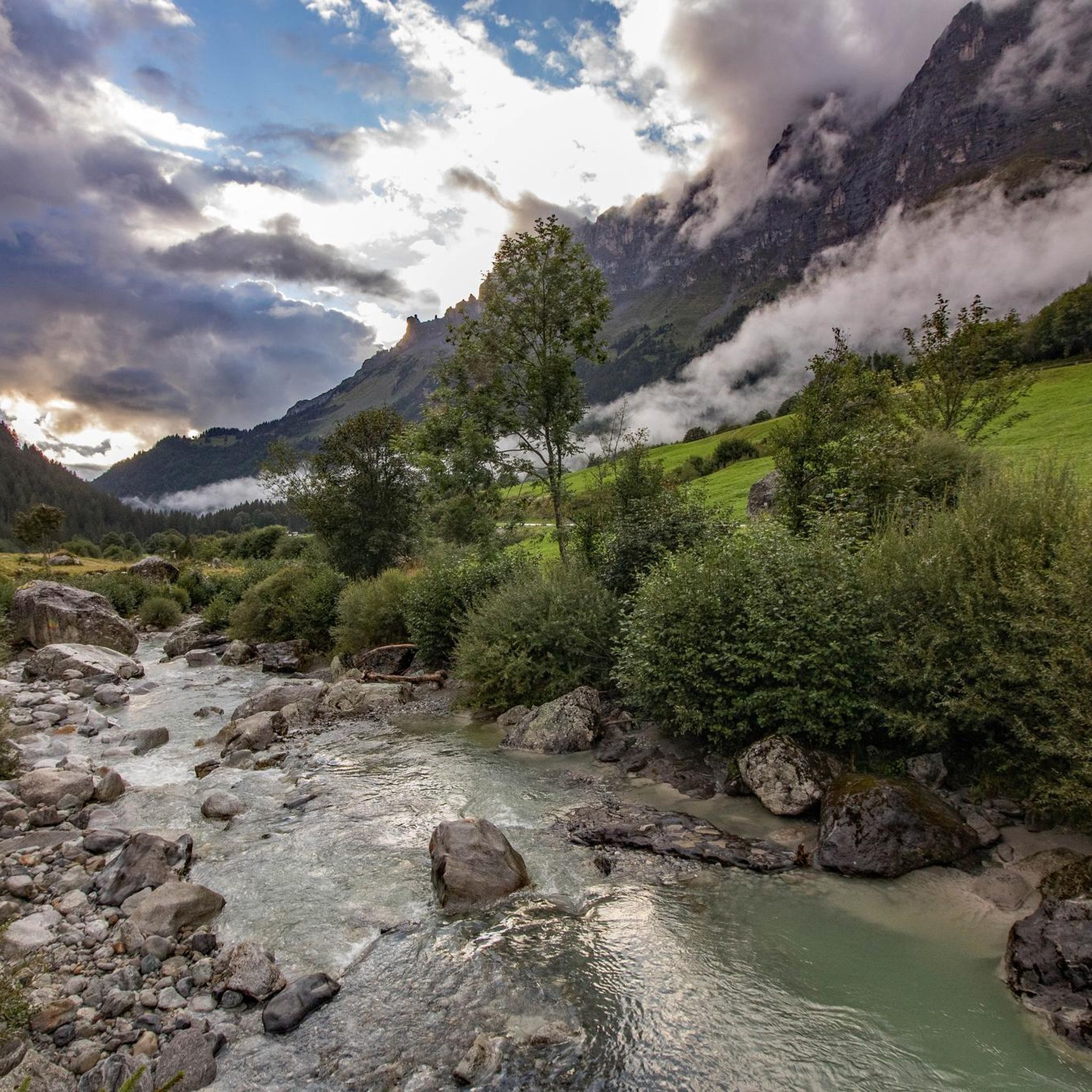
ガトメンの峠・トップ20

風景を楽しんだり、上りや下りを満喫したり、峠には楽しみ方がたくさんあります。ガトメンの素晴らしい峠の一覧を参照して、思い出に残るアドベンチャーに出かけましょう。コミュニティのメンバーがコミュニティのために投稿した峠のハイライトは、他のユーザーが実際におすすめする情報なので、どれも信頼できるものです。気に入った峠にさっそく向かってみましょう。

最終更新日: 5月 13, 2026

フルカ峠

ハイライト • 山道

The Furkapasshöhe is at 2,436 meters and is a popular destination for hikers, cyclists and drivers. Not far is the Hotel Furkablick, which has seen its prime, is slowly decaying …

翻訳者 Google •

役立つ情報

によるものです

ここでのライドを見る

スマートフォンに送信

保存

In the small parking lot next to the pass road, a street sign commemorates an absolute classic in James Bond film history: the chase in the Swiss Alps in the film Goldfinger from 1965.

翻訳者 Google •

役立つ情報

によるものです

保存

今すぐサインアップして、こんな場所を発見しよう

最高のシングルトラック、ピーク、その他のエキサイティングなアウトドアスポットのおすすめを受け取ろう。

無料新規登録

アルテ・グリムゼルパス通り

ハイライト (セグメント) • 山道

Since the tunnel on the Grimsel Pass road is only accessible by bike downhill, you'll have to take the old pass road. However, it's not a must, as the path, …

翻訳者 Google •

役立つ情報

によるものです

保存

グレッチからフルカ峠

ハイライト (セグメント) • 登山

The Furka Pass forms the border between the two Swiss cantons of Uri and Valais and crosses the mighty Rhône Glacier. It takes you to an altitude of 2,436 meters …

翻訳者 Google •

役立つ情報

によるものです

保存

Speaking of the Grimsel Pass:
The Grimsel Pass is in the heart of the Alps, an exceptional natural area. From a hydrological point of view, the large amounts of precipitation …

翻訳者 Google •

役立つ情報

によるものです

保存

無料でサインアップして、さらに多くの山道を発見しましょう ガトメンでの。

無料新規登録

すでにアカウントをお持ちですか?

無料アカウントで今日から始めよう

次の冒険が待っています。

ログインまたは登録

ガトメン周辺で人気

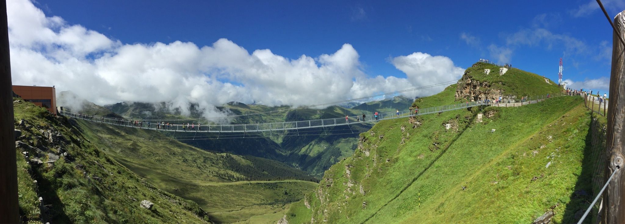
Spectacular suspension bridges

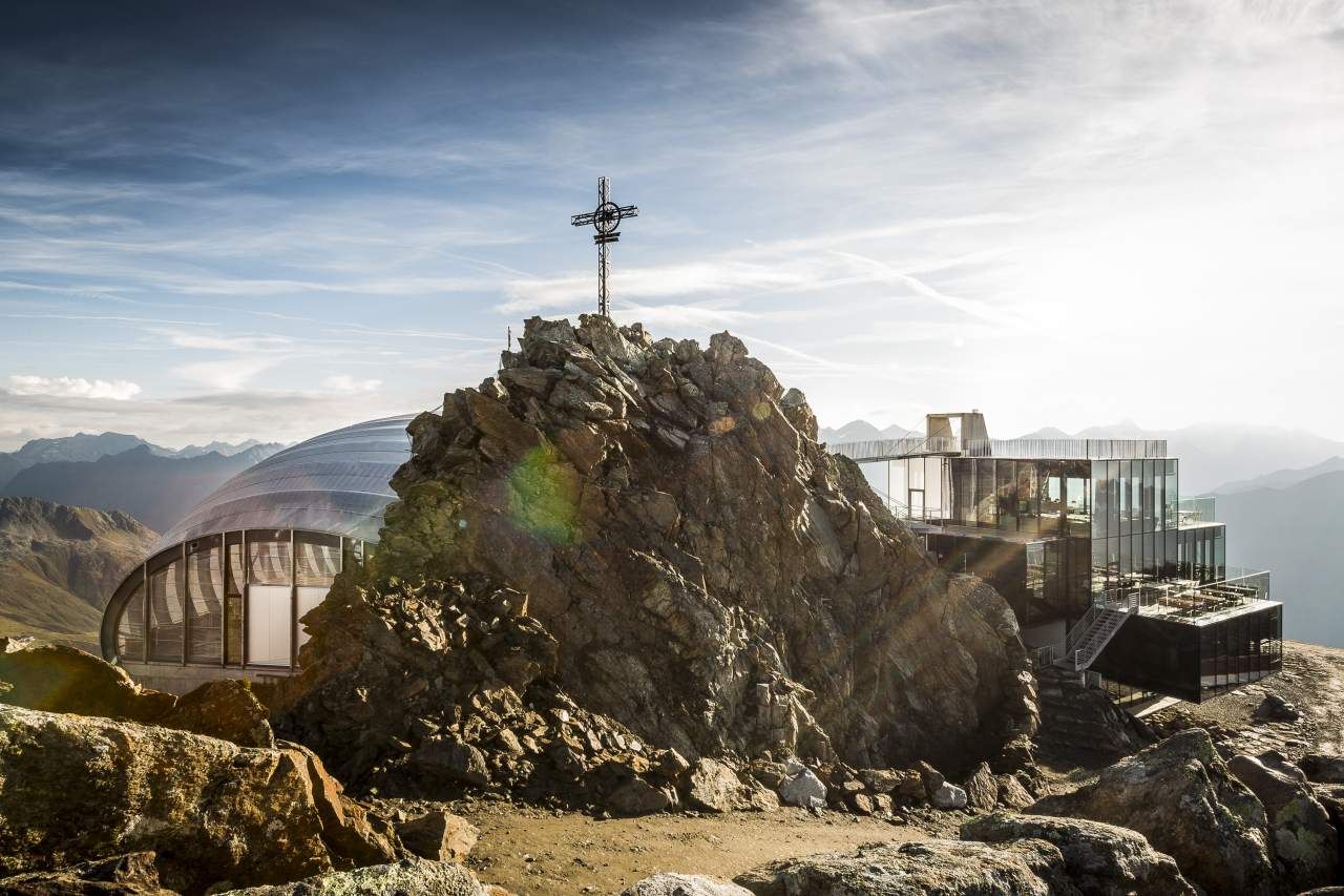
Into the Alps with 007

ガトメンでのハイキング

ガトメンでのサイクリング

ガトメンのロードバイクルート

ガトメンのMTBトレイル

ガトメンでの登山&山歩き

ガトメンのランニングコース

ガトメンでののグラベルライド

ガトメンでのの他の冒険

Spectacular suspension bridges

ハイキングのコレクション によって

komoot

コミュニティからのヒント

Roger Eggenberger 🐾👣
10月 17, 2025, Furka Pass

The Furka Pass is a 2,429 m high Swiss road pass in the Alps. It connects the Urseren Valley (the upper valley of the Reuss River) in the canton of Uri with the Goms district in the canton of Valais. It straddles the European watershed between the Mediterranean Sea and the North Sea. Source: Furka Pass – Wikipedia https://share.google/zJGI3KsPRtARfpYje

Google翻訳による翻訳

6

0

The classic ascent to the Furka Pass is the eastern route from Realp, which is also often used in the Tour de Suisse. At the edge of Realp, you pass the access point for the historic Furka Railway and can already see the adventurous road climbing upwards. It quickly becomes clear that this pass is by no means an easy one, as the lower section, which is winding, boasts double-digit gradients.

Google翻訳による翻訳

2

0

Since the tunnel on the Grimsel Pass road is only accessible by bike downhill, you'll have to take the old pass road. However, it's not a must, as the path, part of which is cobblestone, is much more beautiful and spectacular anyway.

Google翻訳による翻訳

2

0

冬には、交通渋滞もなく、この有名なカーブまで快適にハイキングできます。ショーン・コネリー主演のジェームズ・ボンド映画のシーンがここで撮影されました。残念ながら、冬の間は記念碑は覆われています。 https://www.blick.ch/people-tv/kino/sean-connery-und-die-schweiz-der-furkapass-ging-mit-ihm-um-die-welt-id16172402.html

Google翻訳による翻訳

0

0

A scene for the James Bond film “Goldfinger” was shot on the Furka Pass road in 1964. The focus was on a wide curve on the Uri side of the Furka Pass, which is now called the “James Bond Goldfinger curve”.

Google翻訳による翻訳

1

0

A scene for the James Bond film “Goldfinger” was shot on the Furka Pass road in 1964. The focus was on a wide curve on the Uri side of the Furka Pass, which is now called the “James Bond Goldfinger curve”.

Google翻訳による翻訳

1

0

Speaking of the Grimsel Pass: The Grimsel Pass is in the heart of the Alps, an exceptional natural area. From a hydrological point of view, the large amounts of precipitation are unique. Here at the Grimsel Pass, this is an average of around 2300 litres per square metre per year. 300 litres of this evaporate per square metre, and 2000 litres per square metre leave the region as runoff in the Rhone or Aare. That is a lot of water: twice as much as the Swiss average and almost seven times as much as the average in Germany. Depending on which side of the pass the water drops reach the earth's surface, they flow into the Mediterranean or the North Sea. The Aare, with a total length of around 290 km, flows through the cantons of Bern, Solothurn and Aargau, crossing Lake Brienz, Lake Thun and Lake Biel. It is the longest river located entirely in Switzerland. Although the Aare carries more water on average at the confluence with the Rhine, it loses its name. After another 1000 km of flow, the Aare water flows into the North Sea as part of the Rhine. The Rhone, on the other hand, keeps its name until it flows into the Mediterranean. Its approximately 810 km long flow takes it through the Valais into Lake Geneva and from there via Lyon into the French Rhone Valley, where it repeatedly receives tributaries from the Western Alps. While the Aare flows into an oceanic climate, the Rhone carries the water from the Grimsel Pass into the Mediterranean climate zone, where the abundant snow and glacier meltwater from alpine rivers is very popular in the dry summers.

Google翻訳による翻訳

2

0

Monument at the Atlantic / Mediterranean watershed

Google翻訳による翻訳

1

0

ガトメンでのの人気ルート

ガトメンでのハイキング

ガトメンでのの人気観光スポット

Places to see

Store rating

komootモバイルアプリでインスピレーションを得よう

無料のkomootアカウントがあれば、無限のアウトドアコースを簡単に見つけてカスタマイズし、ナビで案内できます。

または

今すぐkomootに参加しよう

Store rating

さらに探索

これらのガイドでさらに壮大な山道を見てみましょうガトメンでの:

インターラーケングッタネンシャッテンハルブマイリンゲンインナートキルヒェンハスリベルクブリエンツヴィラー

近くのアドベンチャーガイド

トリフト湖でやるべきこと

background

新しいピークを征服する準備をしよう

無料でサインアップ

探検する
ルートルートプランナー機能ハイキングMTBトレイルロードバイクルートバイクパッキングサイトマップ
アプリをダウンロード
SNSでフォローする

© komoot GmbH

プライバシーポリシー