インターラーケンオーバーハスリの峠・トップ20
風景を楽しんだり、上りや下りを満喫したり、峠には楽しみ方がたくさんあります。インターラーケンオーバーハスリの素晴らしい峠の一覧を参照して、思い出に残るアドベンチャーに出かけましょう。コミュニティのメンバーがコミュニティのために投稿した峠のハイライトは、他のユーザーが実際におすすめする情報なので、どれも信頼できるものです。気に入った峠にさっそく向かってみましょう。
最終更新日: 10月 13, 2026
グローセ・シャイデック
ハイライト • 山道
grosse-scheidegg.ch
翻訳者 Google •
役立つ情報 は

クライネ・シャイデック
ハイライト • 山道
翻訳者 Google •
役立つ情報 は

今すぐサインアップして、こんな場所を発見しよう
最高のシングルトラック、ピーク、その他のエキサイティングなアウトドアスポットのおすすめを受け取ろう。
ユングフラウヨッホ
ハイライト • 山頂
翻訳を表示中
役立つ情報 は

マイリンゲンからグローセ・シャイデックへ
ハイライト (セグメント) • 山道
翻訳者 Google •
役立つ情報 は

レートゲスリ峠
ハイライト • 山道
翻訳者 Google •
役立つ情報 は

セフィネンフルゲのサドル
ハイライト • 山道
翻訳者 Google •
役立つ情報 は

マイリンゲンからグローセ・シャイデックへの登り
ハイライト (セグメント) • 登山
翻訳者 Google •
役立つ情報 は

アルテ・グリムゼルパス通り
ハイライト (セグメント) • 山道
翻訳者 Google •
役立つ情報 は

ブロッケンハウス・ブリューニグ峠頂上
ハイライト • 山道
翻訳者 Google •
役立つ情報 は

グリムセル峠の大陸分水嶺記念碑
ハイライト • 記念碑
The Grimsel Pass is in the heart of the Alps, an exceptional natural area. From a hydrological point of view, the large amounts of precipitation …
翻訳者 Google •
役立つ情報 は

無料でサインアップして、さらに多くの山道を発見しましょう インターラーケンオーバーハスリでの。
すでにアカウントをお持ちですか?
無料アカウントで今日から始めよう
次の冒険が待っています。
インターラーケンオーバーハスリ周辺で人気
スイスが提供するすべて - アーレルート
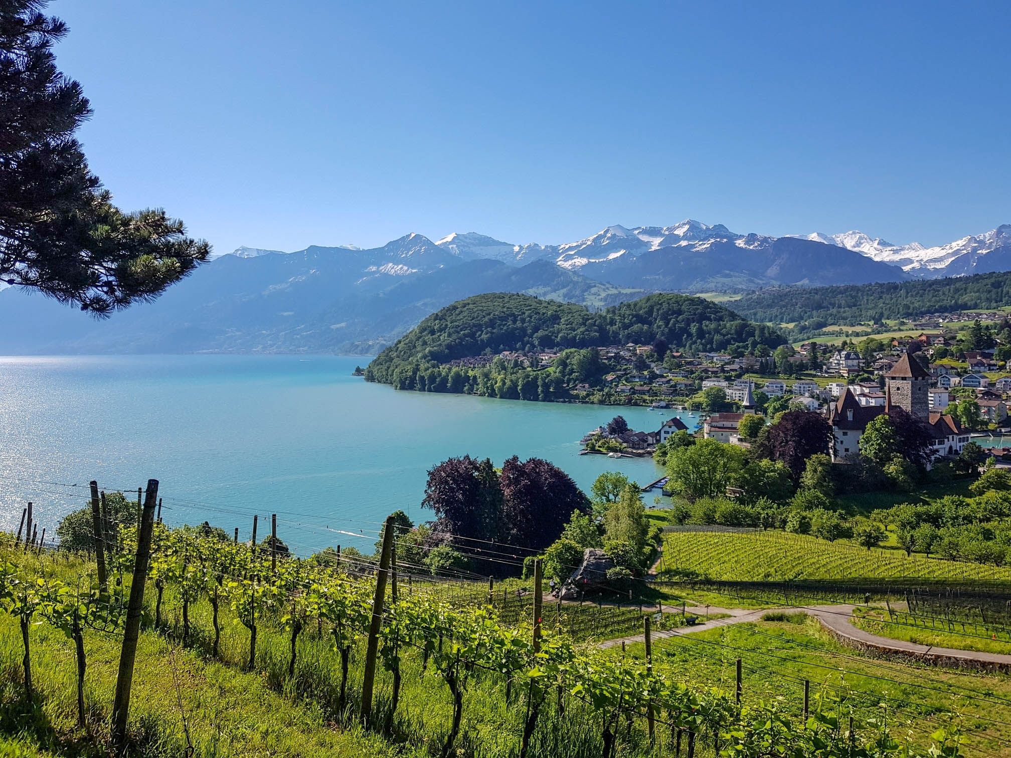
スイスのスーン湖を囲むパノラマ帯状トレイル - レイクビューがたまにならない

スイスのバイクパッキング希望1000の11ステージ
バーンとルツェルンの間をハイキング - ナプフベルクラント境界トレイル
スイスアルプス前山地の画集のような景色 – レイクスルート
Via Alpina - サーシラバールが一十の目的なる証程

Following the Way of St James across Switzerland – Via Jacobi
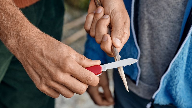
Discover Grindelwald with the Victorinox Huntsman
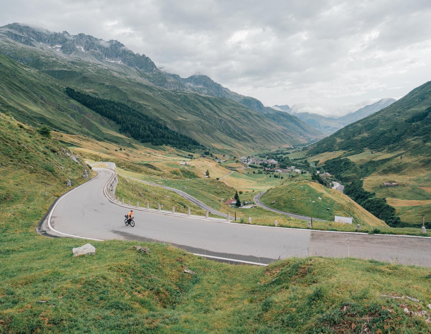
中央スイスを発見してください – ルート1291をサイクリングしてください
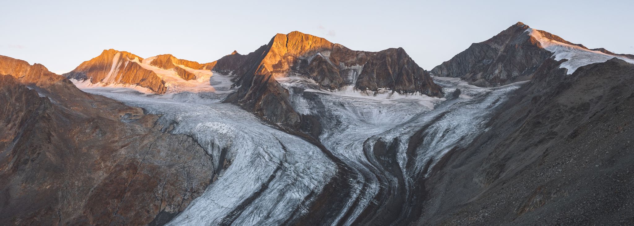
アルプスの溶融巨人へのハイキング
インターラーケンオーバーハスリでのの他の冒険


コミュニティからのヒント

スフィンクス展望台からは、ユネスコ世界自然遺産であるユングフラウ・アレッチュ・スイスアルプスに属する、広大なアレッチュ氷河の永遠の氷の印象的な眺めを楽しむことができます。
10
0

Prepare your legs, be careful, some steps are broken
1
0

A very beautiful route without cars. Only the post office/public bus is allowed to travel here. A suitable gear is recommended, though. There are four or five fountains for refilling water up to Gr. Scheidegg – perfect.
0
0

6月4日のアップデート:ルートは約2メートルの不安定な雪に覆われています。トレイルの標識は見えません、雪に覆われたステップも見えません。多くの雪の橋(特に峠のGriesalp側で危険)。良い天気でも危険な状況。登山用具(アイゼンとピッケルは必須!)を使ったエキスパートハイキング、単独では行わないでください。楽しんでください!
2
1

Since the tunnel on the Grimsel Pass road is only accessible by bike downhill, you'll have to take the old pass road. However, it's not a must, as the path, part of which is cobblestone, is much more beautiful and spectacular anyway.
2
0

Brünig Pass (1008 m above sea level) There is some historical evidence of the Brünig Pass dating back to 1304. These include agreements, protective alliances, regulations regarding property, etc. between Obwalden and Oberhasler. The trade routes from Bern via Thun and Lucerne via Brünig met in Meiringen. They then continued over the Grimsel, Griespass to Lombardy. The main export was Sbrinz cheese, which is why this trade route was called the Sbrinz Route. The transport was carried out exclusively by mule drivers. This was a profitable venture until the beginning of the 19th century. With the development of various passes with roads, it lost importance and the opening of the Gotthard Railway in 1882 brought mule traffic to a complete standstill. Today, interested parties can experience the mule traffic on the Sbrinz route in the summer months. Construction of the Brünigstrasse began in 1857. The Brünigbahn opened in 1888. This cog railway runs over the summit of the Brünig Pass (1008 m above sea level) from Lucerne to Meiringen and Interlaken. Text / Source: Interest Group for Alpine Passes IAP, PO Box 11, 6491 Realp https://www.alpen-paesse.ch/alpenpaesse/bruenigpass/
15
0

インターラーケンオーバーハスリでのの人気ルート
インターラーケンオーバーハスリでのの人気観光スポット

komootモバイルアプリでインスピレーションを得よう


探していたものは見つかりませんでしたか?
地域ごとに整理されたさらに素晴らしい山道を見つけましょうインターラーケンオーバーハスリでの:
さらに探索
これらのガイドでさらに壮大な山道を見てみましょうインターラーケンオーバーハスリでの:
