クリンゲンタール周辺のアトラクション&必見スポット - トップ20
クリンゲンタールには必見のスポットがたくさんあります。ハイキング愛好家やサイクリング愛好家の方は、ぜひクリンゲンタールを探索してこのエリアにある20
の隠れたスポットを訪れてみてください。このエリアの必見スポットを確認し、次の冒険に出かける計画を立てましょう。
最終更新日: 8月 30, 2026
ファルケンシュタインダム
ハイライト • 湖
翻訳者 Google •
役立つ情報 は

ムルデンベルクダム(タールスペレ・ムルデンベルク)
ハイライト • 記念碑
翻訳者 Google •
役立つ情報 は

今すぐサインアップして、こんな場所を発見しよう
最高のシングルトラック、ピーク、その他のエキサイティングなアウトドアスポットのおすすめを受け取ろう。
無料新規登録
カールスフェルトダム(ヴィルツシュダム)
ハイライト • 湖
翻訳者 Google •
役立つ情報 は

フォークトラント湖の南岸
ハイライト • 湖
翻訳者 Google •
役立つ情報 は


無料アカウントで今日から始めよう
次の冒険が待っています。
ログインまたは登録
クリンゲンタール周辺で人気
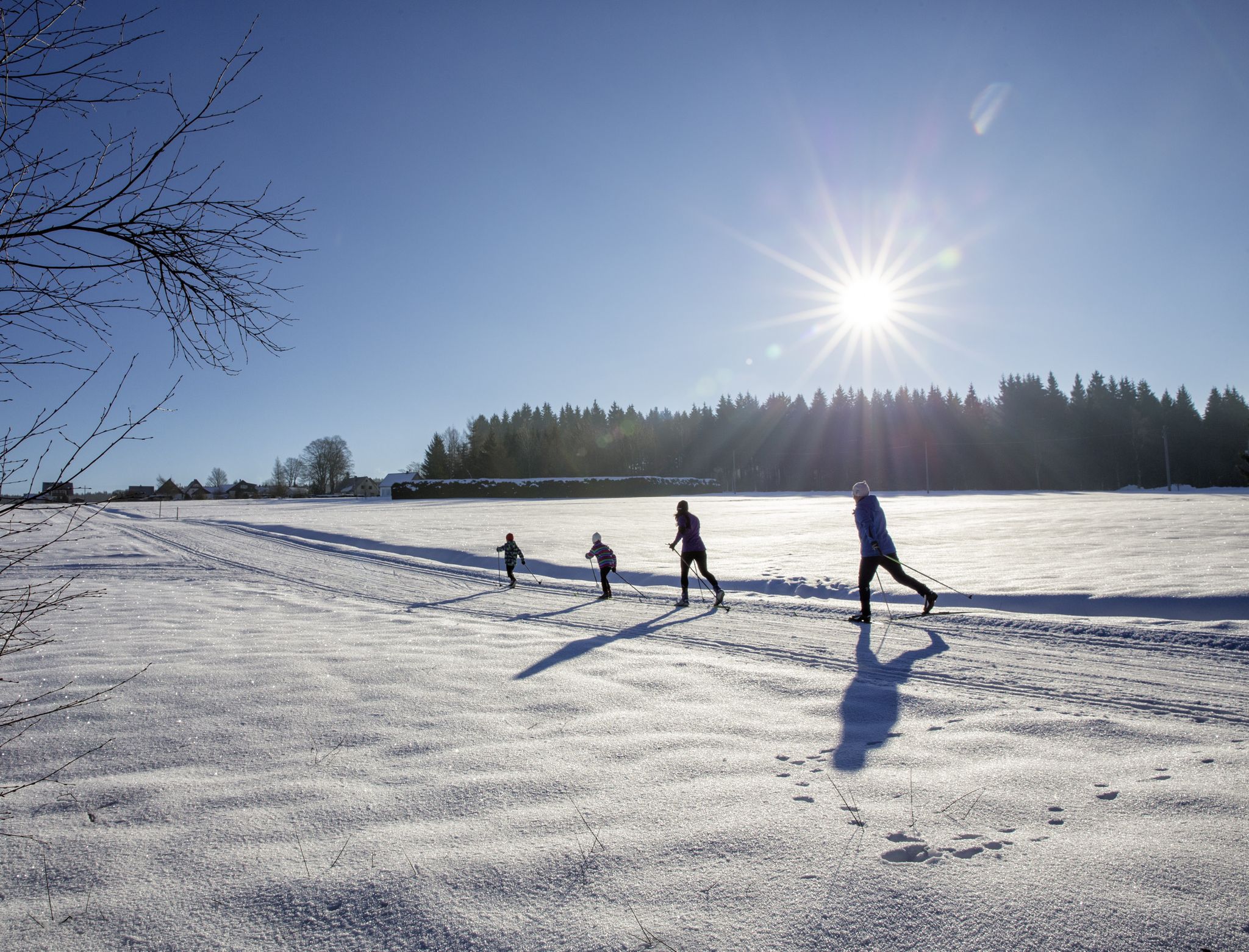
A snowy paradise – winter hiking and cross-country skiing in Germany’s Vogtland
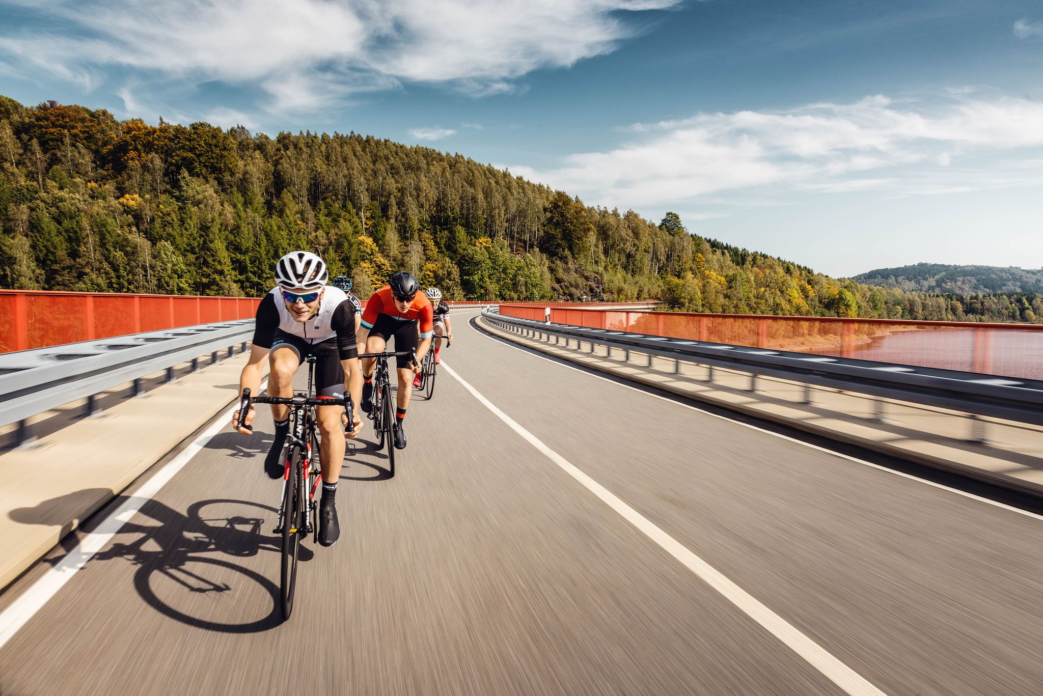
Pure road and gravel riding joy through Saxony
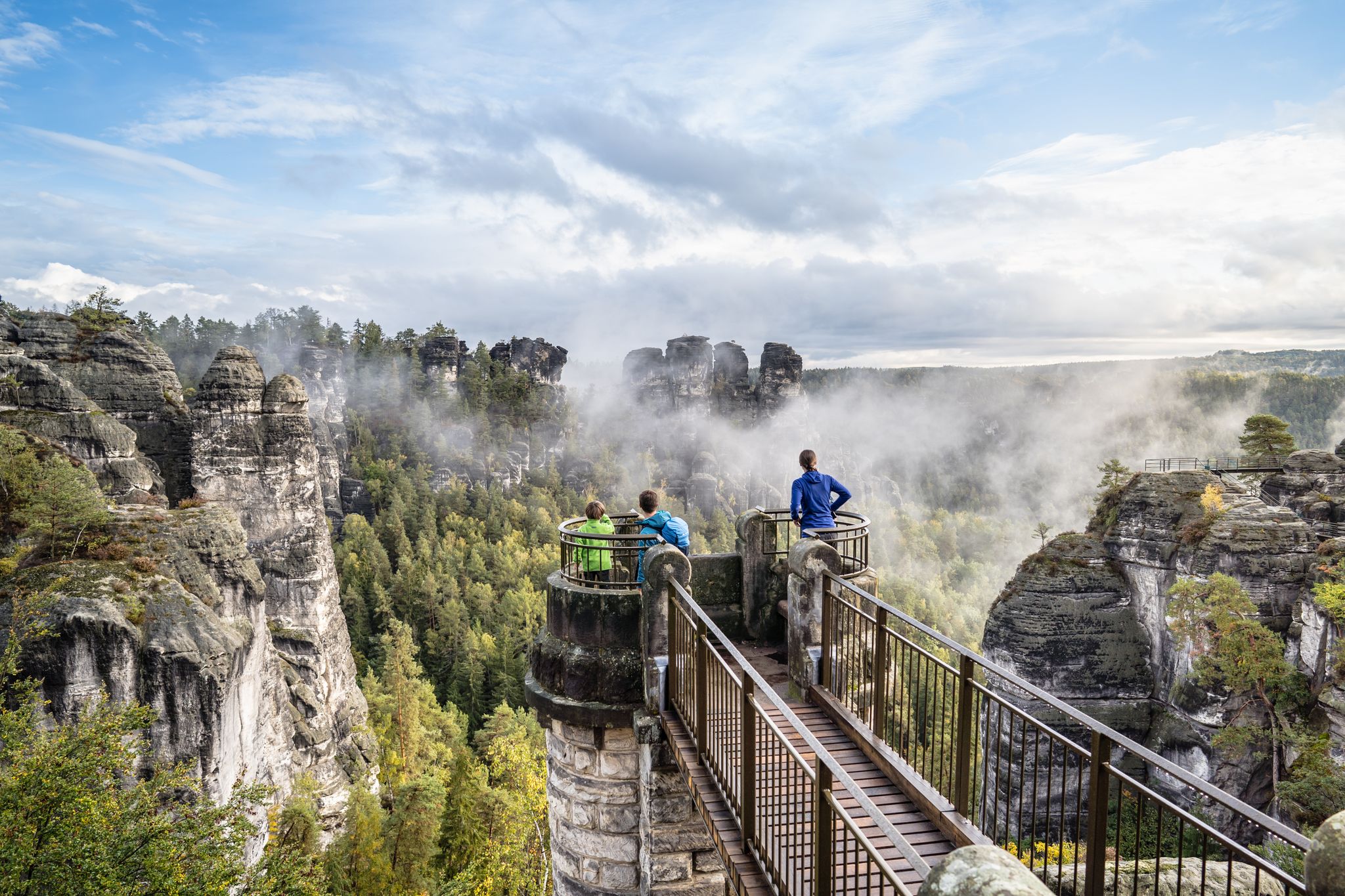
Natural wonders of Saxony – hiking with the wow factor
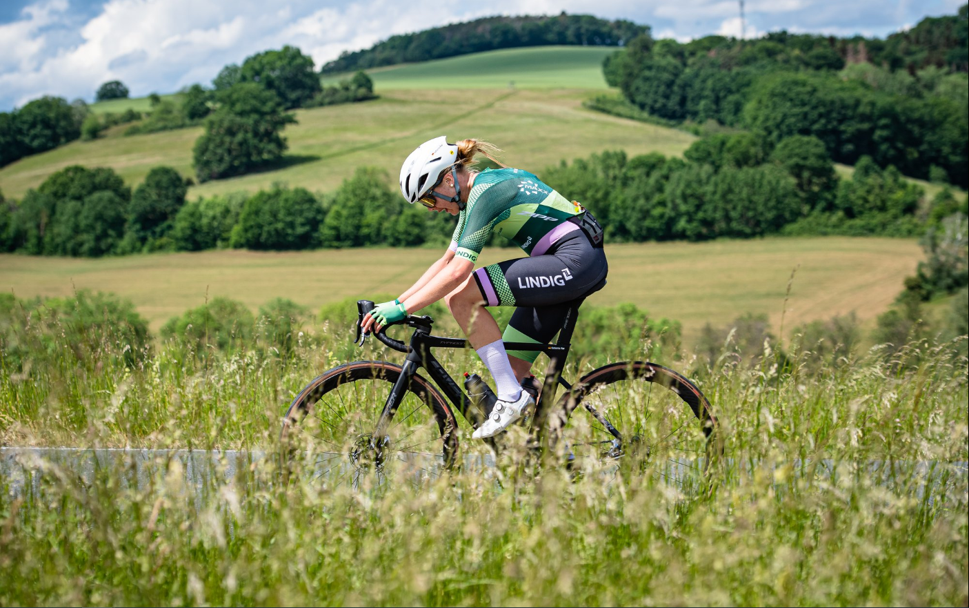
Gravel and road cycling in the Vogtland region

歴史と自然が出会う – エルツゲビルゲ=フォークトラント尾根道
ユーロッパの心臓を通って - ユーレギオ・エグレンシスを乗って
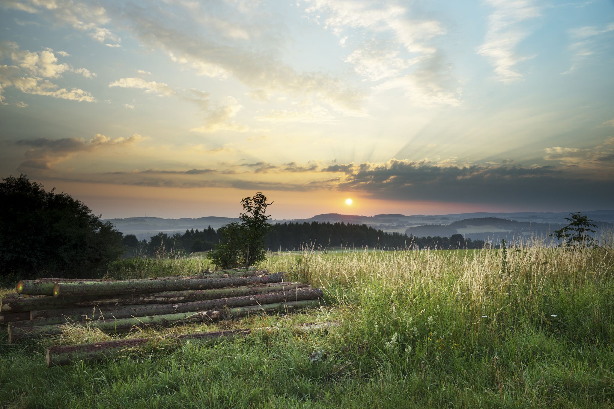
The Klingenthal Trail & Zeulenroda Dam – Hiking in Vogtland in Germany
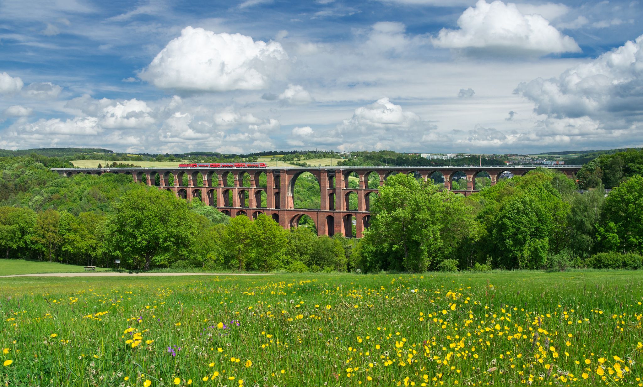
エクスペリエンス ネイチャーズ シンフォニー – フォークトラント パノラマ トレイル
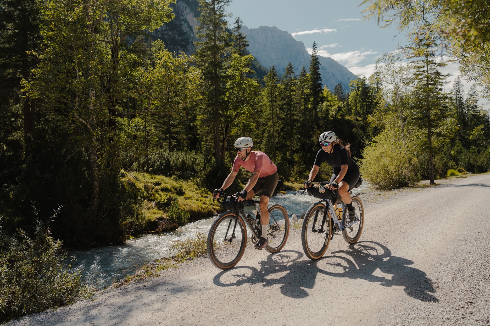
Schotterglück und Overnight-Abenteuer – Graveln mit Roeckl Sports
クリンゲンタールでのハイキング
クリンゲンタールでのの他の冒険


コミュニティからのヒント

元々は「Riß」(溝)と呼ばれ、高低差のある場所を木材を容易に運搬できるように、人の手によって岩盤に切り開かれたものです。何世紀にもわたり、水はGöltzschtalの岩盤の地面をますます深く侵食してきました。この最後の区間であるRiß滝は、周囲の森林景観に魅力的に溶け込んでいます。Riß滝は現在、一年を通してそれほど多くの水を流していません。しかし、大雨の後や雪解けの後には、特に美しく見ることができます。
7
0

☆ The construction time is remarkable... 👍
4
0
☆ With a small island and a small ferry to pull you to the other shore.
3
1

In, on, and around the dam. There's something for everyone. The kiosk/bistro is highly recommended.
2
0

The dam wall of the Carlsfeld dam is a listed building. The curved gravity dam wall made of rubble stone is 195 meters long and up to 20 meters wide at the base. Its height above the foundation base is almost 32 meters. The dam axis has a radius of 160 meters. Source: https://www.wasserwirtschaft.sachsen.de/TS_Carlsfeld.html?_cp=%7B%22accordion-content-13266%22%3A%7B%222%22%3Atrue%2C%223%22%3Atrue%7D%2C%22previousOpen%22%3A%7B%22group%22%3A%22accordion-content-13266%22%2C%22idx%22%3A3%7D%7D
4
0

The Carlsfeld Dam is located on the ridge of the Ore Mountains at a height of around 905 meters above sea level. This makes it the highest drinking water dam in Germany. Its catchment area extends into the Vogtland and the Czech Republic. The Carlsfeld Dam is sometimes also called the "Wilzsch Dam" or "Weiterwiese Dam". The first name refers to the Wilzsch River, whose water it dams. Weiterswiese was the name of a small forest settlement that had to make way for the dam to be built.
4
0

The dam is not too big and can easily be circumnavigated on foot.
6
0

クリンゲンタールでのの人気観光スポット

komootモバイルアプリでインスピレーションを得よう


さらに探索
まだ探しているハイライトが見つかりませんか?他の地域のトップアトラクションのガイドを見てみましょう:
