クリンゲンタールの絶景の山頂・トップ13
絶景を目指して登るのであれ、達成感のために登るのであれ、山頂を訪れることで、クリンゲンタールの美しい自然をもっと満喫することができます。13
もの選択肢の中から、制覇する山頂を決めるのは簡単ではありません。スムーズに次の冒険で目指す山頂を選べるように、クリンゲンタールの素晴らしい山頂をこのガイドにまとめました。
最終更新日: 8月 30, 2026
アッシュベルク展望塔
ハイライト • 展望台
翻訳者 Google •
役立つ情報 は

ヴェンデルシュタイン
ハイライト • 自然記念物
Adventure in a small space
wonderful nature experience
翻訳者 Google •
役立つ情報 は

今すぐサインアップして、こんな場所を発見しよう
最高のシングルトラック、ピーク、その他のエキサイティングなアウトドアスポットのおすすめを受け取ろう。
無料新規登録
「レモン絞り器」付きヴィルツベルク
ハイライト • 展望台
翻訳者 Google •
役立つ情報 は

ヒンターラー・ケーゲルベルク(755m)
ハイライト • 山頂
翻訳者 Google •
役立つ情報 は


無料アカウントで今日から始めよう
次の冒険が待っています。
ログインまたは登録
クリンゲンタール周辺で人気
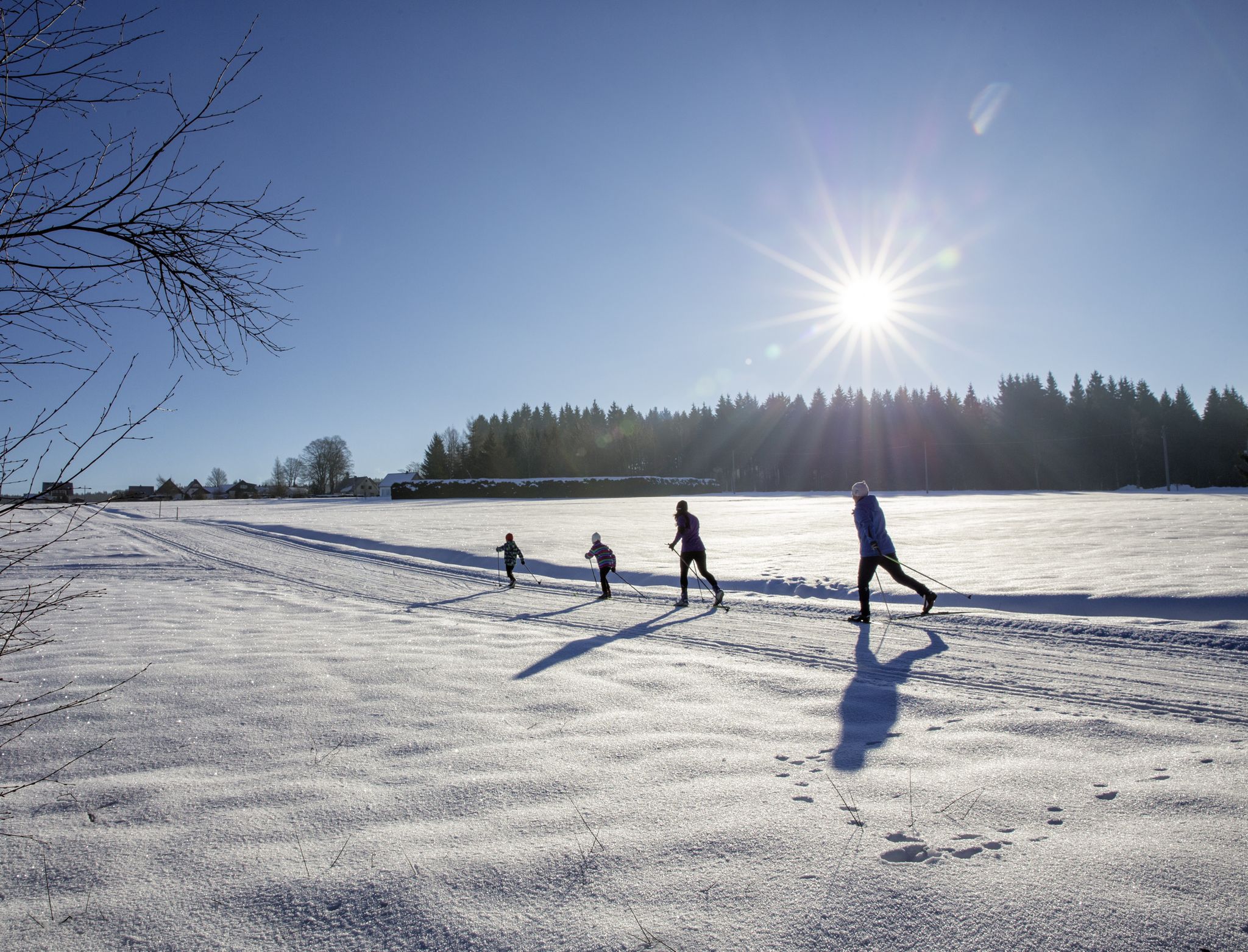
A snowy paradise – winter hiking and cross-country skiing in Germany’s Vogtland
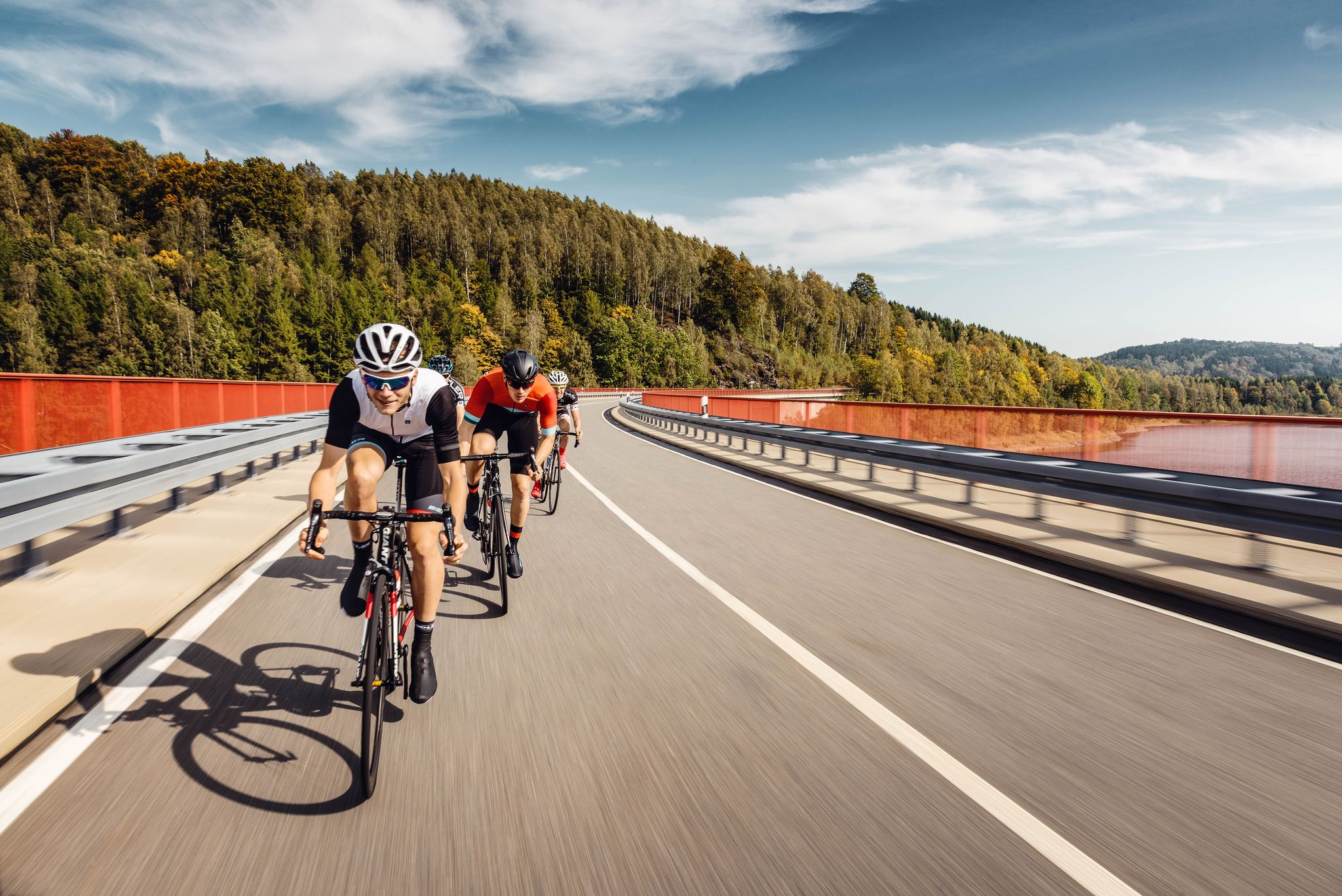
Pure road and gravel riding joy through Saxony
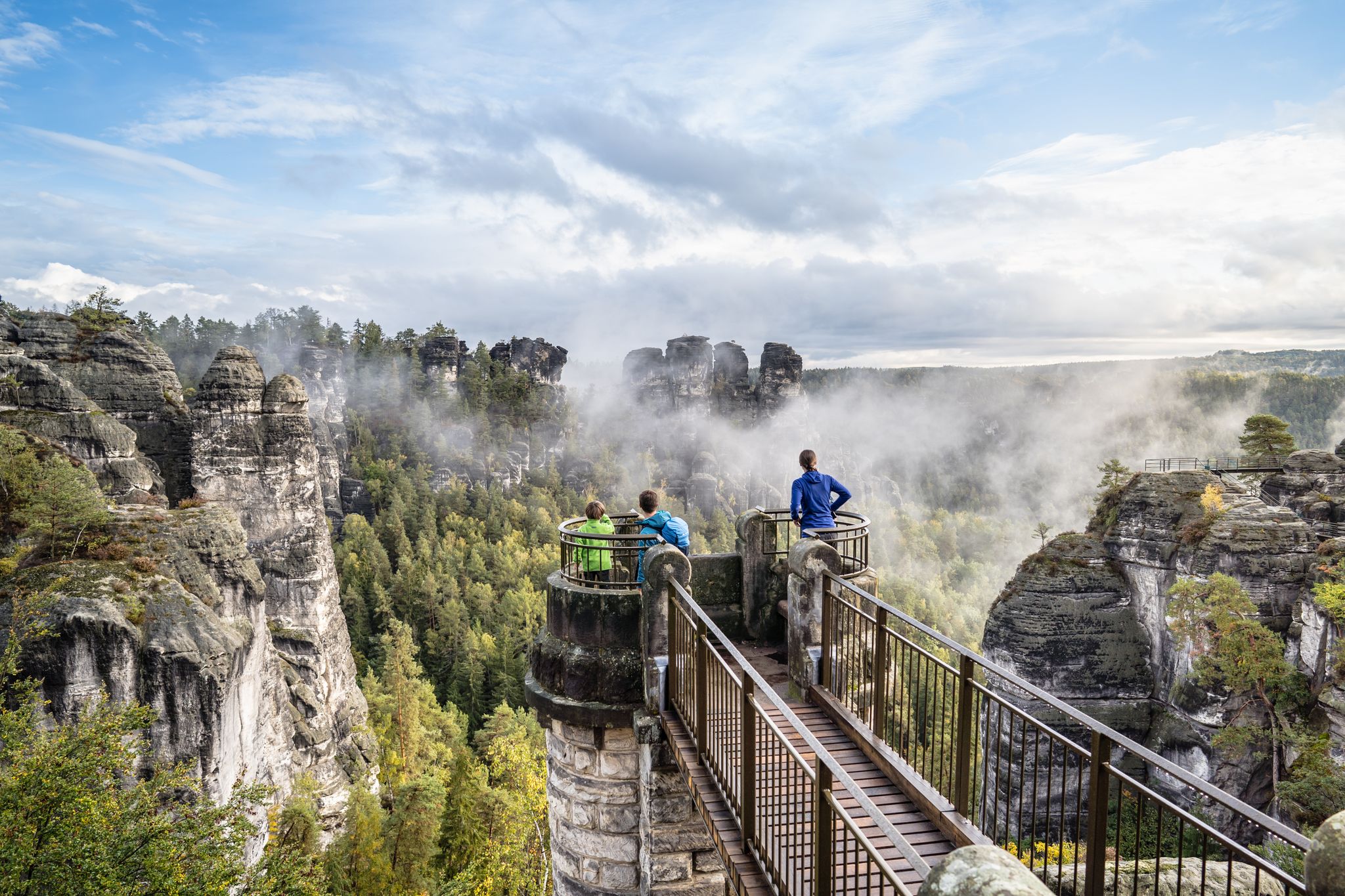
Natural wonders of Saxony – hiking with the wow factor
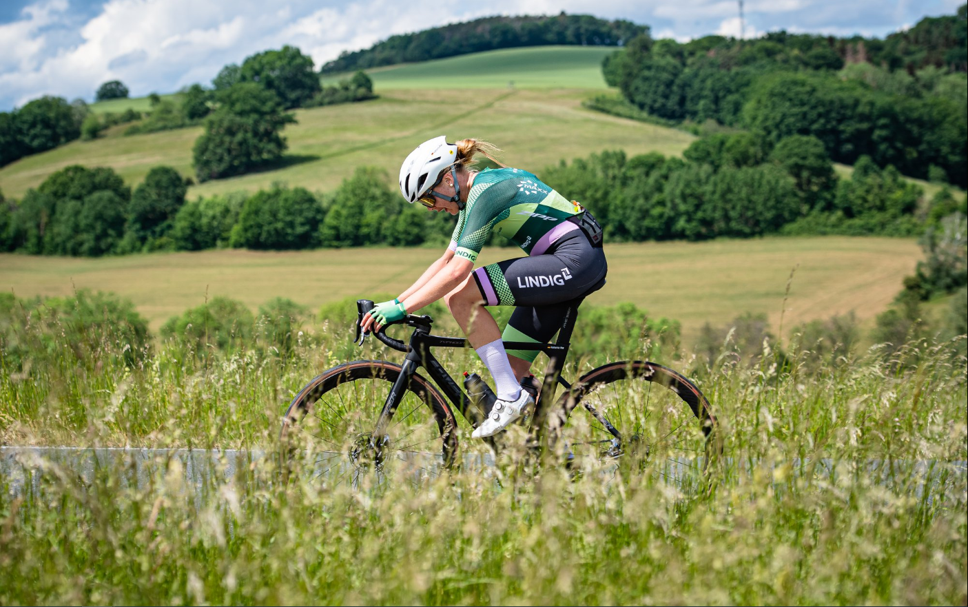
Gravel and road cycling in the Vogtland region

歴史と自然が出会う – エルツゲビルゲ=フォークトラント尾根道
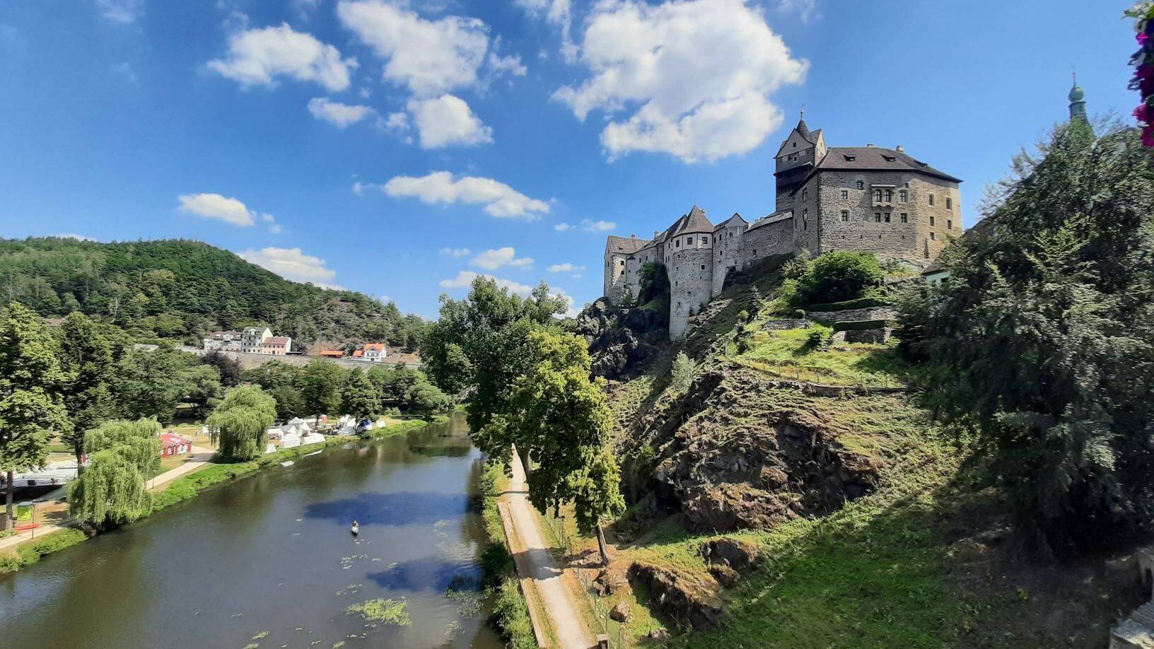
ユーロッパの心臓を通って - ユーレギオ・エグレンシスを乗って
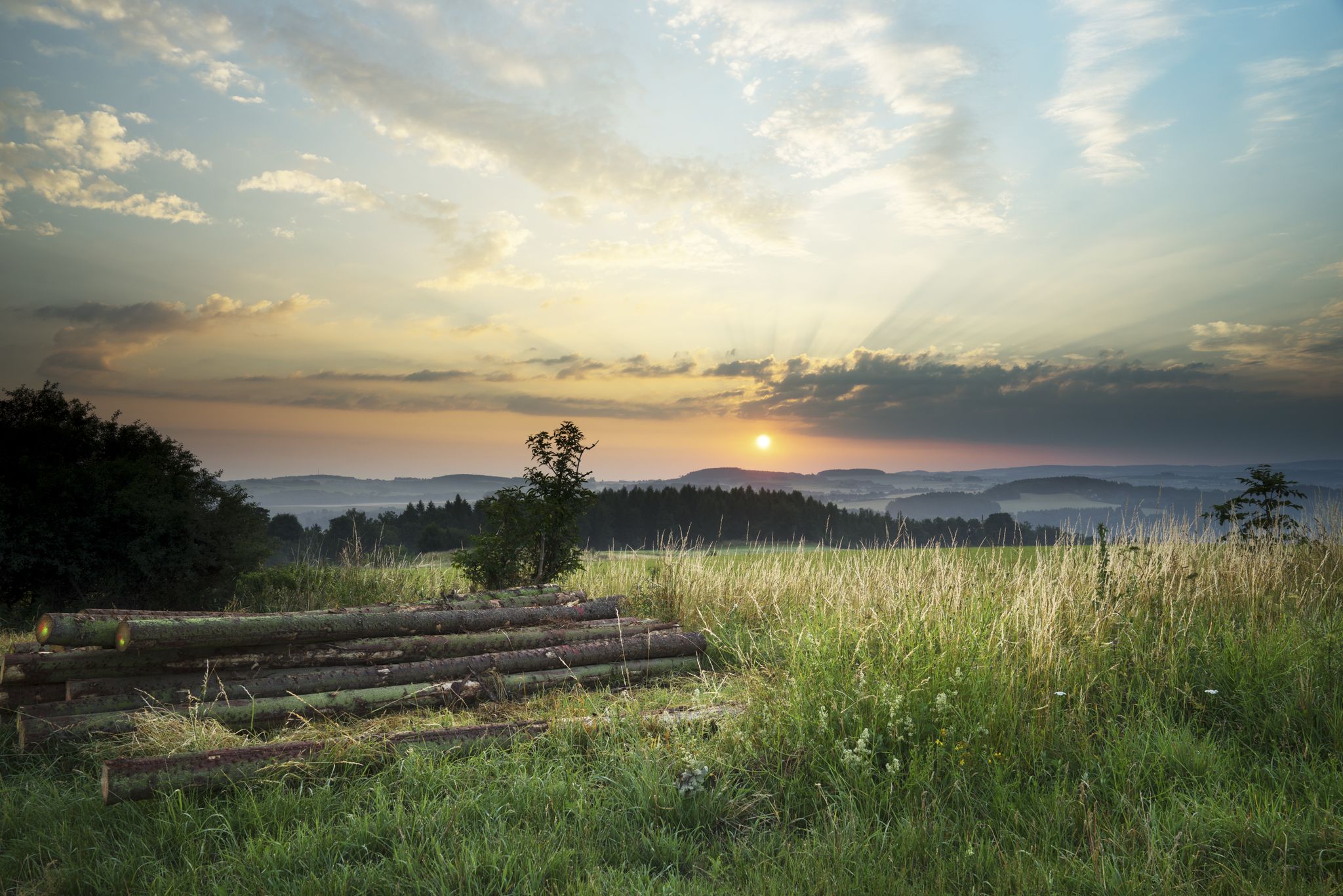
The Klingenthal Trail & Zeulenroda Dam – Hiking in Vogtland in Germany
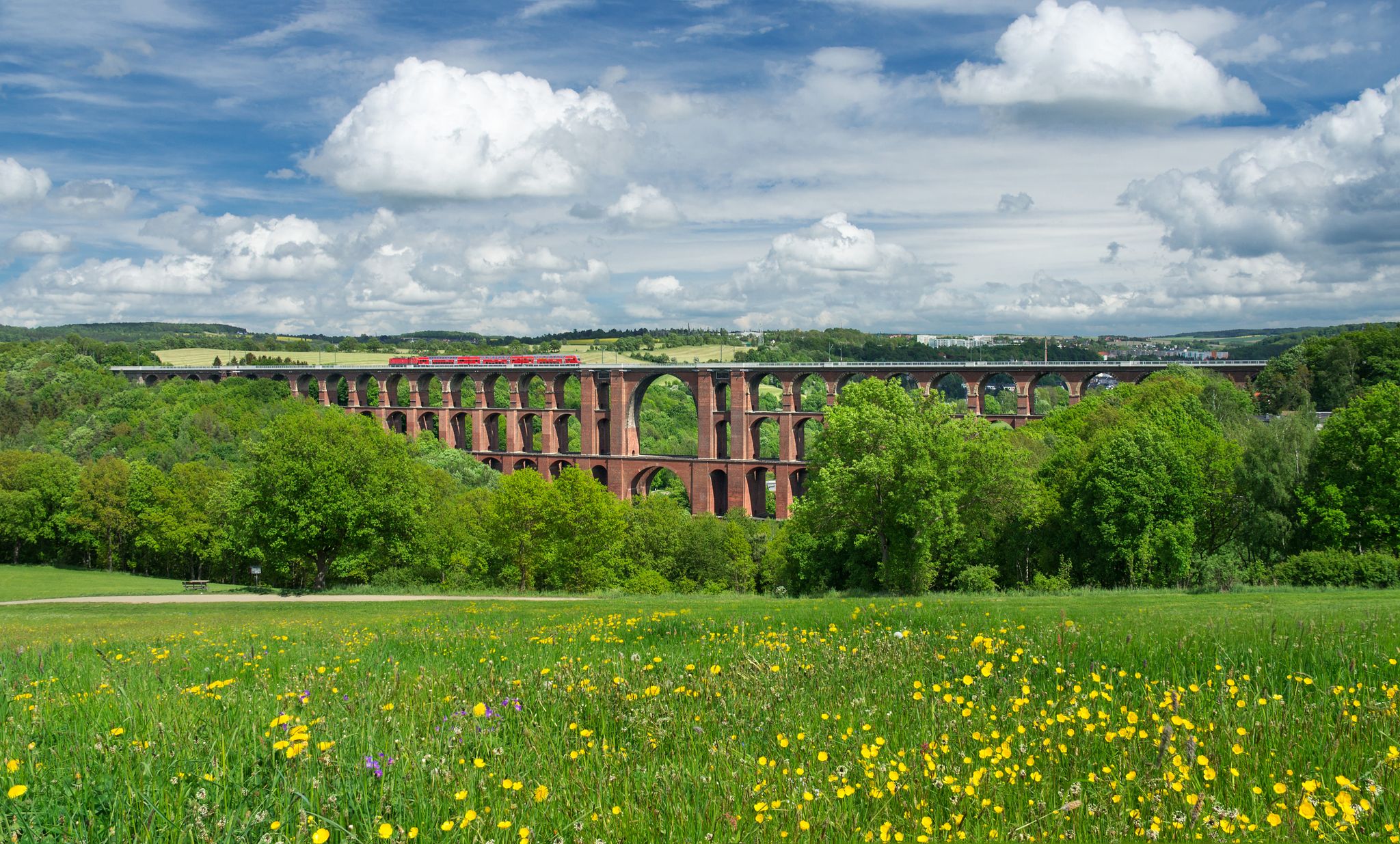
エクスペリエンス ネイチャーズ シンフォニー – フォークトラント パノラマ トレイル
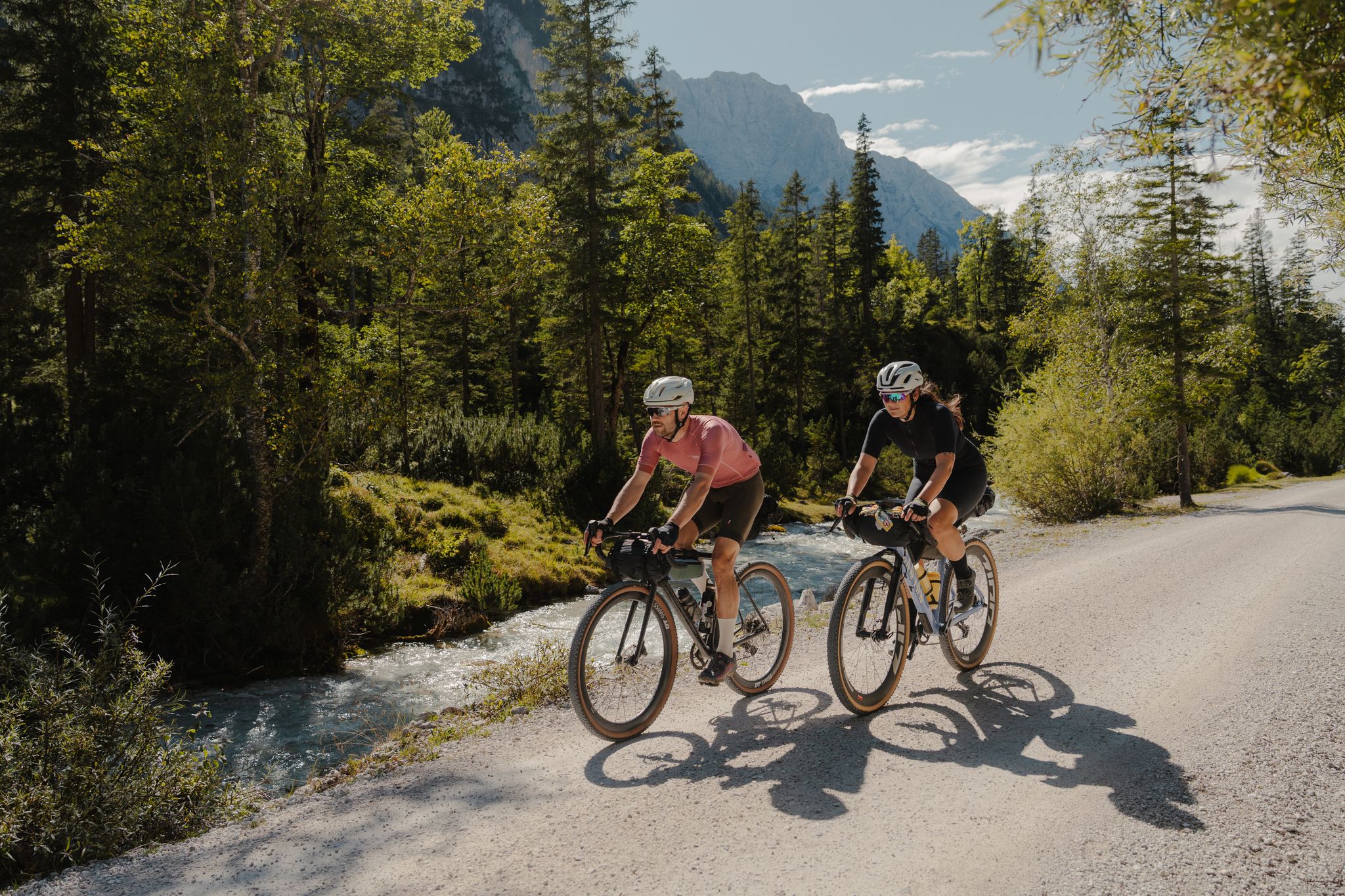
Schotterglück und Overnight-Abenteuer – Graveln mit Roeckl Sports
クリンゲンタールでのハイキング
クリンゲンタールでのの他の冒険


コミュニティからのヒント


The Wendelstein (734 m) is part of a long chain of rocky cliffs that jut sharply out of the earth. This striking rock formation begins at the "Hoher Stein" (Czech Republic), continues via the "Alter Söll" (Schöneck), the "Rehhübel," "Rinnelstein," "Großer Affenstein," "Kleiner Affenstein," "Genesenstein," "Wendelstein," and "Schwarzer Stein" (all Grünbach) to the "Bendelstein" near Auerbach. The Wendelstein, like all the others, is composed of greywacke quartzite. This is a dark gray, mostly highly consolidated sandstone composed of feldspar, chlorite, and mica, with a high proportion of slate and quartzite. About 500 million years ago, the Vogtland region was covered by a shallow sea. Sand and mud settled on the bottom, which subsequently solidified into sandstone and slate, the sedimentary rock, due to climate change and landslide. Forced upwards under enormous heat and pressure, phyllite and quartzite were formed. (https://www.gruenbach.de/freizeit_aktiv)
0
0
The Wendelstein has been protected as a geological natural monument since November 5, 1938. A triangulation column dated 1864 was erected on the highest part of the rock, representing a second-order survey point in the course of the historic Saxon national survey. The Wendelstein is 734 m above sea level and is part of a long chain of rocky cliffs that jut steeply out of the earth. This striking rock formation begins at the "Hoher Stein" (Czech Republic), continues via the "Alter Söll" (Schöneck), the "Rehhübel," "Rinnelstein," the "Großer Affenstein" and "Kleiner Affenstein," the "Genesenstein," "Wendelstein," and the "Schwarzer Stein" (all Grünbach) to the "Bendelstein" near Auerbach. (https://www.gruenbach.de/freizeit_aktiv/gehenswertes_rund_um_gruenbach-muldenberg/wendelstein/index.php)
0
0

There is a small hut and a few benches here. Ideal for a short rest.
0
0

Beautiful rock. It's worth a detour.
0
0

Goes up high and down steeply, just like a cone. ;)
0
0
Climbing up is a bit strenuous, but it's worth it.
0
0

The Kegelberg lies on both sides of the border between Germany and the Czech Republic. On the German side there is the Kegelberg downhill ski area and the mountain hut.
0
0
クリンゲンタールでのの人気観光スポット

komootモバイルアプリでインスピレーションを得よう


さらに探索
これらのガイドでさらに素晴らしい頂上を見てみましょうクリンゲンタールでの:
