クレモナのおすすめツーリングルート
4.4
(1828)
12,744
ライダー
1,023
ライド
クレモナでサイクリングを楽しめば、ロンバルディアのこのエリアをより深く知ることができます。あなたにぴったりのクレモナでのバイクライドが見つかるように、komootがサイクリングルートのコレクション全体を評価して選び抜いたルートをご紹介します。以下のルートをクリックして標高データや舗装状態の分析などの細かな情報を把握し、さらにkomootコミュニティのメンバーがアップロードした役立つ情報や写真も閲覧しましょう。
最終更新日: 10月 4, 2026
4.5
(57)
253
ライダー
56.4km
03:47
110m
110m
This moderate 35.0-mile (56.4 km) touring cycling loop explores the confluence of the Po and Adda rivers in Parco Adda Sud.
4.2
(25)
201
ライダー
51.9km
03:14
120m
120m
中程度の自転車ライド. ある程度のフィットネスレベルが必要です。 全般的に舗装された状態です。あらゆるスキルレベルに適しています。

5.0
(3)
16
ライダー
60.6km
04:07
110m
110m
中程度の自転車ライド. ある程度のフィットネスレベルが必要です。 ツアーの一部に、未舗装のため走行が難しい箇所があるかもしれません。
5.0
(2)
22
ライダー
94.7km
05:59
210m
210m
難しい自転車ライド. 標準以上のフィットネスレベルが必要です。 全般的に舗装された状態です。あらゆるスキルレベルに適しています。
4.5
(4)
45
ライダー
52.4km
03:03
140m
140m
中程度の自転車ライド. ある程度のフィットネスレベルが必要です。 全般的に舗装された状態です。あらゆるスキルレベルに適しています。
5.0
(4)
39
ライダー
55.9km
03:22
70m
70m
中程度の自転車ライド. ある程度のフィットネスレベルが必要です。 全般的に舗装された状態です。あらゆるスキルレベルに適しています。
2.0
(1)
23
ライダー
67.8km
04:37
220m
220m
Cycle 42.1 miles (67.8 km) on Stage 4 of the Oglio Cycleway, a moderate route through rural landscapes to the San Matteo delle Chiaviche boa
3
ライダー
102km
07:08
190m
190m
難しい自転車ライド. 標準以上のフィットネスレベルが必要です。 全般的に舗装された状態です。あらゆるスキルレベルに適しています。
4.3
(3)
14
ライダー
36.4km
02:18
120m
120m
Cycle the moderate 22.6-mile Way of Saint Julia: Pontevico - Seniga Loop through Lombardy's scenic plains and historical sites.
3.3
(3)
7
ライダー
50.4km
03:26
130m
130m
This moderate 31.3-mile touring cycling loop from Robecca d'Oglio follows the Strone and Mella rivers, offering varied scenery.
さらに多くのルートや他のユーザーのおすすめ情報を確認できます。
すでにアカウントをお持ちですか?
おすすめのツアーは他のkomootユーザーが実際に経験した何千ものアクティビティに基づいています。
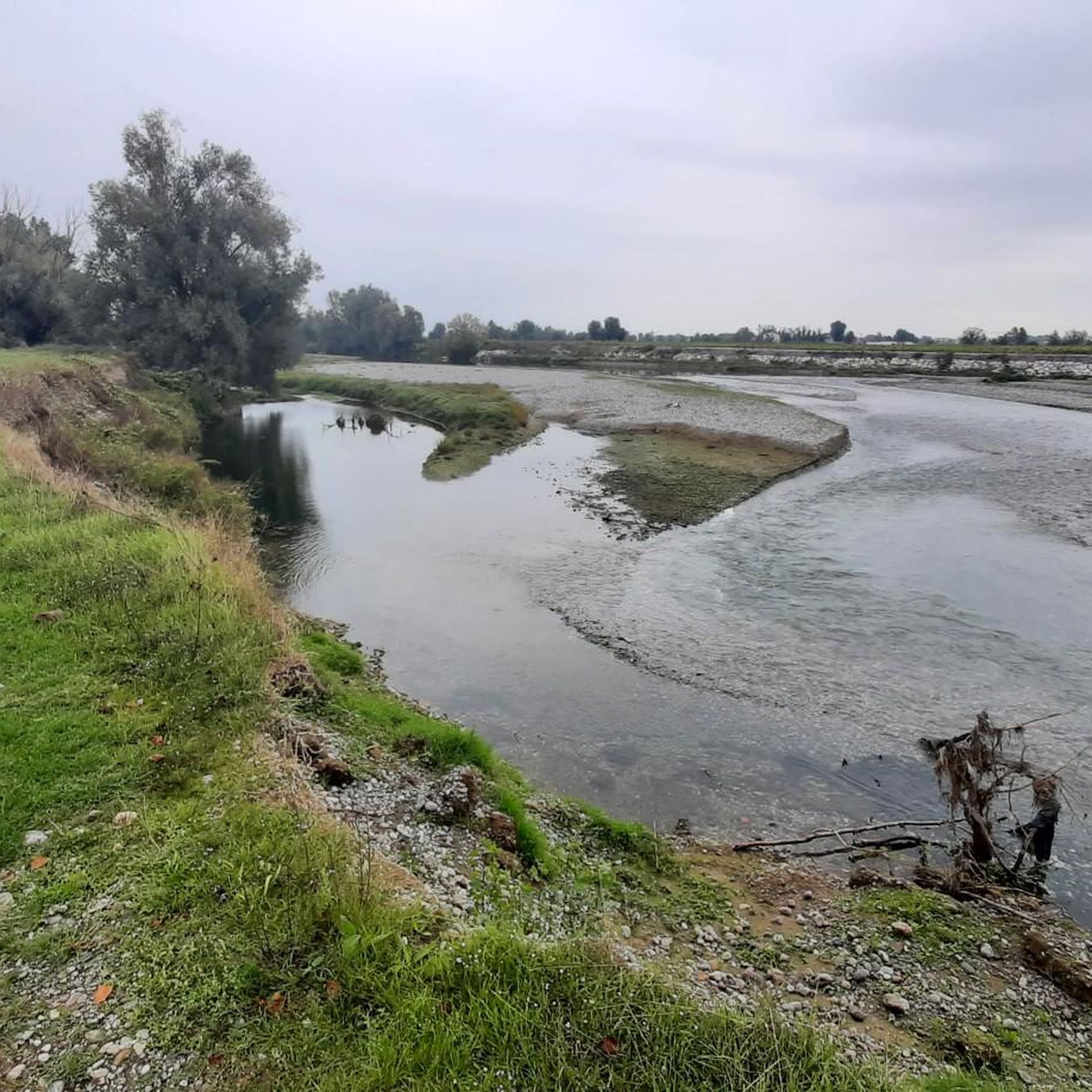
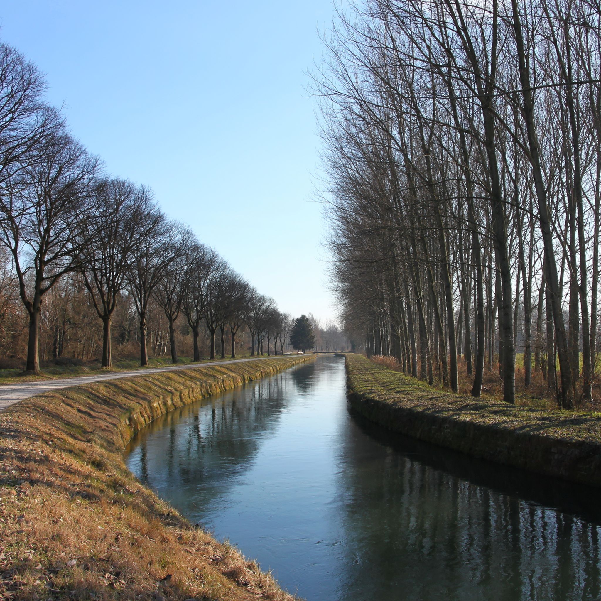
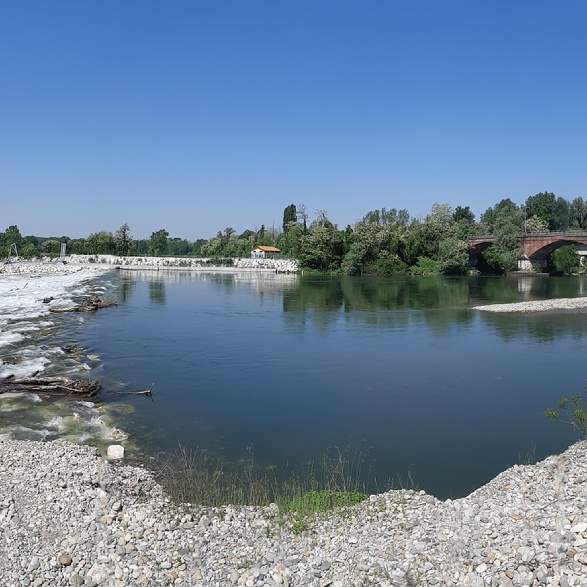
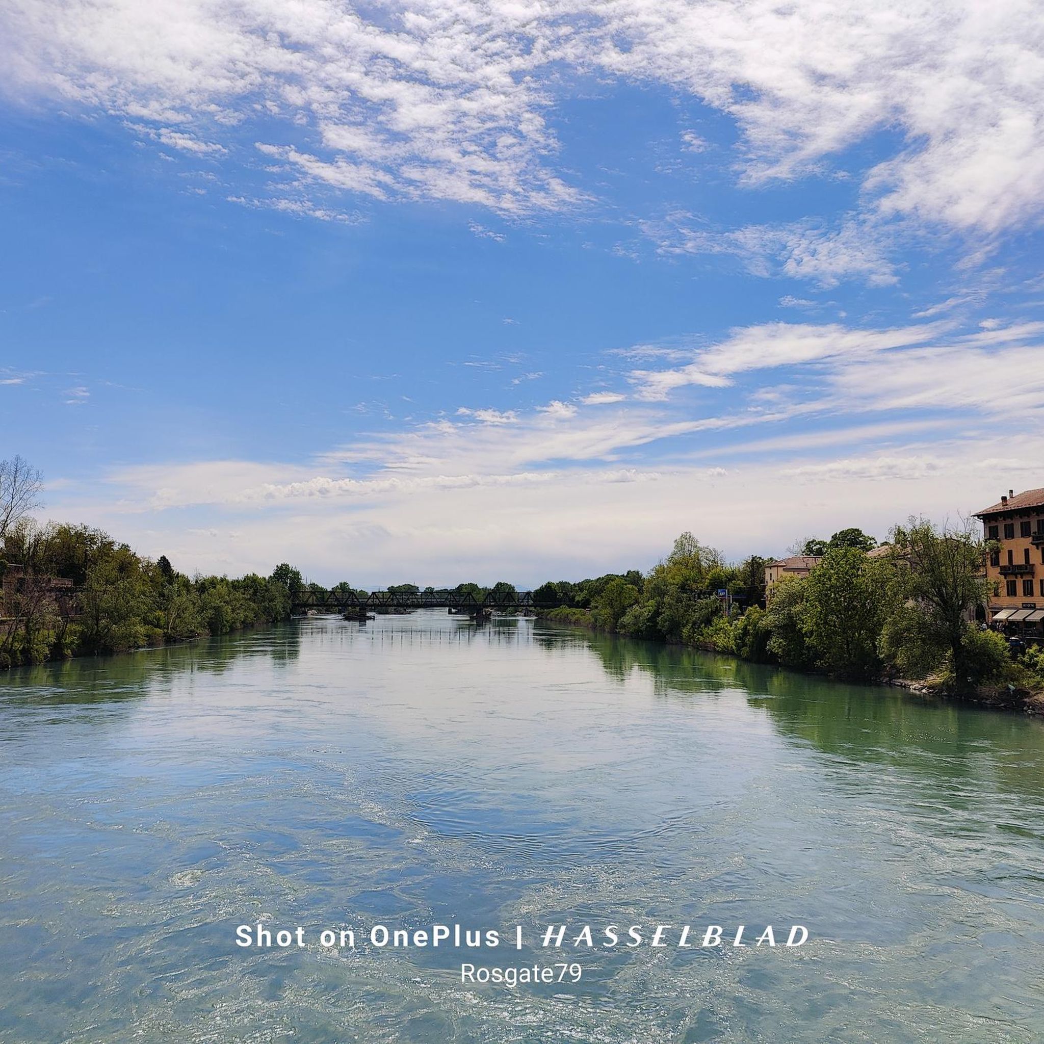
クレモナでのの他の冒険


コミュニティからのヒント

「キエゼッタ・ディ・サン・ジャコモ・イン・リパ・スコルティカータ」(または代替としてフィリッポとヤコブ聖人)という名称は、イタリア北部および中部北部の2つの重要な歴史的および宗教的証言を指しています。 1. サン・ジャコモ・イン・リパ・スコルティカータ教会(クレモナ / カステッレオーネ) この歴史的な表現は、1158年より前の時代に遡る古い中世の集落を指しており、元々はリパ・スコルティカータとして知られていた地域、クレモナ県のカステッレオーネとサン・バッサーノの間の地域にある、古代のセーリオ川(現在はセーリオ・モルトと呼ばれる)の岸辺にある高台に位置していました。 古代の巡礼者宿:この小さな教会は、戦略的なヴィア・レジーナ(クレモナとキアヴェンナを結ぶローマ時代の軍事道路および商業道路)沿いにありました。そこには、巡礼者や「ロメイ」を受け入れ、休息させるための宿(または病院)が併設されていました。
0
0

ポー川のローディ区間の主要な堤防は、ローディ平野を洪水から守っており、AIPo(ポー川地域間庁)によって管理されています。堤防システムは、サン・ロッコ・アル・ポルト、サント・ステファノ・ロディジャーノ、コーノ・ジョーヴィネ、カゼッレ・ランディ、カステルヌオーヴォ・ボッカ・ダッダなどの河岸の自治体に沿って広がり、県の南の境界を形成しています。
0
0
ポー川のローディ区間の主要な堤防は、ローディ平野部を洪水から守っており、AIPo(ポー川地域間庁)によって管理されています。堤防システムは、サン・ロッコ・アル・ポルト、サント・ステファノ・ロディジャーノ、コーノ・ジョーヴィネ、カゼッレ・ランディ、カステルヌオーヴォ・ボッカ・ダッダなどの河岸自治体に沿って広がり、県の南端を形成しています。
0
0
ポンテヴィコは、ロンバルディア州ブレシア県の南端に位置する、約7,150人の住民がいるイタリアのコムーネ(基礎自治体)です。この町は、クレモナ県との自然な境界を形成するオーリオ川沿いの歴史的に戦略的な場所にあります。その名前は、文字通り「村の橋」を意味するラテン語の「Pons Vici」に由来しています。 自治体の領土は主に平坦で、ベッテグノ、カンパッツォ、キエズーラ、トーロの集落が含まれています。地元の経済は歴史的に、強力な農業への適性とバッサ・ブレシアーナ地区に関連する繊維産業の発展との間で分かれています。中心部はブレシアの県庁所在地から約32キロメートル離れており、A21号線またはブレシア-クレモナ鉄道線で車で簡単にアクセスできます。
0
0

しばらく水が見つからないので、ここで水を補給してください(泉はなく、ほとんど存在しないバーで補給する必要があります。ルート:Cremona - Casalmaggiore)
1
0

Worth seeing with a guided tour offered by the tourist office
0
0

Excellent Acqua💧 Point point to stock up on fresh water via the Padania Acque QR code
0
0

クレモナでのの人気観光スポット

komootモバイルアプリでインスピレーションを得よう


探していたものは見つかりませんでしたか?
クレモナの下にある他のサイクリングルートをチェックして、目的地で完璧なルートを見つけましょう。
