カザルブッターノエドユニティのおすすめツーリングルート
4.2
(425)
2,655
ライダー
17
ライド
カザルブッターノエドユニティ周辺でのおすすめのサイクリングルートを参考にして、このエリアを最大限に楽しみましょう。ここでご紹介するのは、カザルブッターノエドユニティ周辺の人気バイクライドです。ぜひ、自分に合ったルートを見つけてください。
最終更新日: 11月 15, 2026
8
ライダー
31.3km
02:03
50m
50m
中程度の自転車ライド. ある程度のフィットネスレベルが必要です。 ほとんどが舗装路です。
3.0
(1)
6
ライダー
中程度の自転車ライド. ある程度のフィットネスレベルが必要です。 ほとんどが舗装路です。

4.2
(5)
4
ライダー
16.2km
00:56
20m
20m
初級者向けバイクライド. ほとんどが舗装路です。
4
ライダー
45.9km
02:37
50m
50m
中程度の自転車ライド. ある程度のフィットネスレベルが必要です。 ほとんどが舗装路です。
7
ライダー
69.8km
04:26
160m
160m
中程度の自転車ライド. ある程度のフィットネスレベルが必要です。 ほとんどが舗装路です。
さらに多くのルートや他のユーザーのおすすめ情報を確認できます。
すでにアカウントをお持ちですか?
おすすめのツアーは他のkomootユーザーが実際に経験した何千ものアクティビティに基づいています。


コミュニティからのヒント

ポンテヴィコは、ロンバルディア州ブレシア県の南端に位置する、約7,150人の住民がいるイタリアのコムーネ(基礎自治体)です。この町は、クレモナ県との自然な境界を形成するオーリオ川沿いの歴史的に戦略的な場所にあります。その名前は、文字通り「村の橋」を意味するラテン語の「Pons Vici」に由来しています。 自治体の領土は主に平坦で、ベッテグノ、カンパッツォ、キエズーラ、トーロの集落が含まれています。地元の経済は歴史的に、強力な農業への適性とバッサ・ブレシアーナ地区に関連する繊維産業の発展との間で分かれています。中心部はブレシアの県庁所在地から約32キロメートル離れており、A21号線またはブレシア-クレモナ鉄道線で車で簡単にアクセスできます。
0
0

純粋なジロ・グラベル。少しリラックスするためにアスファルトの混合区間があります。日陰と日向が交互に現れますが、私の意見では中間シーズンがより良いでしょう。ヴェロラヴェッキアとヴェロラヌオーヴァの区間は、その特徴的な建築様式とともに美しいです。楽しい登り坂と下り坂がありますが、そのためには良いブレーキが必要です(いつものように)。
0
0

Naviglio Civico di Cremonaは、約57km(地下区間「Cremonella」とポー川での終点を含めると75km超)の歴史的な人工運河で、1337年に灌漑目的で建設され、今日でも農業に不可欠です。州を南北に横断し、オーリョ川と都市を結び、生物多様性豊かな景観、古い農家、サイクリングロードが特徴です。
2
0

Cremona's "Annicco Boat": The Annichetta. This imposing 37-meter-long reinforced concrete structure, shaped like a ship, has served as the symbol and calling card of the municipality of Annicco (Cremona) for over 60 years. Originally built in 1962 as a cattle stable by Milanese industrialist Osvaldo Bottini, who wanted to create a unique and recognizable building for his farmhouse, it is now a local icon.
0
0

This brick tower, approximately 40 meters tall, is the bell tower of the ancient Romanesque church of Santa Maria della Neve, now lost. It is known as the Torre della Norma and is the historical symbol of Casalbuttano. Dating back to the 12th century, it retains the sober and massive appearance typical of medieval Lombard architecture. As you climb into the village, you immediately notice its imposing presence: a visual landmark that tells the story of the long history of this agricultural village in the Cremona plain.
1
0
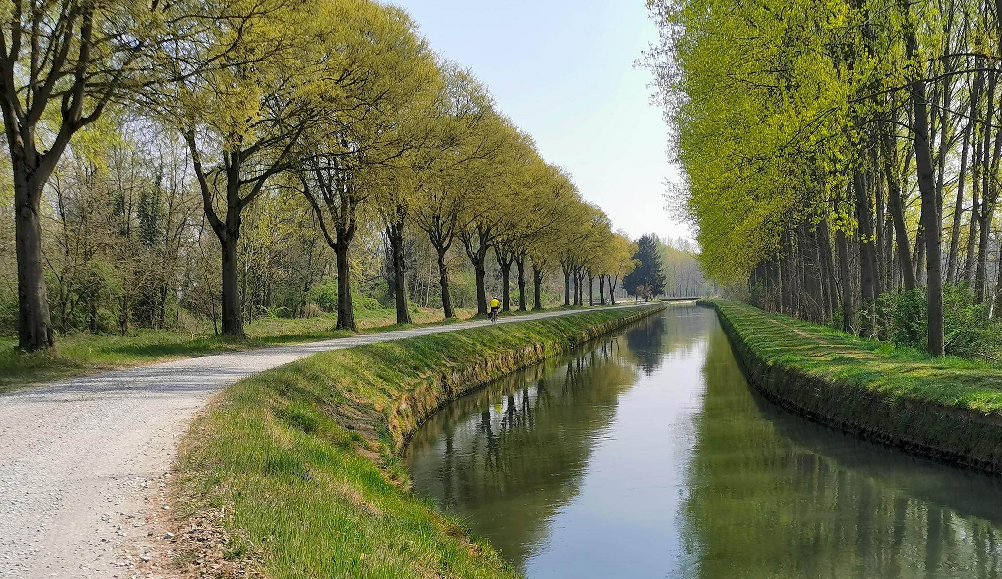
The trail, which runs alongside the Canale Civico Cremonese, is straight and uneven, running through fields and rows of vines on a dirt surface. Stable and even, it's a perfect stretch for gravel and touring bikes.
2
0

The hydraulic junction of the Tombe Morte-Tredici Ponti constitutes the most important concentration of artificial waterways in the province of Cremona, irrigating approximately 85,000 hectares of countryside. Here the Naviglio Civico di Cremona, the Naviglio Grande Pallavicino and the Canale Vacchelli intersect, the latter pouring almost all of its flow into the Naviglio Pallavicino, the Naviglio Civico and a dozen irrigation ditches through an impressive system of locks. Finally, a spillway, built between 1968 and 1981, detaches from the junction, which discharges any excess flow from the Naviglio Civico, the Naviglio Pallavicino and the Vacchelli into the Oglio river. Two different hypotheses have been made regarding the origin of the name, the first would originate from the term tomba which is synonymous with siphon, a hydraulic element that connects two conduits. Probably some of these artifacts would have fallen into disuse, hence the adjective death. Another hypothesis is linked to the discovery of several dozen burials dating back to the late Roman era.
24
0

The intersection of these channels is very suggestive
5
0
カザルブッターノエドユニティでのの人気観光スポット

komootモバイルアプリでインスピレーションを得よう


さらに探索
他の地域の最高のサイクリングルートを見てみましょう。
