フランクリン郡のおすすめライド
3.0
(1)
601
ライダー
32
ライド
このガイドでご紹介するのは、komootがフランクリン郡でのロードバイクルートのコレクション全体を評価して選び抜いた、このエリアの人気バイクライドです。あなたに合ったものを見つけるには、以下のルートをクリックして標高データや舗装状態の分析などの細かな情報を把握し、さらにkomootコミュニティのメンバーが投稿した役立つ情報や写真も閲覧しましょう。
最終更新日: 8月 26, 2026
23
ライダー
75.4km
04:08
1,380m
1,390m
Cycle 46.8 miles (75.4 km) from Roanoke River Overlook to Mills Gap Overlook, a difficult route on the Blue Ridge Parkway.
4
ライダー
25.1km
01:13
260m
260m
If you're seeking a reliable road cycling route in Roanoke, Virginia, the Bandy Road loop offers a smooth, fully paved experience. This route is characterized by its consistent elevation changes,…

無料新規登録
5
ライダー
21.2km
01:15
430m
430m
Cycle the moderate 13.2-mile Roanoke Mountain Loop Road from Roanoke River Overlook for challenging climbs and panoramic views.
35
ライダー
52.5km
02:47
750m
750m
中程度のロードライド. ある程度のフィットネスレベルが必要です。 ツアーの一部に、未舗装のため走行が難しい箇所があるかもしれません。
13
ライダー
34.5km
01:34
290m
290m
中程度のロードライド. あらゆるフィットネスレベルに適しています。 ツアーの一部に、未舗装のため走行が難しい箇所があるかもしれません。
14
ライダー
30.7km
01:42
440m
440m
中程度のロードライド. ある程度のフィットネスレベルが必要です。 全般的に舗装状態が良好で走行しやすい道です。
6
ライダー
13.1km
00:35
130m
130m
初級者向けロードバイクライド. あらゆるフィットネスレベルに適しています。 全般的に舗装状態が良好で走行しやすい道です。
5
ライダー
27.3km
01:14
260m
260m
初級者向けロードバイクライド. あらゆるフィットネスレベルに適しています。 全般的に舗装状態が良好で走行しやすい道です。
3
ライダー
47.2km
02:55
1,130m
1,130m
難しいロードライド. 標準以上のフィットネスレベルが必要です。 ツアーの一部に、未舗装のため走行が難しい箇所があるかもしれません。
5
ライダー
88.9km
04:50
1,450m
1,450m
難しいロードライド. 標準以上のフィットネスレベルが必要です。 全般的に舗装状態が良好で走行しやすい道です。
さらに多くのルートや他のユーザーのおすすめ情報を確認できます。
無料新規登録
すでにアカウントをお持ちですか?
おすすめのツアーは他のkomootユーザーが実際に経験した何千ものアクティビティに基づいています。
無料アカウントで今日から始めよう
次の冒険が待っています。
ログインまたは登録




コミュニティからのヒント

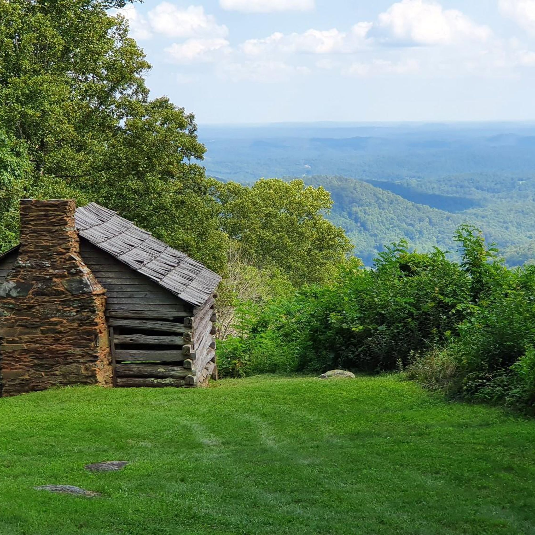
The Mills Gap Overlook is a short detour off of the Appalachian Trail, but it is definitely worth getting off the trail and stopping to enjoy the view. The viewpoint is also right where the Blue Ridge Parkway intersects with the trail, so there is a good chance you will see others enjoying this spot.
0
0

The Memorial Bridge of Roanoke supports the Roanoke River Greenway and has wide sidewalks on both sides of the car lanes that bikes use. The bridge has two-lane traffic and spans 785 feet across the Roanoke River. While riding here, pay attention and find all five plaques, with quotes from Patrick Henry, Theodore Roosevelt, Stonewall Jackson, and Thomas Jefferson. The last plaque has the names of World War I victims.
0
0

The greenway is an easily accessible multi-use trail that runs along the Roanoke River. There are multiple points of access and a number of nice parks along its route. It can get busy with cyclists, walkers, and runners though so be aware of your fellow trail users.
0
0
Explore Park consists of miles and miles of trails across hundreds of acres. You'll find rolling hills, meadows, river access, historical buildings, and dense woodlands. You'll have plenty to do whether you stop for just an hour or decide to spend the day.
0
0
The greenway is an easily accessible multi-use trail that runs along the Roanoke River. There are multiple points of access and a number of nice parks along its route. It can get busy with cyclists, walkers, and runners though so be aware of your fellow trail users.
0
0

Located at Milepost 110.6 on the Blue Ridge Parkway, Stewarts Knob Overlook offers a view of the city of Roanoke. The view is not the most picturesque on the parkway, but it does have ample parking and a bench. The view of the city is really the best one you'll get of Roanoke while on the parkway.
0
0
There's also a short hiking trail that goes to the actual summit of the mountain, but this road loop on the side of the mountain offers a few different viewpoints of the city and Mill and Stone Mountains.
0
0
The Roanoke River Overlook is located at Milepost 114 on the Blue Ridge Parkway. You can either lock up your bike and hike the short spur trails down to the river or just take in the view from the overlook. There are also some pretty great views from the bridge that actually crosses the river.
0
0

komootモバイルアプリでインスピレーションを得よう


探していたものは見つかりませんでしたか?
フランクリン郡の下にある他のロードサイクリングルートをチェックして、目的地で完璧なルートを見つけましょう。
さらに探索
他の地域の最高のロードサイクリングルートを見てみましょう。
