Pierrefeuのおすすめウォーキング&ハイキングルート
4.5
(290)
2,107
ハイカー
100
ハイキング
Pierrefeu周辺でのハイキングは、景色を満喫するのに最適な手段のひとつですが、適切なハイキングルートを見つけることは簡単ではありません。 Pierrefeu周辺の人気ハイキング&ウォーキングコースを参考にすれば、行きたいルートをすぐに見つけられます。
最終更新日: 9月 14, 2026
4.7
(14)
85
ハイカー
7.55km
02:46
490m
490m
中程度のハイキング. ある程度のフィットネスレベルが必要です。 進みやすいルートです。あらゆるスキルレベルに適しています。
4.5
(4)
55
ハイカー
13.3km
04:47
750m
750m
中程度のハイキング. ある程度のフィットネスレベルが必要です。 全般的に進みやすいルートです。安定して歩行できる技術が必要です。

4.4
(5)
9
ハイカー
8.93km
03:03
460m
460m
中程度のハイキング. ある程度のフィットネスレベルが必要です。 全般的に進みやすいルートです。安定して歩行できる技術が必要です。
5
ハイカー
11.1km
04:06
540m
540m
中程度のハイキング. ある程度のフィットネスレベルが必要です。 全般的に進みやすいルートです。安定して歩行できる技術が必要です。
5.0
(1)
13
ハイカー
12.6km
04:27
630m
640m
中程度のハイキング. ある程度のフィットネスレベルが必要です。 全般的に進みやすいルートです。安定して歩行できる技術が必要です。
さらに多くのルートや他のユーザーのおすすめ情報を確認できます。
すでにアカウントをお持ちですか?
おすすめのツアーは他のkomootユーザーが実際に経験した何千ものアクティビティに基づいています。
無料アカウントで今日から始めよう
次の冒険が待っています。

コミュニティからのヒント


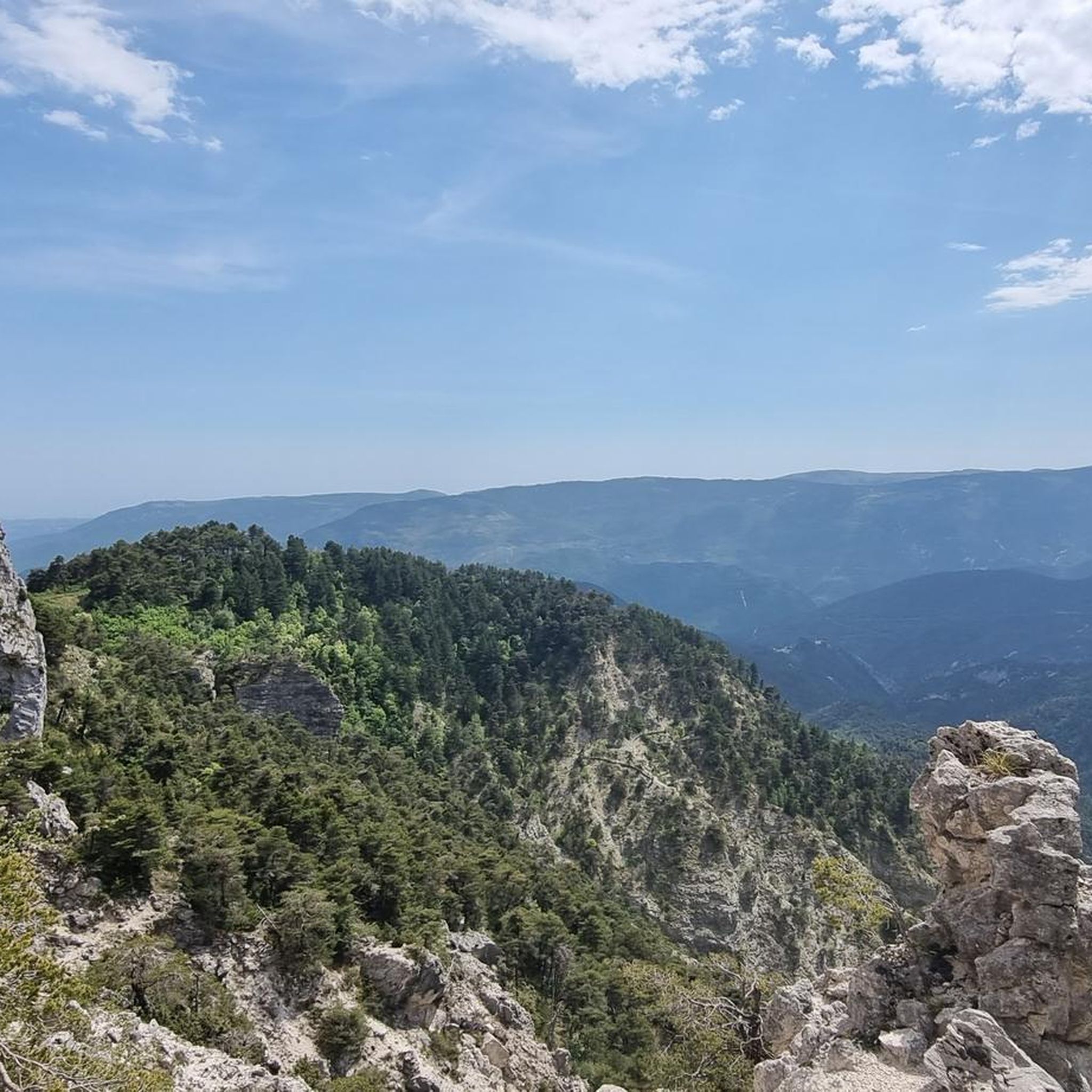
beautiful little village clinging to the mountain, a visit is essential
0
0

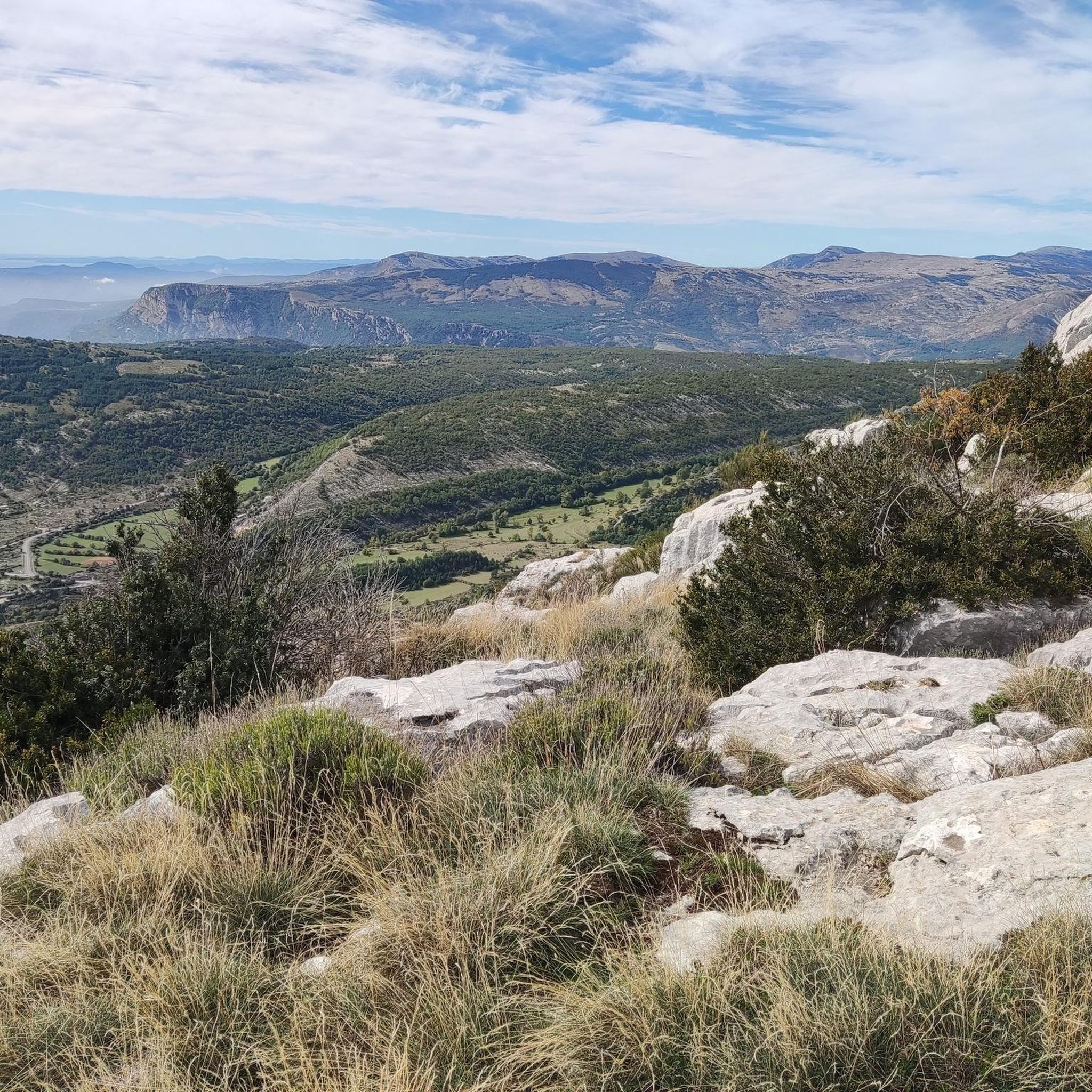
Very nice view of the Plaine du Var / Nice and 360° around.
0
0

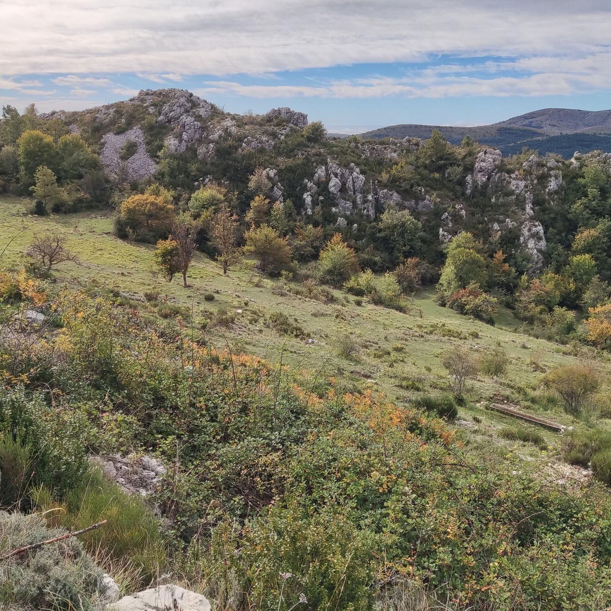
Culminating at 1550 meters, Mont Vial is one of the few peaks that can be identified from the sea. From the top, enjoy the beautiful panoramic view of the neighboring peaks!
0
0

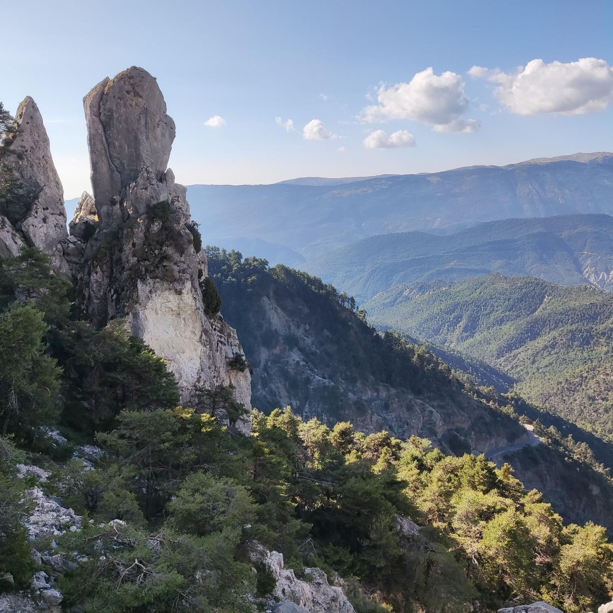
The Col de Ferres extends over 14.2 kilometers with an average slope of around 4%. There are steeper sections with gradients of 6-8% and the climb takes you to the altitude of 596 meters. The view of the valley is breathtaking!
3
0


Absolutely recommendable road. Hardly any cars and fabulous landscape
1
0
Pierrefeuでのの人気観光スポット

komootモバイルアプリでインスピレーションを得よう


さらに探索
他の地域の最高のハイキングを見てみましょう。
