テンデのおすすめウォーキング&ハイキングルート
4.5
(945)
6,565
ハイカー
105
ハイキング
テンデ周辺でのハイキングは、景色を満喫するのに最適な手段のひとつですが、適切なハイキングルートを見つけることは簡単ではありません。 テンデ周辺の人気ハイキング&ウォーキングコースを参考にすれば、行きたいルートをすぐに見つけられます。
最終更新日: 8月 19, 2026
4.8
(50)
380
ハイカー
15.8km
05:12
730m
730m
難しいハイキング. 標準以上のフィットネスレベルが必要です。 全般的に進みやすいルートです。安定して歩行できる技術が必要です。
4.8
(29)
152
ハイカー
10.8km
03:30
450m
450m
Hike the moderate 6.7-mile Forts Circuit Trail in Mercantour National Park, exploring historical forts and enjoying panoramic views.

無料新規登録
4.7
(29)
121
ハイカー
16.0km
05:12
650m
650m
The forts of Colle di Tenda loop tour offers a challenging hike through the border region between Italy and France. You will encounter varied terrain, from old military mule tracks…
4.5
(4)
27
ハイカー
17.6km
06:04
750m
740m
Embark on the Col de Tende Forts Circuit, a difficult hike that takes you across the historic Franco-Italian border. You will traverse varied terrain, including old military mule tracks and…
5.0
(1)
3
ハイカー
4.74km
01:23
110m
110m
Historic GR 52A trek past 19th-century border forts with sweeping Franco-Italian alpine vistas.
さらに多くのルートや他のユーザーのおすすめ情報を確認できます。
無料新規登録
すでにアカウントをお持ちですか?
おすすめのツアーは他のkomootユーザーが実際に経験した何千ものアクティビティに基づいています。
無料アカウントで今日から始めよう
次の冒険が待っています。
ログインまたは登録
テンデ周辺で人気
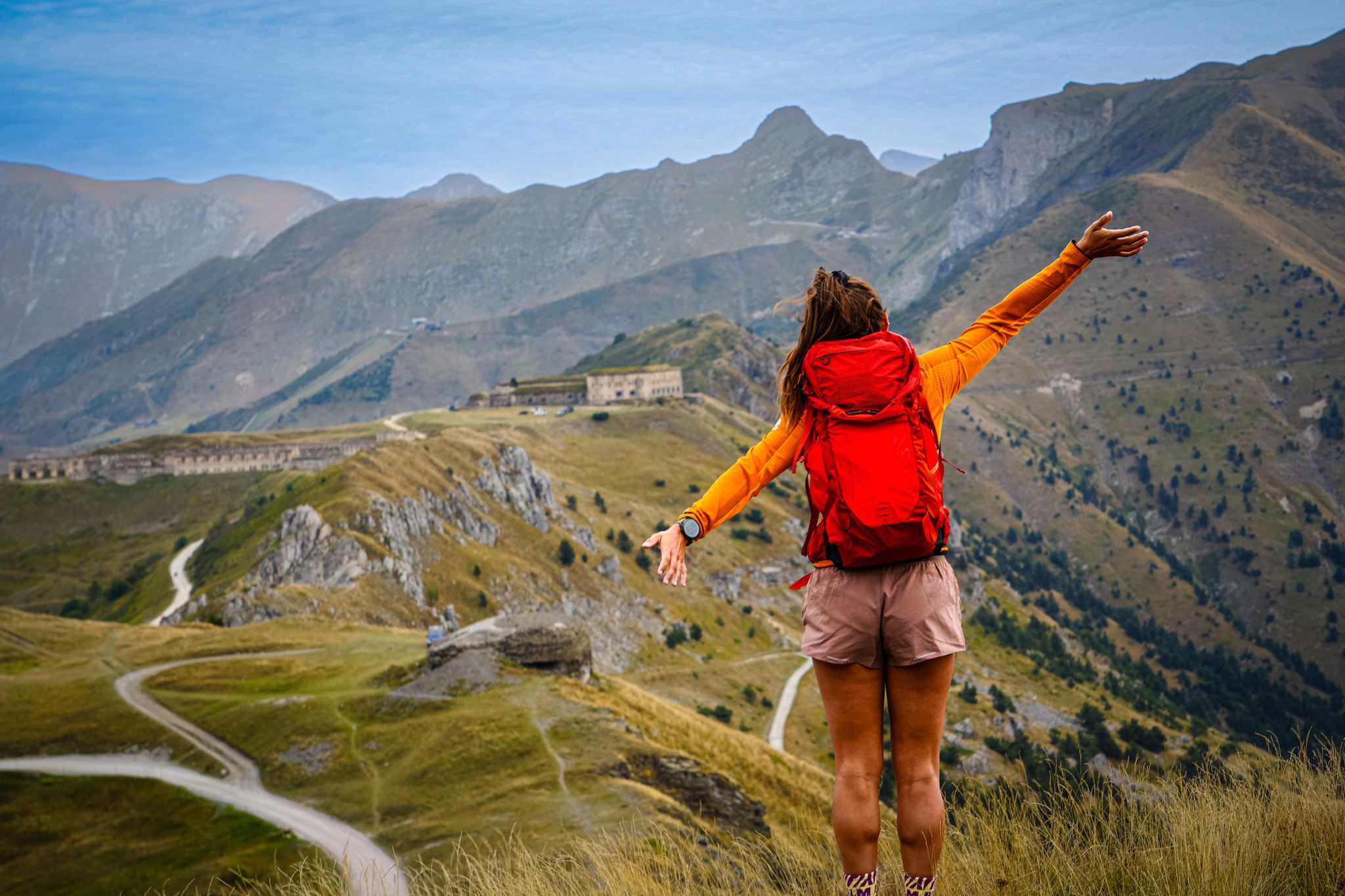
RivierALP – great hikes between the Alps and the Mediterranean

メルカントゥール国立公園を横断する – GR 52

コモート・トリノ=ニース・ラリー
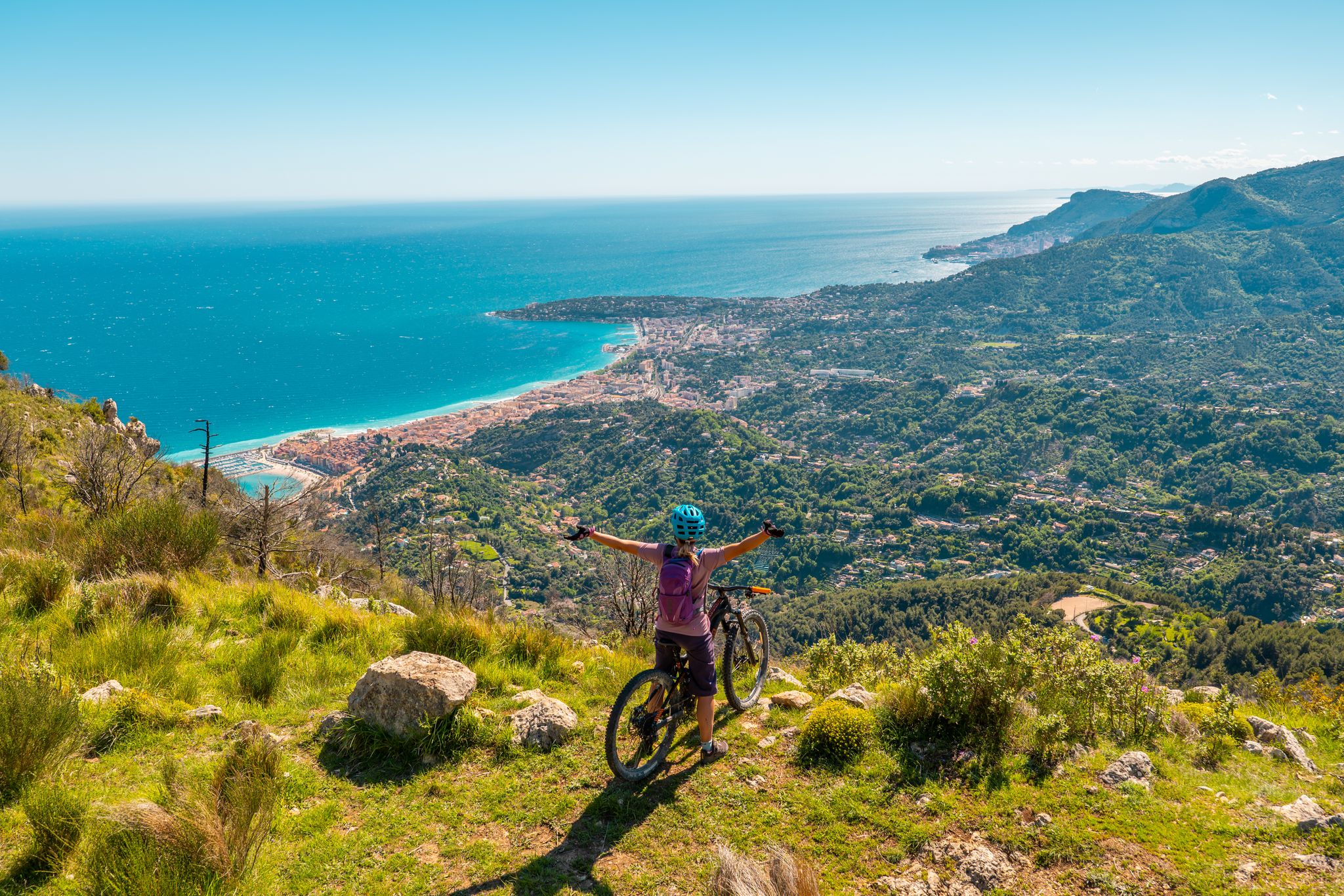
RivierALP – MTB routes from alpine passes to the Riviera
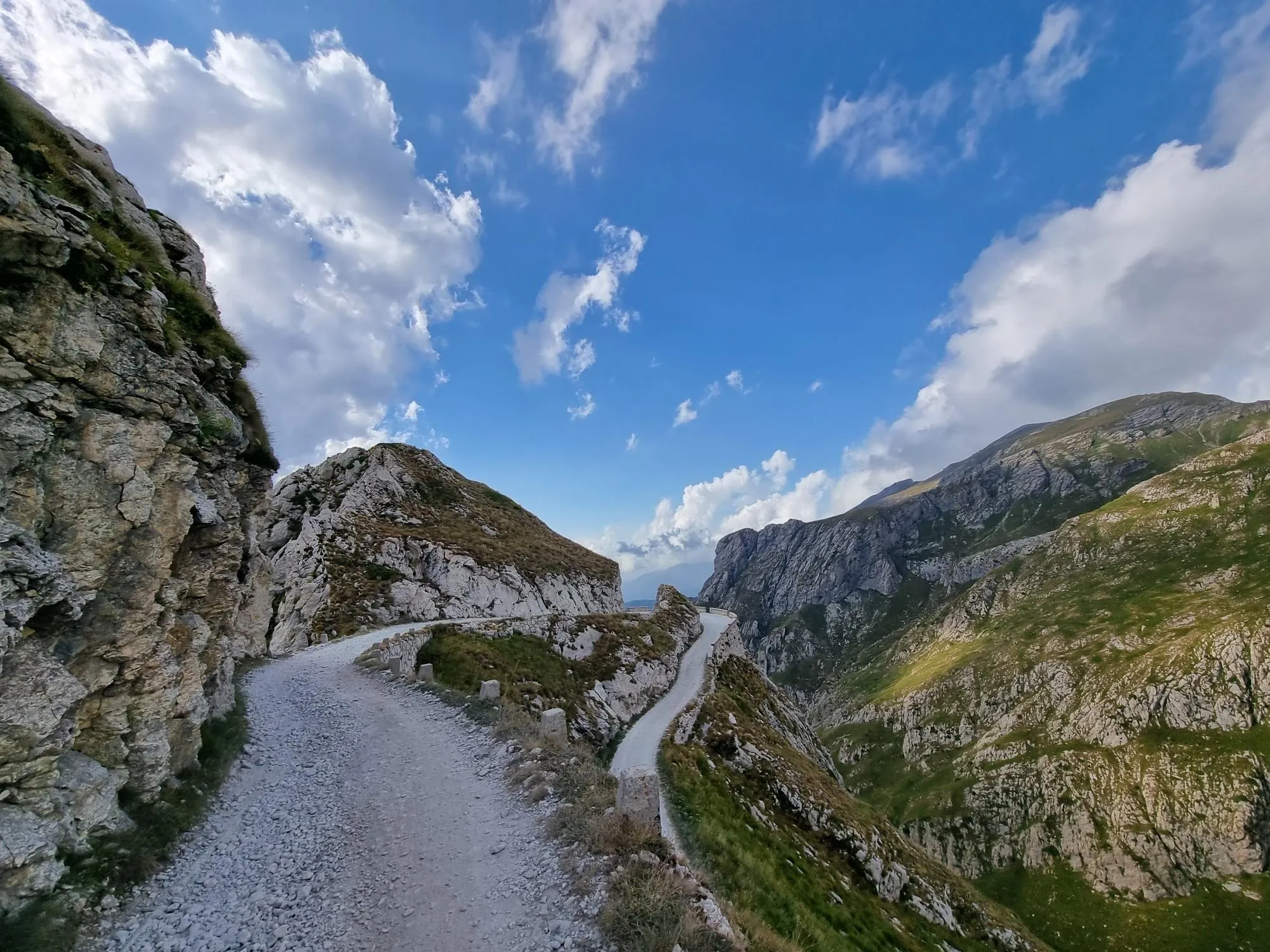
中地中海アルプスで白い金を狩る - Alta Via del Sale
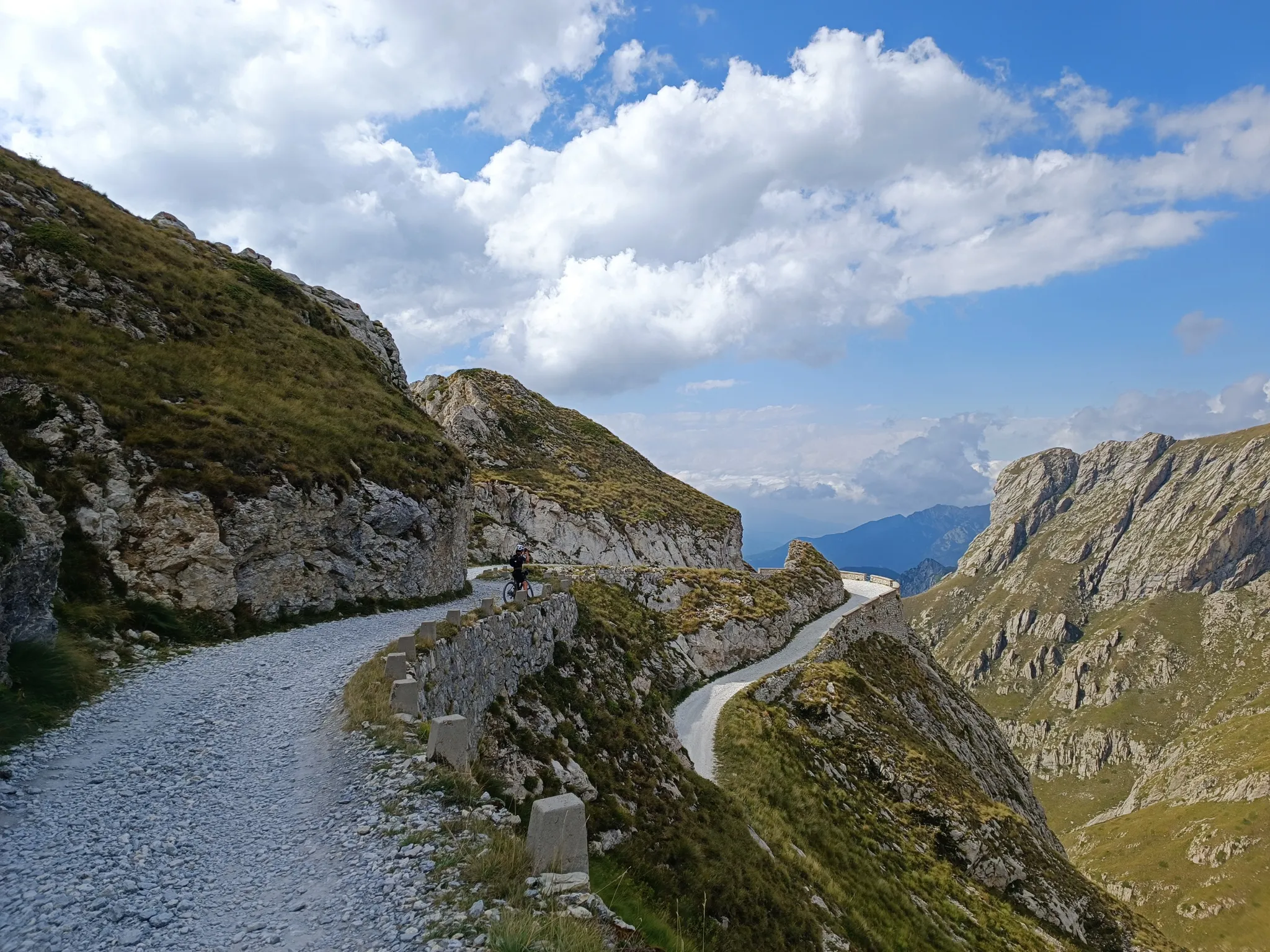
砂礫道路とセルペンティーヌ - 地中海アルプス自転車ルート
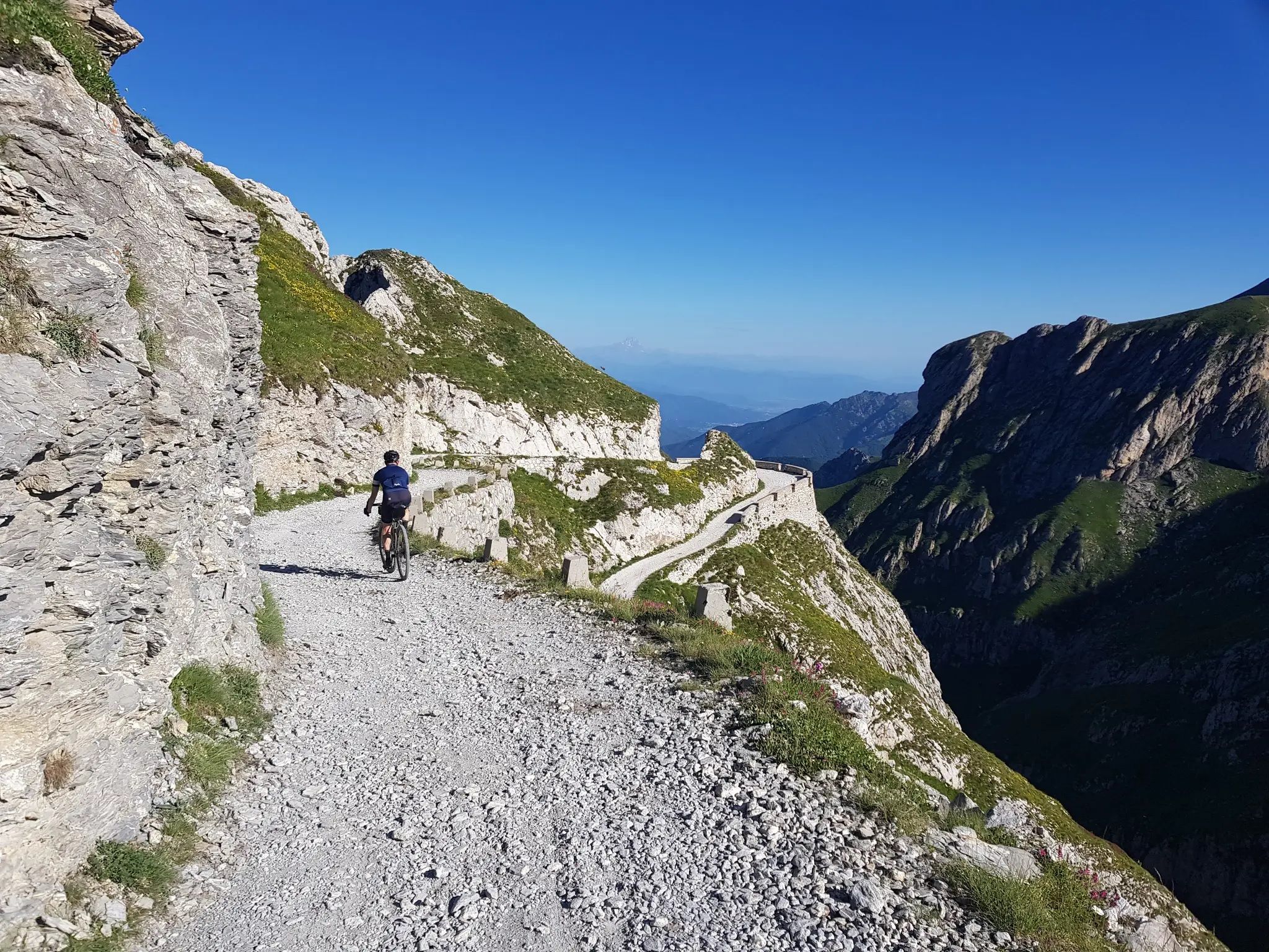
From the boot’s toe to the heel – the most beautiful cycling Tours in Italy
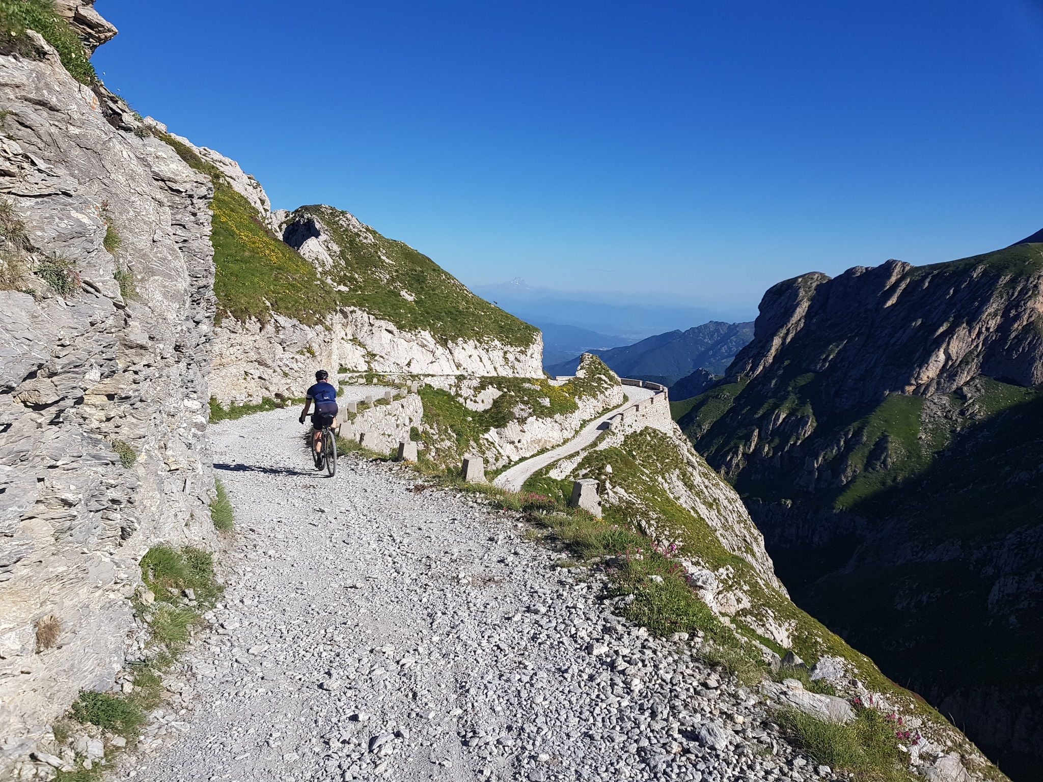
Mediterranean passes and gentle hills — cycling in Piedmont
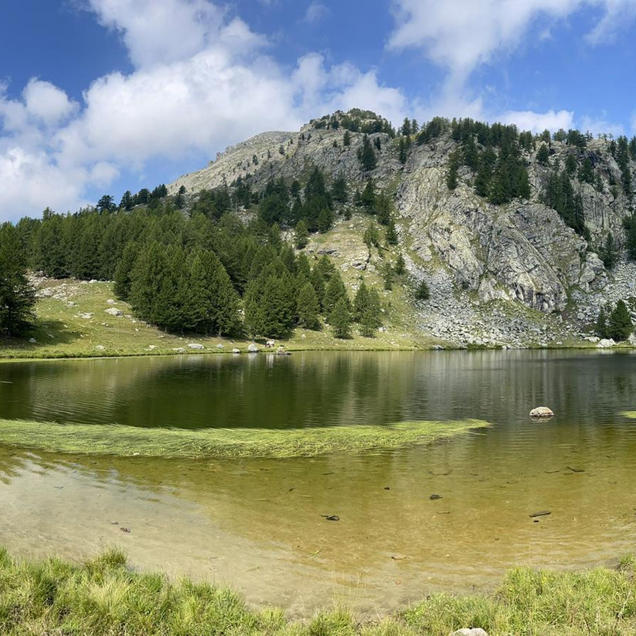
テンデのMTBトレイル
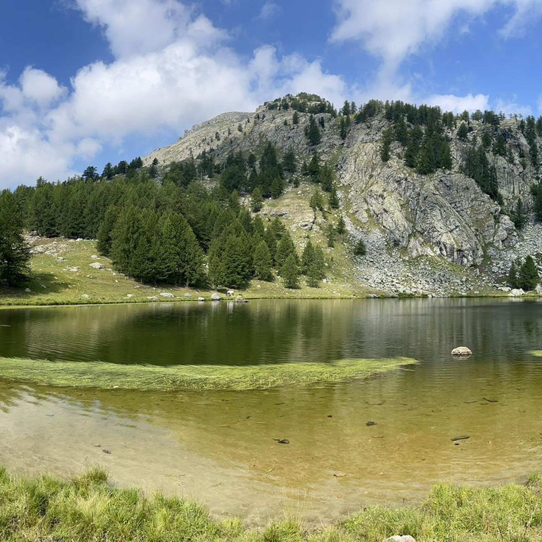
テンデのロードバイクルート
テンデでのの他の冒険


コミュニティからのヒント

Beautiful, steep, but the view is worth the effort, you can spot eagles.... The last stretch of the path is very rocky and narrow, so be careful ⚠️
1
0

On the descent near the tunnel, I found a landslide, by bike it was passable, but by car no.
0
0

https://youtu.be/rm1T5izm57A?si=Wjv8z7eOzrlJQNXL A wonderful, shimmering green lake, which the locals also like to swim in. There are certainly a lot of cars parked along the road on weekends. The scenery is fantastic.
0
0

Very beautifully situated reservoir, but the water is not inviting for swimming. The dam is definitely worth seeing.
0
0

The refuge is located on the banks of the upper Long lake, in the heart of the rock engravings of the Vallée des Merveilles, surrounded by numerous lakes and peaks: Bégo, Grand Capelet, Cime du Diable... The refuge is located in an open-air museum. This exceptional archaeological site, classified as a historical monument, extends between two valleys around Mont Bégo. There are 40,000 rock engravings dating from -4000 to -2000 BC, which are marks of pastoral occupation. When you cross the Vallée des Merveilles on the GR, you feel an almost mystical and very unusual side.
1
0

First time visitors should be warned this is a refuge, not a hotel. As such don’t go expecting anything more than basic facilities. If you want a shower then it will be with cold water taken and filtered directly from the nearby lake. Without exception, we found the staff to be very friendly, as were all the hikers we spoke to. No matter if you arrive alone or with a group, everyone is staying at the refuge for the same reason as you, and this makes starting a conversation with someone you don’t know very easy. The advantages you get from staying in such a refuge is knowing you’ll be given somewhere dry and warm to sleep, plus something hot to eat. When it came close to having dinner everyone helped move all the rectangle tables into one long one, where we all then sat and enjoyed an amazing hot stew with bread. After dinner it was a quick cold shower. After which we relaxed outside for a while before kipping down for the night. Breakfast here was available, as was a packed lunch to take on our onward journey. All of course at extra cost. Like all refuges around the world, there is a limit to the amount of hikers each can accommodate at any one time. Because of this you’ll need to book a place well in advance of your trip. Arriving on the day looking for a place is unlikely to be successful unless a booking goes unfilled, which wouldn’t be noticeable until well after sunset. You can camp outside near the refuge but you’ll need to get permission first.
2
0

It is not here that the asphalt ends but at Col di Tenda where the Strada dei Lacetti begins, which is a dirt road
0
0

Border point between Italy and France. The road on the Italian side is paved, while on the French side it is dirt.
0
0

komootモバイルアプリでインスピレーションを得よう


さらに探索
他の地域の最高のハイキングを見てみましょう。
