怒りのおすすめウォーキング&ハイキングルート
4.6
(1003)
4,948
ハイカー
159
ハイキング
怒り周辺でのハイキングは、景色を満喫するのに最適な手段のひとつですが、適切なハイキングルートを見つけることは簡単ではありません。 怒り周辺の人気ハイキング&ウォーキングコースを参考にすれば、行きたいルートをすぐに見つけられます。
最終更新日: 9月 17, 2026
5.0
(7)
25
ハイカー
20.0km
08:16
1,370m
1,370m
難しいハイキング. 標準以上のフィットネスレベルが必要です。 安定して歩行できる技術、丈夫な靴、高標高地での登山経験が必要です。
4.7
(62)
306
ハイカー
11.1km
03:45
490m
490m
中程度のハイキング. ある程度のフィットネスレベルが必要です。 全般的に進みやすいルートです。安定して歩行できる技術が必要です。

4.7
(56)
179
ハイカー
14.7km
04:25
360m
360m
中程度のハイキング. ある程度のフィットネスレベルが必要です。 全般的に進みやすいルートです。安定して歩行できる技術が必要です。
4.6
(45)
199
ハイカー
5.56km
01:31
80m
80m
初級者向けハイキング. あらゆるフィットネスレベルに適しています。 進みやすいルートです。あらゆるスキルレベルに適しています。
4.6
(35)
145
ハイカー
8.85km
02:30
190m
180m
中程度のハイキング. ある程度のフィットネスレベルが必要です。 進みやすいルートです。あらゆるスキルレベルに適しています。
さらに多くのルートや他のユーザーのおすすめ情報を確認できます。
すでにアカウントをお持ちですか?
おすすめのツアーは他のkomootユーザーが実際に経験した何千ものアクティビティに基づいています。

コミュニティからのヒント


Very beautiful chapel and also near the alm
0
0
While it would have been good if you hadn't been in a cloud
0
0

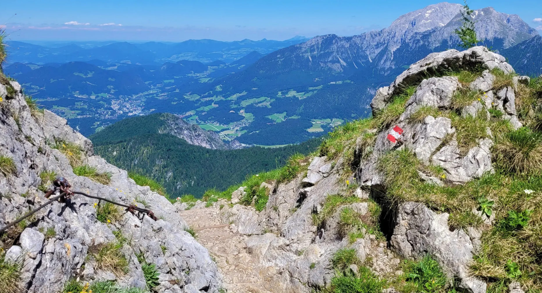
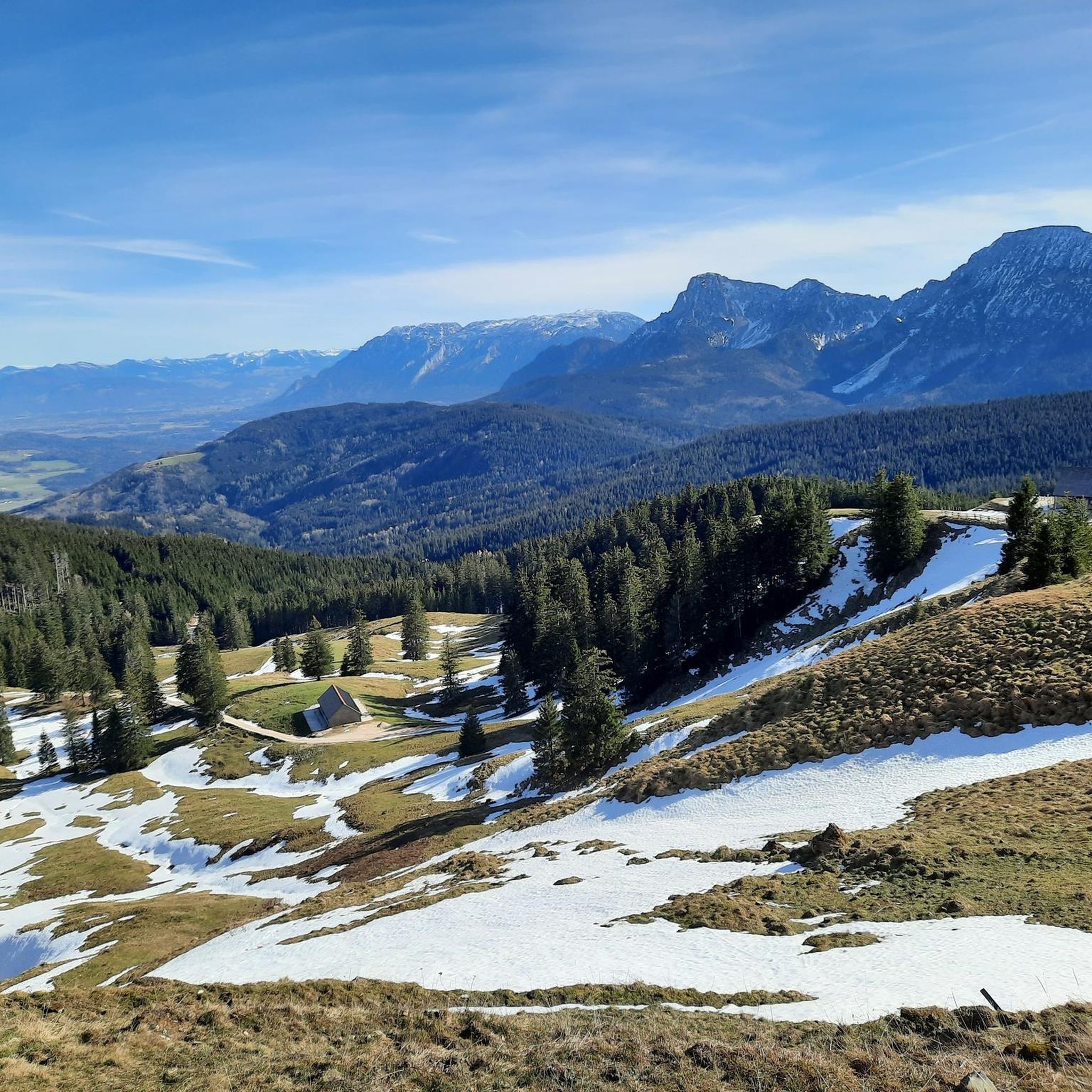
A challenging hiking trail also leads from the Steiner Alm to the Hochstaufen. Along with the standard route from the Padinger Alm, the ascent via the Steiner Alm is one of the easier routes up the Hochstaufen. However, several cable-secured sections make the trail on the north side of the Hochstaufen more challenging than the ascent on the south side. A minimum level of surefootedness is required. From the tree line, you can enjoy the interesting rocky scenery as well as beautiful views of the Chiemgau region with Lake Chiemsee and the Salzburger Land. Source: https://www.berchtesgaden.de/steineralm
1
0


Although the Berchtesgadener Land is a biosphere reserve and the area around Lake Höglwörth is a landscape conservation area, bathing and swimming in the lake is permitted at two designated spots. Opposite the larger bathing area on the northern shore of the lake, there is a small beach with lake access here in the south.
7
0
Although the Berchtesgadener Land is a biosphere reserve and the area around Lake Höglwörth is a landscape conservation area, bathing and swimming in the lake is permitted at two designated spots. The lakeside bathing area dates back to a time long before the conservation area was declared. It is the larger of the two bathing spots and is located on the northern shore of the lake, with a lawn and a small jetty. The Lakeside Café is also located here.
7
0
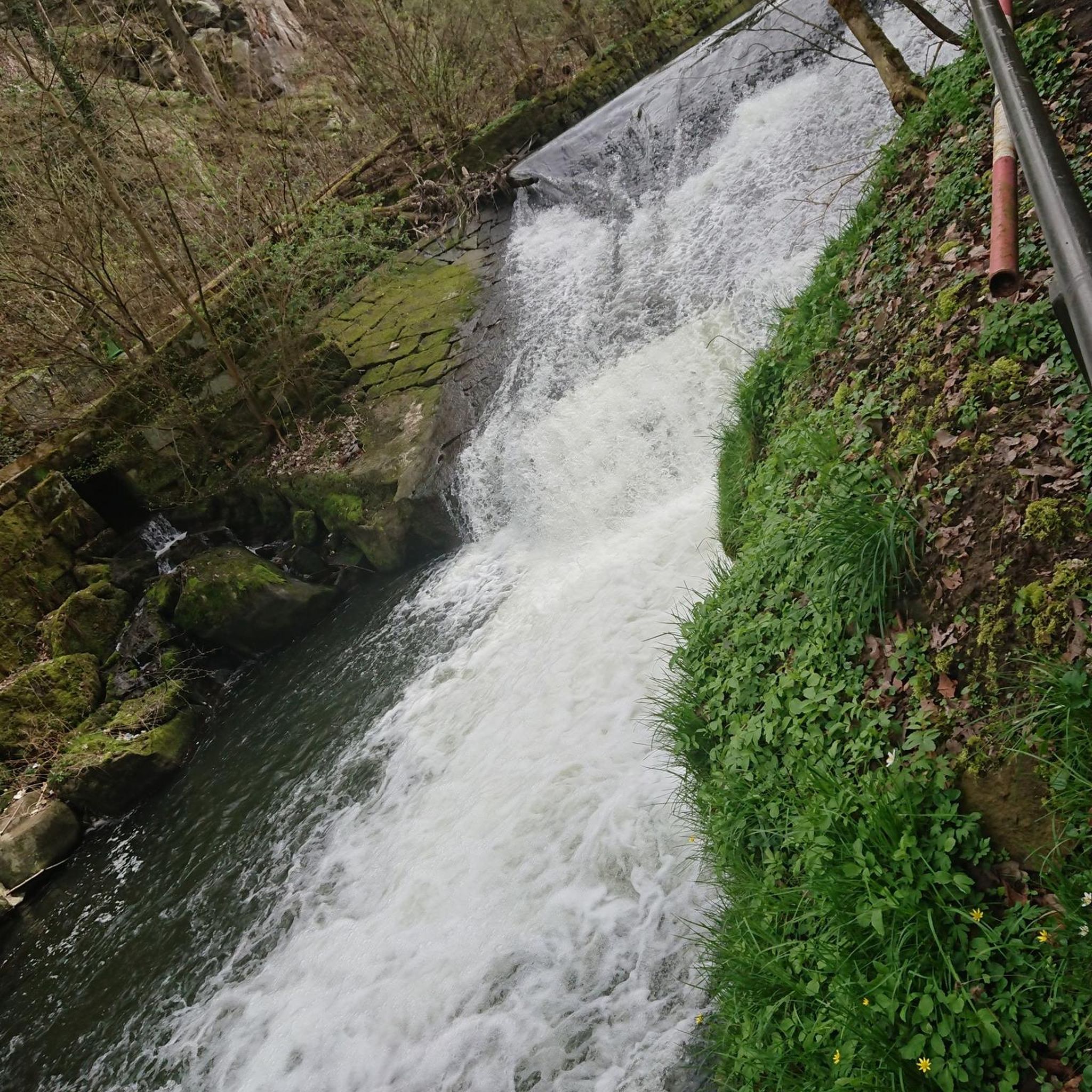
The Schornbach and Höglwörther Seebach streams, both of which rise in the hills west of the A8 motorway, merge in a pond above Lake Höglwörth. From there, the lake's largest tributary cascades through the forest, plunging more than 30 meters down the slope to the west of the lake, via numerous stone cascades.
15
0

komootモバイルアプリでインスピレーションを得よう


さらに探索
他の地域の最高のハイキングを見てみましょう。
