怒りの峠・トップ7
最終更新日: 11月 8, 2026
リードル峠への急な登り
ハイライト (セグメント) • 山道
翻訳者 Google •
役立つ情報 は

ファルケンシュタインの眺め
ハイライト • 展望台
翻訳者 Google •
役立つ情報 は

今すぐサインアップして、こんな場所を発見しよう
最高のシングルトラック、ピーク、その他のエキサイティングなアウトドアスポットのおすすめを受け取ろう。
ビヒル峠(740m)
ハイライト (セグメント) • 山道
翻訳者 Google •
役立つ情報 は

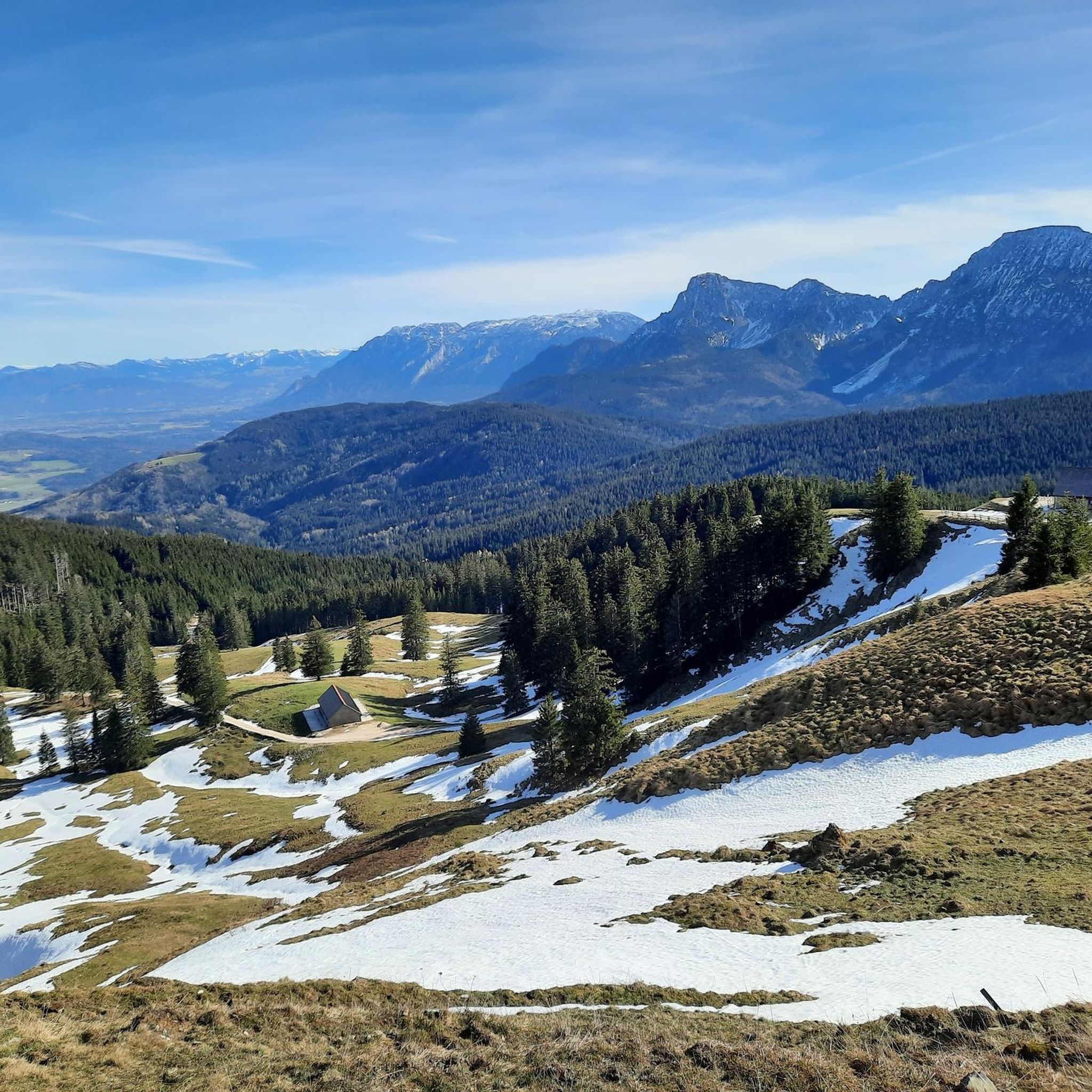
レイターアルペの眺め
ハイライト • 展望台
The Reiter Alm, also Reiter Alpe, in Austria also Reither Steinberge, named after the Reit district of …
翻訳者 Google •
役立つ情報 は
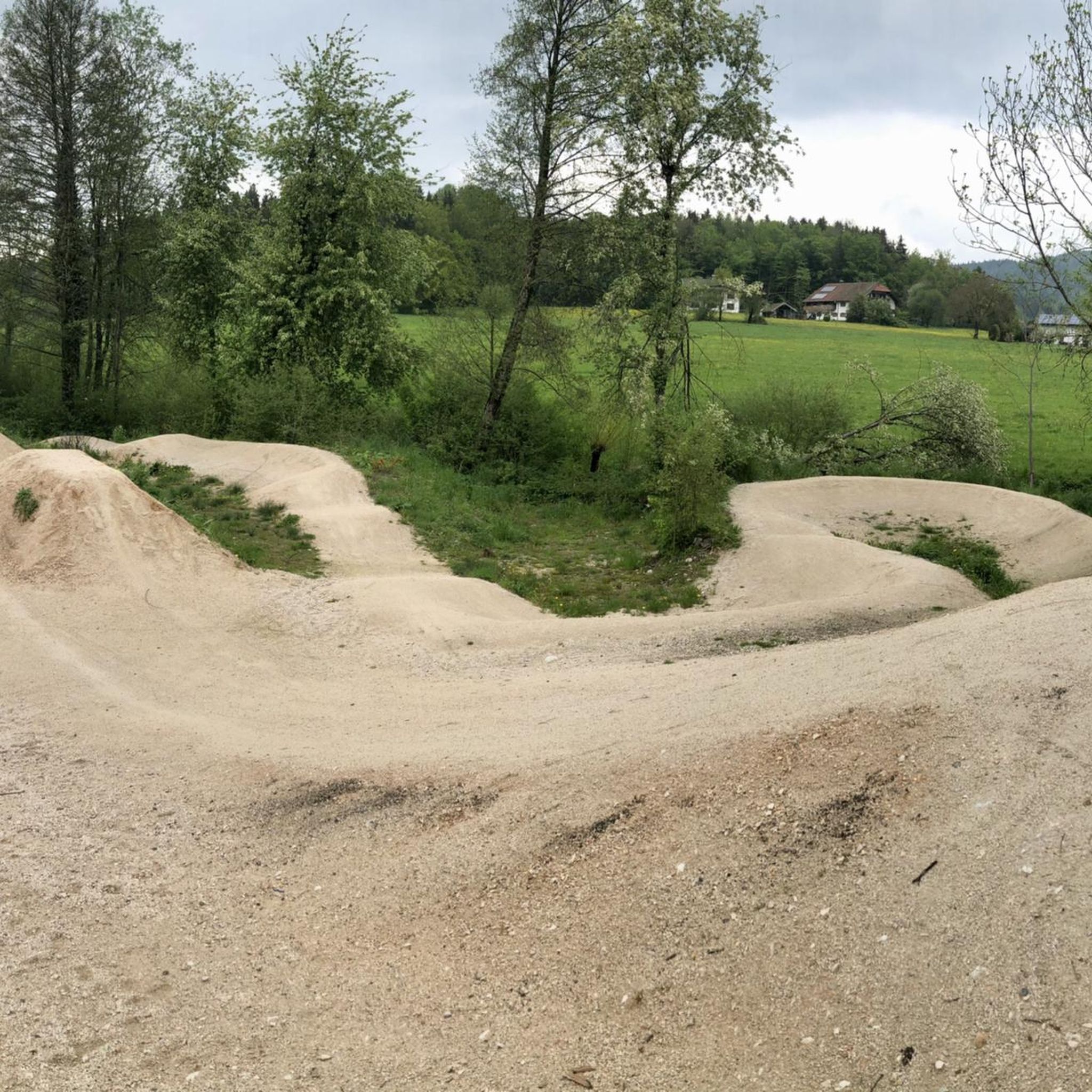
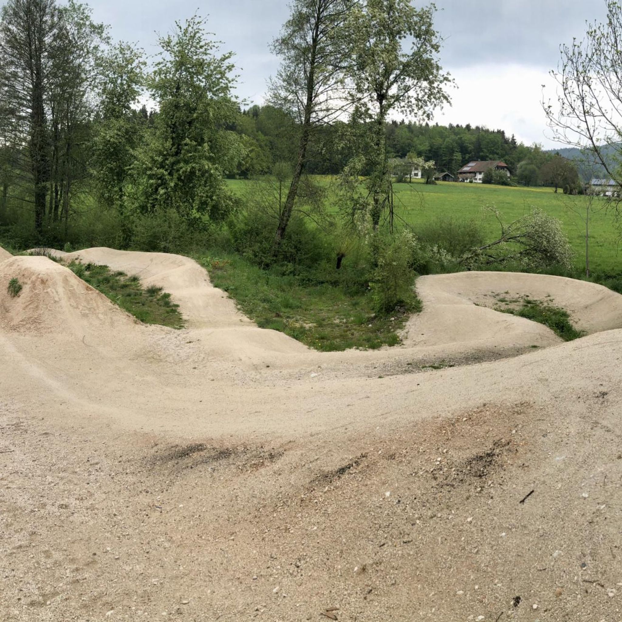
インツェラー・ヘーエ
ハイライト (セグメント) • 山道
翻訳者 Google •
役立つ情報 は

無料でサインアップして、さらに多くの山道を発見しましょう 怒りでの。
すでにアカウントをお持ちですか?

コミュニティからのヒント

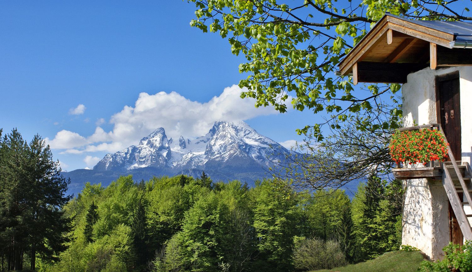
The Falkenstein forms a small, isolated mountain range stretching north-northeast. It stretches over 1.9 kilometers but is only 1 kilometer wide. To the north is the 785 meter high Söldenberg. The Falkenstein range has two peaks - a 1092 meter high pre-summit with a summit cross in the north (north peak) and the actual 1181 meter high main peak at the southern end of the range. Orographically, the southwest side of the Falkenstein range is separated from the Kienbergl (1135 m) in the west by a rather narrow valley. A small stream flows through this valley, ending in the Zwingsee at the western foot of the mountain, and it is also crossed by the German Alpine Road (B 305). The east side of the Falkenstein forms the wide valley, which separates it from Scharnkopf (1356 m) and Gruberhörndl (1493 m). The Falkenseebach flows through the Weittal into the Falkensee and then further north in the direction of Inzell. The Falkenseebach rises in several springs at the southern end of the wide valley west below the Great Tower (1120 m). Just under 900 meters southwest of the main summit, the so-called Weißbach waterhole also flows out of the so-called water hole at the end of the Weittal, which, however, continues south past Scharmann in the direction of the Weißbach glacier garden. The watershed between the catchment area of the Rote Traun and the Saalach runs between these two source areas. At the northeast end of the Falkenstein below the Söldenberg is the Krottensee, whose small outflow flows into the Falkenseebach on the left. (Wikipedia)
0
0

The eastern driveway starts near Neukirchen am Teisenberg right next to the A8, where the road to Riedl branches off into the forest. On the following two kilometers there are now 154 meters of altitude to conquer. Immediately you are confronted with a twelve percent ramp. We initially move parallel to the motorway before the little road bends to the left and thus in a south-westerly to southerly direction. The most difficult section lurks when you leave the forest. Not only the maximum gradient of 13 to 14 percent, but also the sunshine on hot summer days make this section particularly hard. You can already see the goal in front of you, but you still have to climb one last trick. The highest point is then reached at an elevated tank and you can plunge into the descent.
1
0

Coming from Adlgass at Inzeller Höhe, you have fully made the climb. Direction Anger, so straight ahead here, it's only downhill. First a gravel road, later a paved road. Very good to drive. But if you turn right here towards Fürmannalm, it will be a mountain bike route. Rather unsuitable with a normal bike. Very steep downhill and big stones on the way.
1
0
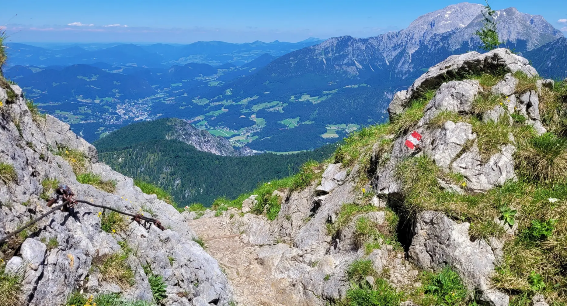
View of the Wartsteinkopf, a 1772 m high pre-summit of the Reiter Alpe. The Reiter Alm, also Reiter Alpe, in Austria also Reither Steinberge, named after the Reit district of the municipality of Unken, is up to 2286 m above sea level. NHN high table mountains of the Berchtesgaden Alps in the federal states of Bavaria (Germany) and Salzburg (Austria). The Reiter Alm is the western boundary of the Berchtesgaden valley basin and rises to the east of the Saalachtal near Lofer and Unken.
0
0

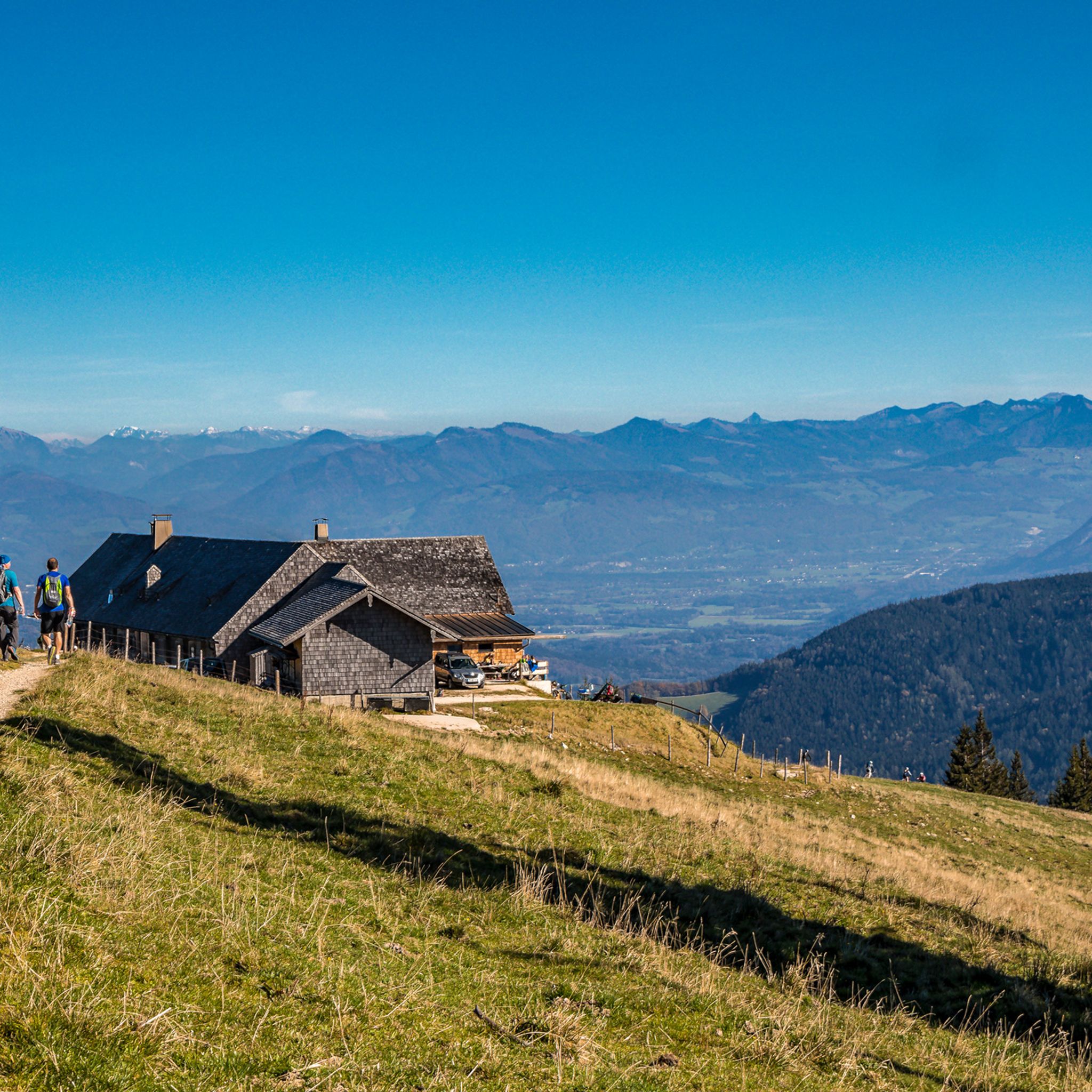
Beautiful vantage point to take a breather.
0
0

Dreamlike street in the Bavarian picture book landscape between Neukirchen am Teisenberg and Surbeg. Highest point is the Bichl Pass at 740 m.
1
0

komootモバイルアプリでインスピレーションを得よう


さらに探索
これらのガイドでさらに壮大な山道を見てみましょう怒りでの:
