アルプドオートプロヴァンスのおすすめウォーキング&ハイキングルート
4.5
(33893)
218,097
ハイカー
2,313
ハイキング
アルプドオートプロヴァンスでのハイキングに出かけて、アルプマリティムのこのエリアを探索してみませんか?このガイドでご紹介するのは、komootがアルプドオートプロヴァンスでのハイキング・ウォーキングルートのコレクション全体を評価して選び抜いた、このエリアの人気ハイキングルートです。あなたに合った でのハイキングを見つけるには、他のユーザーがアップロードした役立つ情報や写真を閲覧し、各ルートに関するみんなの意見やコメントを参考にしましょう。
最終更新日: 10月 10, 2026
4.7
(160)
1,280
ハイカー
10.6km
04:32
700m
700m
難しいハイキング. ある程度のフィットネスレベルが必要です。 安定して歩行できる技術、丈夫な靴、高標高地での登山経験が必要です。
4.8
(273)
1,138
ハイカー
7.84km
02:41
410m
410m
中程度のハイキング. ある程度のフィットネスレベルが必要です。 全般的に進みやすいルートです。安定して歩行できる技術が必要です。

4.6
(189)
968
ハイカー
6.75km
01:56
160m
150m
難しいハイキング. あらゆるフィットネスレベルに適しています。 安定して歩行できる技術、丈夫な靴、高標高地での登山経験が必要です。
4.7
(159)
574
ハイカー
9.24km
02:31
130m
130m
中程度のハイキング. ある程度のフィットネスレベルが必要です。 全般的に進みやすいルートです。安定して歩行できる技術が必要です。
4.9
(33)
543
ハイカー
15.8km
05:47
900m
900m
難しいハイキング. 標準以上のフィットネスレベルが必要です。 安定して歩行できる技術、丈夫な靴、高標高地での登山経験が必要です。
4.6
(134)
470
ハイカー
4.58km
01:18
100m
100m
初級者向けハイキング. あらゆるフィットネスレベルに適しています。 進みやすいルートです。あらゆるスキルレベルに適しています。
4.9
(77)
635
ハイカー
9.05km
03:29
420m
430m
難しいハイキング. ある程度のフィットネスレベルが必要です。 安定して歩行できる技術、丈夫な靴、高標高地での登山経験が必要です。
4.6
(115)
705
ハイカー
4.34km
01:32
160m
160m
中程度のハイキング. あらゆるフィットネスレベルに適しています。 全般的に進みやすいルートです。安定して歩行できる技術が必要です。
4.8
(622)
4,410
ハイカー
20.0km
06:11
510m
510m
難しいハイキング. 標準以上のフィットネスレベルが必要です。 安定して歩行できる技術、丈夫な靴、高標高地での登山経験が必要です。
5.0
(35)
425
ハイカー
18.2km
07:50
1,100m
1,090m
難しいハイキング. 標準以上のフィットネスレベルが必要です。 安定して歩行できる技術、丈夫な靴、高標高地での登山経験が必要です。
さらに多くのルートや他のユーザーのおすすめ情報を確認できます。
すでにアカウントをお持ちですか?
おすすめのツアーは他のkomootユーザーが実際に経験した何千ものアクティビティに基づいています。
無料アカウントで今日から始めよう
次の冒険が待っています。
アルプドオートプロヴァンス周辺で人気
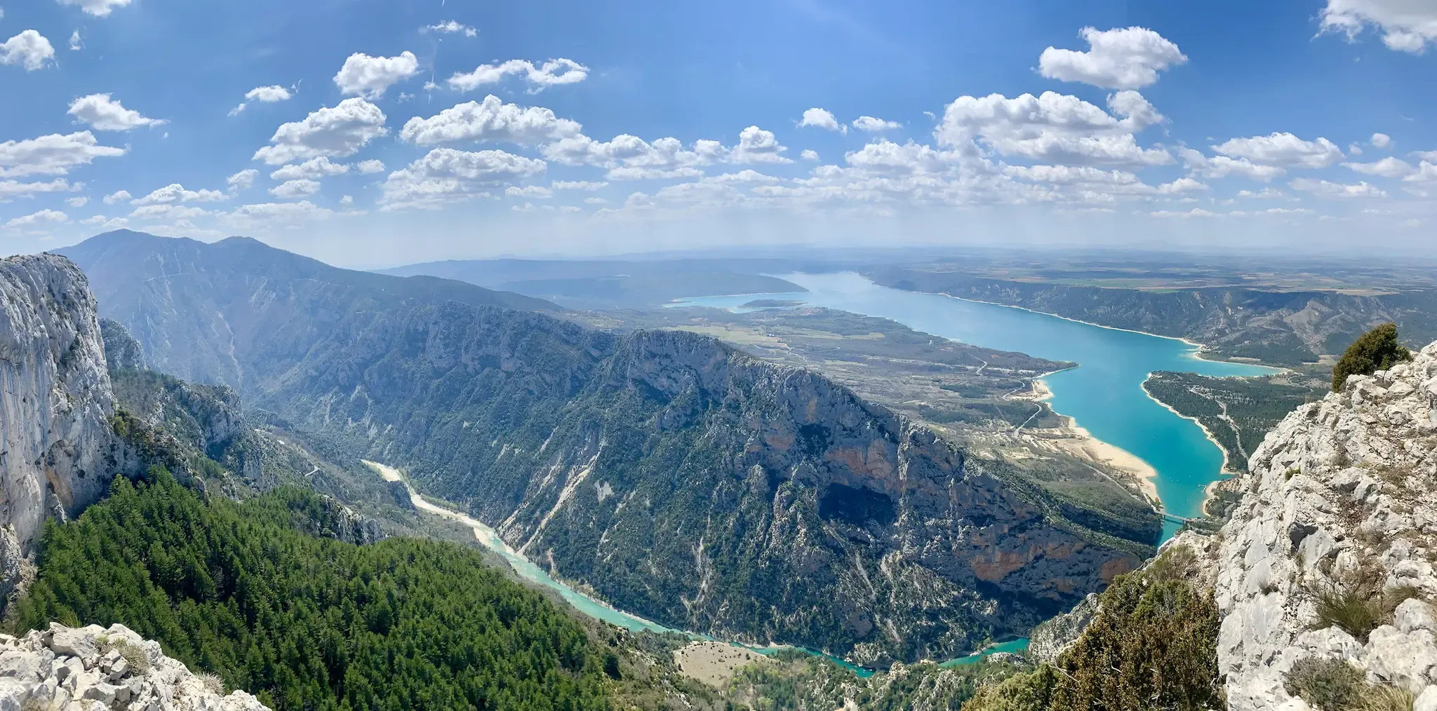
フランス南部を横断する – 大西洋海岸からプロバンスまで (GR 4)
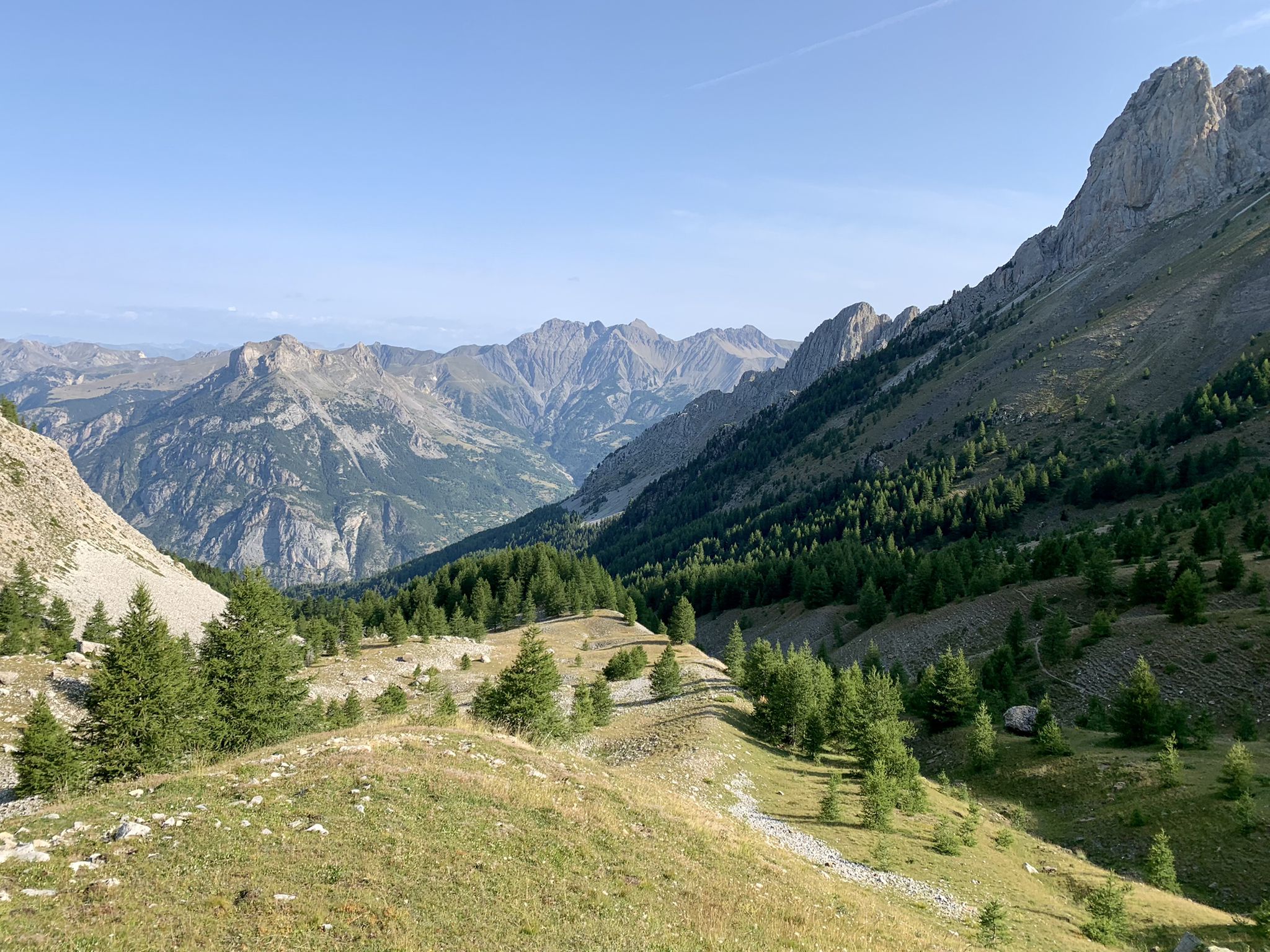
アルプスから大西洋へ — GR 6
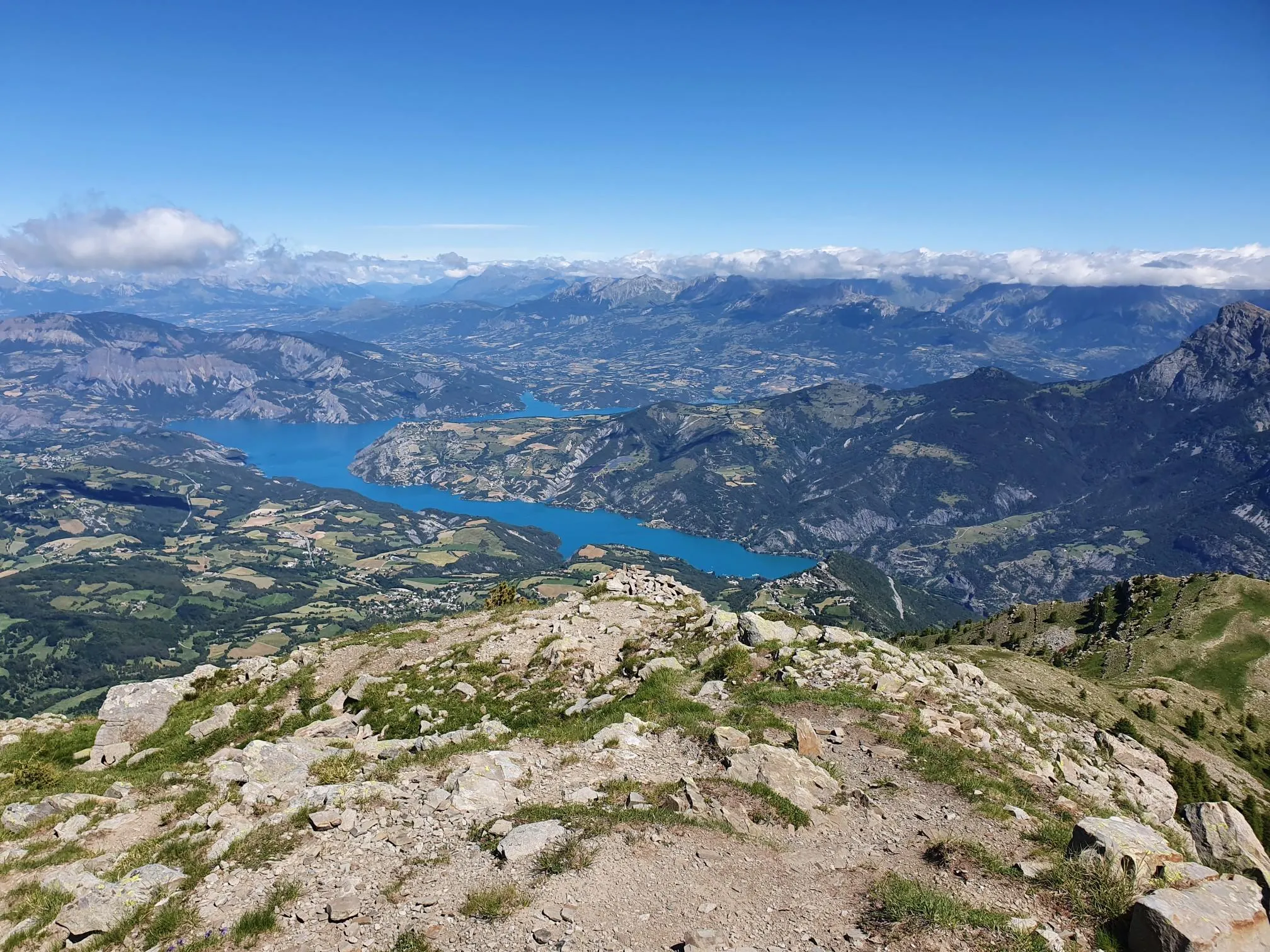
10 geological hikes in the Alpes-de-Haute-Provence – Cradle of the Geoparks
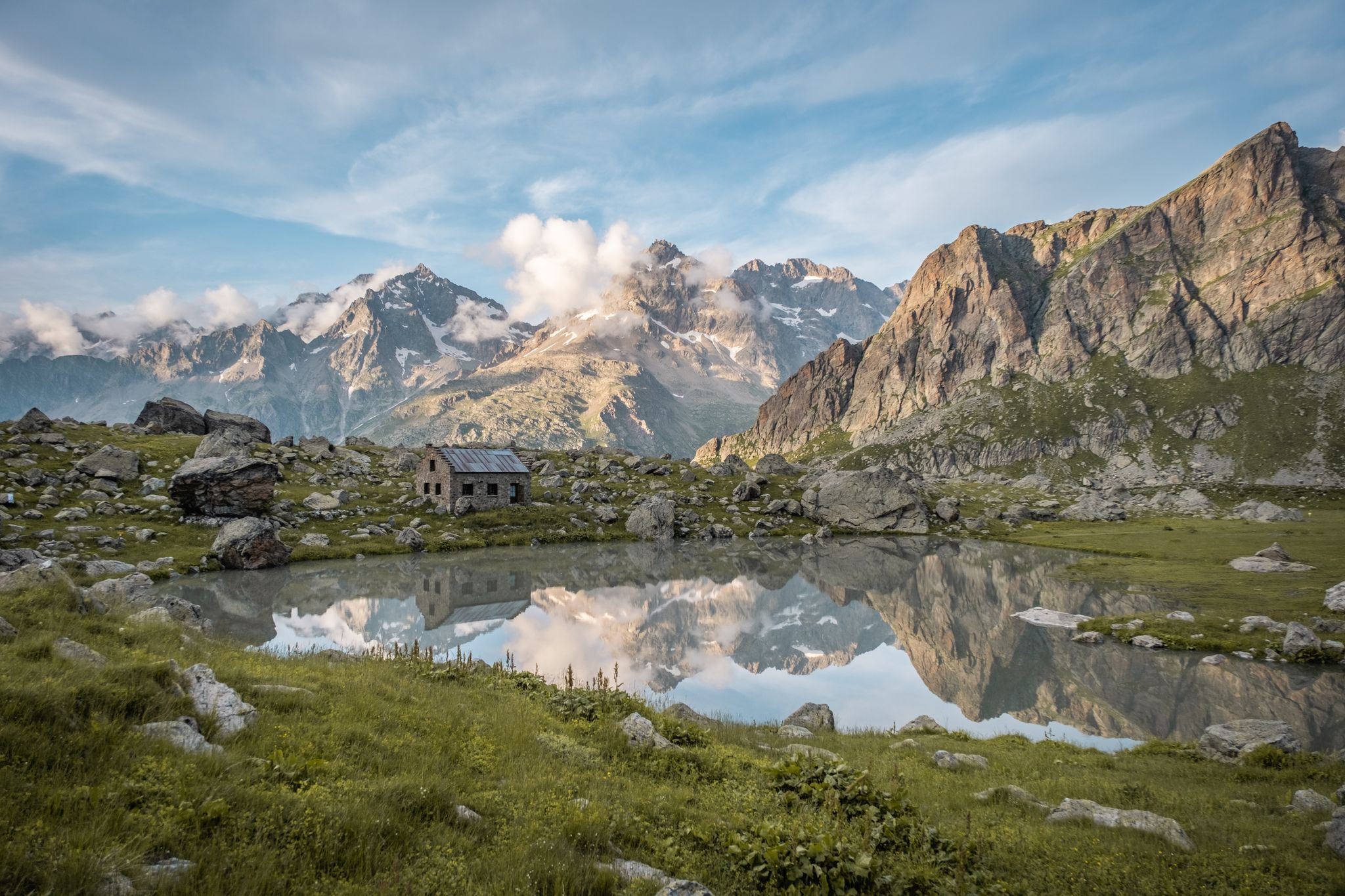
Seven hikes in France’s Southern Alps – refuges and high peaks

サン=ティエン=ド=ティネからブリアンソンへのハイキング–ヨーロッパトレイル(GR 5)
ナリプルドル路後 - GR 406
プロバンスの山脈を通じて - Tour du Luberon (GR 97)

マウンテンとマーモット — フランスのウバイエトレイル (GR 56)

みみの影地エブックト — 15交の影山が 3000m アルパーが上です

MigrAction - ゴルークトの会调
アルプドオートプロヴァンスでのの他の冒険


コミュニティからのヒント

モン・ペラ(3051m)は、フランスのメルカントゥール山塊で最も際立った頂の一つです。頂上からは、アルプ・ド・ユート・プロヴァンスから地中海まで、印象的なパノラマビューが広がります。人気の登頂ルートは、アロス湖から上っていきます。この眺めの良い山岳ツアーには、足元の確実さと良好な体力が求められます。
0
0

There had been a lot of rain in the last few days. The west side of the walk is very hard in places and the path at the bottom of the metal stairs had washed away and the hand holds could not be reached. It was very dangerous as were several sections where the path is on an angle. This was for a distance of about 500 metres either side of the metal ladder. In places the path is only 30-50 cm wide with a vertical drop of 50-75 metres and certain death if you slip. Not suitable for children or people who are not experienced mountain walkers. A strong walking pole was very useful.
0
0

In September with a strong water flow, it's magnificent. Not to be missed under any circumstances.
2
0

Beautiful hike! We just weren't aware that just below the highest point of this hike, on the southeast side, you had to climb and scramble over boulders for a long stretch. So, no path. Luckily, there were ropes in two places to hold on, but these 60-plus hikers had a tough time. Pay close attention to the yellow markers on this section!
1
0

You shouldn't have a problem with it being dark, cold and narrow; the tunnel is long and really tough, as there's a lot of water in it.
0
0
This is where the gorge is truly at its most beautiful.
0
0
To Do. Slightly steep descent which can be slippery in wet conditions. A section not recommended for those who suffer from vertigo.
0
0
アルプドオートプロヴァンスでのの人気ルート

komootモバイルアプリでインスピレーションを得よう


さらに探索
他の地域の最高のハイキングを見てみましょう。
