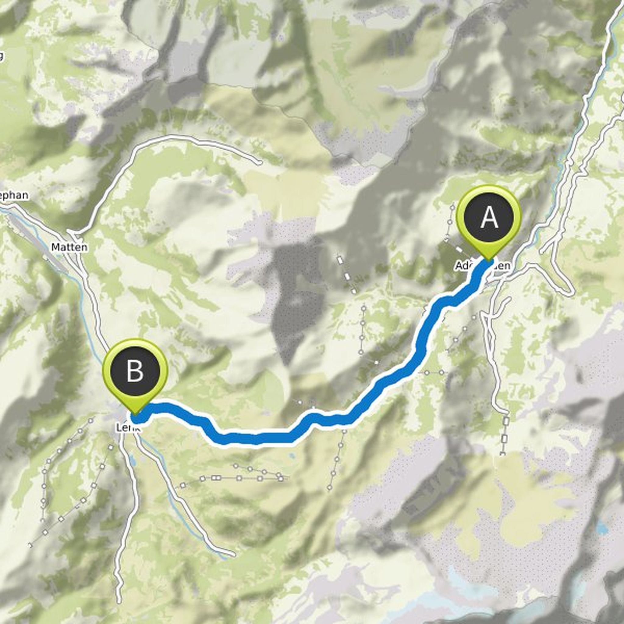
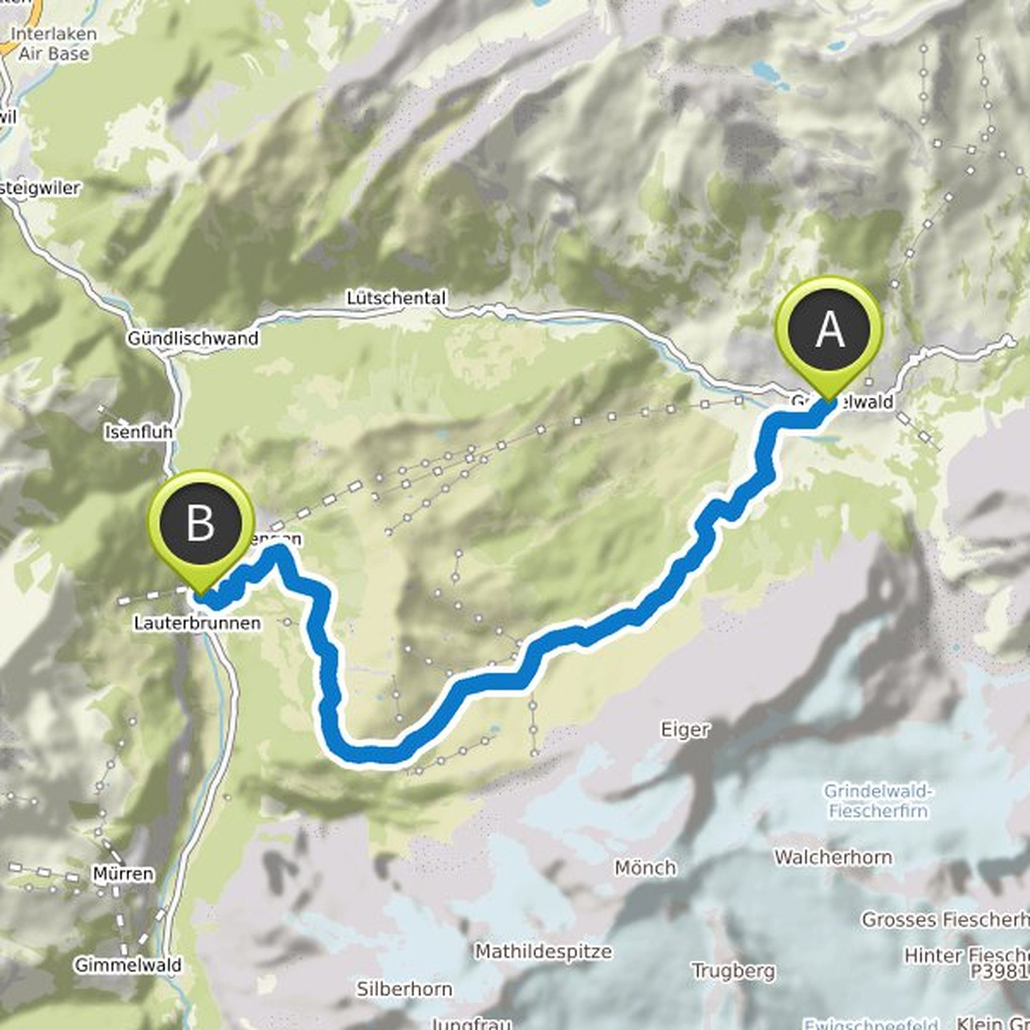
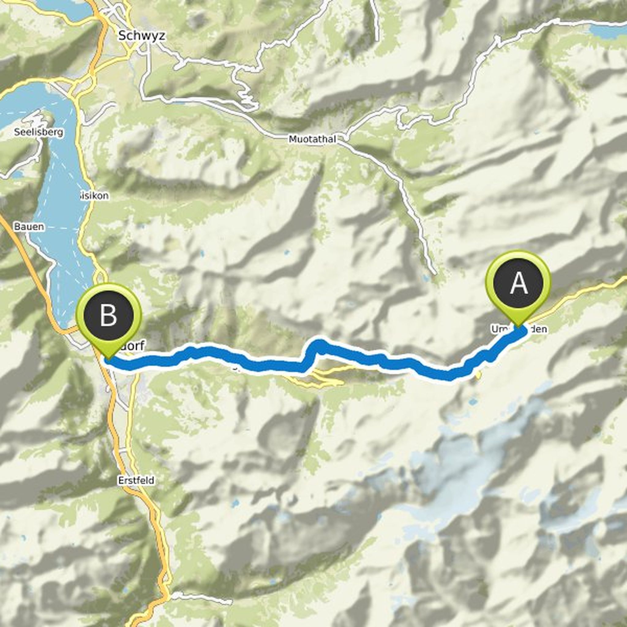
Timeline
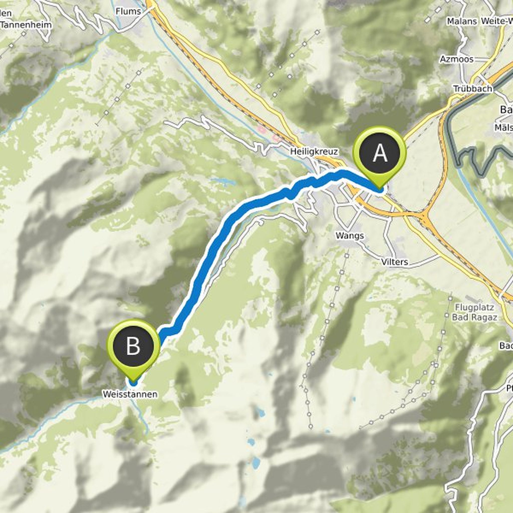
Via Alpina planned a hike
December 19, 2019
Time
Distance
Speed
Ascent
Descent
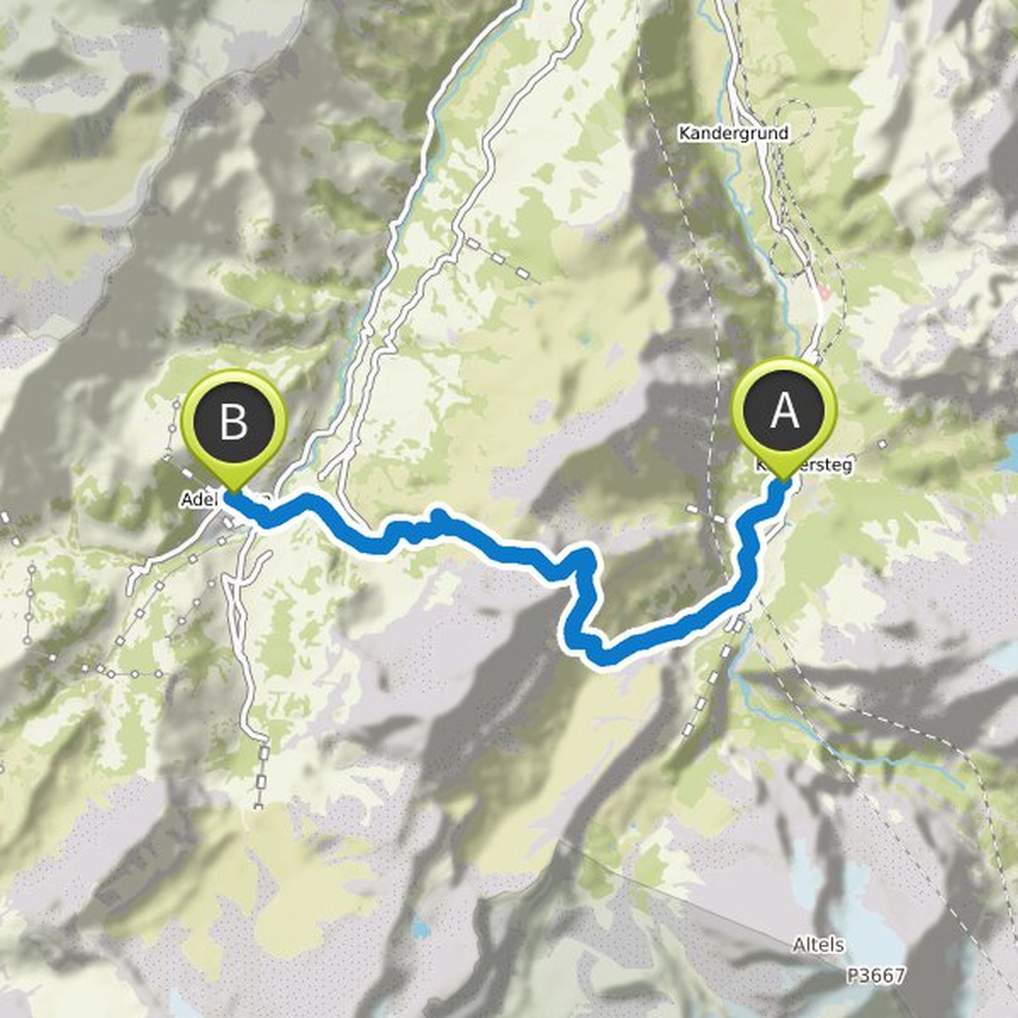
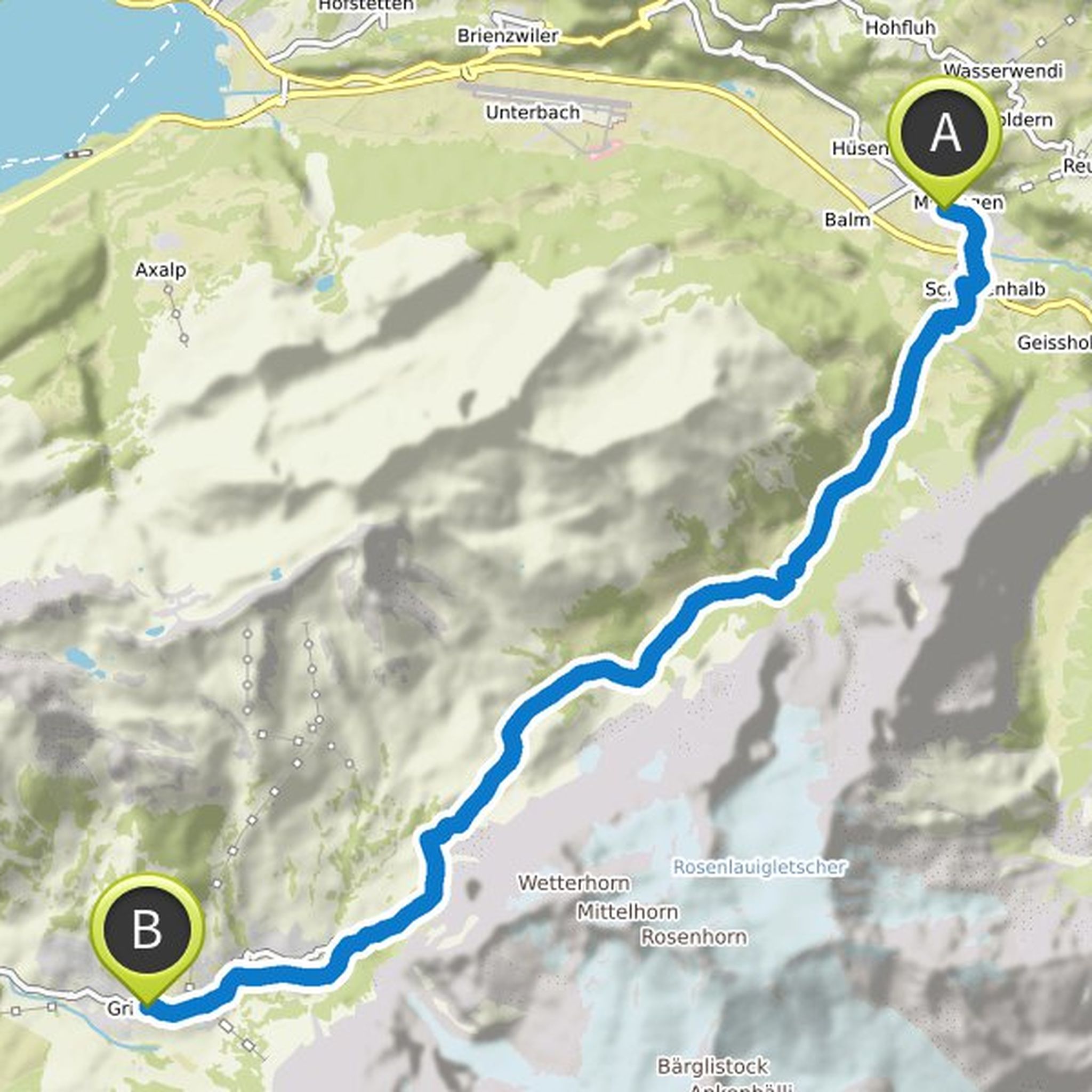
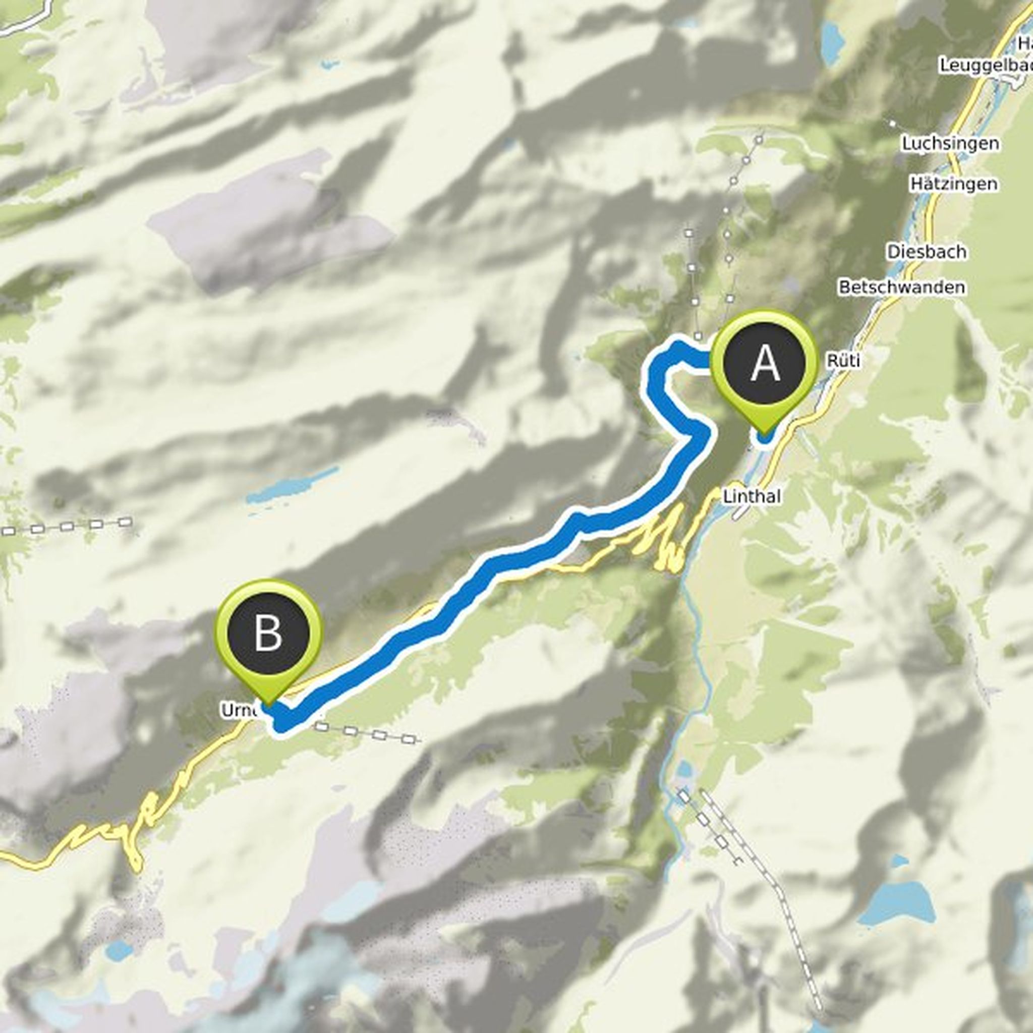
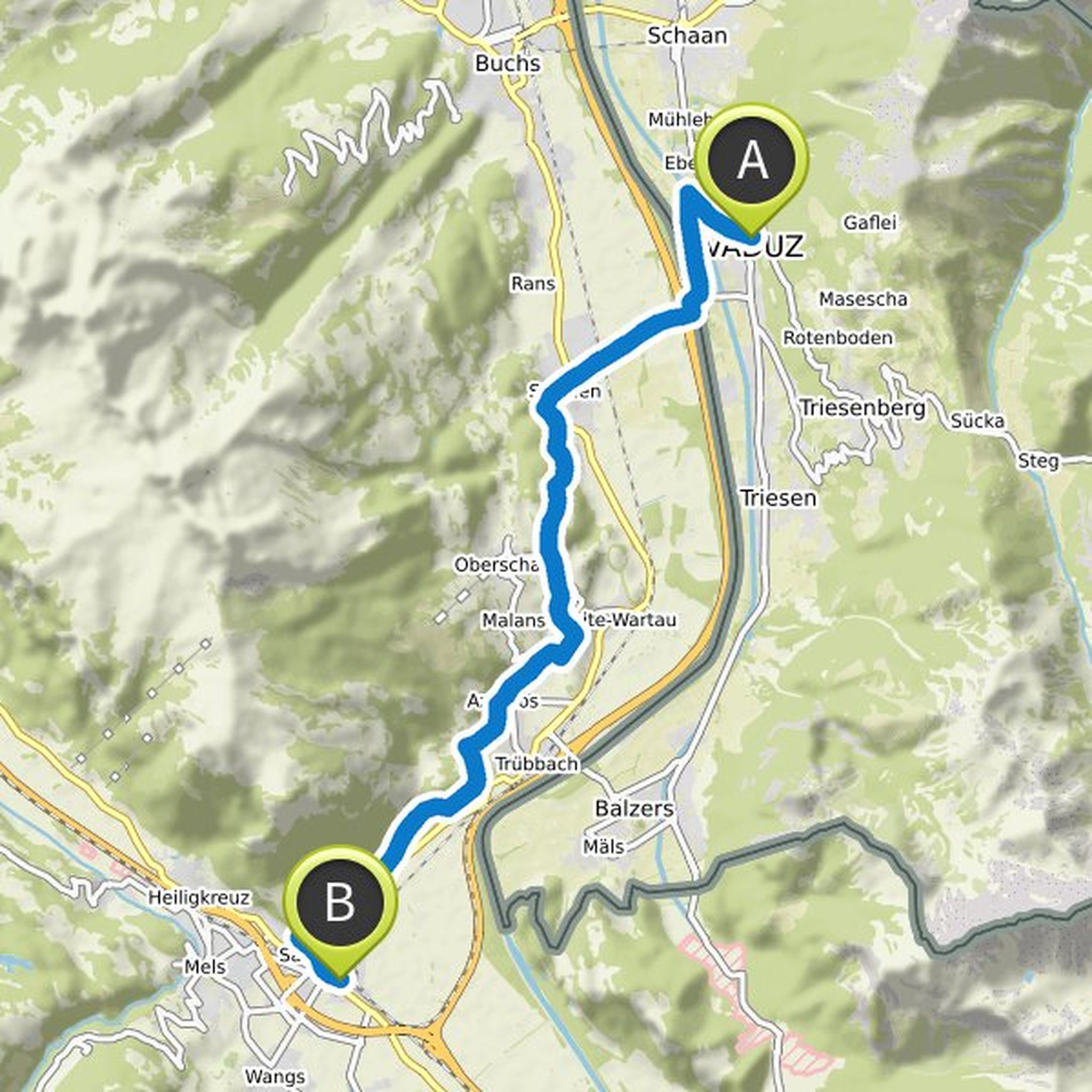
Via Alpina planned a hike
December 19, 2019
Time
Distance
Speed
Ascent
Descent
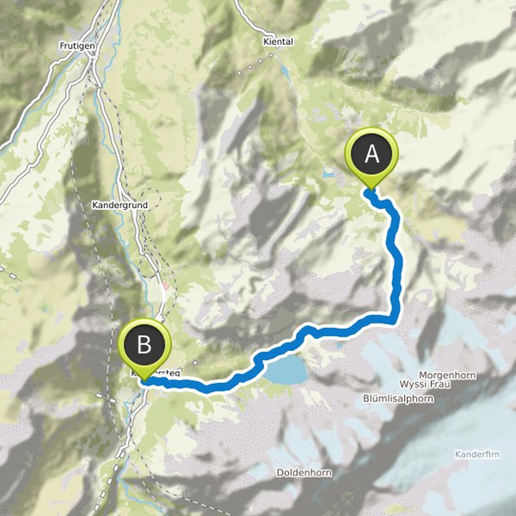
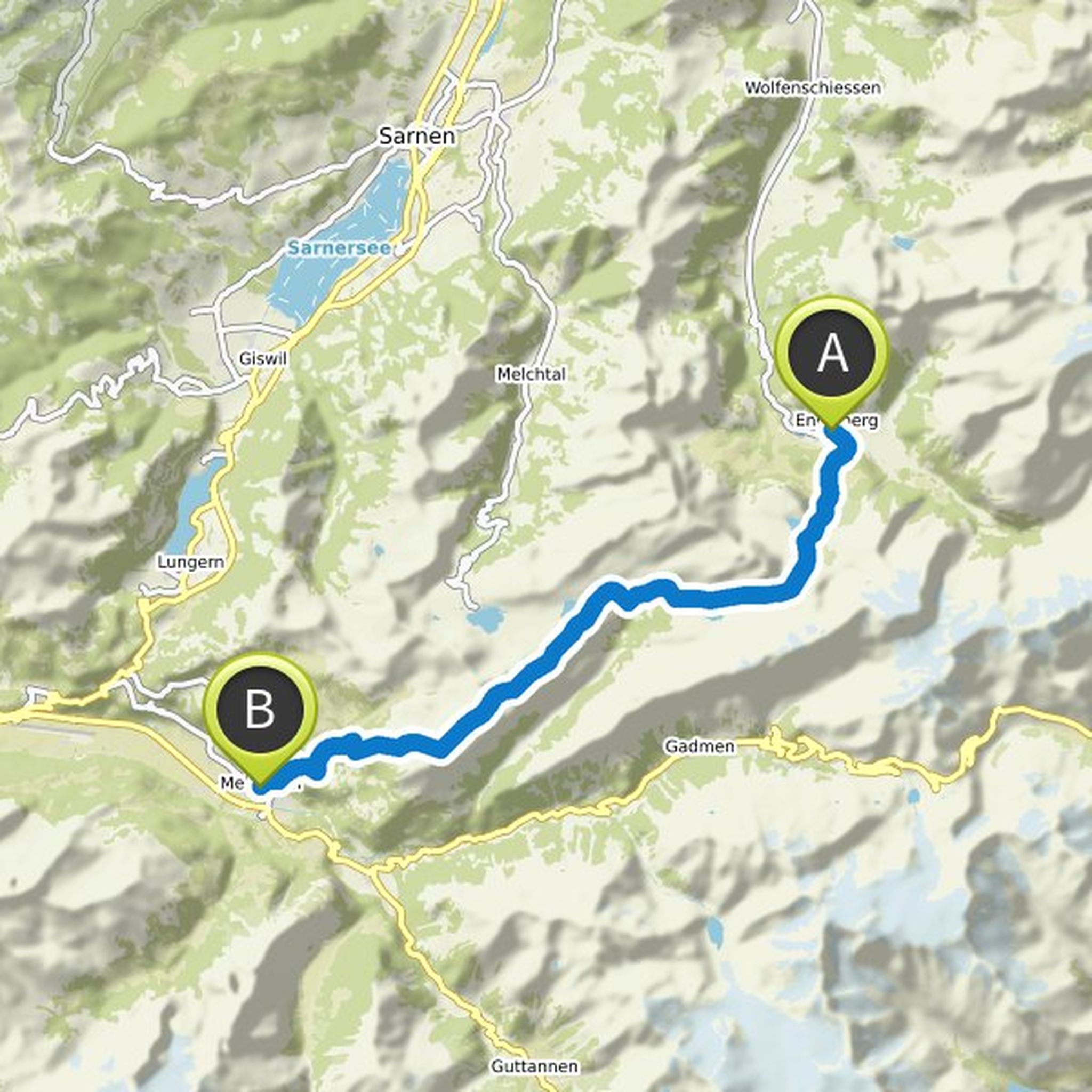
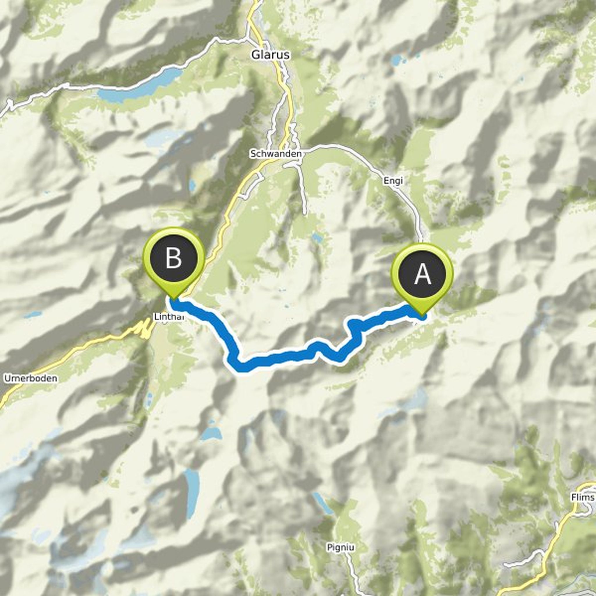
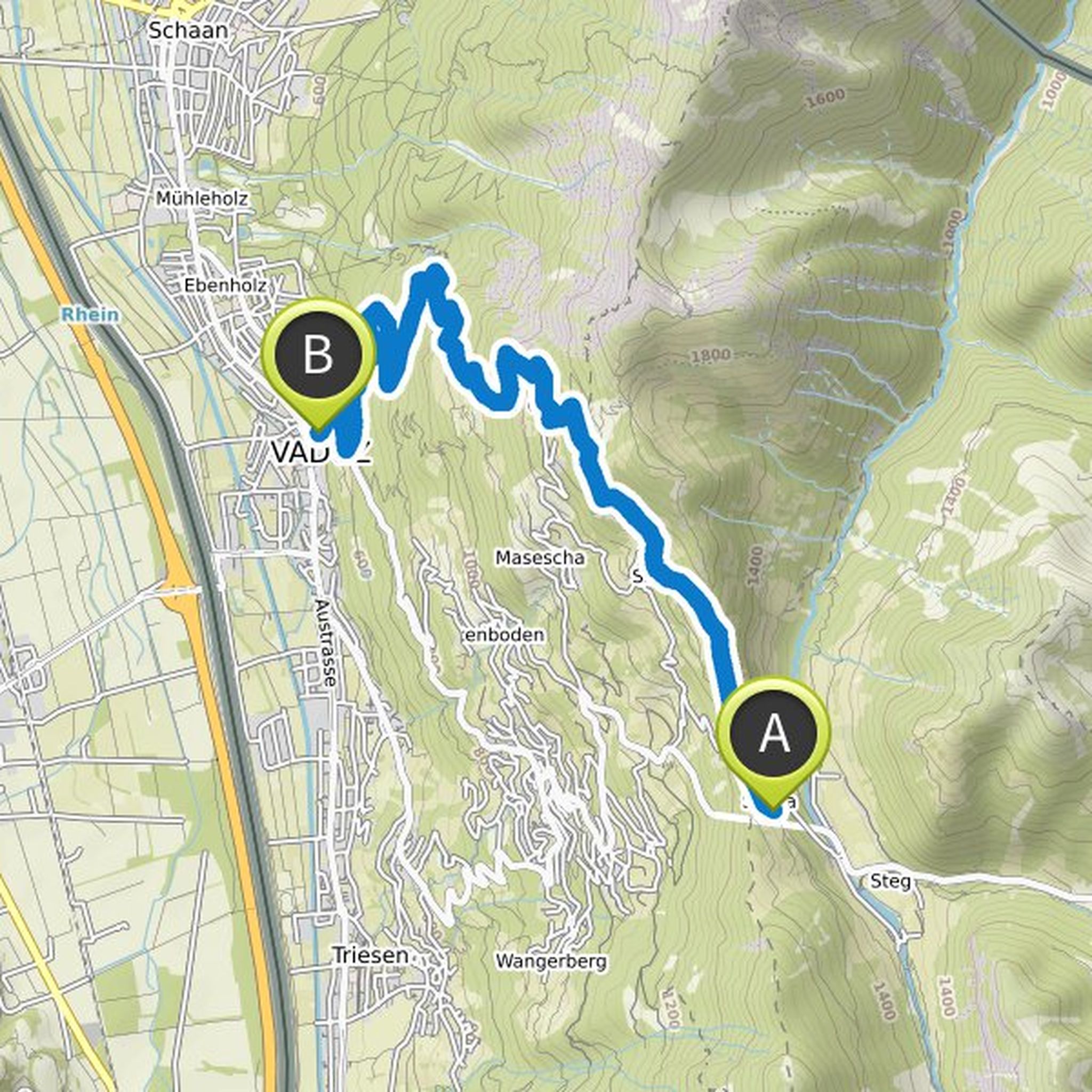
Via Alpina planned a hike
December 19, 2019
Time
Distance
Speed
Ascent
Descent
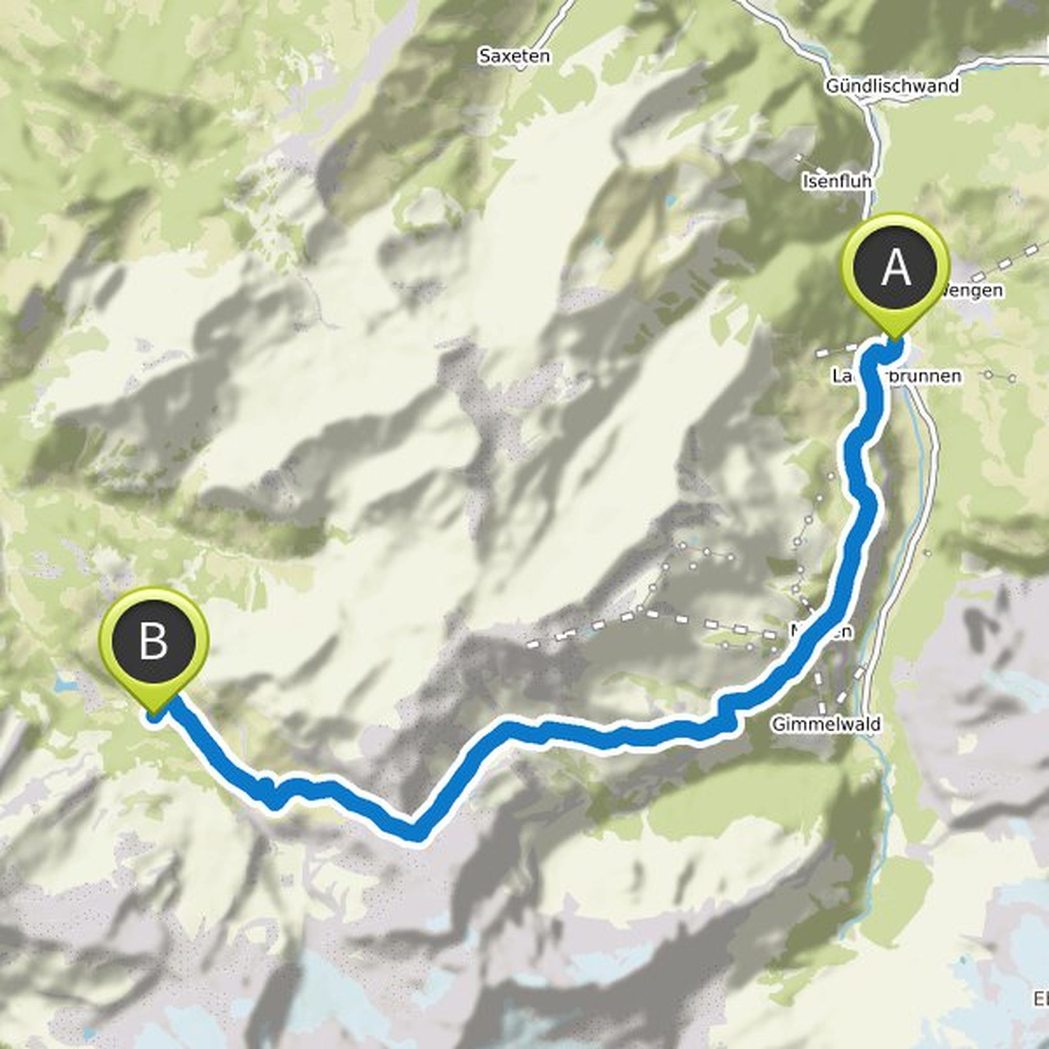
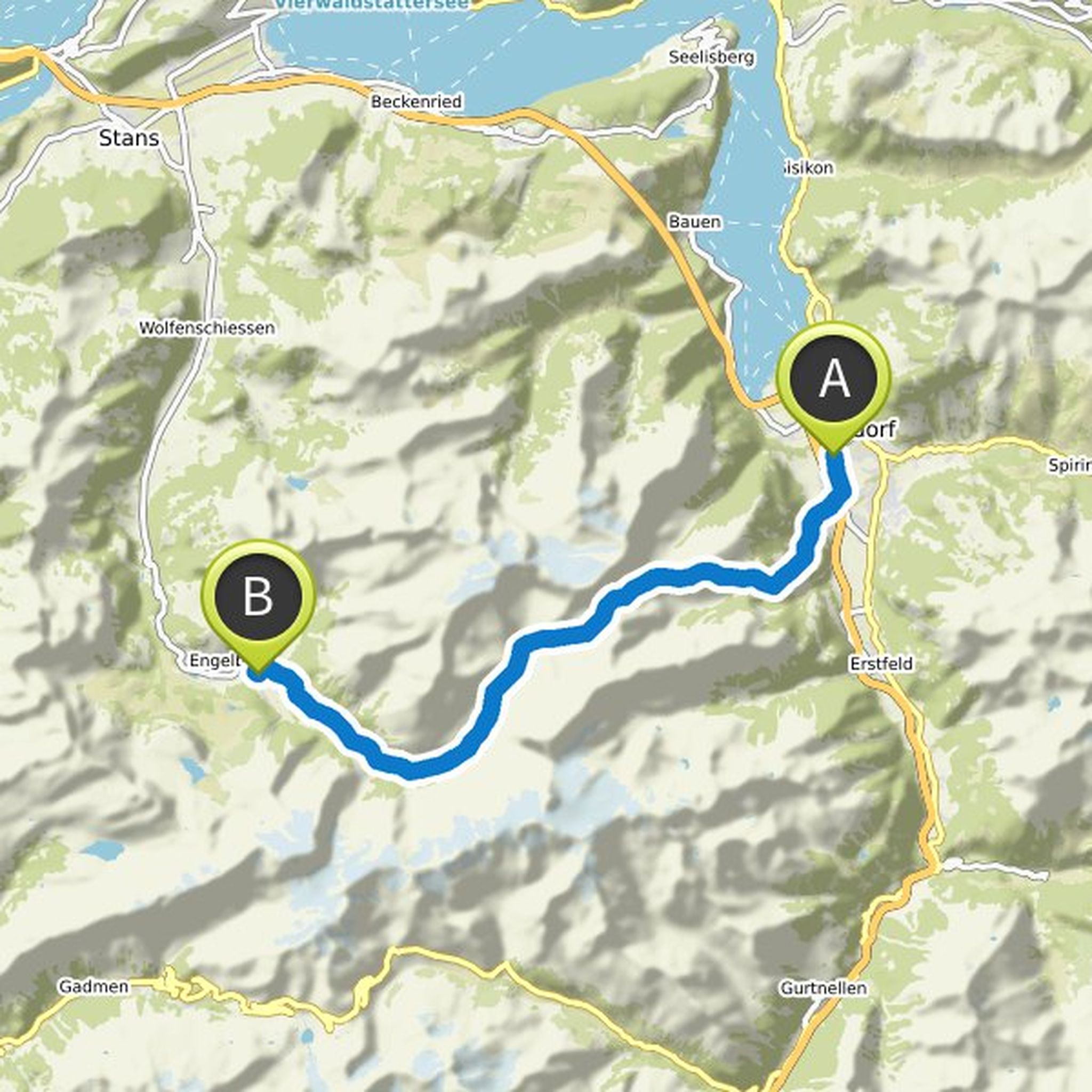
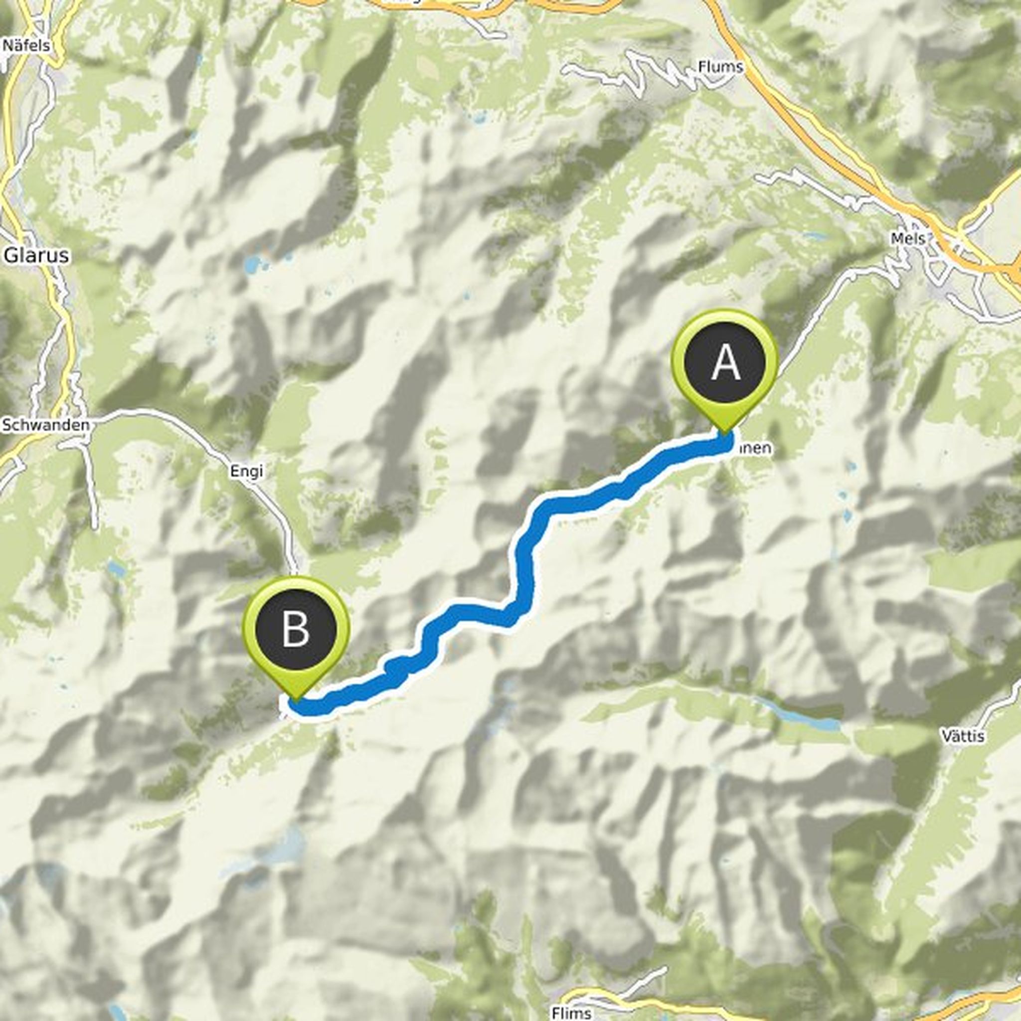
Via Alpina planned a hike
December 19, 2019
Time
Distance
Speed
Ascent
Descent
Via Alpina planned a hike
December 19, 2019
Time
Distance
Speed
Ascent
Descent
Via Alpina planned a hike
December 19, 2019
Time
Distance
Speed
Ascent
Descent
Via Alpina planned a hike
December 19, 2019
Time
Distance
Speed
Ascent
Descent
Via Alpina planned a hike
December 19, 2019
Time
Distance
Speed
Ascent
Descent
Via Alpina planned a hike
December 19, 2019
Time
Distance
Speed
Ascent
Descent
Via Alpina planned a hike
December 19, 2019
Time
Distance
Speed
Ascent
Descent
Via Alpina planned a hike
December 19, 2019
Time
Distance
Speed
Ascent
Descent
Via Alpina planned a hike
December 19, 2019
Time
Distance
Speed
Ascent
Descent
Via Alpina planned a hike
December 19, 2019
Time
Distance
Speed
Ascent
Descent
Via Alpina planned a hike
December 19, 2019
Time
Distance
Speed
Ascent
Descent
Via Alpina planned a hike
December 19, 2019
Time
Distance
Speed
Ascent
Descent
franzi, Peter Eisenschmidt and Roger Eggenberger 🐾👣 like this.