Timeline
Tiso planned a gravel ride
August 11, 2022
Time
Distance
Speed
Ascent
Descent
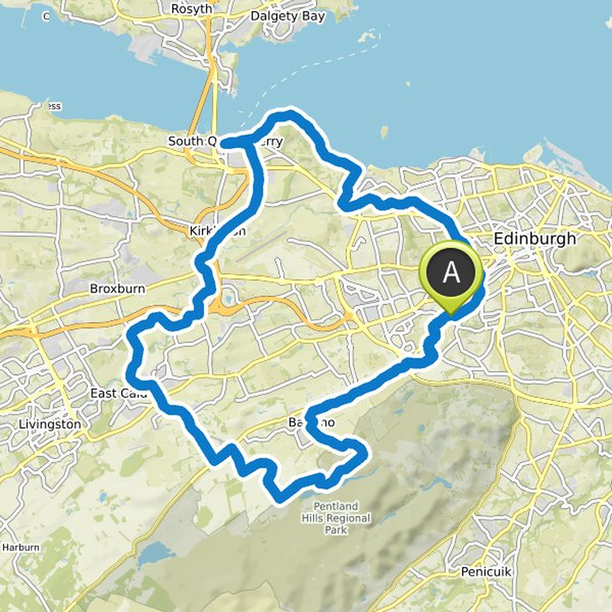
Tiso planned a road ride
August 1, 2022
Time
Distance
Speed
Ascent
Descent
August 1, 2022
The Rapha Women's 100 (Perth) is a self-led 100km road ride bringing women together.
The ride starts and finishes at Tiso Outdoor Experience in Perth on Sunday 18th September 2022.
Cake and coffee will be served from the shop where you can hang out, meet likeminded riders and shop the new Rapha Women
Tiso and Doubletrackfanatic planned a gravel ride
June 1, 2022
Time
Distance
Speed
Ascent
Descent
Tiso and Iona Adventuring planned a hike
February 8, 2022
Time
Distance
Speed
Ascent
Descent

Tiso and Iona Adventuring planned a hike
February 8, 2022
Time
Distance
Speed
Ascent
Descent

Tiso and Iona Adventuring planned a hike
February 8, 2022
Time
Distance
Speed
Ascent
Descent

Tiso and Iona Adventuring planned a hike
February 8, 2022
Time
Distance
Speed
Ascent
Descent

John likes this.
Tiso and Iona Adventuring planned a hike
February 8, 2022
Time
Distance
Speed
Ascent
Descent
Tiso planned a gravel ride
February 8, 2022
Time
Distance
Speed
Ascent
Descent

Tiso planned a gravel ride
February 8, 2022
Time
Distance
Speed
Ascent
Descent

Tiso planned a gravel ride
February 8, 2022
Time
Distance
Speed
Ascent
Descent

Tiso planned a gravel ride
February 8, 2022
Time
Distance
Speed
Ascent
Descent
Tiso planned a gravel ride
February 4, 2022
Time
Distance
Speed
Ascent
Descent

Helen Langridge and Tiso planned a road ride
November 19, 2021
Time
Distance
Speed
Ascent
Descent

Eleanor Jaskowska likes this.
August 1, 2022
The Rapha Women's 100 (Edinburgh) is a self-led 100km road ride bringing women together.
The ride starts and finishes at Alpine Bikes, Marchmont on Sunday 18th September 2022.
Cake and coffee will be served from the shop where you can hang out, meet likeminded riders and shop the new Rapha Women's 100