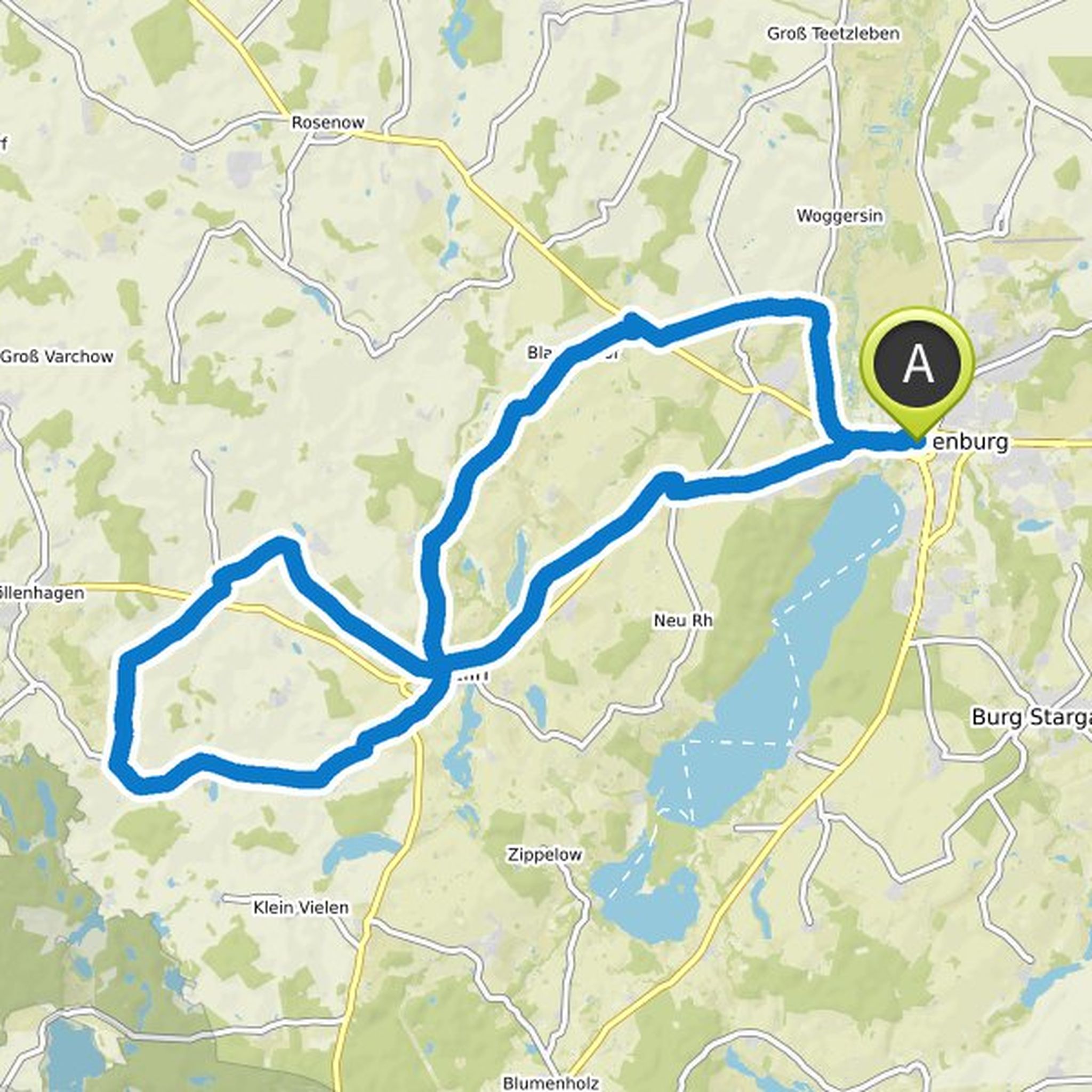
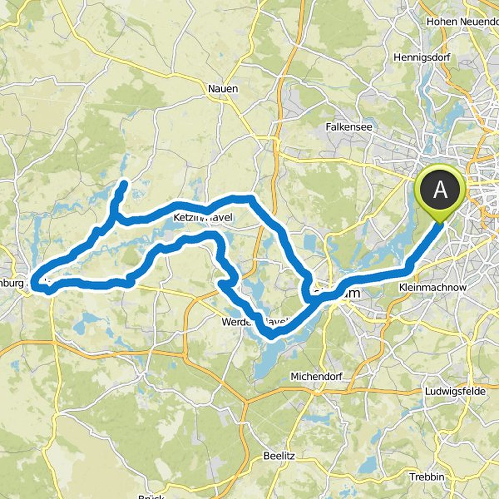
Timeline
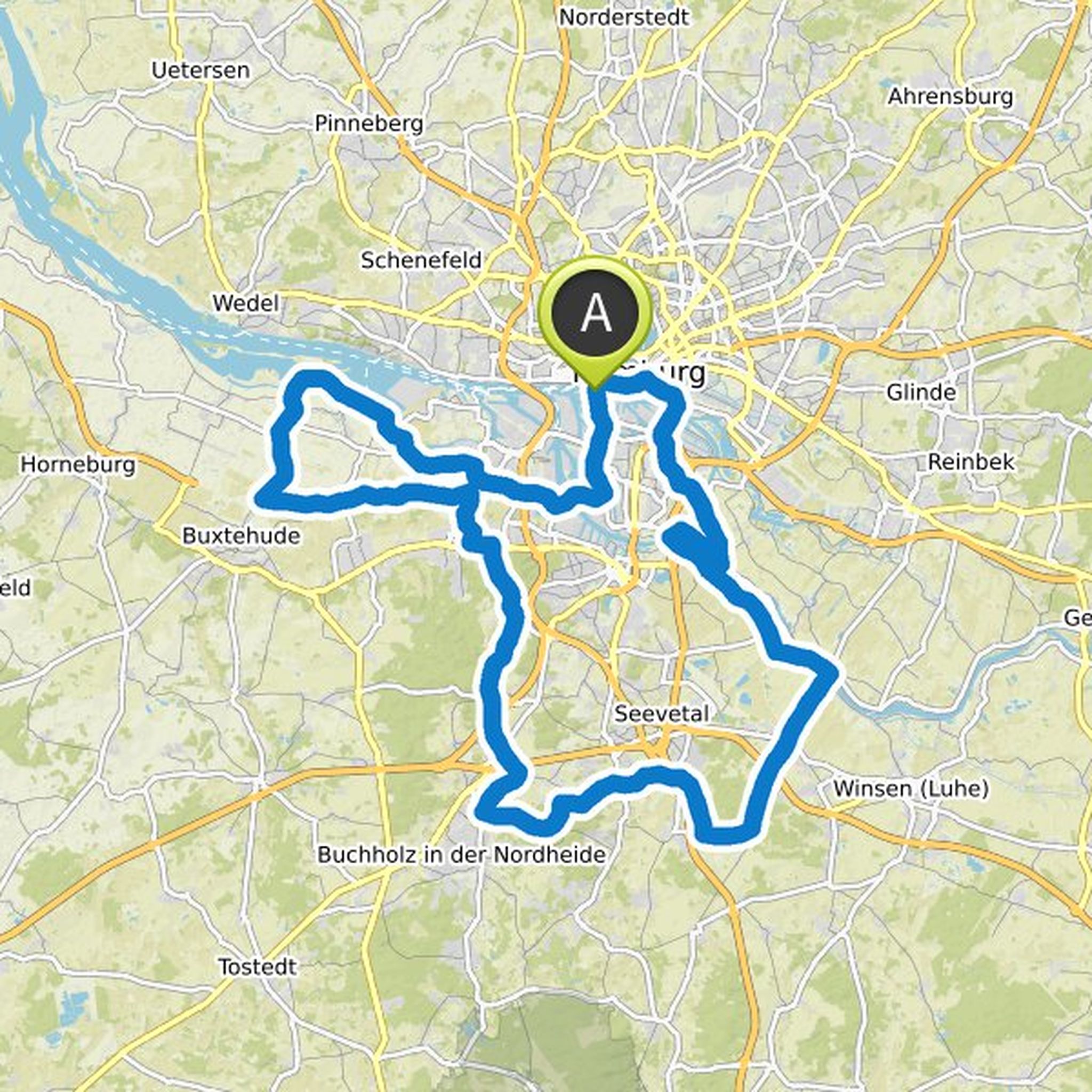
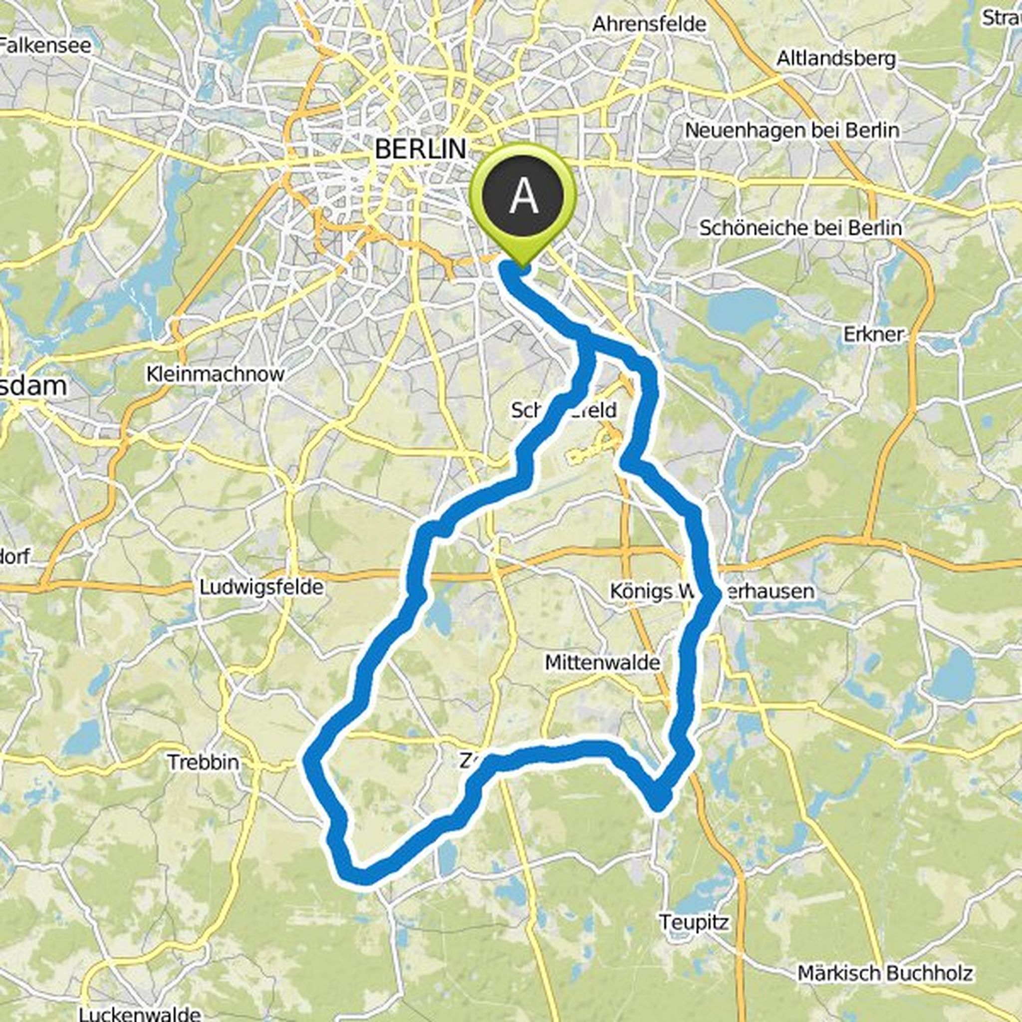
Fabian Kilian and others planned a road ride
March 19, 2025
Time
Distance
Speed
Ascent
Descent
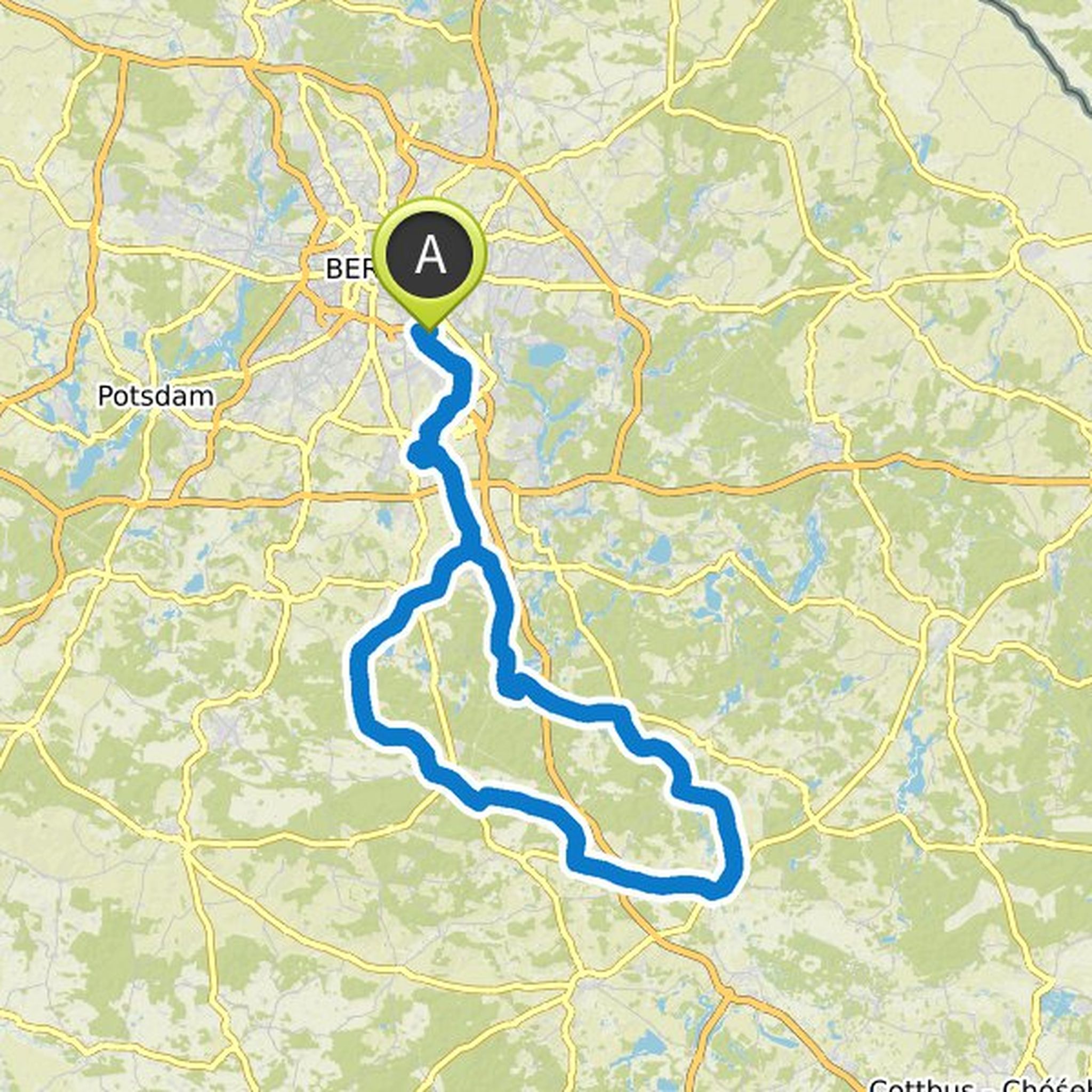
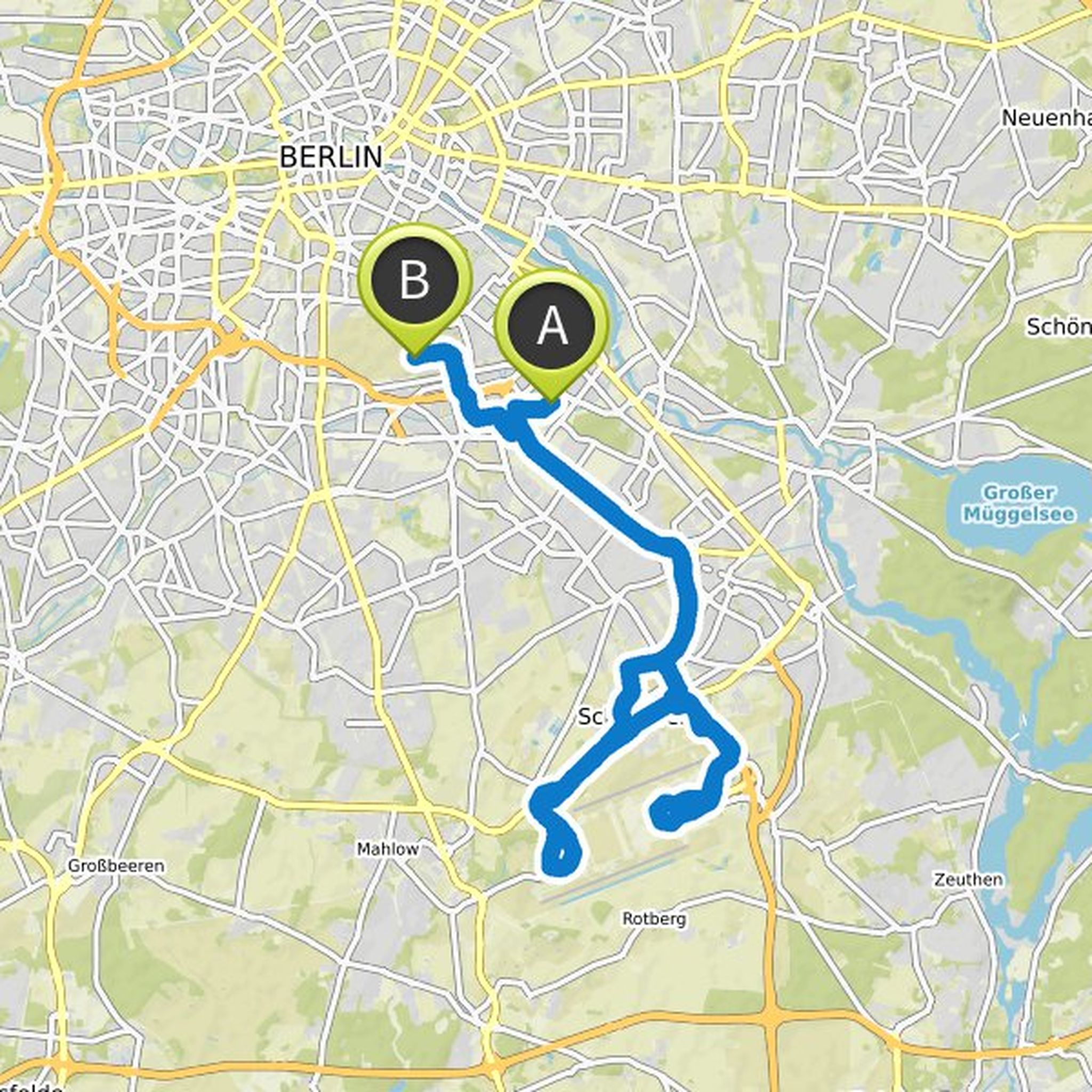
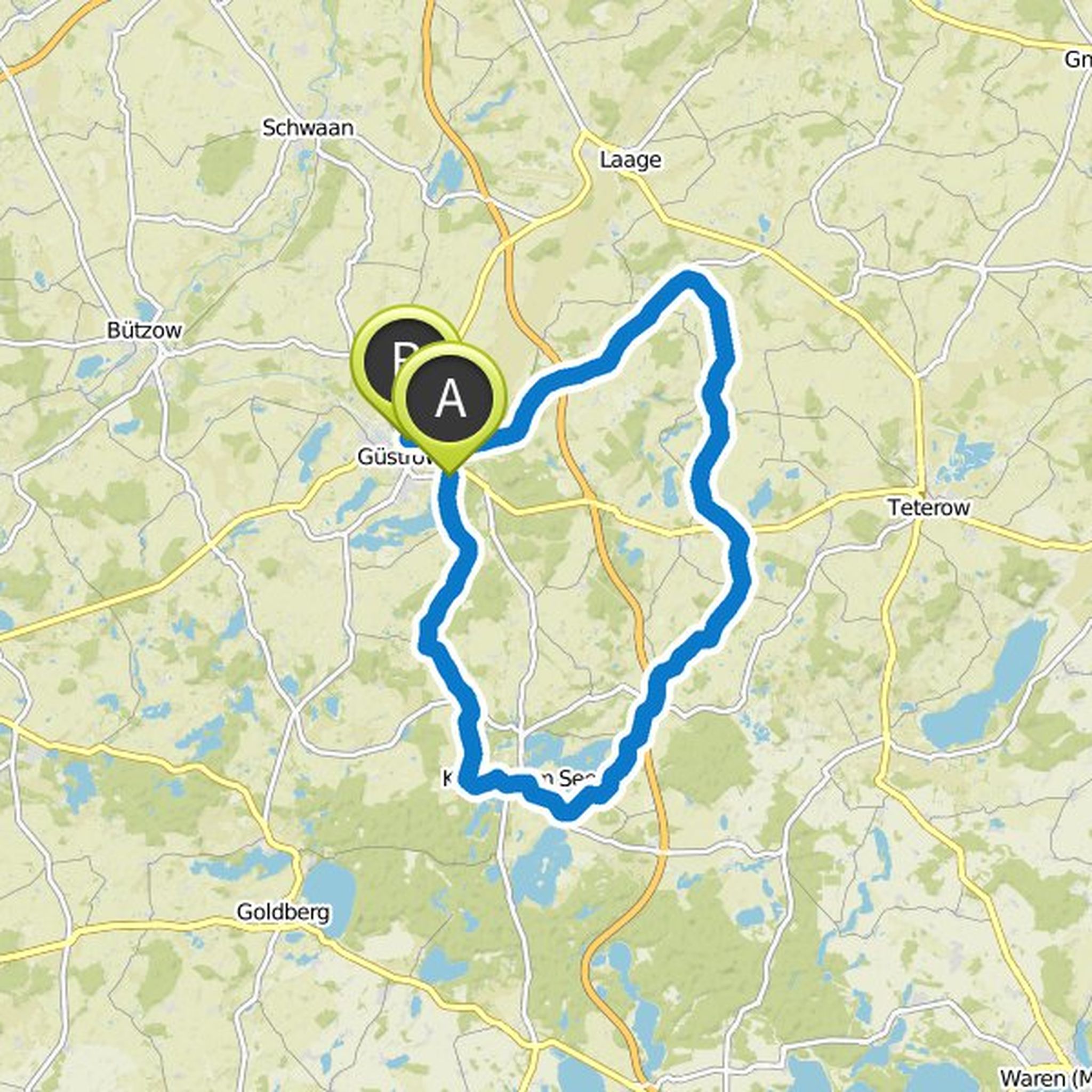
Cindy and others planned a road ride
October 29, 2019
Time
Distance
Speed
Ascent
Descent
STRECKENTEAM MSR and Carsten like this.
Time
Distance
Speed
Ascent
Descent

STRECKENTEAM MSR likes this.
Time
Distance
Speed
Ascent
Descent
STRECKENTEAM MSR likes this.
Time
Distance
Speed
Ascent
Descent
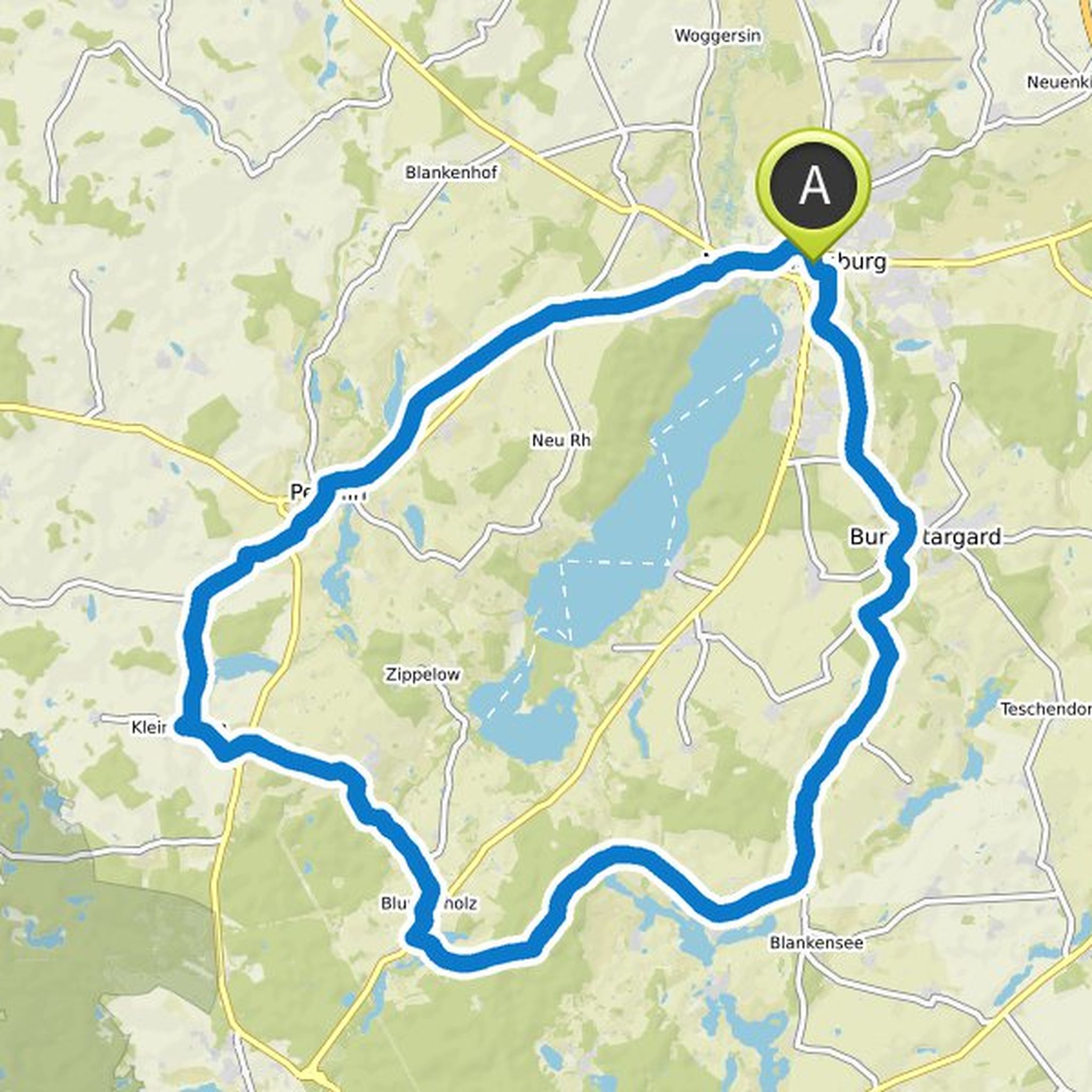
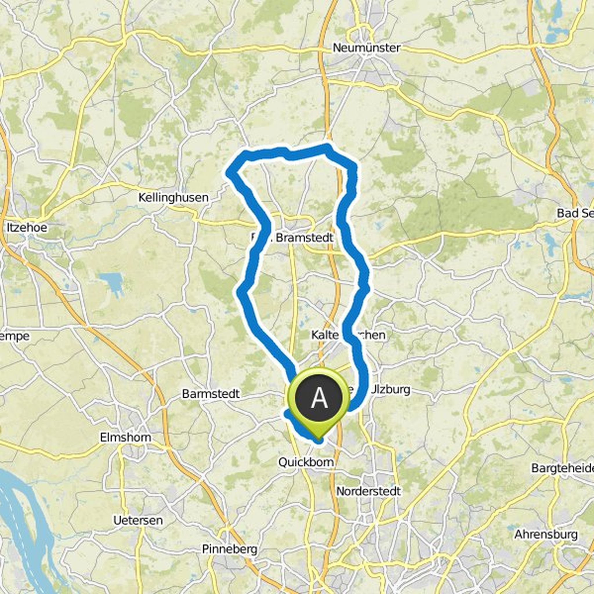
Donna Wandt and Cyclique planned a road ride
April 23, 2019
Time
Distance
Speed
Ascent
Descent
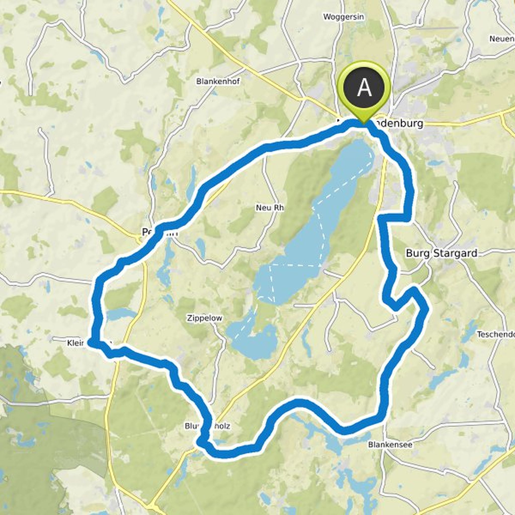
Donna Wandt and Cyclique planned a road ride
April 23, 2019
Time
Distance
Speed
Ascent
Descent
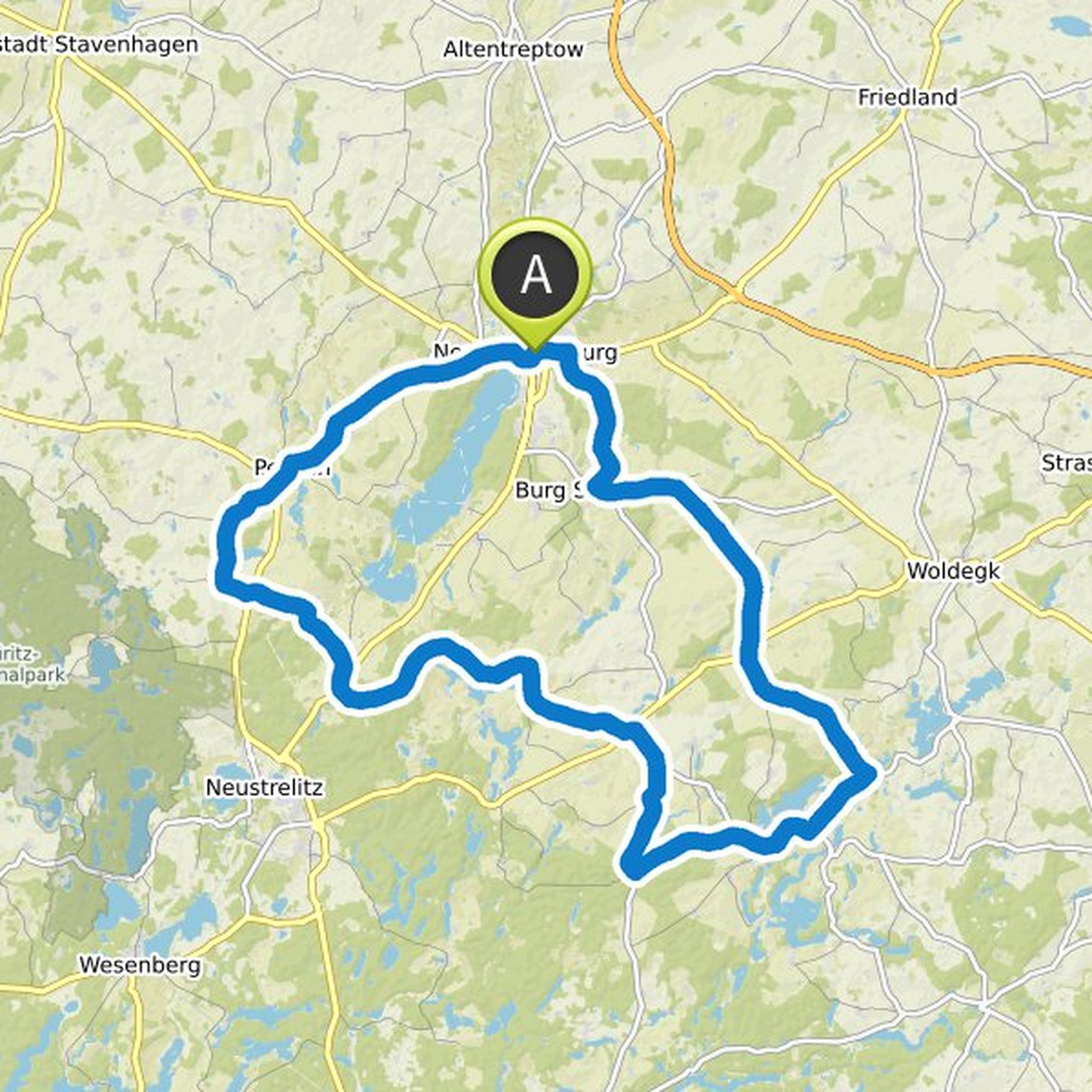
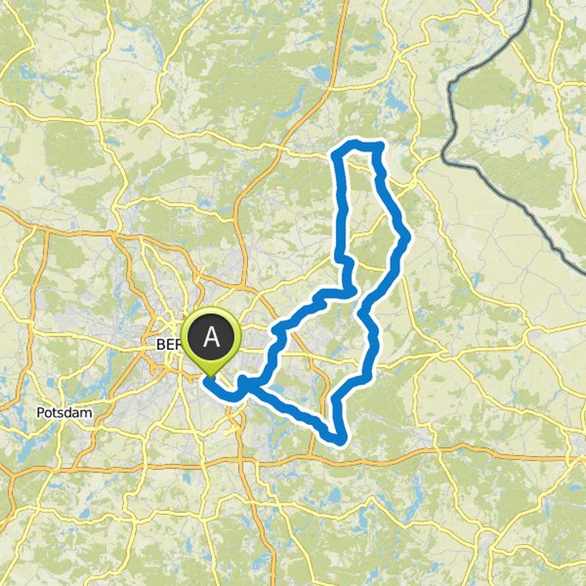
Re Bekka Ga and others planned a road ride
April 19, 2019
Time
Distance
Speed
Ascent
Descent
Manu and Lunch Armstrong like this.
Time
Distance
Speed
Ascent
Descent
Time
Distance
Speed
Ascent
Descent
Time
Distance
Speed
Ascent
Descent
Time
Distance
Speed
Ascent
Descent
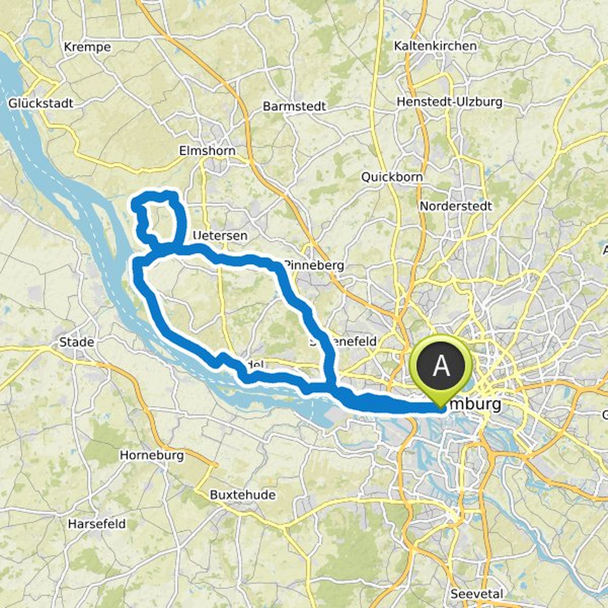
Chris Nilloc and Cyclique planned a road ride
April 7, 2019
Time
Distance
Speed
Ascent
Descent
Chris Nilloc, 🚲Dietrich🚲 (spechtX) and Bea 🌬️🏵️ like this.
Time
Distance
Speed
Ascent
Descent
Time
Distance
Speed
Ascent
Descent
Bea 🌬️🏵️ likes this.
April 25, 2019
Sunday, 28.04. 9:30 - approx. 12:00 pm / Route: approx. 60 km, for all levels of performance / Meeting point: Chris Gueffroy Allee, entrance wall cycle path
Translated by Google •