Timeline
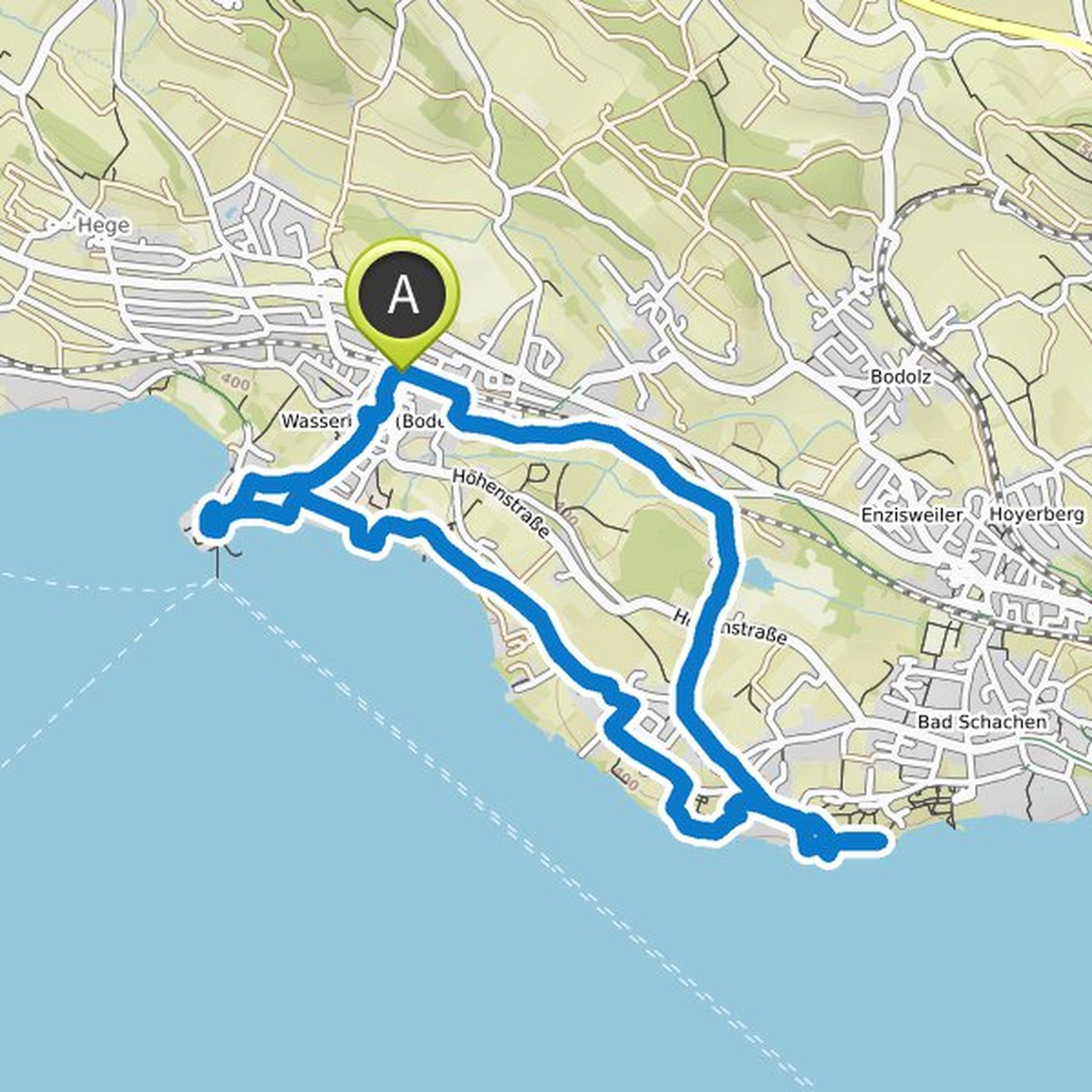
Conny planned a hike
May 29, 2022
Time
Distance
Speed
Ascent
Descent
Conny planned a hike
April 18, 2022
Time
Distance
Speed
Ascent
Descent
Conny planned a hike
April 6, 2022
Time
Distance
Speed
Ascent
Descent
Conny planned a hike
April 6, 2022
Time
Distance
Speed
Ascent
Descent
Conny planned a hike
February 12, 2022
Time
Distance
Speed
Ascent
Descent

Conny planned a hike
February 12, 2022
Time
Distance
Speed
Ascent
Descent
Conny planned a hike
February 12, 2022
Time
Distance
Speed
Ascent
Descent

Conny planned a hike
February 12, 2022
Time
Distance
Speed
Ascent
Descent

Conny planned a hike
February 12, 2022
Time
Distance
Speed
Ascent
Descent

Conny planned a hike
February 12, 2022
Time
Distance
Speed
Ascent
Descent

Conny planned a hike
February 12, 2022
Time
Distance
Speed
Ascent
Descent

Conny planned a hike
February 12, 2022
Time
Distance
Speed
Ascent
Descent

Conny planned a hike
February 12, 2022
Time
Distance
Speed
Ascent
Descent

Conny planned a hike
February 12, 2022
Time
Distance
Speed
Ascent
Descent

Conny planned a hike
January 15, 2022
Time
Distance
Speed
Ascent
Descent

March 5, 2023
My recommendation: Run the other way around 🤗
Translated by Google •