Timeline
Markus planned a mountain bike ride
December 24, 2021
Time
1h55m
Distance
22.2km
Speed
11.6km/h
Ascent
360m
Descent
360m
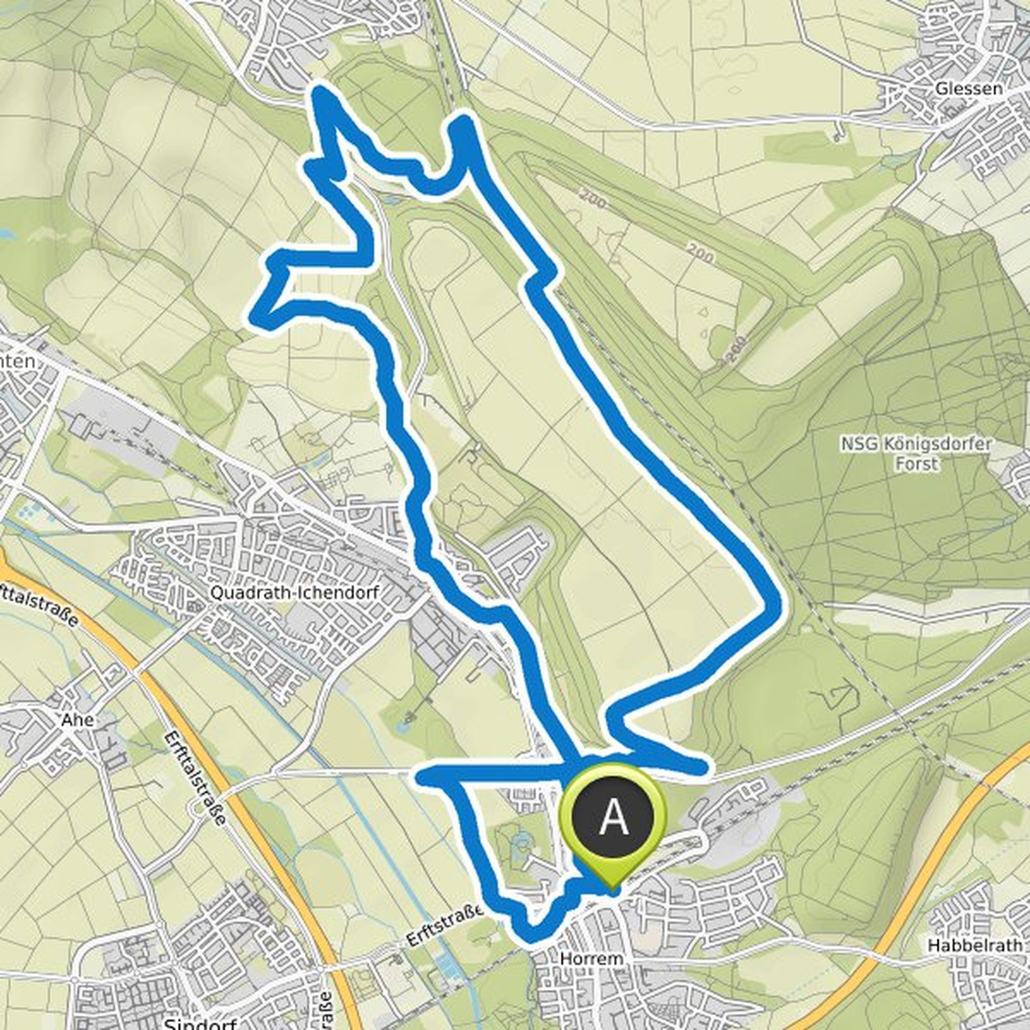
Map data © OpenStreetMap contributors
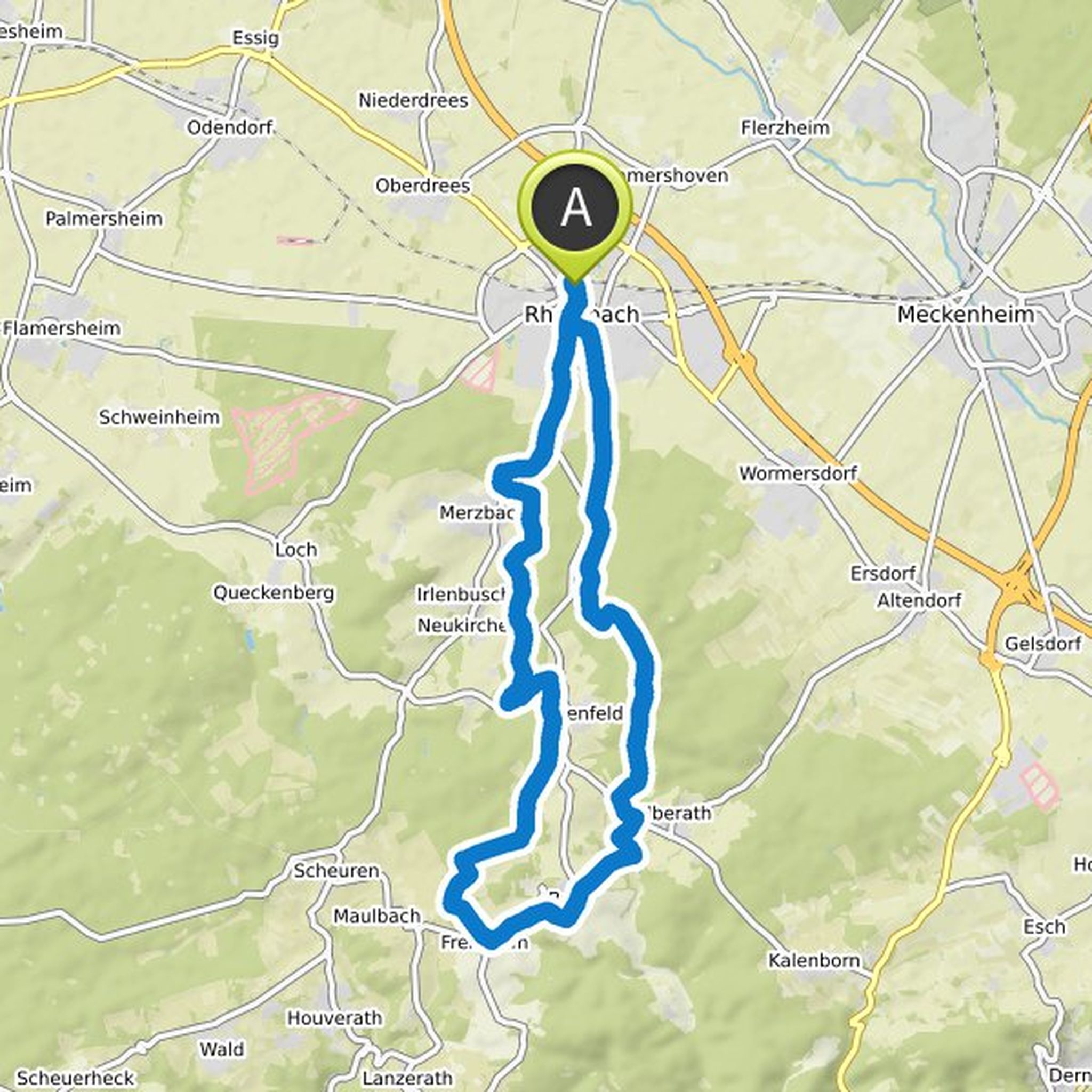
Markus and others planned an e-mountain bike ride
June 25, 2021
Time
1h40m
Distance
38.7km
Speed
23.3km/h
Ascent
570m
Descent
570m

Map data © OpenStreetMap contributors
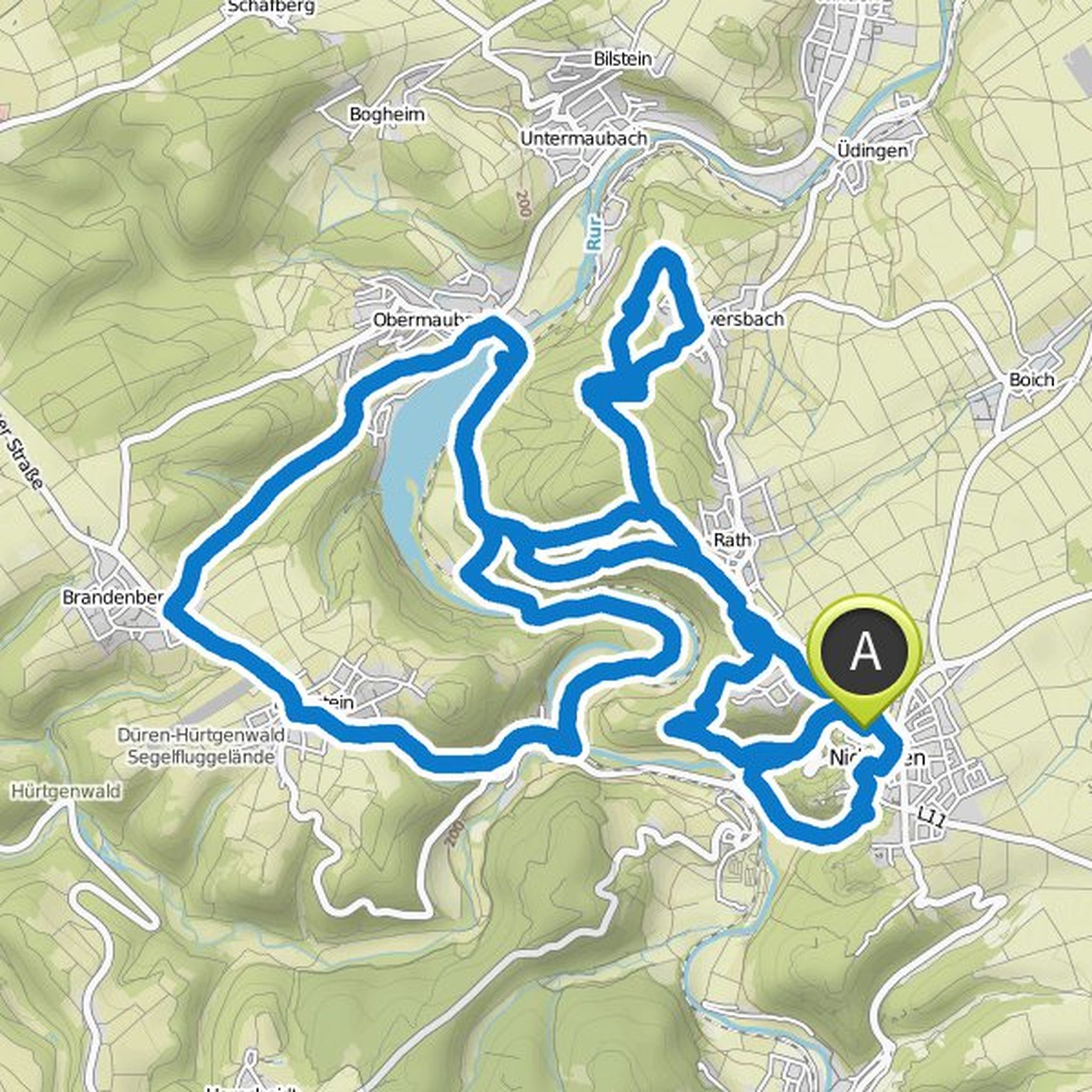
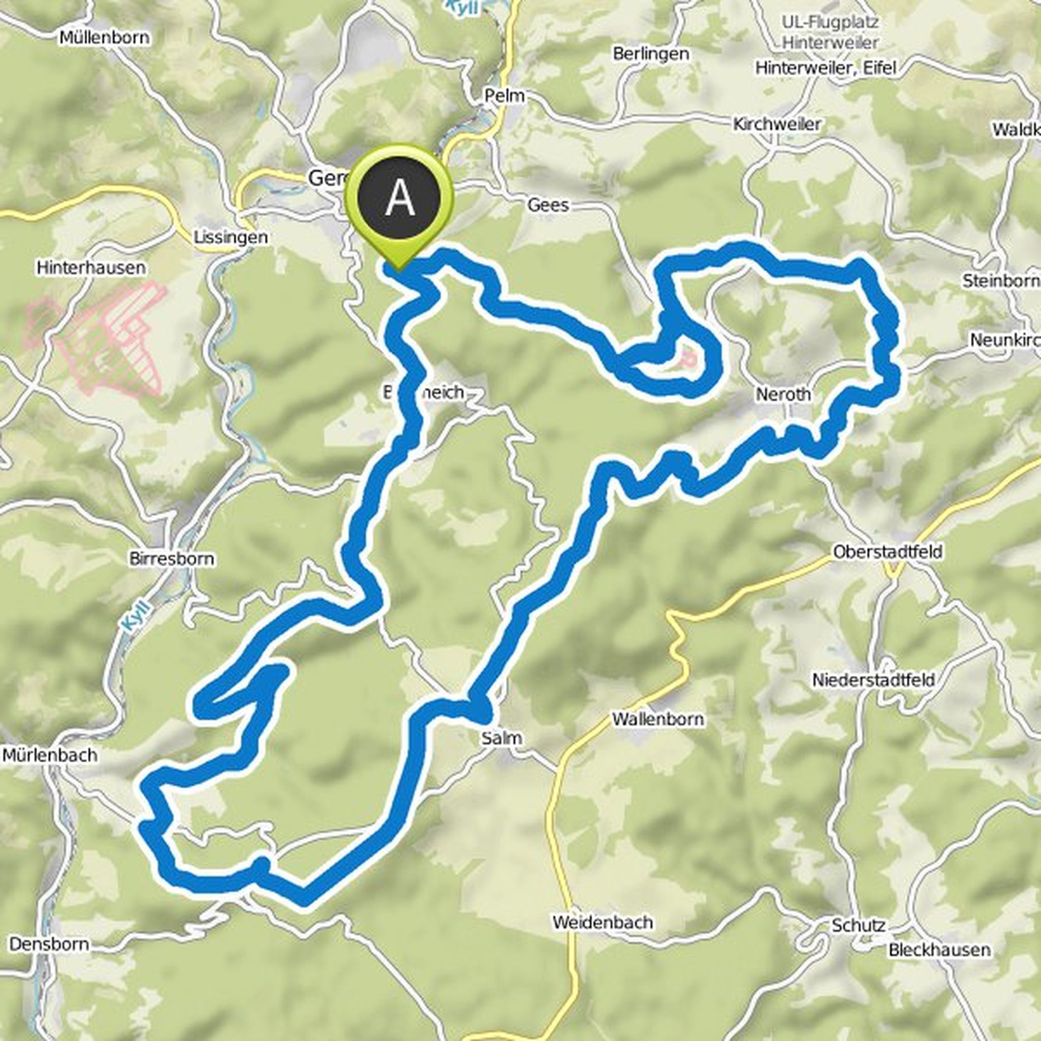
Markus planned a mountain bike ride
August 7, 2020
Time
2h15m
Distance
26.1km
Speed
11.6km/h
Ascent
370m
Descent
370m
Map data © OpenStreetMap contributors
Time
2h57m
Distance
28.9km
Speed
9.8km/h
Ascent
850m
Descent
850m
Map data © OpenStreetMap contributors
Markus planned a mountain bike ride
August 11, 2018
Time
3h37m
Distance
37.1km
Speed
10.3km/h
Ascent
840m
Descent
840m
Map data © OpenStreetMap contributors
Time
5h00m
Distance
50.9km
Speed
10.2km/h
Ascent
1,090m
Descent
1,100m
Map data © OpenStreetMap contributors
komoot and others planned a mountain bike ride
April 10, 2018
Time
5h14m
Distance
50.1km
Speed
9.6km/h
Ascent
1,310m
Descent
1,310m
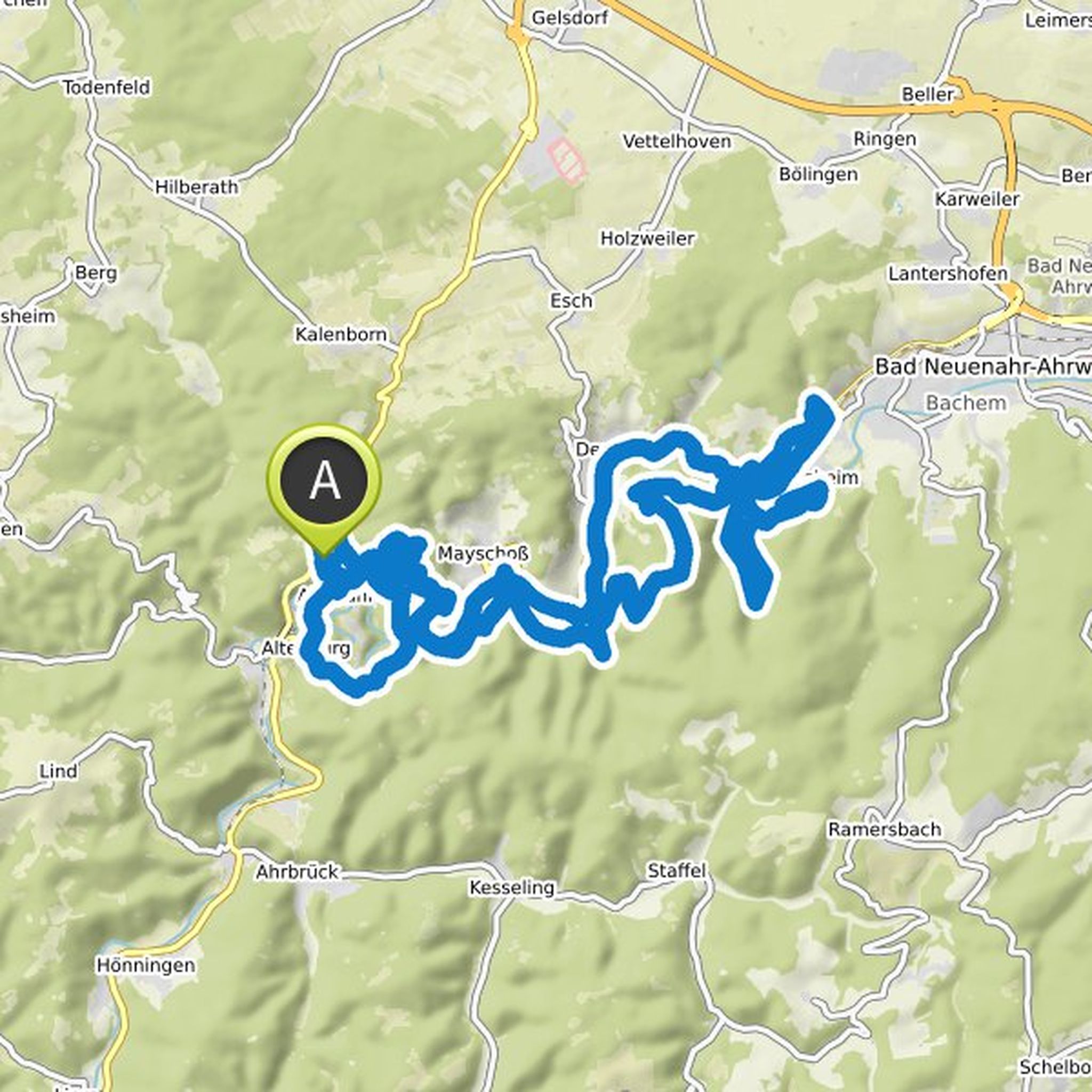
Map data © OpenStreetMap contributors
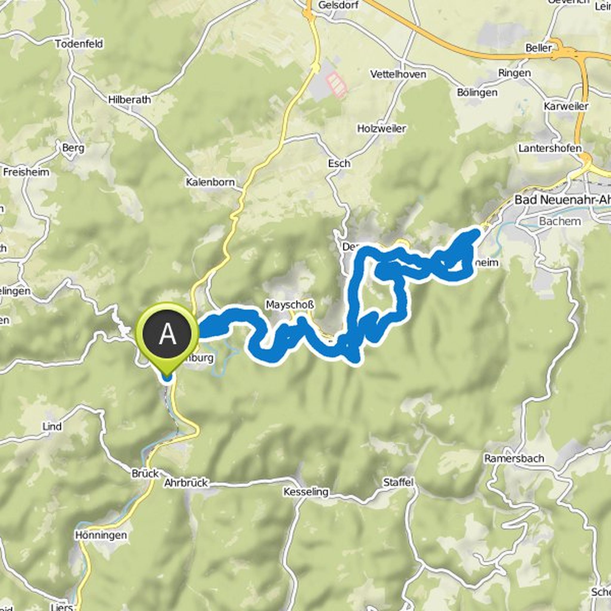
April 10, 2018
Of our three tour suggestions through the Ahr valley, this is the most demanding. It goes up or down permanently, you hardly go through the plane. At about 39 kilometers, just under 1000 meters of altitude come together. This meandering the route always along the Ahr, which always gives you a wonderful
Translated by Google •