We value your privacy ⛰️
We use cookies that are essential for the app and website to function correctly or are used to produce aggregated statistics. With your consent, we and our third-party partners will also use tracking technologies to improve the in-app and navigation experience, and to provide you with personalized services and content. To give your consent, tap Accept all cookies.
Alternatively, you can customize your privacy settings by tapping Customize Preferences, or by going to Cookie Preferences at any time. If you don’t want us to use non-technical tracking technologies, tap Refuse.
For more information about how we process your personal data through cookies, take a look at our Privacy Policy.


July 10, 2018
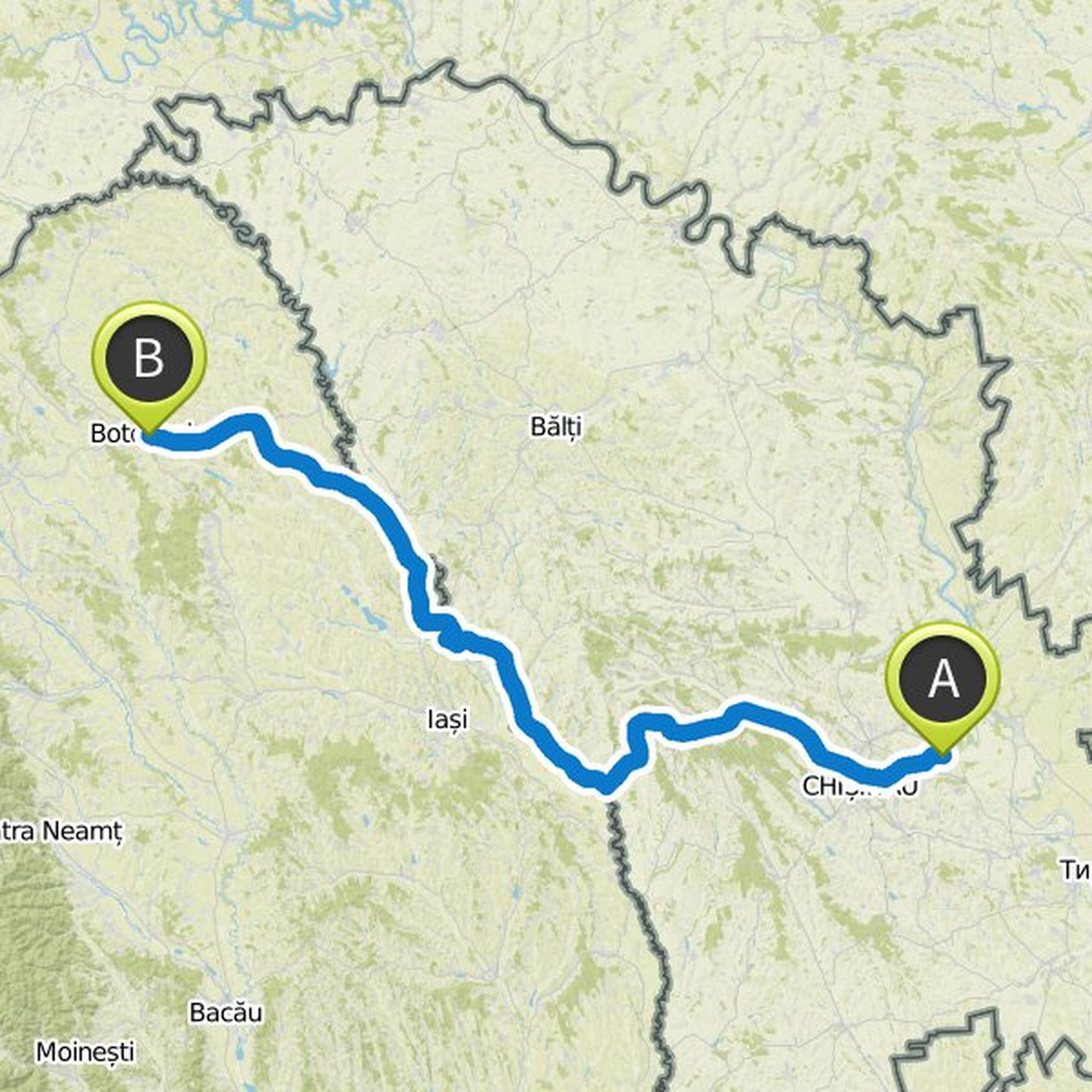
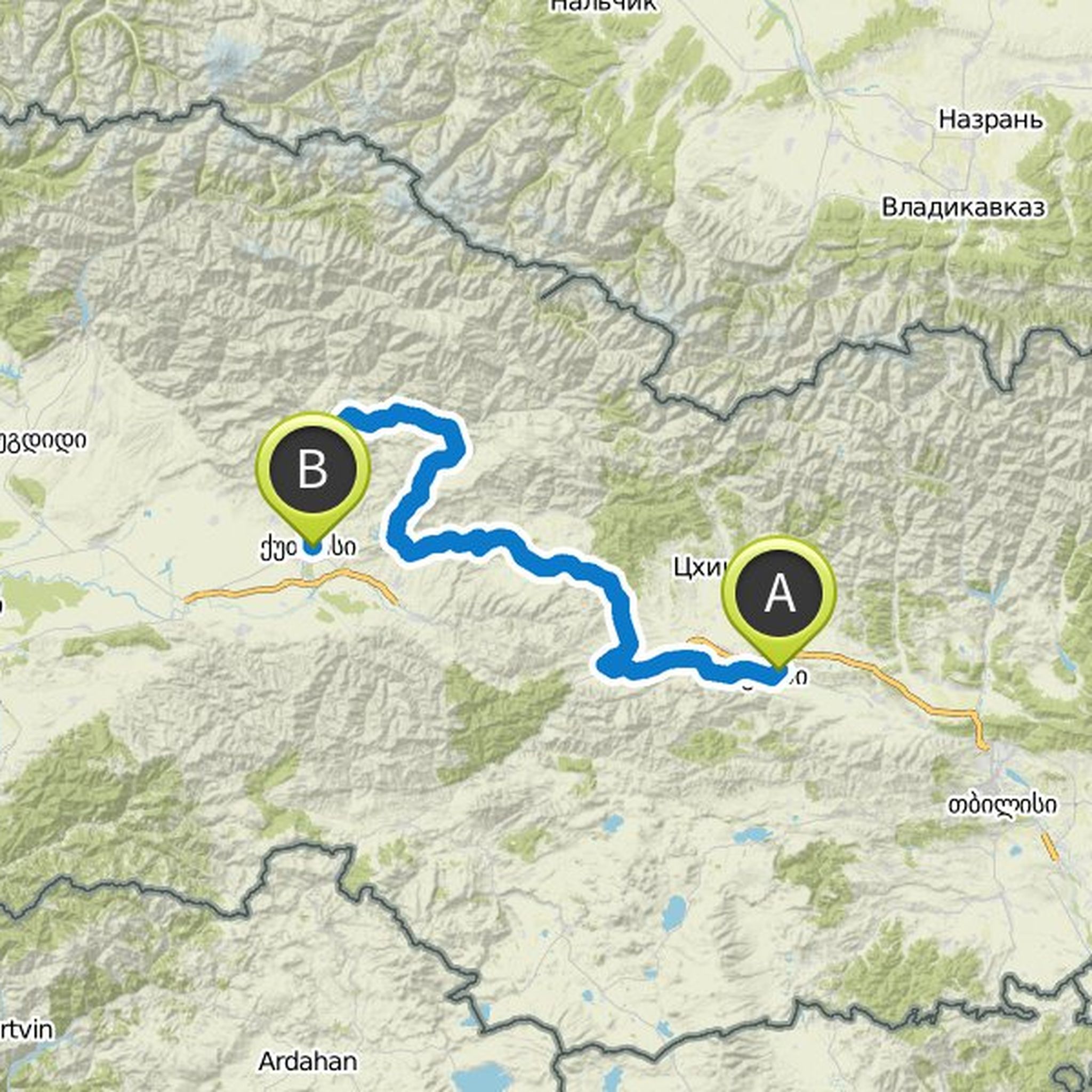
You must stay on the west side of the river until the transition at points 11-13. In this way you will avoid climbing and, above all, the bad motorway with a little space for bikers. Note that Dijkstra can not figure out which route to cross the bridge (hence the dotted line) but it's easy enough when you're there.
Translated by Google •