Timeline
Jonas planned a bike ride
May 21, 2019
Time
218h47m
Distance
2,694km
Speed
12.3km/h
Ascent
12,930m
Descent
12,940m
Map data © OpenStreetMap contributors
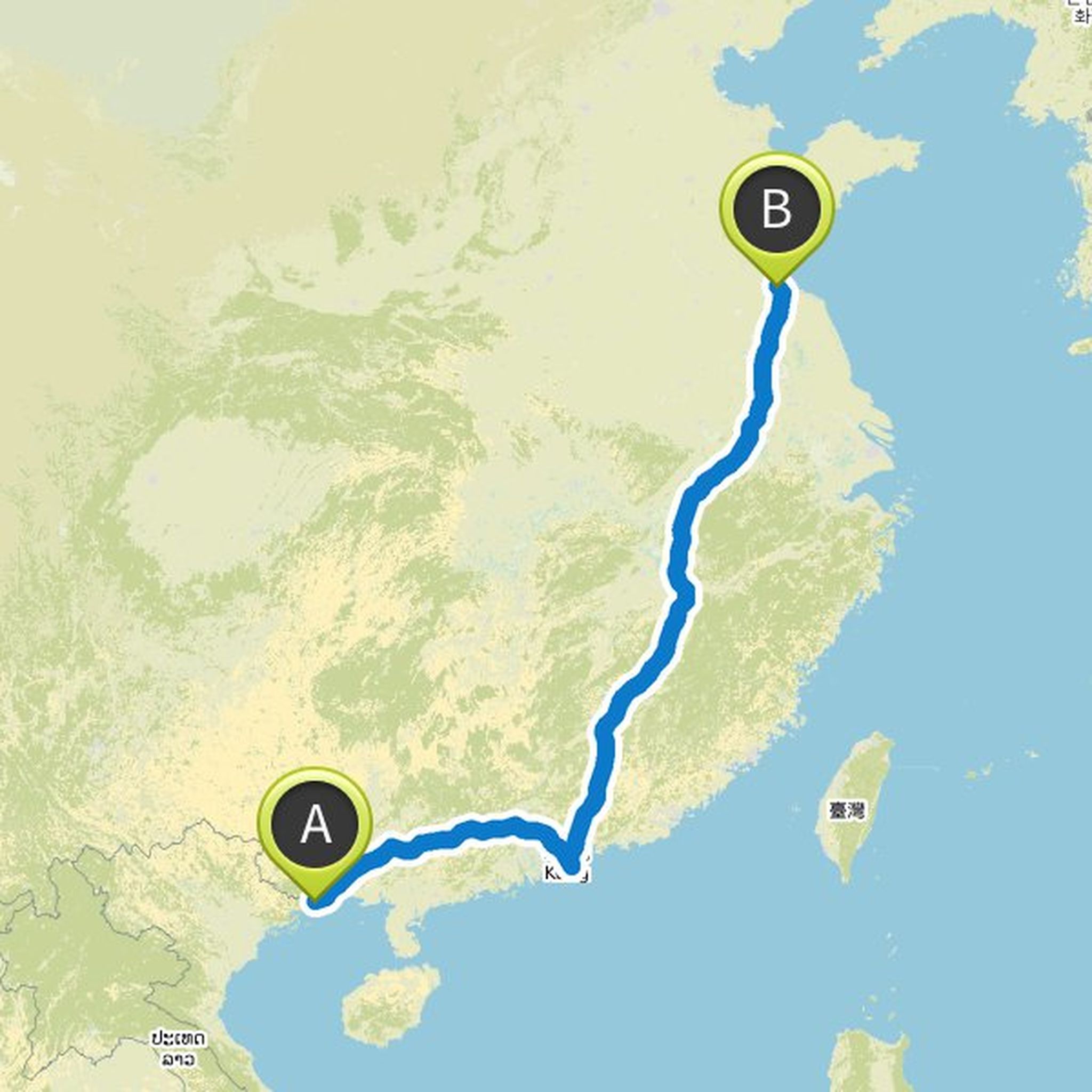
Jonas planned a bike ride
May 21, 2019
Time
544h12m
Distance
6,158km
Speed
11.3km/h
Ascent
62,000m
Descent
62,620m

Map data © OpenStreetMap contributors
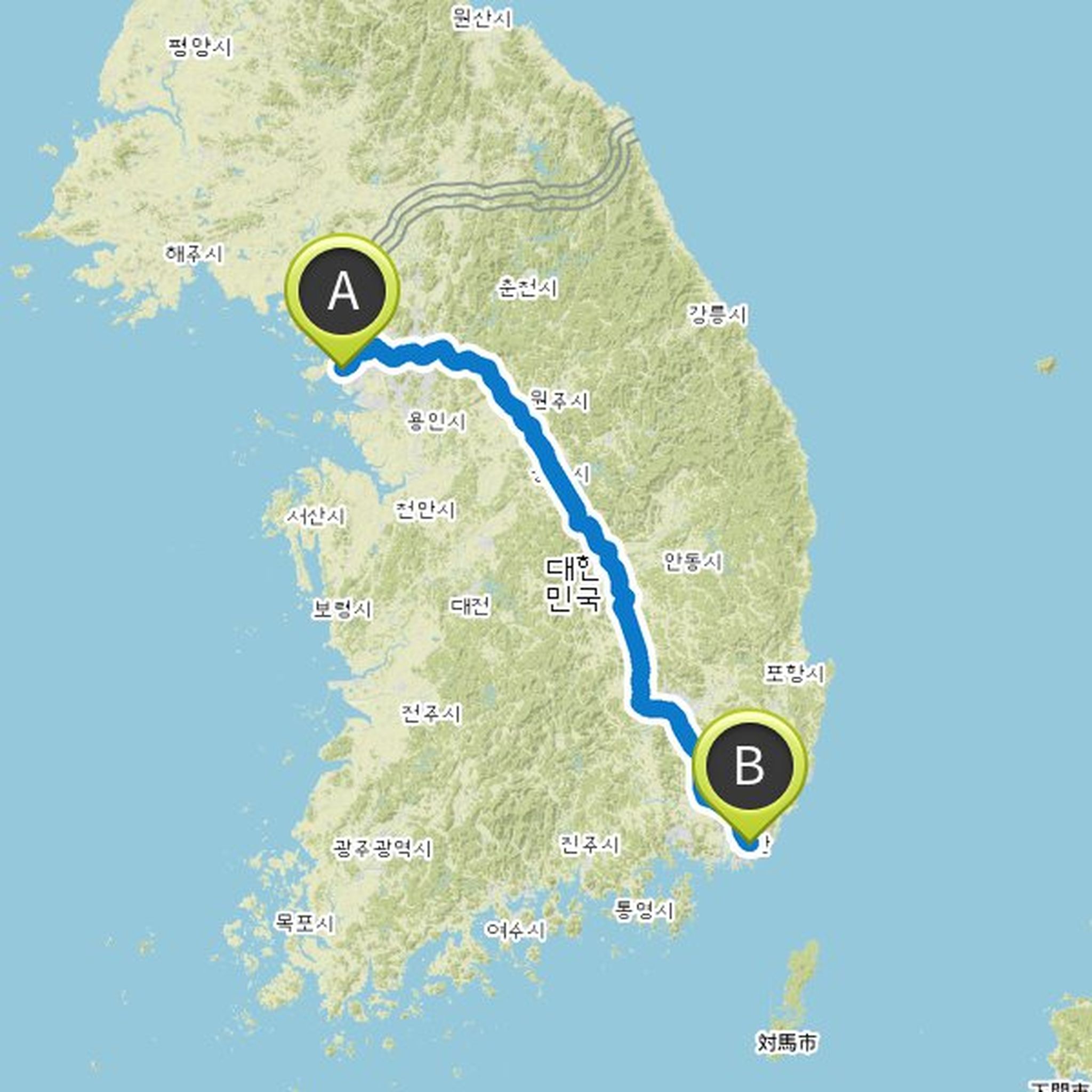
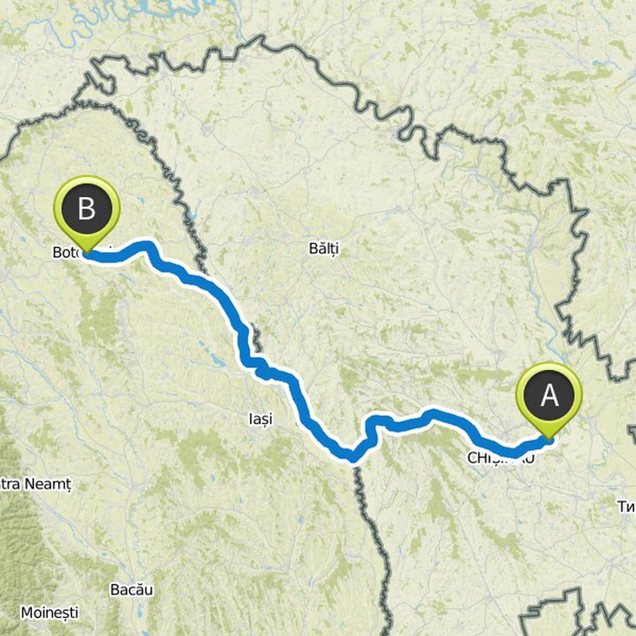
Jonas planned a bike ride
May 13, 2019
Time
162h05m
Distance
1,833km
Speed
11.3km/h
Ascent
16,970m
Descent
16,950m

Map data © OpenStreetMap contributors
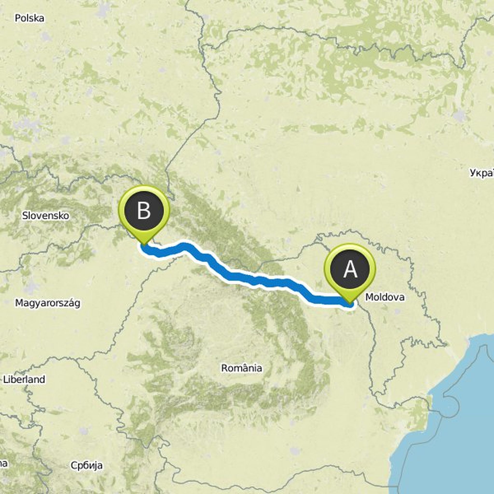
Jonas planned a bike ride
May 13, 2019
Time
43h56m
Distance
514km
Speed
11.7km/h
Ascent
3,650m
Descent
3,500m
Map data © OpenStreetMap contributors
Jonas planned a bike ride
May 13, 2019
Time
606h47m
Distance
7,051km
Speed
11.6km/h
Ascent
55,840m
Descent
55,340m
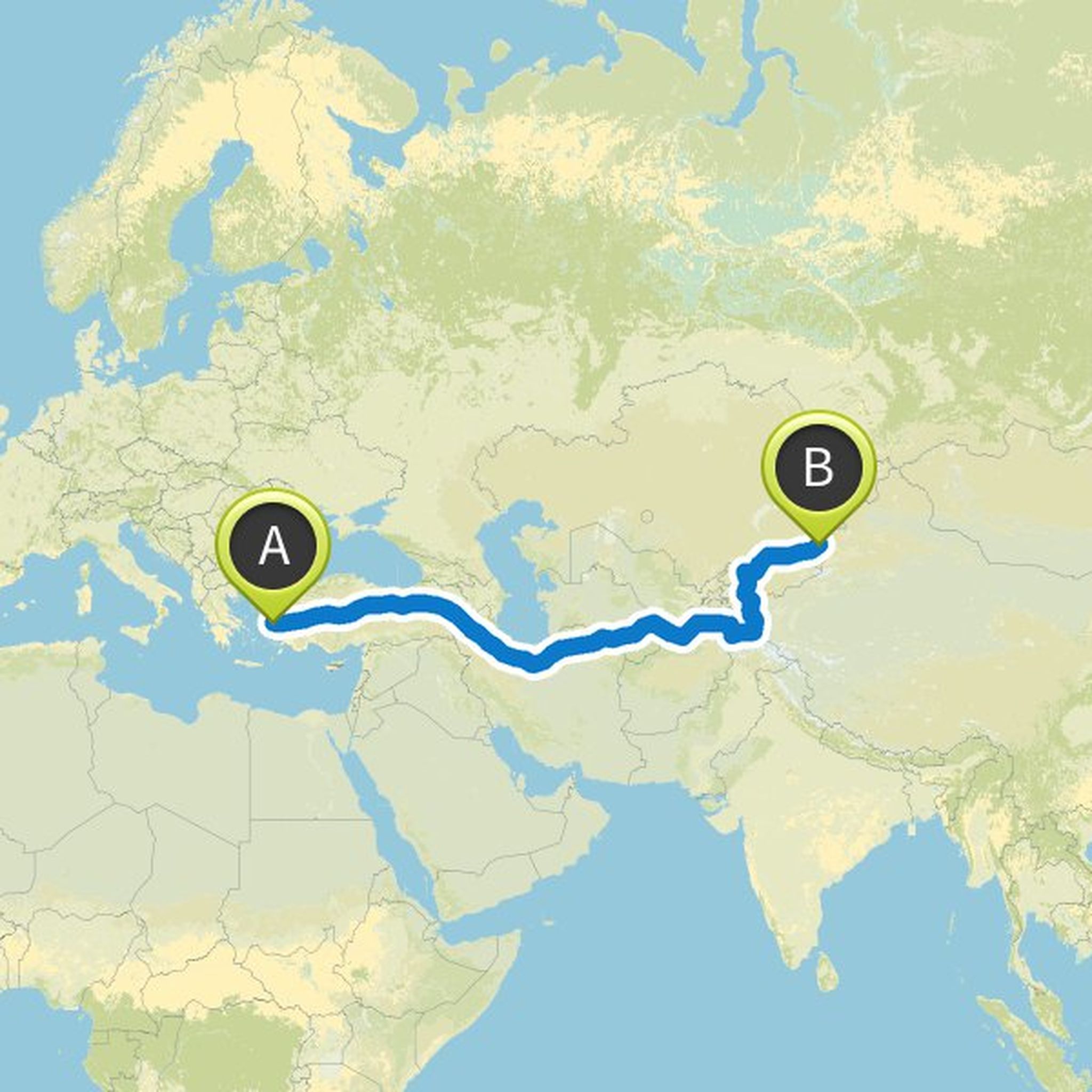
Map data © OpenStreetMap contributors
Jonas planned a bike ride
May 13, 2019
Time
274h27m
Distance
3,054km
Speed
11.1km/h
Ascent
29,480m
Descent
29,400m
Map data © OpenStreetMap contributors
Jonas planned a road ride
August 4, 2018
Time
23h28m
Distance
541km
Speed
23.0km/h
Ascent
3,200m
Descent
3,150m
Map data © OpenStreetMap contributors
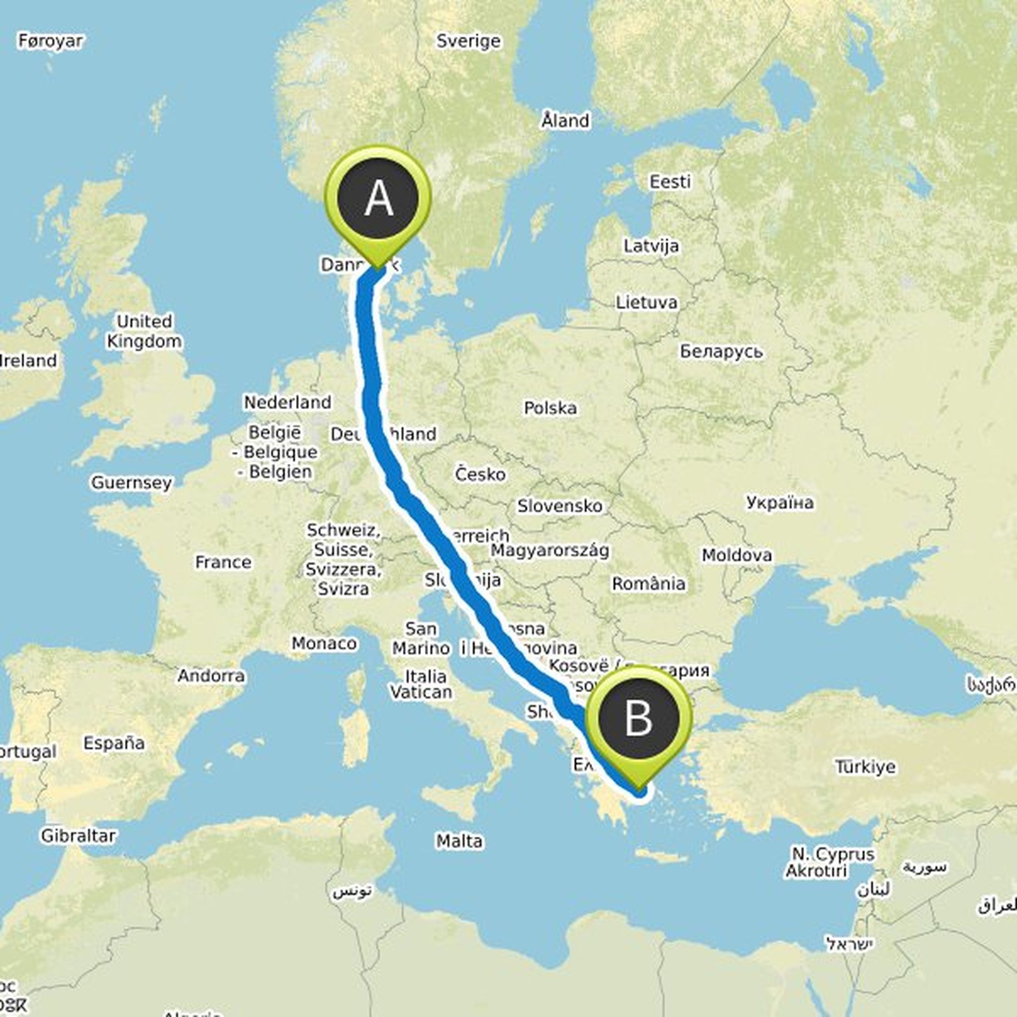
Jonas planned a road ride
August 3, 2018
Time
25h38m
Distance
615km
Speed
24.0km/h
Ascent
3,770m
Descent
3,720m

Map data © OpenStreetMap contributors
Time
1h48m
Distance
28.6km
Speed
15.8km/h
Ascent
260m
Descent
210m

Map data © OpenStreetMap contributors
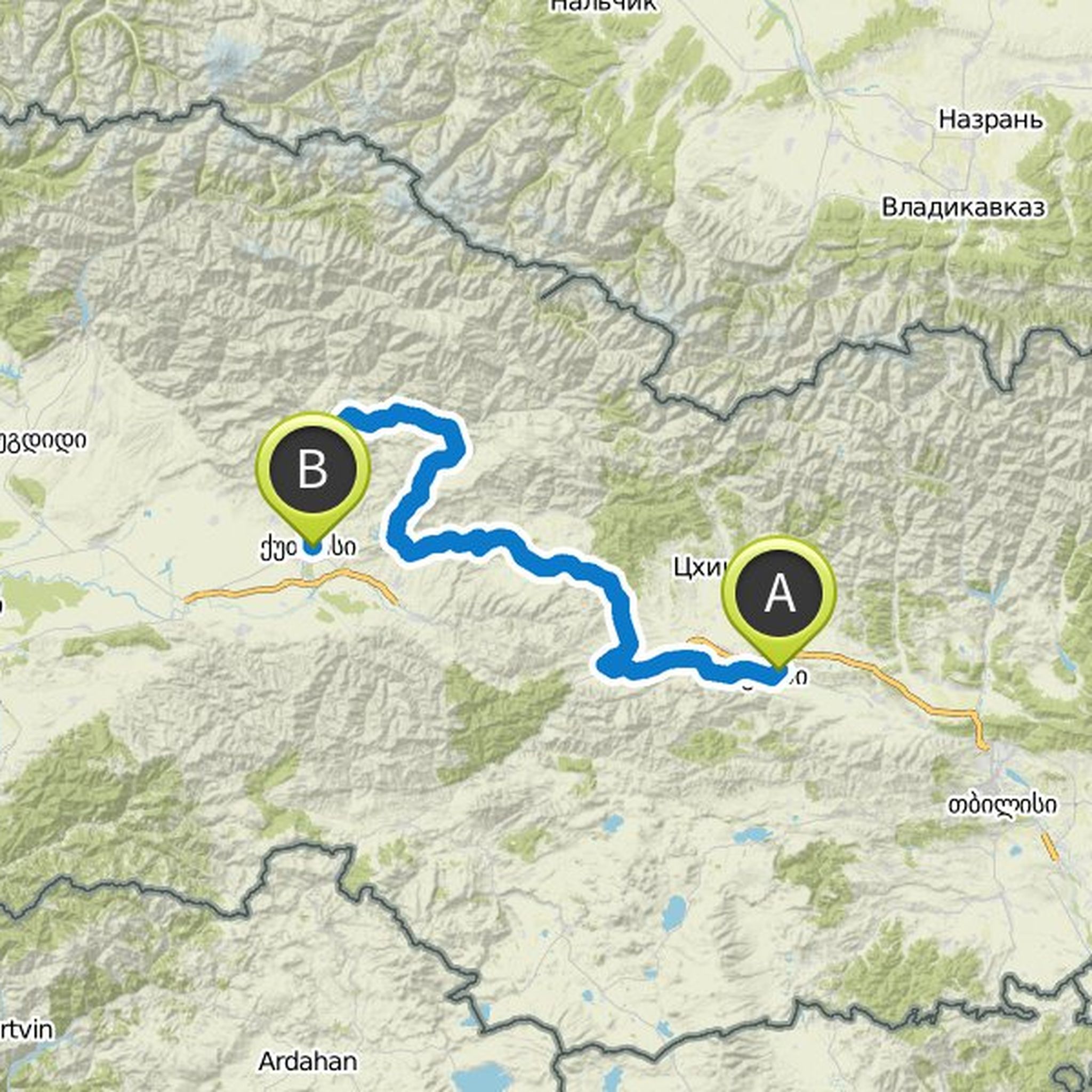
Jonas planned a bike ride
July 10, 2018
Time
25h20m
Distance
264km
Speed
10.4km/h
Ascent
3,600m
Descent
3,870m

Map data © OpenStreetMap contributors
Time
20h52m
Distance
305km
Speed
14.6km/h
Ascent
4,510m
Descent
4,930m
Map data © OpenStreetMap contributors
July 10, 2018
You must stay on the west side of the river until the transition at points 11-13. In this way you will avoid climbing and, above all, the bad motorway with a little space for bikers. Note that Dijkstra can not figure out which route to cross the bridge (hence the dotted line) but it's easy enough when you're there.
Translated by Google •