Timeline
Moritz planned a hike
September 23, 2022
Time
3h11m
Distance
11.2km
Speed
3.5km/h
Ascent
250m
Descent
250m
Map data © OpenStreetMap contributors
Moritz planned a hike
September 23, 2022
Time
3h11m
Distance
11.2km
Speed
3.5km/h
Ascent
250m
Descent
250m
Map data © OpenStreetMap contributors
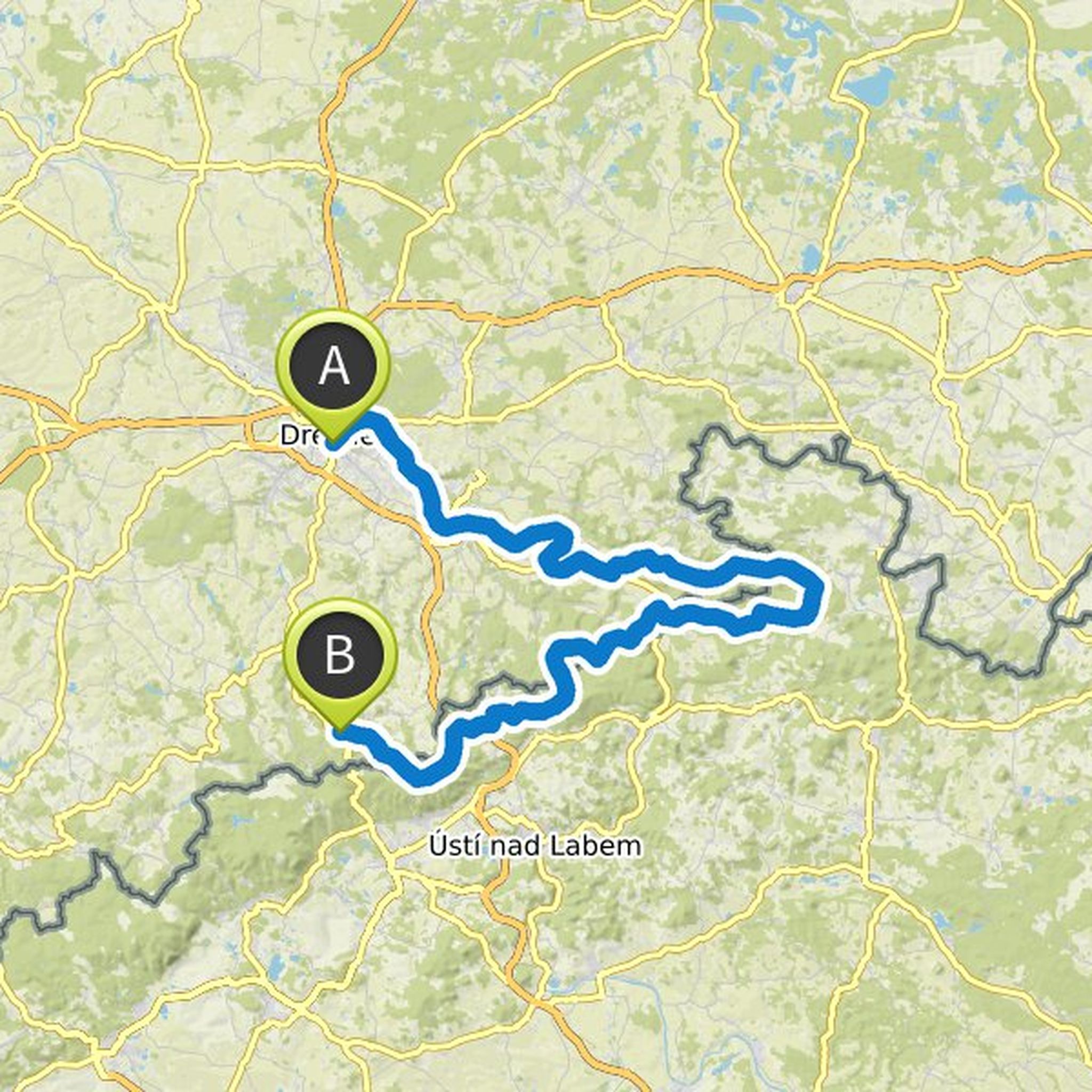
Time
12h52m
Distance
178km
Speed
13.9km/h
Ascent
2,620m
Descent
1,960m
Map data © OpenStreetMap contributors
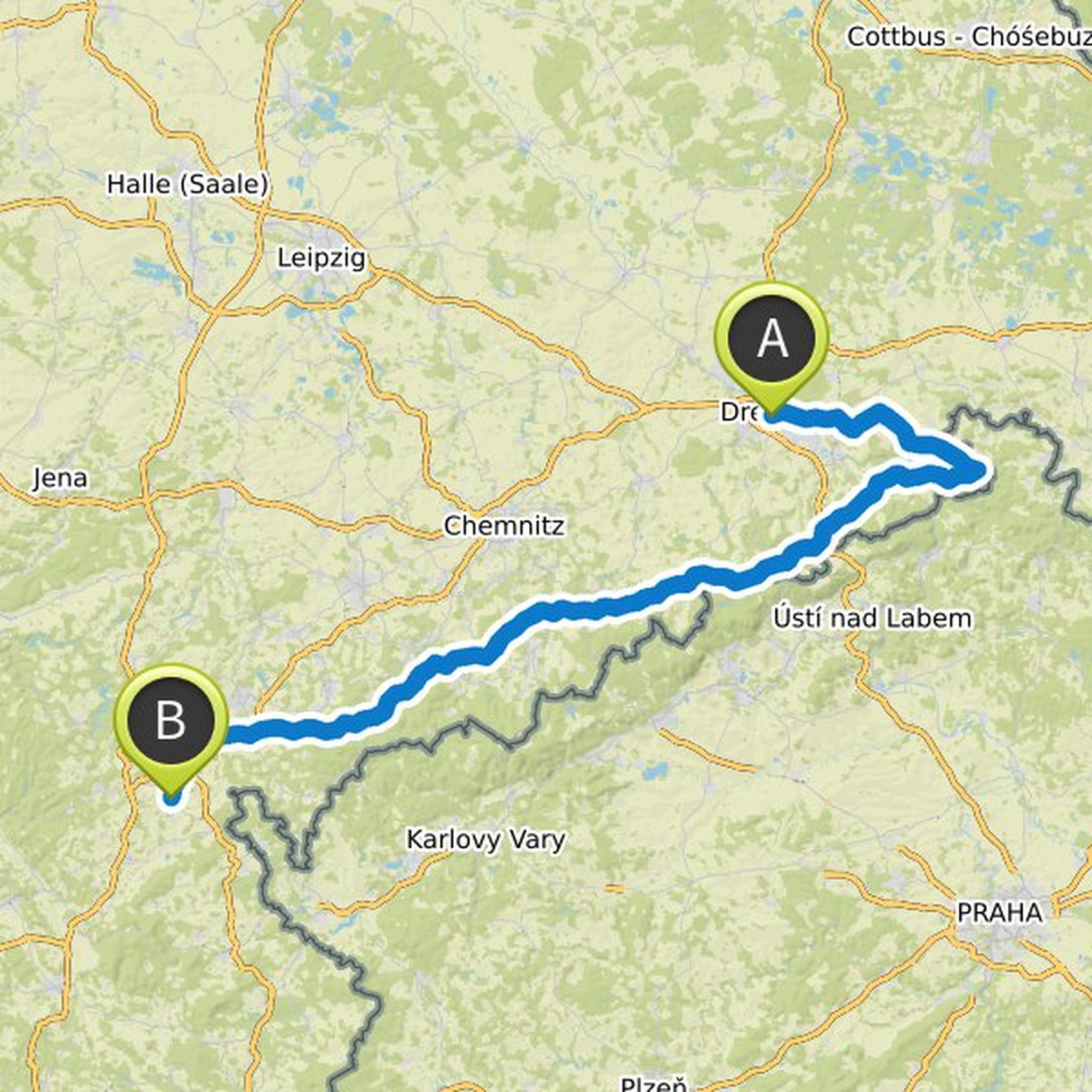
Time
23h55m
Distance
314km
Speed
13.1km/h
Ascent
5,240m
Descent
4,860m
Map data © OpenStreetMap contributors
May 29, 2020
In the Ore Mountains, altitude meters come together quite nicely. Actually, I would have liked to stick to the Erzgebirgsradmagistrale, but that will probably be too much ... maybe then it is a better option to go back north in a curve e.g. Chemnitz
radkompass.de/Radfernweg/saechsische-mittelgebirge-und-erzgebirgsradmagistrale.html
Translated by Google •
June 7, 2020
Overnight stays all on the German side:
1) 40km, 200hm, campsite on Treidlerweg, Koenigstein
2) 25 / 35km, 400 / 600hm, Thorwaldblick campsite
3) 44km, 650hm, Zschirnstein bivouac
+ 6km, + 130hm, Taubenstein bivouac
4) 45km, 700m, Geising train station
+ 4km, 200hm, camping small gallows pond
Translated by Google •