Timeline
Manu planned a bike ride
September 20, 2024
Time
Distance
Speed
Ascent
Descent
Manu planned a mountain bike ride
July 27, 2022
Time
Distance
Speed
Ascent
Descent
Manu planned a mountain bike ride
July 27, 2022
Time
Distance
Speed
Ascent
Descent
Manu planned a mountain bike ride
July 27, 2022
Time
Distance
Speed
Ascent
Descent
Manu and Vanessa Geiger planned a hike
July 18, 2020
Time
Distance
Speed
Ascent
Descent
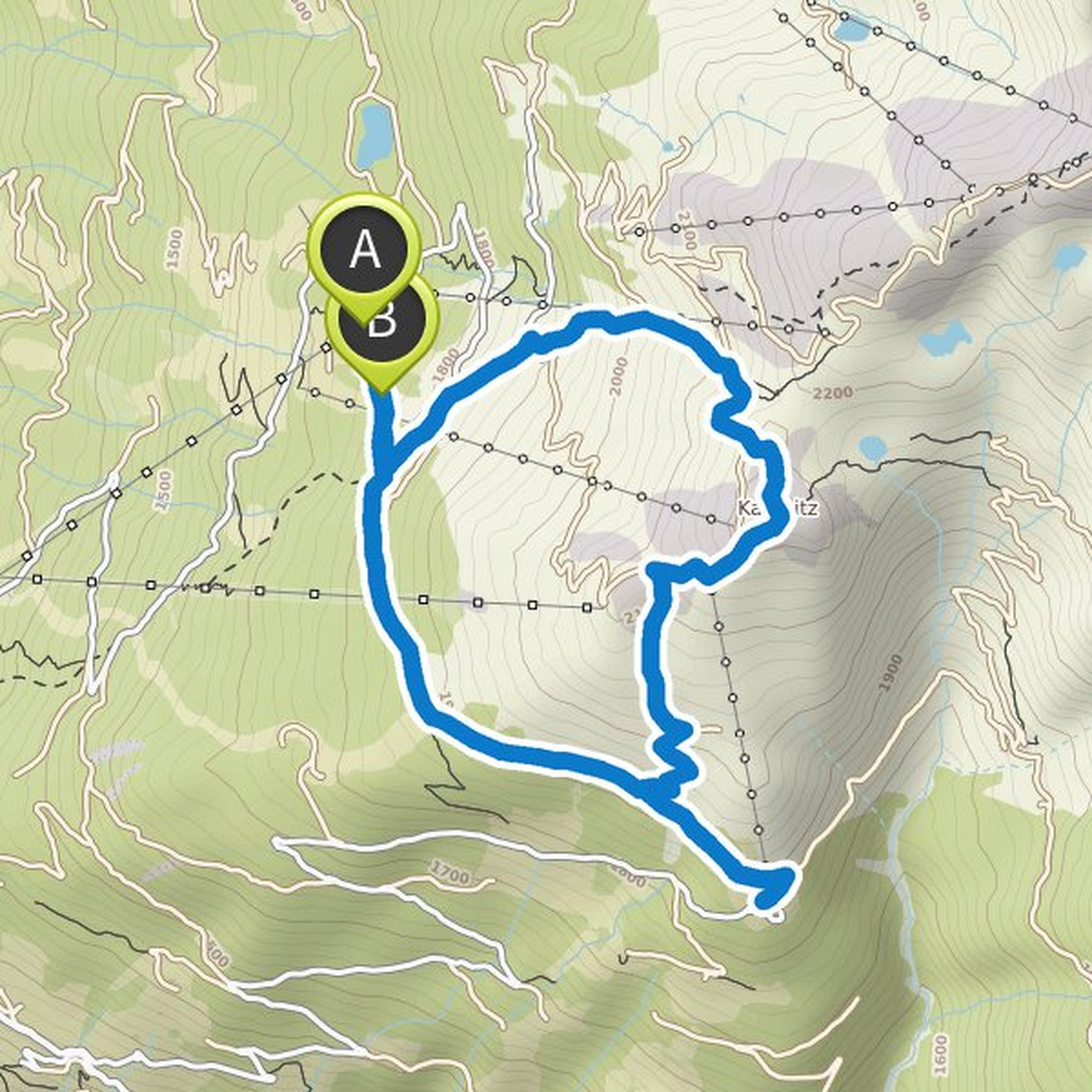
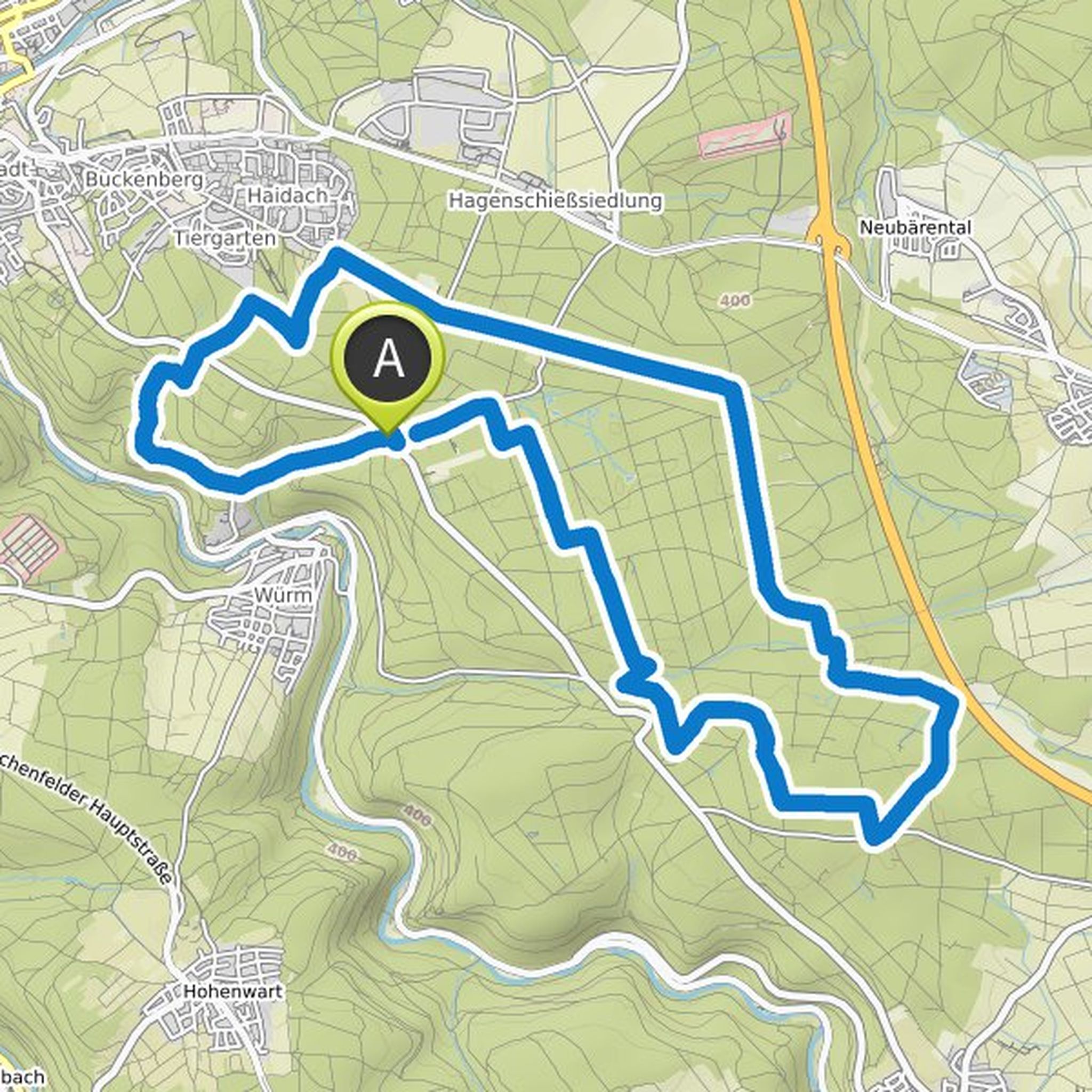
Manu planned a mountain bike ride
July 10, 2020
Time
Distance
Speed
Ascent
Descent
Time
Distance
Speed
Ascent
Descent
Time
Distance
Speed
Ascent
Descent
May 29, 2020
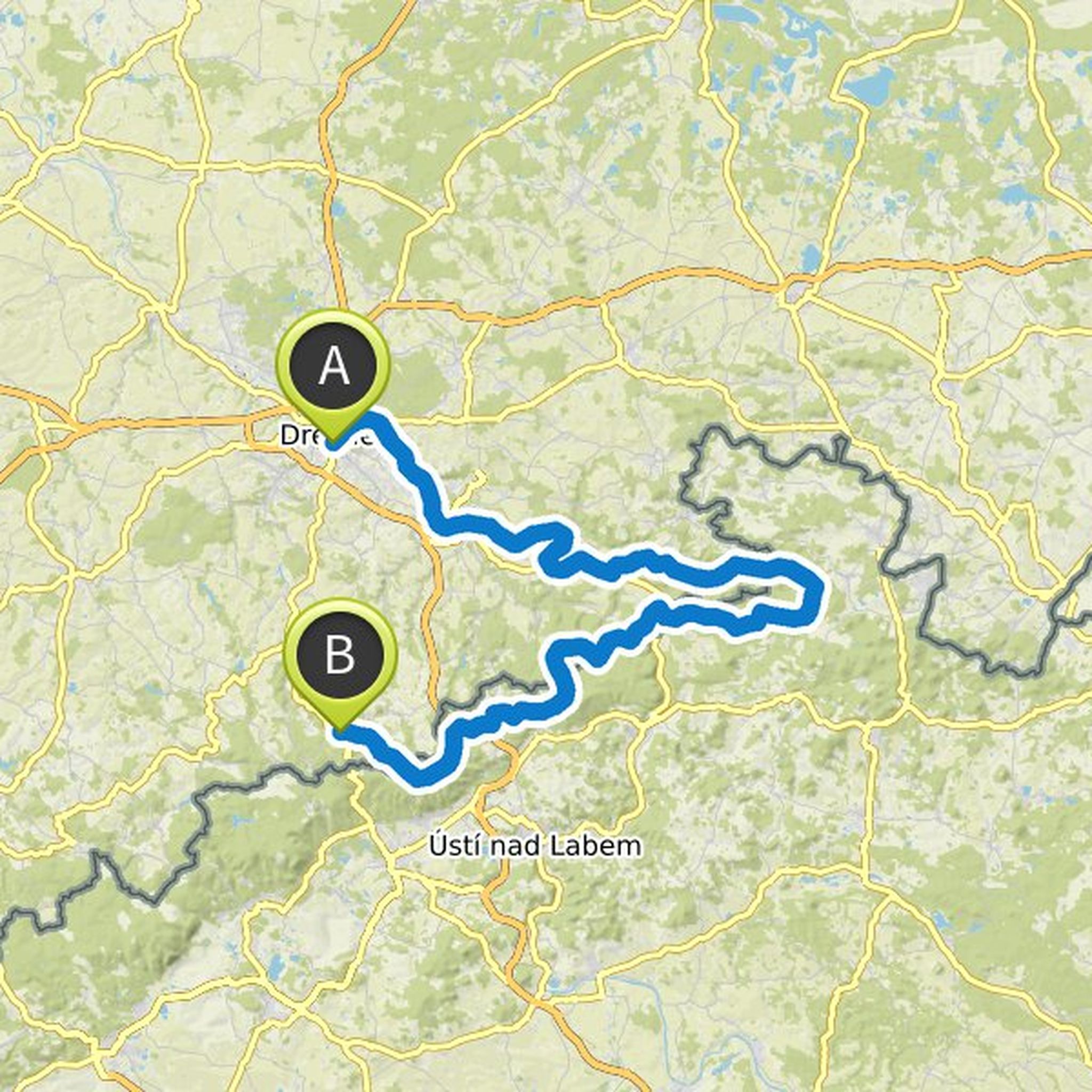
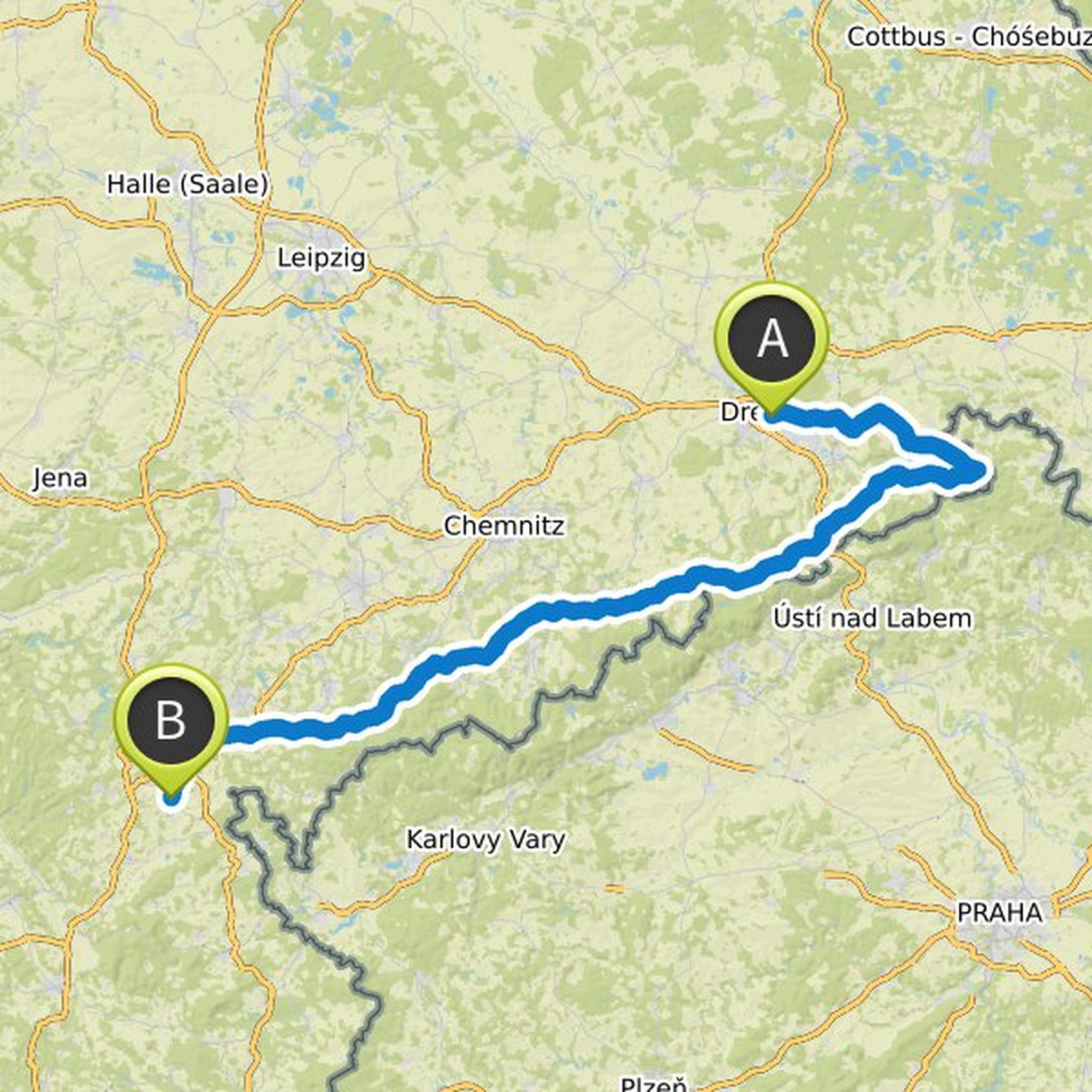
In the Ore Mountains, altitude meters come together quite nicely. Actually, I would have liked to stick to the Erzgebirgsradmagistrale, but that will probably be too much ... maybe then it is a better option to go back north in a curve e.g. Chemnitz
radkompass.de/Radfernweg/saechsische-mittelgebirge-und-erzgebirgsradmagistrale.html
Translated by Google •
June 7, 2020
Overnight stays all on the German side:
1) 40km, 200hm, campsite on Treidlerweg, Koenigstein
2) 25 / 35km, 400 / 600hm, Thorwaldblick campsite
3) 44km, 650hm, Zschirnstein bivouac
+ 6km, + 130hm, Taubenstein bivouac
4) 45km, 700m, Geising train station
+ 4km, 200hm, camping small gallows pond
Translated by Google •