Timeline
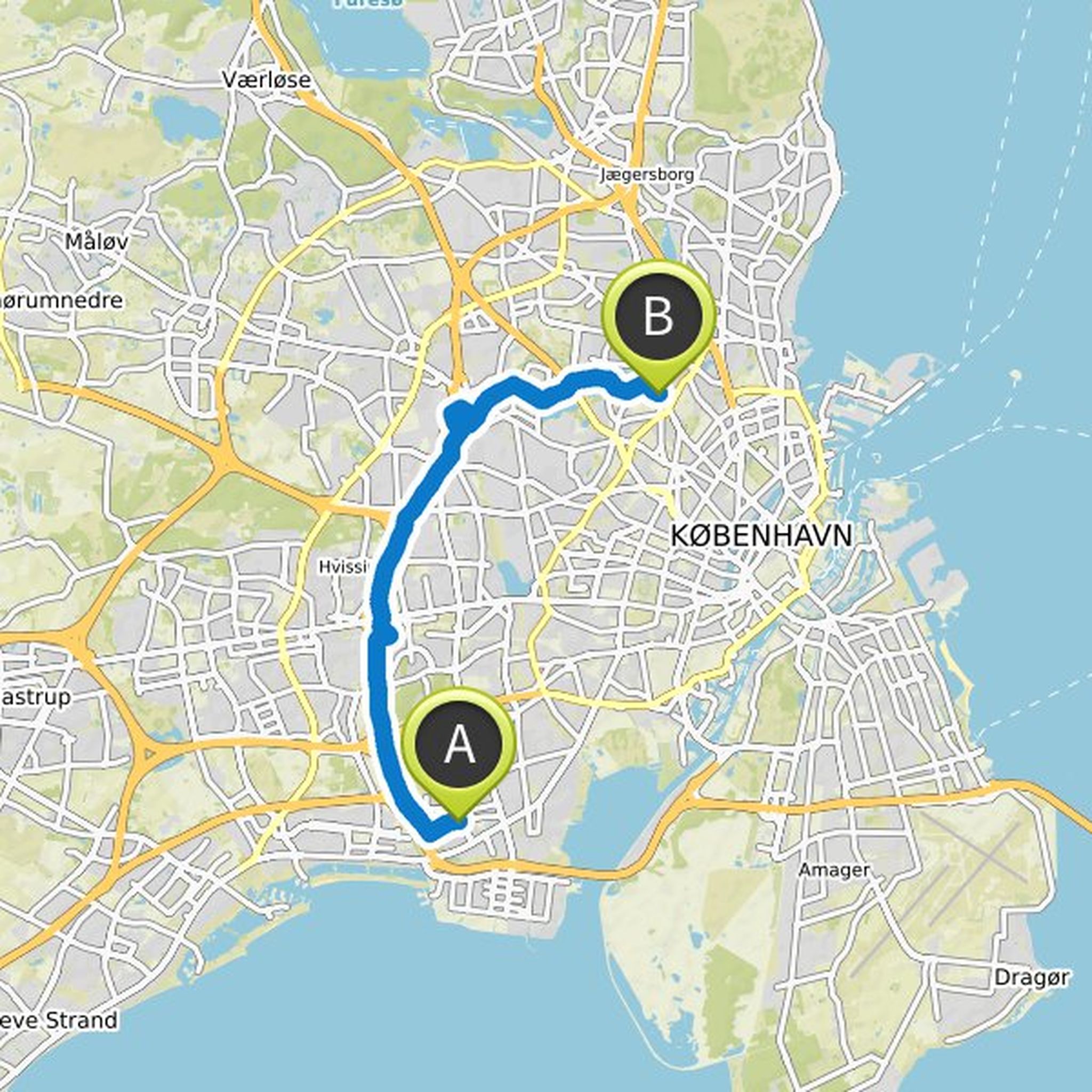
Anastasia Gro Michélsen planned a hike
July 23, 2024
Time
Distance
Speed
Ascent
Descent
Alex likes this.
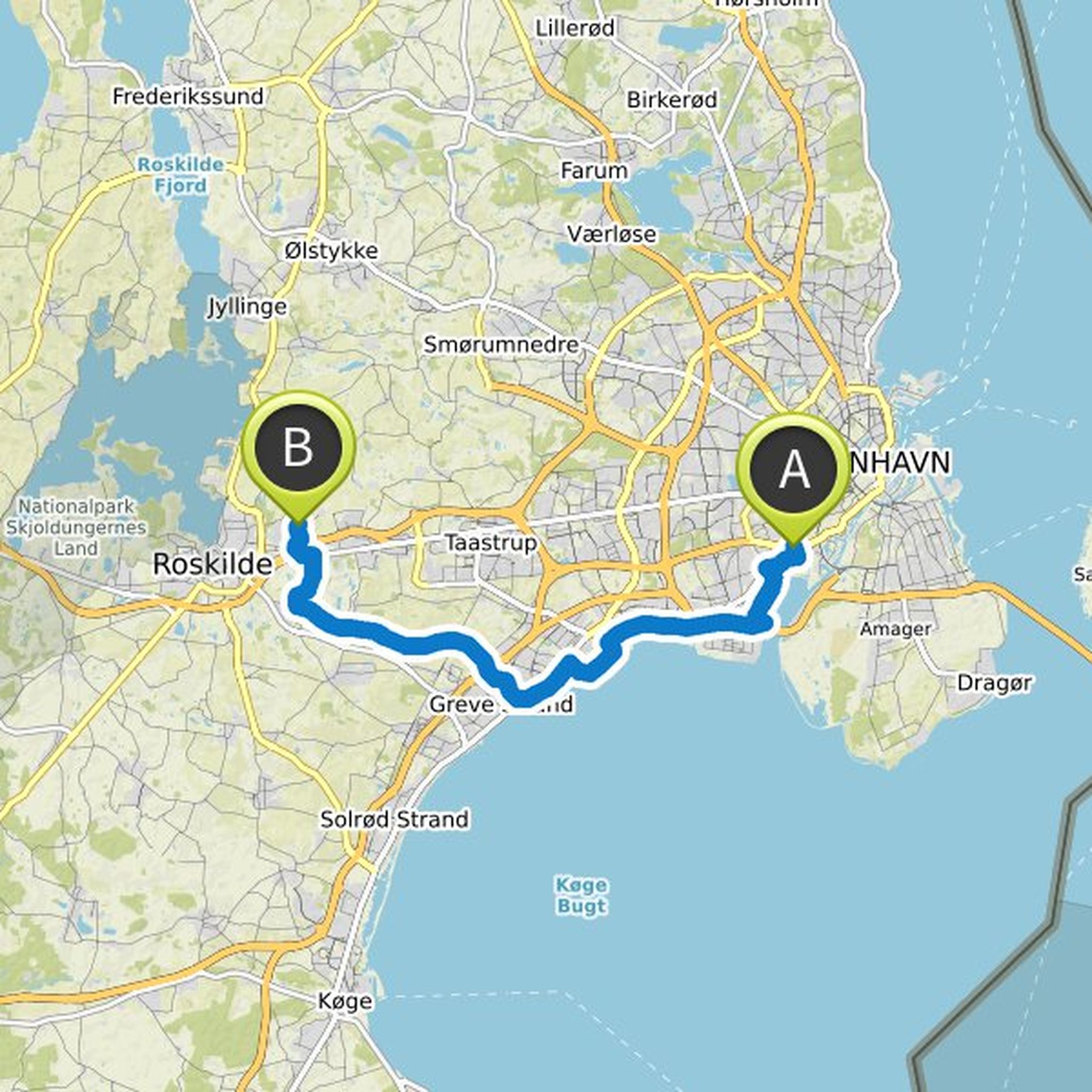
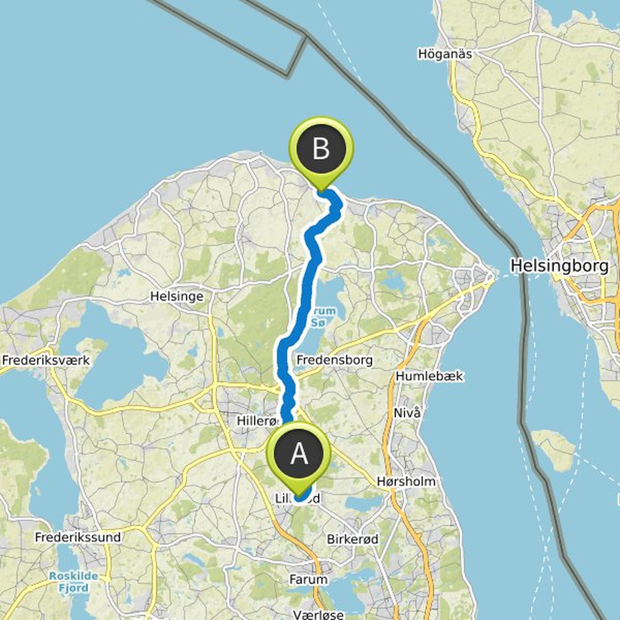
Anastasia Gro Michélsen planned a hike
July 23, 2024
Time
Distance
Speed
Ascent
Descent
Alex likes this.
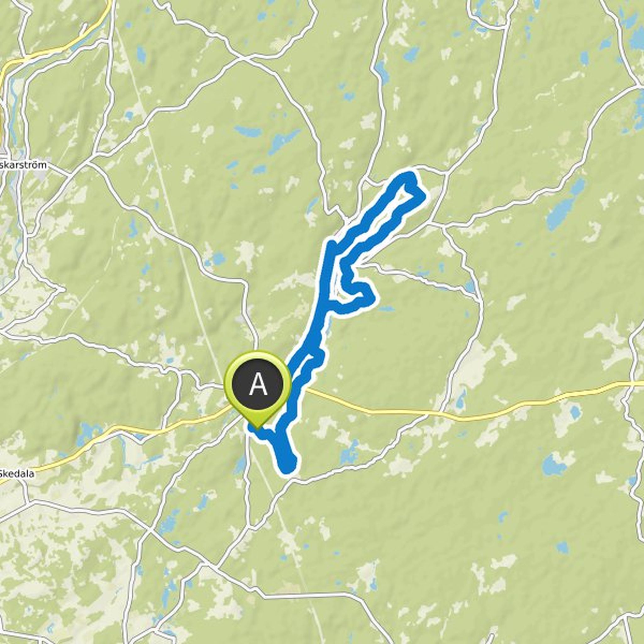
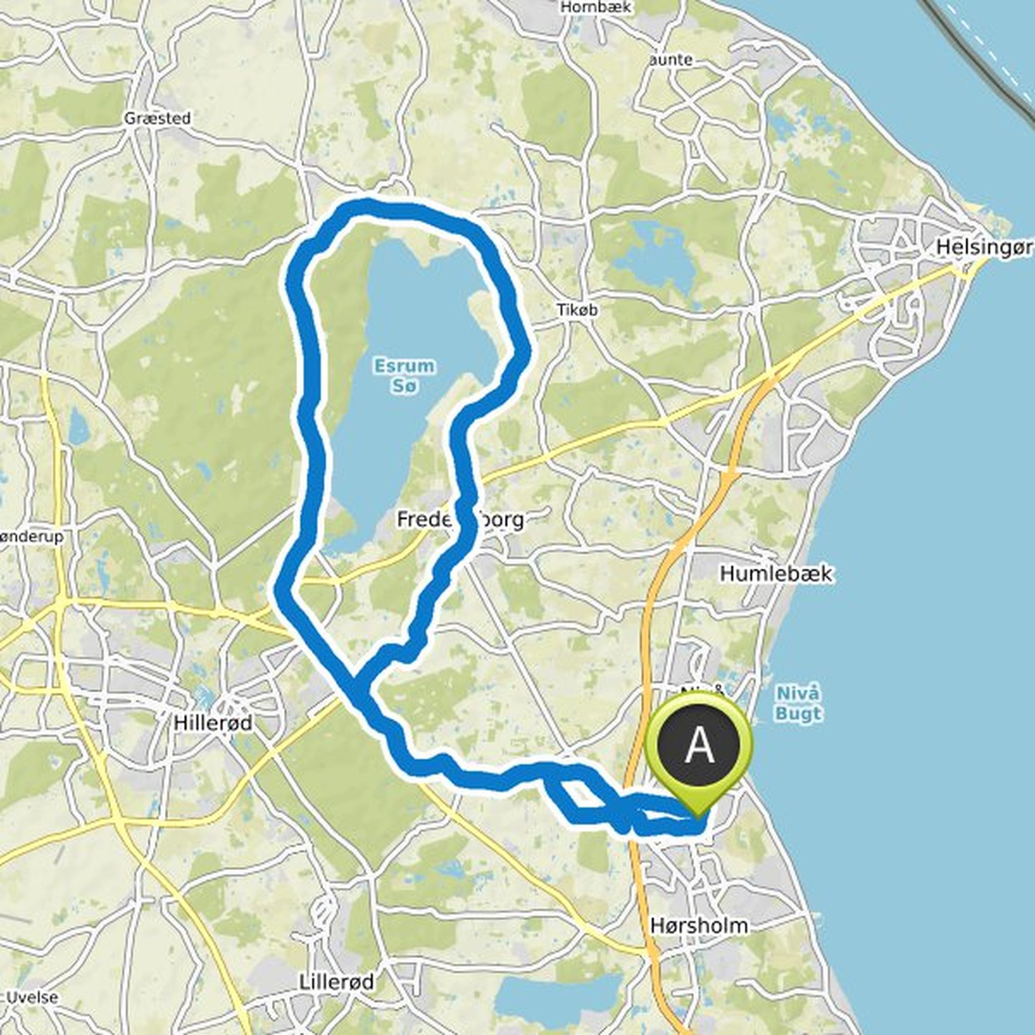
Anastasia Gro Michélsen planned a hike
July 23, 2024
Time
Distance
Speed
Ascent
Descent
Alex likes this.
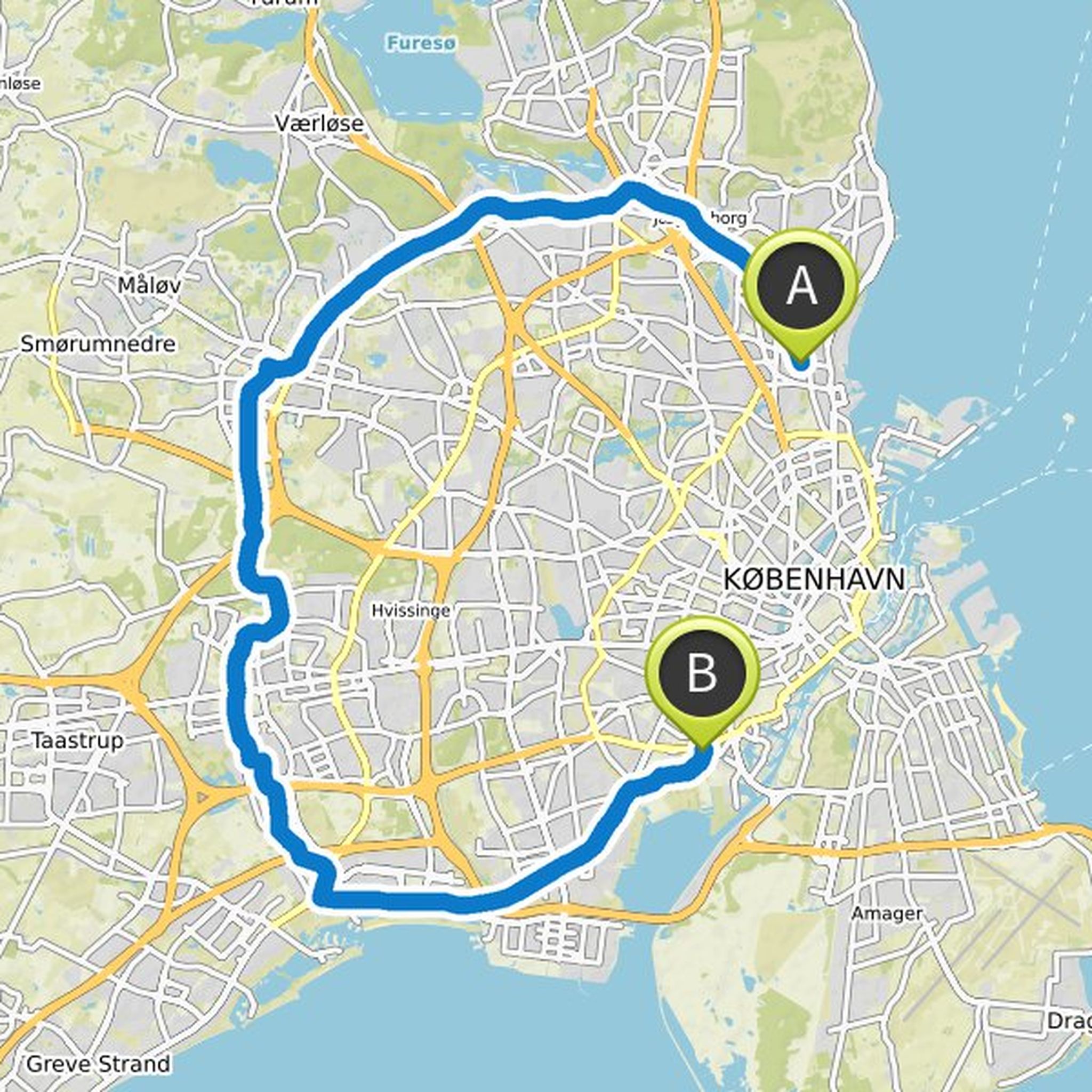
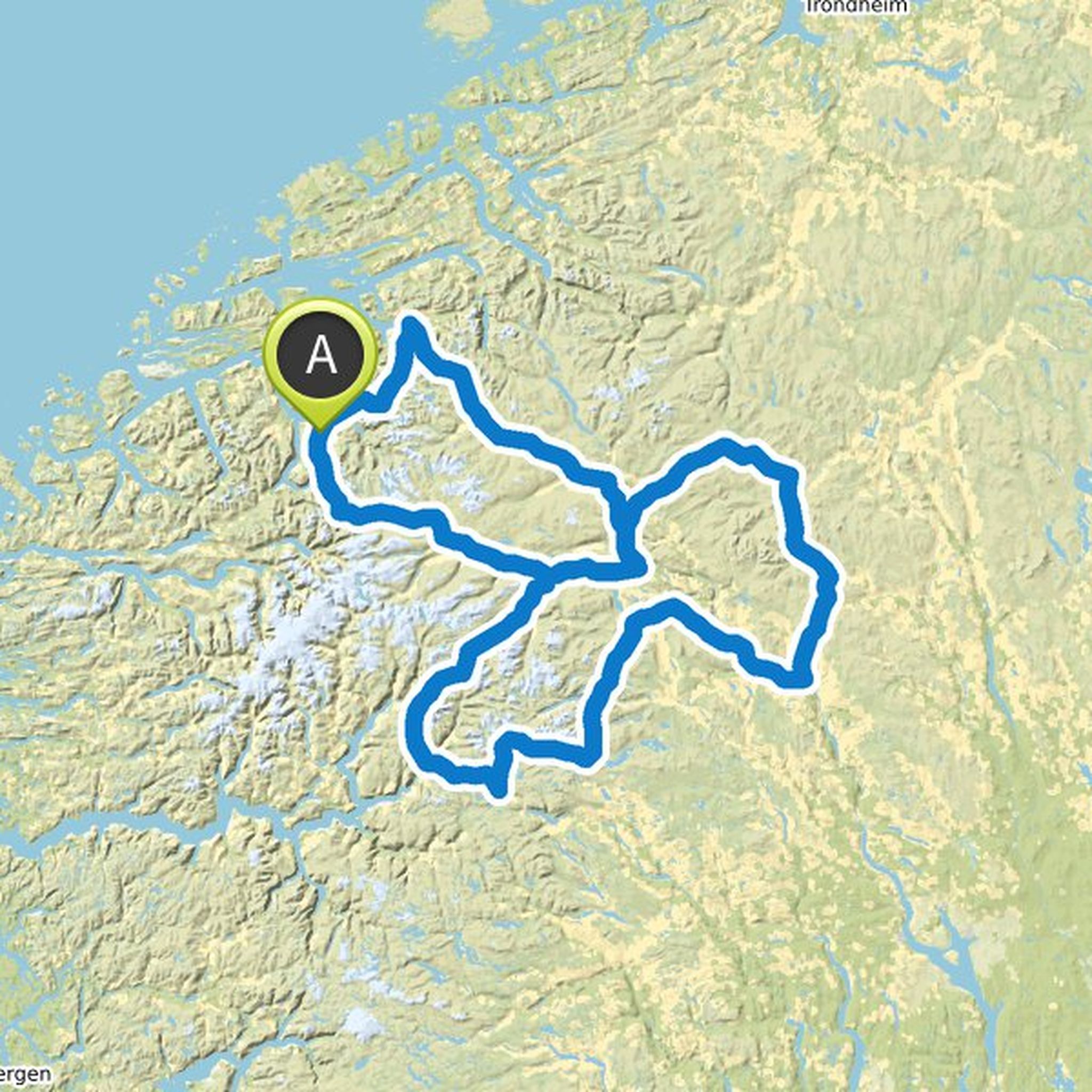
Anastasia Gro Michélsen planned a hike
July 23, 2024
Time
Distance
Speed
Ascent
Descent
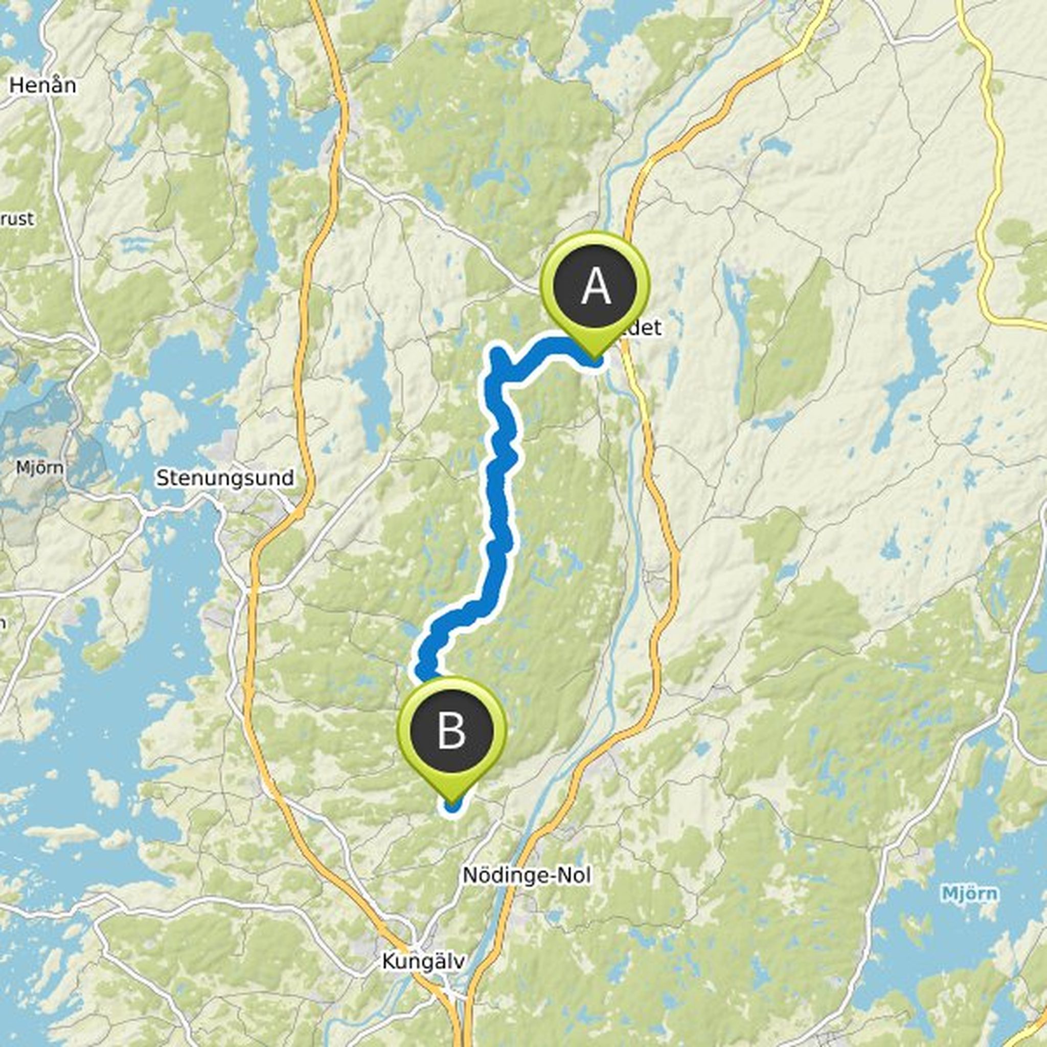
Anastasia Gro Michélsen planned a hike
July 23, 2024
Time
Distance
Speed
Ascent
Descent
Anastasia Gro Michélsen and Ypsidyps planned a hike
December 28, 2020
Time
Distance
Speed
Ascent
Descent

Malene Mortensen likes this.
Anastasia Gro Michélsen and Ypsidyps planned a hike
October 28, 2020
Time
Distance
Speed
Ascent
Descent

Anastasia Gro Michélsen planned a hike
October 12, 2020
Time
Distance
Speed
Ascent
Descent
Anastasia Gro Michélsen and Malene Mortensen planned a road ride
May 12, 2020
Time
Distance
Speed
Ascent
Descent
Ypsidyps likes this.
Anastasia Gro Michélsen planned a hike
May 6, 2020
Time
Distance
Speed
Ascent
Descent
Anastasia Gro Michélsen planned a road ride
May 2, 2020
Time
Distance
Speed
Ascent
Descent
Anastasia Gro Michélsen planned a hike
February 7, 2020
Time
Distance
Speed
Ascent
Descent
Anastasia Gro Michélsen planned a hike
February 3, 2020
Time
Distance
Speed
Ascent
Descent
Anastasia Gro Michélsen planned a bike ride
January 27, 2020
Time
Distance
Speed
Ascent
Descent
Anastasia Gro Michélsen planned a road ride
January 11, 2020
Time
Distance
Speed
Ascent
Descent
January 4, 2021
Nice!