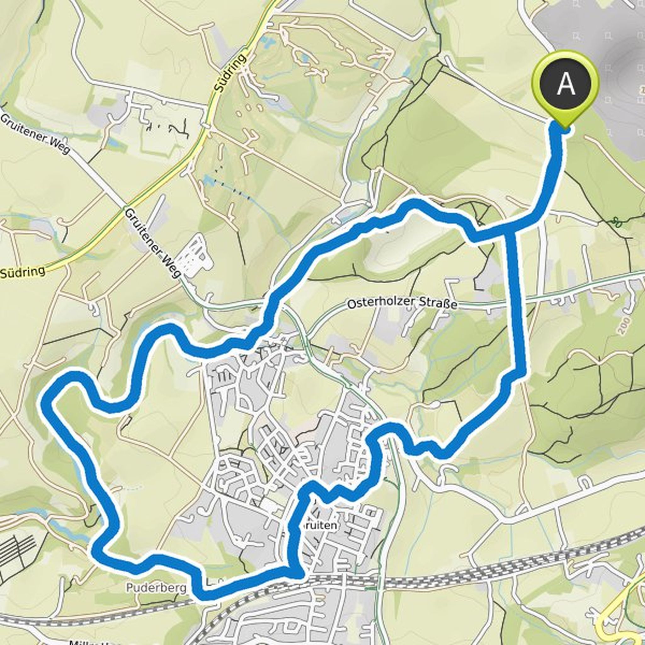
Timeline
Anja Hugendieck and Andreas Hugendieck planned a hike
April 28, 2023
Time
4h09m
Distance
15.0km
Speed
3.6km/h
Ascent
260m
Descent
270m
Map data © OpenStreetMap contributors
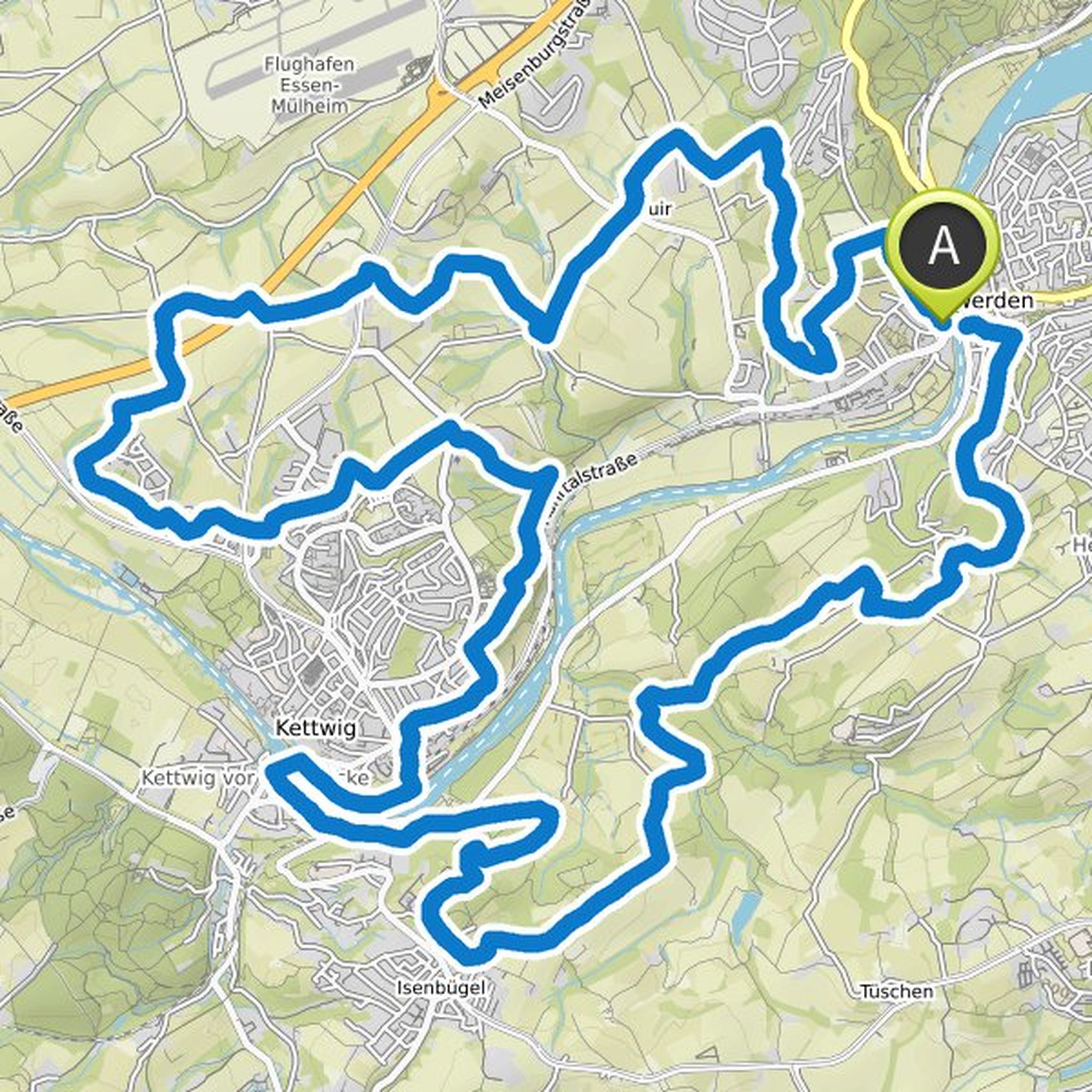
Anja Hugendieck and others planned a hike
April 28, 2023
Time
3h06m
Distance
11.4km
Speed
3.7km/h
Ascent
180m
Descent
180m
Map data © OpenStreetMap contributors
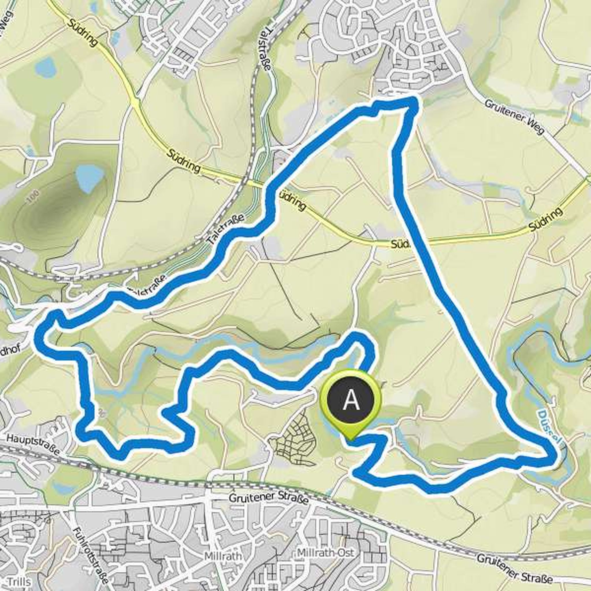
Anja Hugendieck and others planned a hike
December 19, 2020
Time
3h09m
Distance
11.7km
Speed
3.7km/h
Ascent
150m
Descent
150m
Map data © OpenStreetMap contributors
Anja Hugendieck and Andreas Hugendieck planned a hike
March 15, 2020
Time
9h41m
Distance
35.2km
Speed
3.6km/h
Ascent
620m
Descent
630m
Map data © OpenStreetMap contributors
Andreas Hugendieck planned a hike
May 25, 2017
Time
3h08m
Distance
11.8km
Speed
3.7km/h
Ascent
130m
Descent
130m
Map data © OpenStreetMap contributors