Timeline
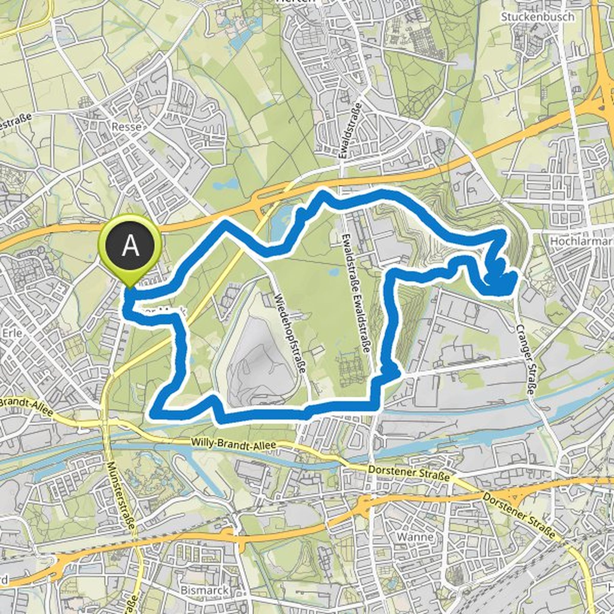
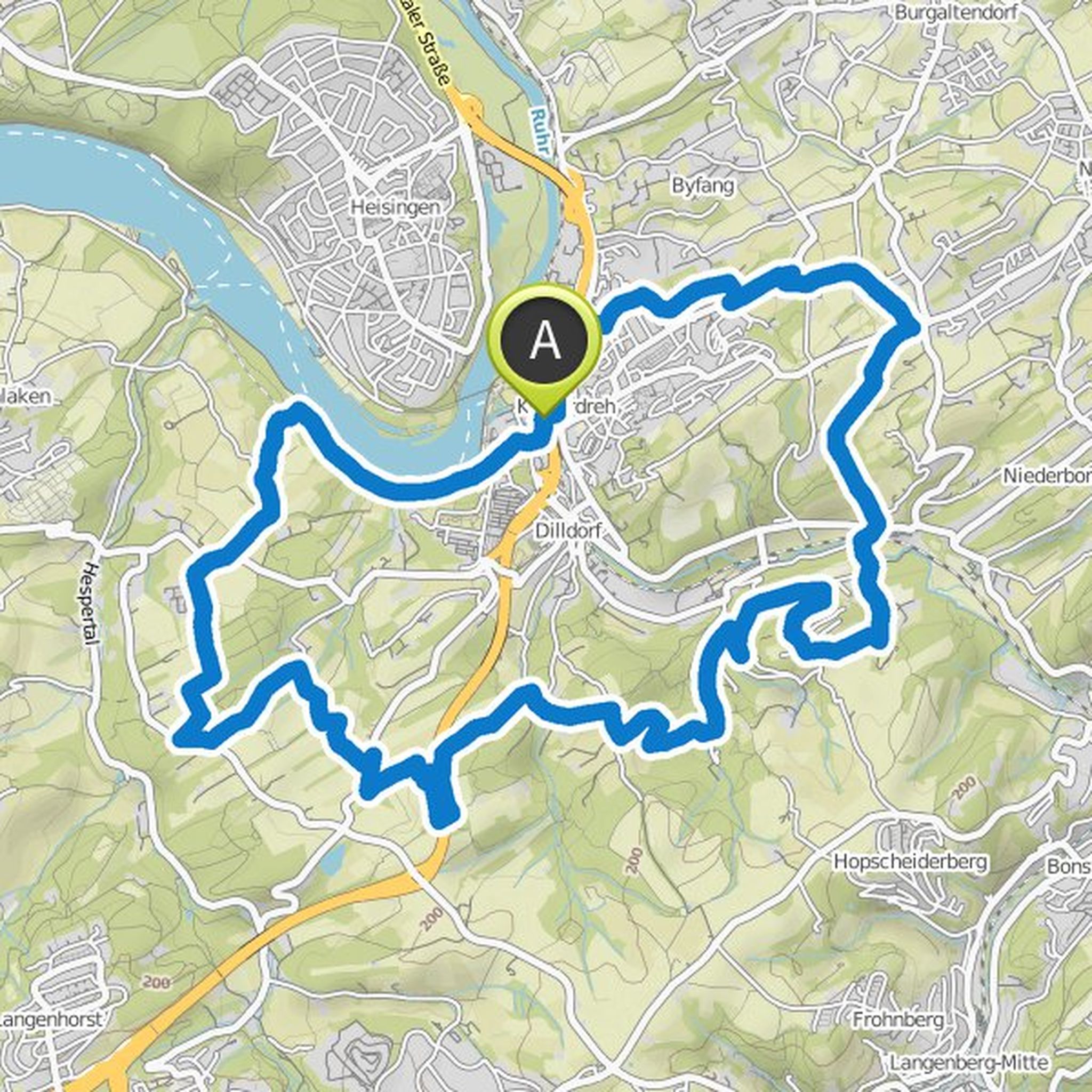
Anja Hugendieck and others planned a hike
April 28, 2023
Time
3h06m
Distance
11.4km
Speed
3.7km/h
Ascent
180m
Descent
180m
Map data © OpenStreetMap contributors
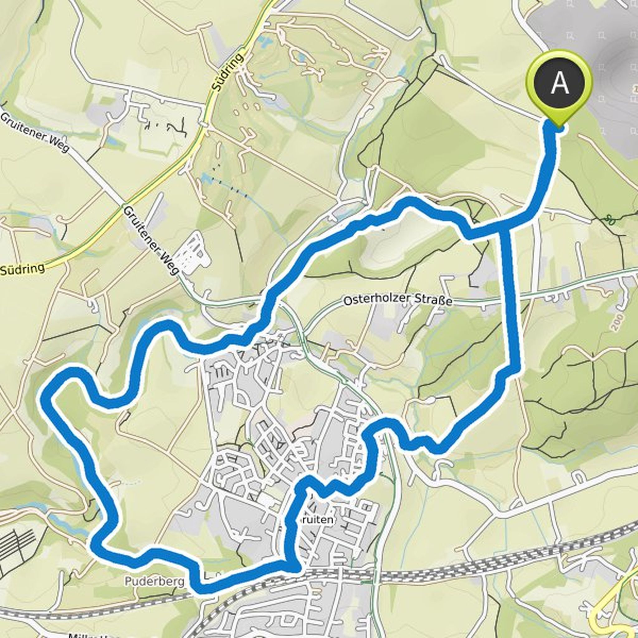
Barbara planned a hike
March 16, 2022
Time
4h31m
Distance
16.9km
Speed
3.7km/h
Ascent
200m
Descent
200m
Map data © OpenStreetMap contributors
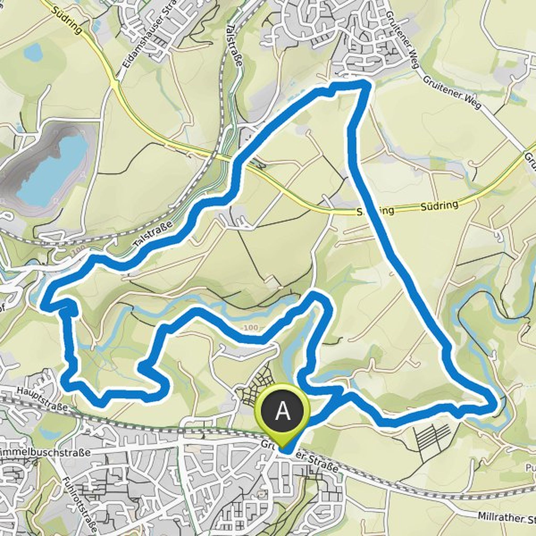
Anja Hugendieck and others planned a hike
December 19, 2020
Time
3h09m
Distance
11.7km
Speed
3.7km/h
Ascent
150m
Descent
150m
Map data © OpenStreetMap contributors
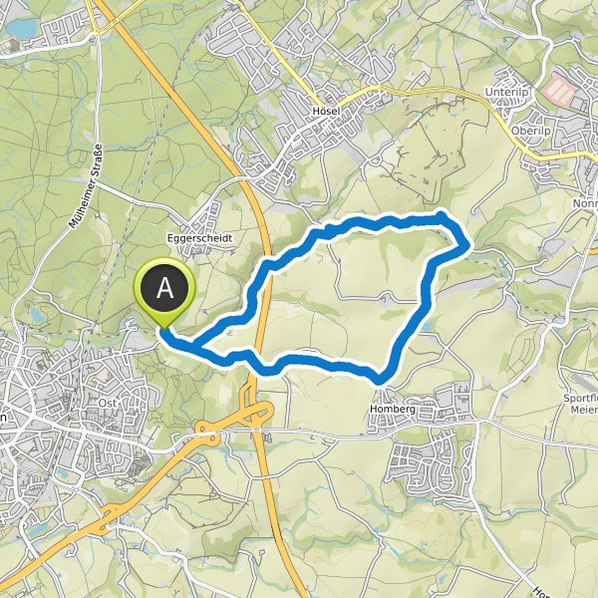
Barbara planned a hike
June 6, 2020
Time
3h39m
Distance
13.7km
Speed
3.8km/h
Ascent
140m
Descent
140m
Map data © OpenStreetMap contributors
Barbara and Dreisewerd planned a hike
March 4, 2019
Time
10h04m
Distance
36.6km
Speed
3.6km/h
Ascent
660m
Descent
660m
Map data © OpenStreetMap contributors
Barbara planned a hike
October 14, 2017
Time
2h48m
Distance
10.5km
Speed
3.7km/h
Ascent
120m
Descent
120m
Map data © OpenStreetMap contributors
Time
6h03m
Distance
21.7km
Speed
3.6km/h
Ascent
410m
Descent
410m
Map data © OpenStreetMap contributors
Beate Bolle, Marten and sigrid like this.
February 25, 2023
Hi Barbara, do you know where there is a bus stop about halfway. LG Sigrid
Translated by Google •