We value your privacy ⛰️
We use cookies that are essential for the app and website to function correctly or are used to produce aggregated statistics. With your consent, we and our third-party partners will also use tracking technologies to improve the in-app and navigation experience, and to provide you with personalized services and content. To give your consent, tap Accept all cookies.
Alternatively, you can customize your privacy settings by tapping Customize Preferences, or by going to Cookie Preferences at any time. If you don’t want us to use non-technical tracking technologies, tap Refuse.
For more information about how we process your personal data through cookies, take a look at our Privacy Policy.
January 25, 2018
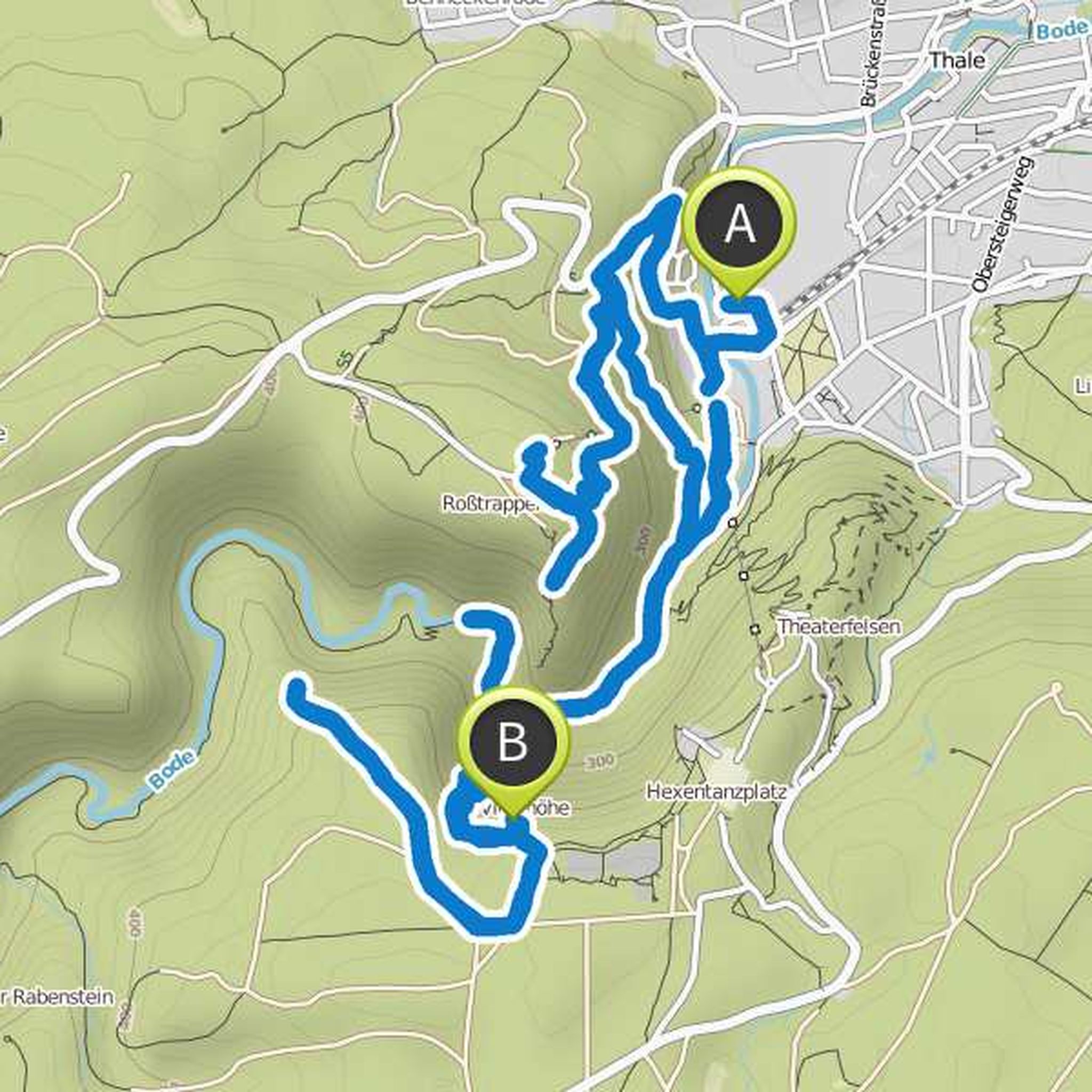
do not worry it's not difficult the map just thinks we can run up both mountains. Instead, we drive to Rosstrappe with the chairlift and the Hexentanzplatz with the cable car. That's how it should be. If Tayler can not do everything we can stop early and continue at some point!
Translated by Google •