Timeline
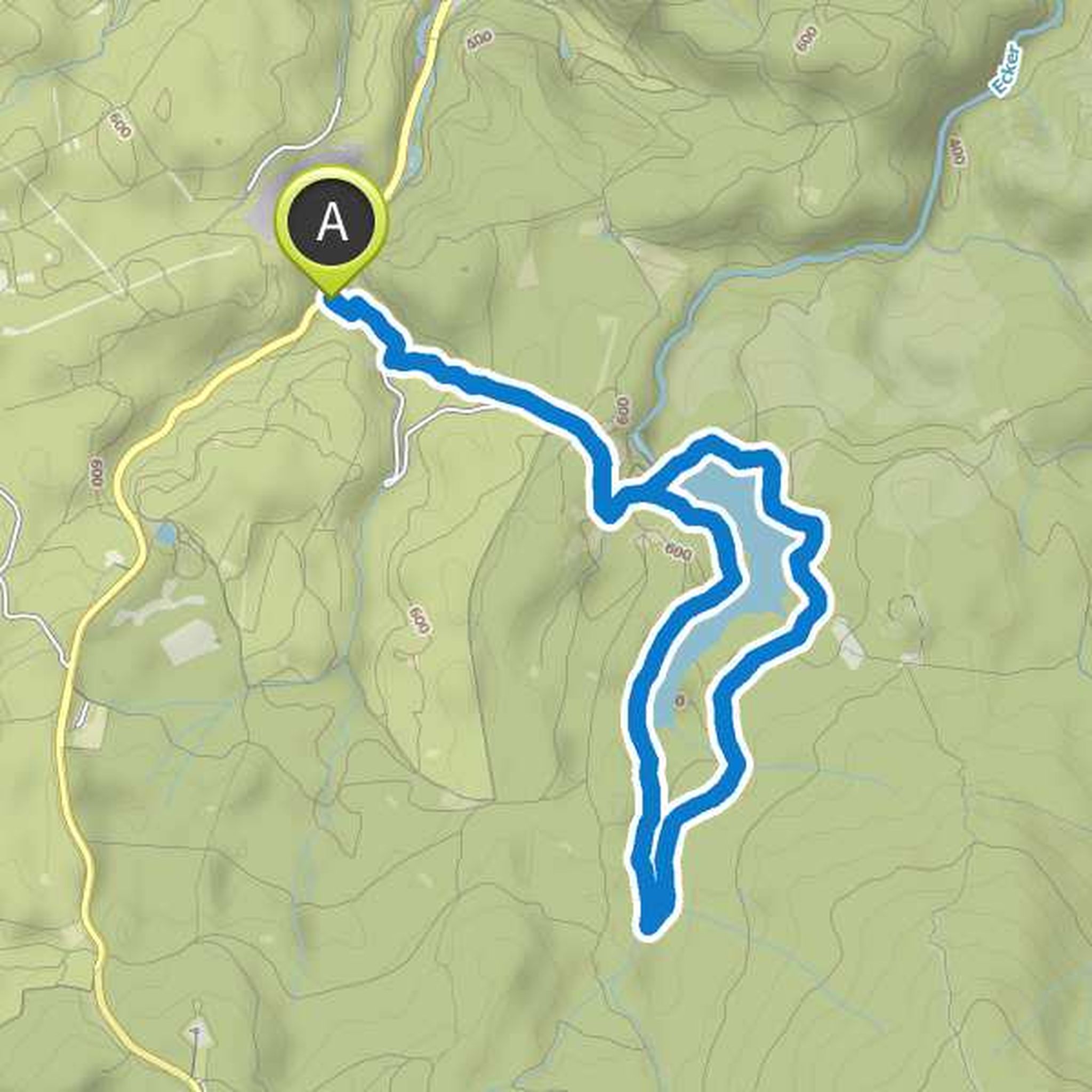
Ilka Nebe planned a hike
February 3, 2018
Time
2h50m
Distance
11.1km
Speed
3.9km/h
Ascent
40m
Descent
40m
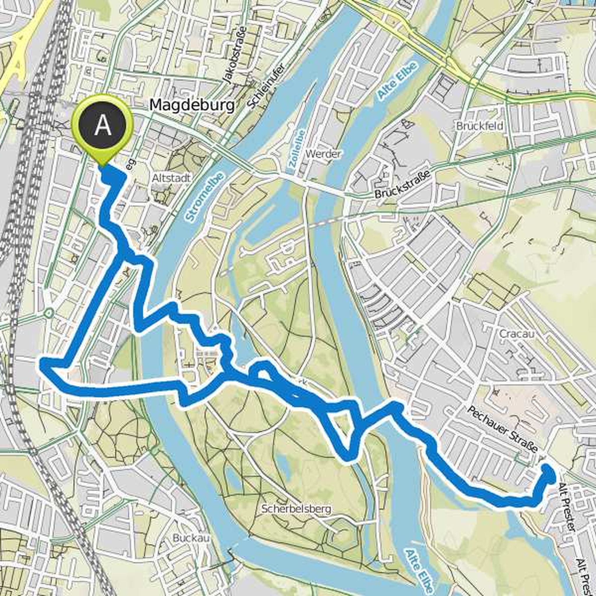
Map data © OpenStreetMap contributors
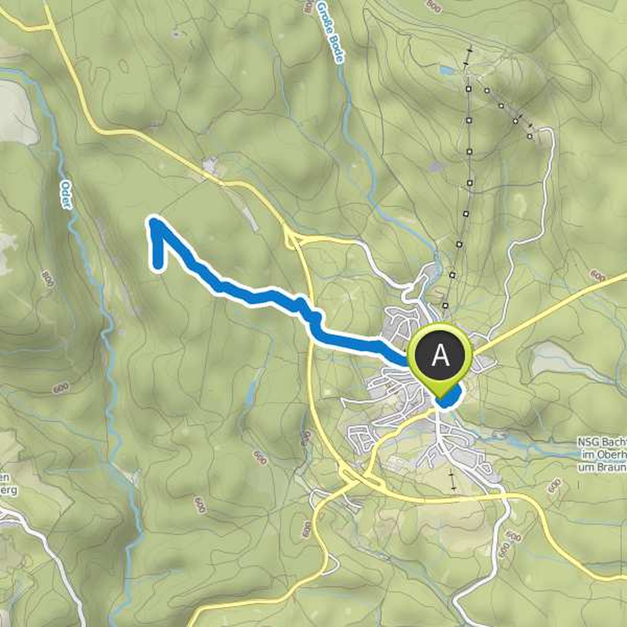
Ilka Nebe planned a hike
January 28, 2018
Time
2h25m
Distance
8.06km
Speed
3.3km/h
Ascent
260m
Descent
260m
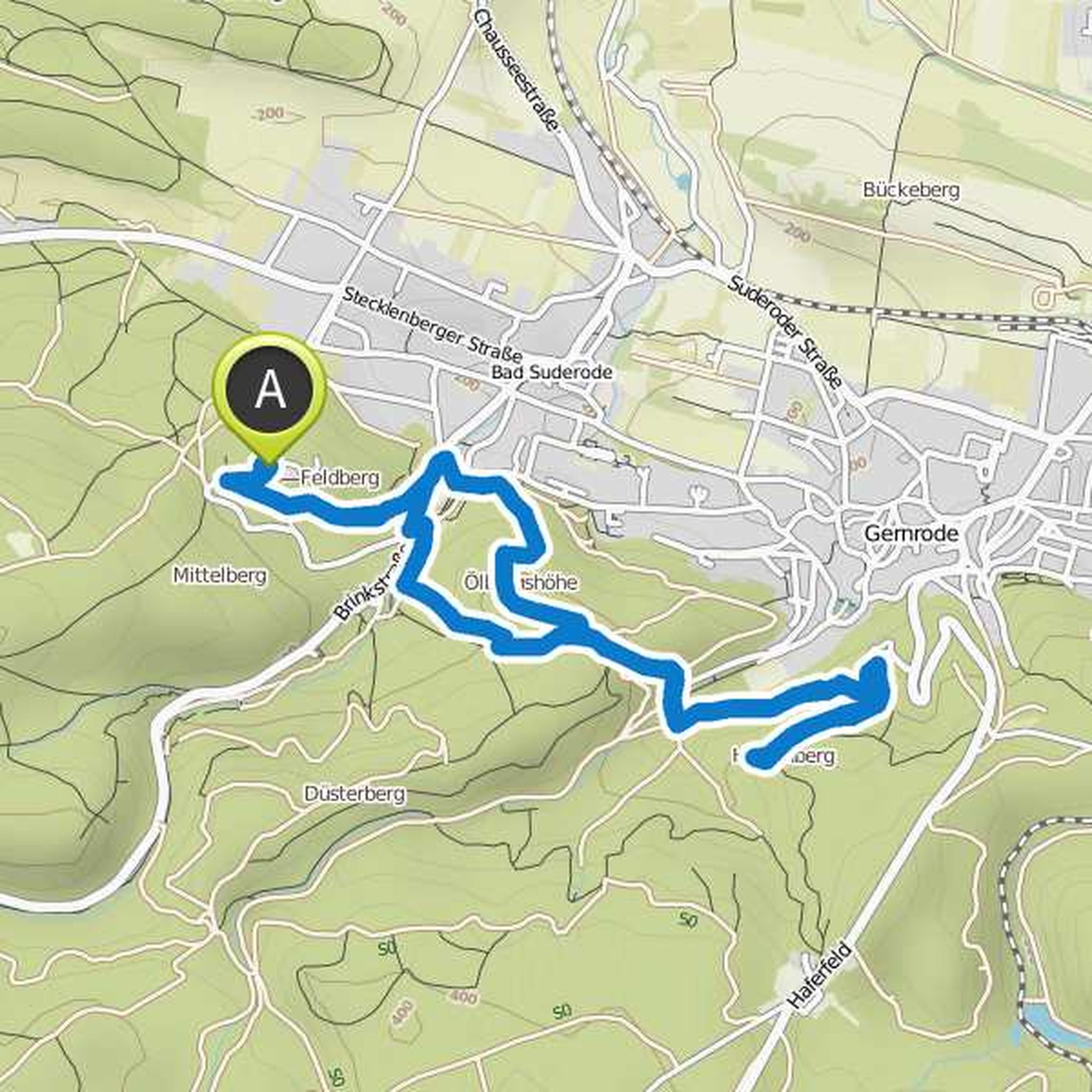
Map data © OpenStreetMap contributors
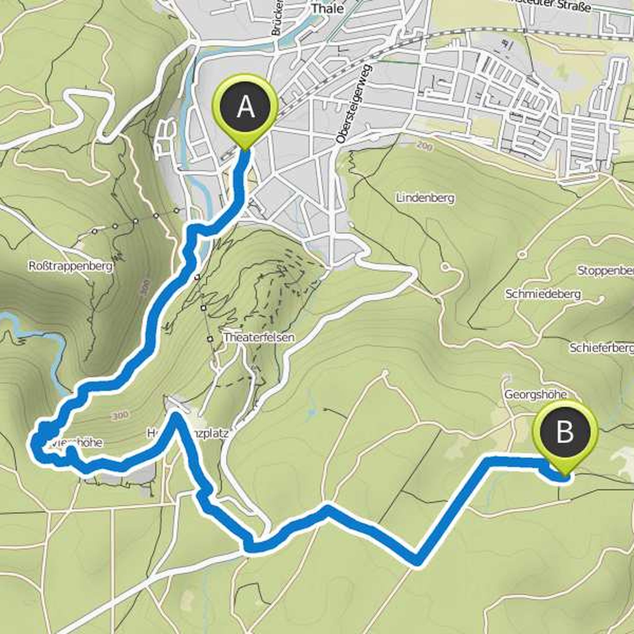
Ilka Nebe and Til-Niklas planned a hike
January 25, 2018
Time
6h23m
Distance
18.2km
Speed
2.8km/h
Ascent
940m
Descent
640m
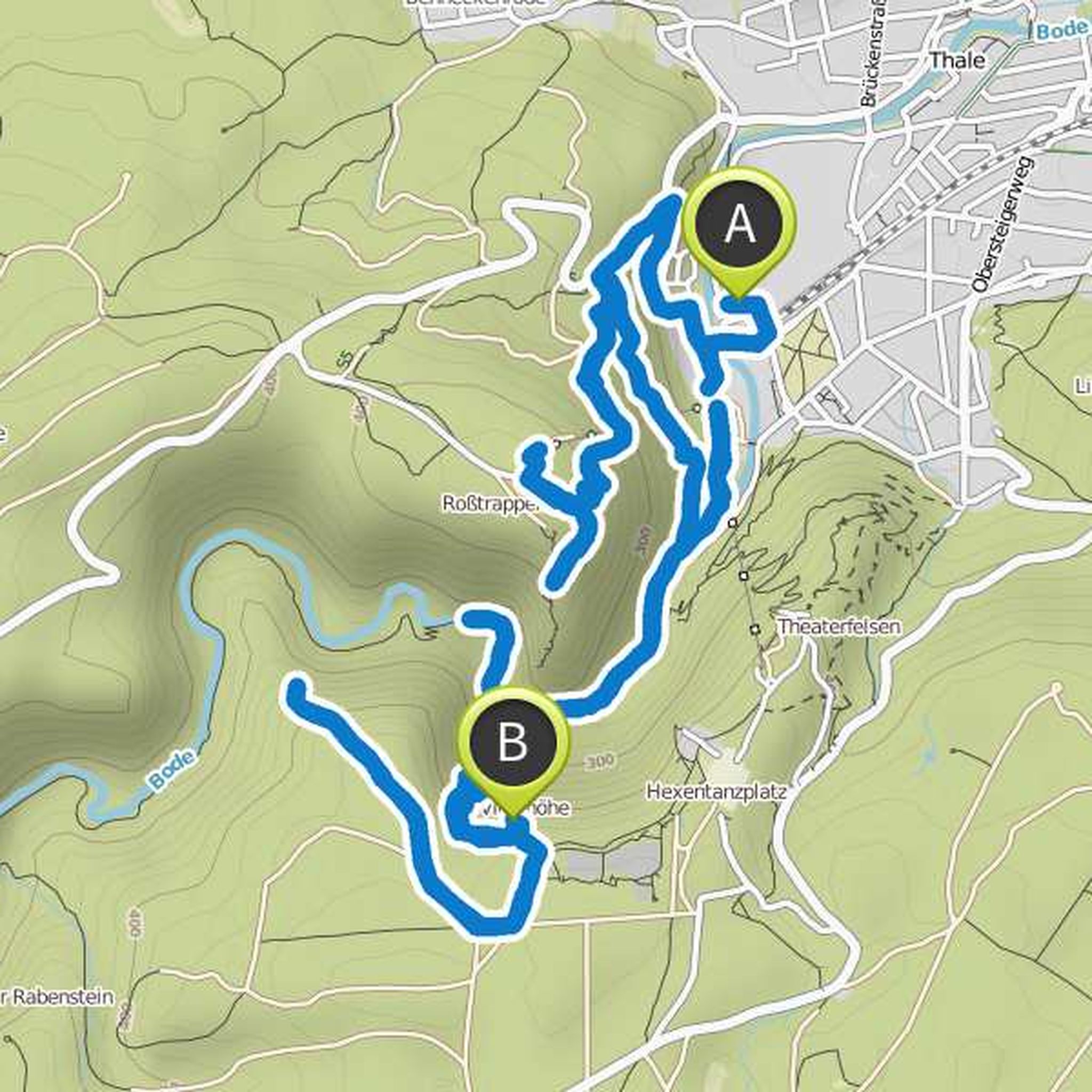
Map data © OpenStreetMap contributors
Ilka Nebe likes this.
Ilka Nebe planned a hike
January 22, 2018
Time
1h25m
Distance
5.58km
Speed
3.9km/h
Ascent
20m
Descent
20m
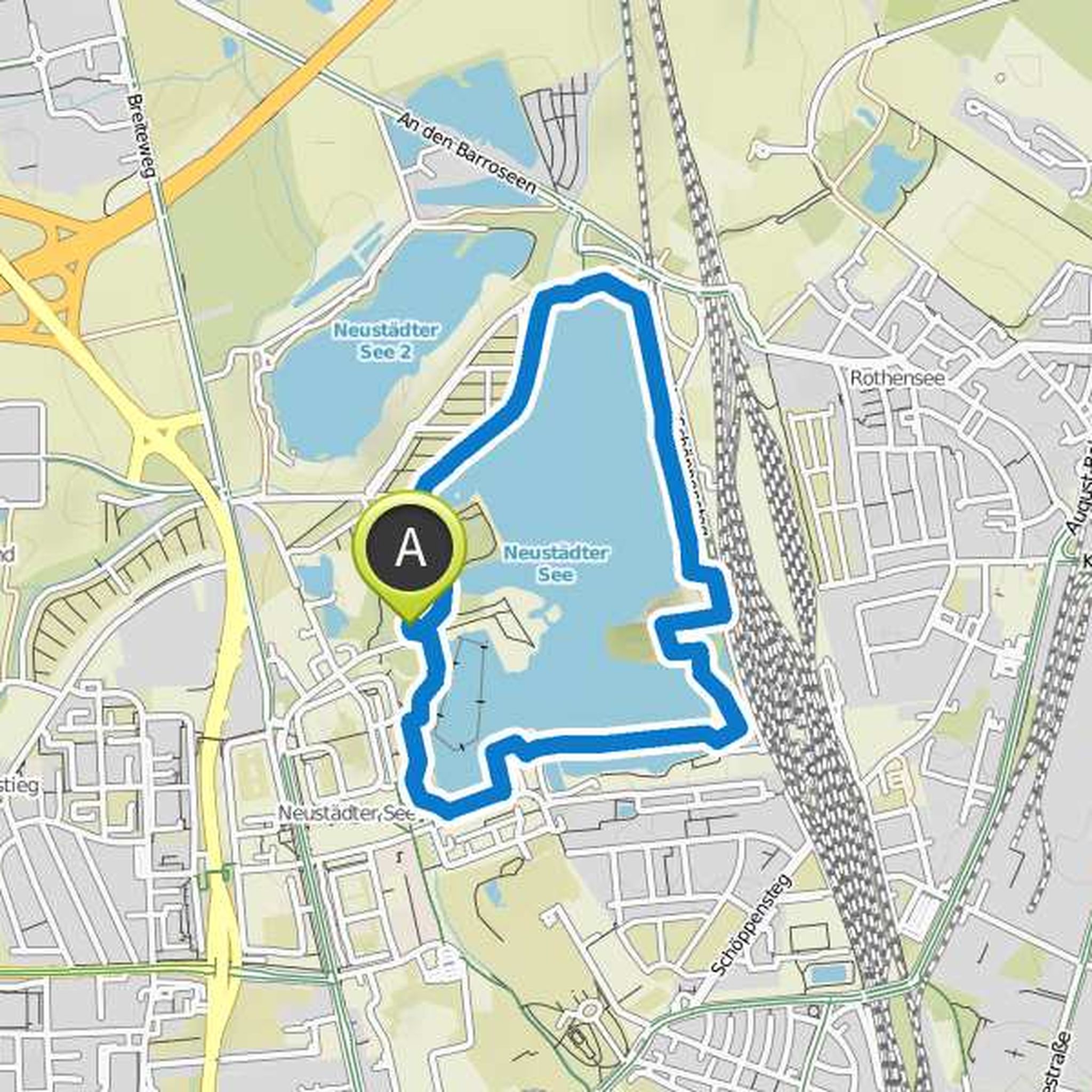
Map data © OpenStreetMap contributors
Ilka Nebe planned a hike
January 22, 2018
Time
4h15m
Distance
15.2km
Speed
3.6km/h
Ascent
300m
Descent
300m
Map data © OpenStreetMap contributors
Ilka Nebe planned a hike
January 21, 2018
Time
3h04m
Distance
10.9km
Speed
3.6km/h
Ascent
230m
Descent
230m
Map data © OpenStreetMap contributors
Ilka Nebe planned a hike
January 21, 2018
Time
2h23m
Distance
7.23km
Speed
3.0km/h
Ascent
320m
Descent
90m
Map data © OpenStreetMap contributors
January 21, 2018
Finally starting again in March;)
Translated by Google •
January 25, 2018
do not worry it's not difficult the map just thinks we can run up both mountains. Instead, we drive to Rosstrappe with the chairlift and the Hexentanzplatz with the cable car. That's how it should be. If Tayler can not do everything we can stop early and continue at some point!
Translated by Google •