Timeline
Martin planned a hike
July 25, 2017
Time
Distance
Speed
Ascent
Descent
Hagi31 and Bernhard Neumayer like this.
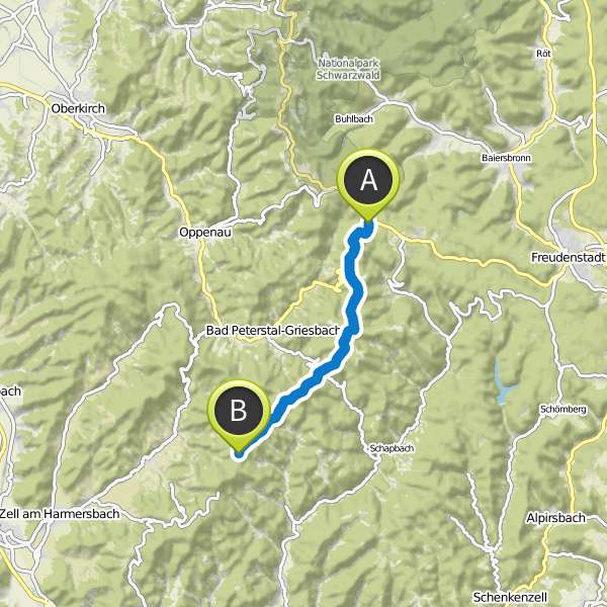
July 16, 2017
This stage takes you to the heart of the Black Forest. After ascending to the windswept Brandenkopf you have on the Brandenkopfturm in clear weather clear view of the majestic Alpine panorama.
On the way you expect lush meadows, old Black Forest farmhouses, breathtaking views and always forest, forest
Translated by Google •
Martin planned a hike
July 25, 2017
Time
Distance
Speed
Ascent
Descent
Hagi31 likes this.
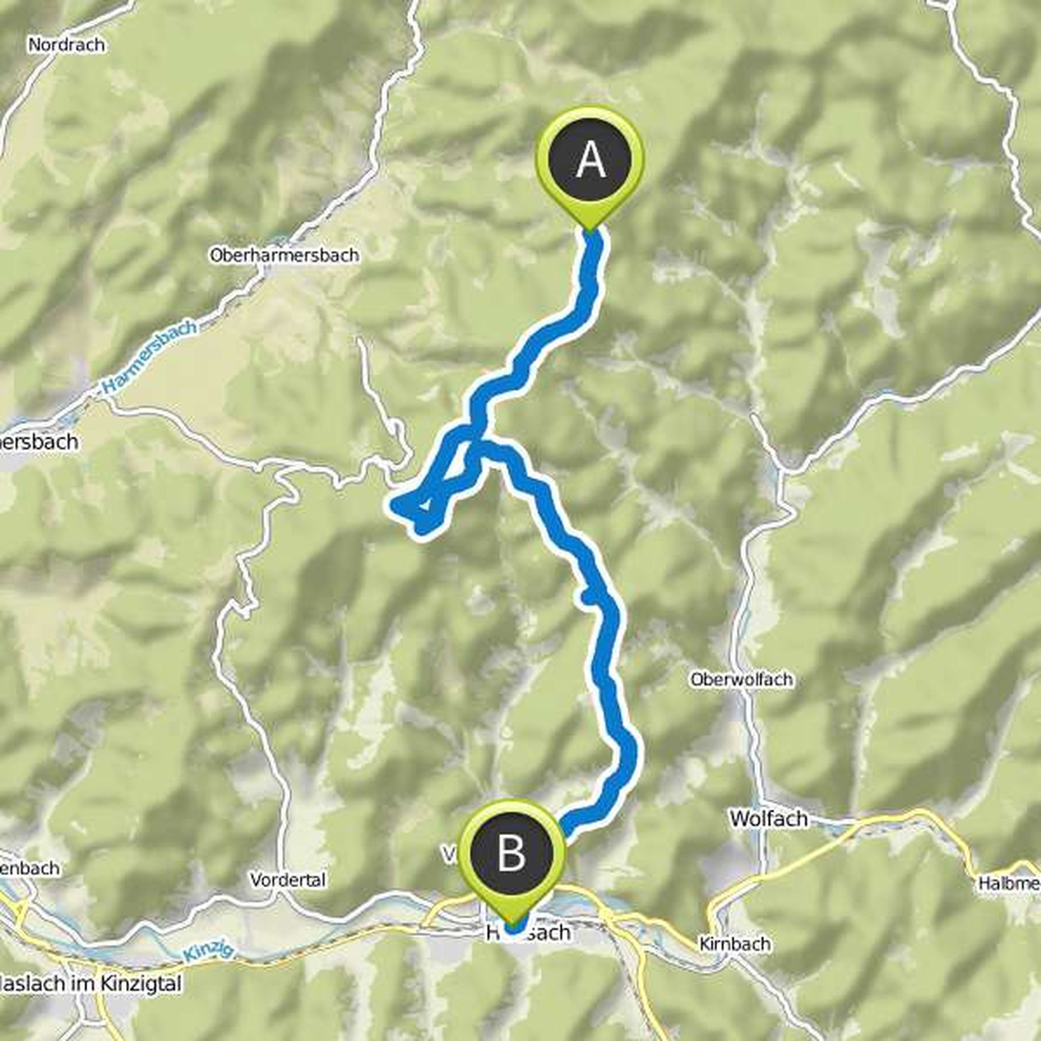
July 16, 2017
On this long and varied stage, you will conquer a total of over 1400 vertical meters - a tour for the most seasoned forest lovers. The first ascent to the Farrenkopf will make you sweat. But it's worth it, because the wonderful view over the wide valleys makes you want more.
Past bizarre rocks and dark
Translated by Google •
Martin planned a hike
July 25, 2017
Time
Distance
Speed
Ascent
Descent
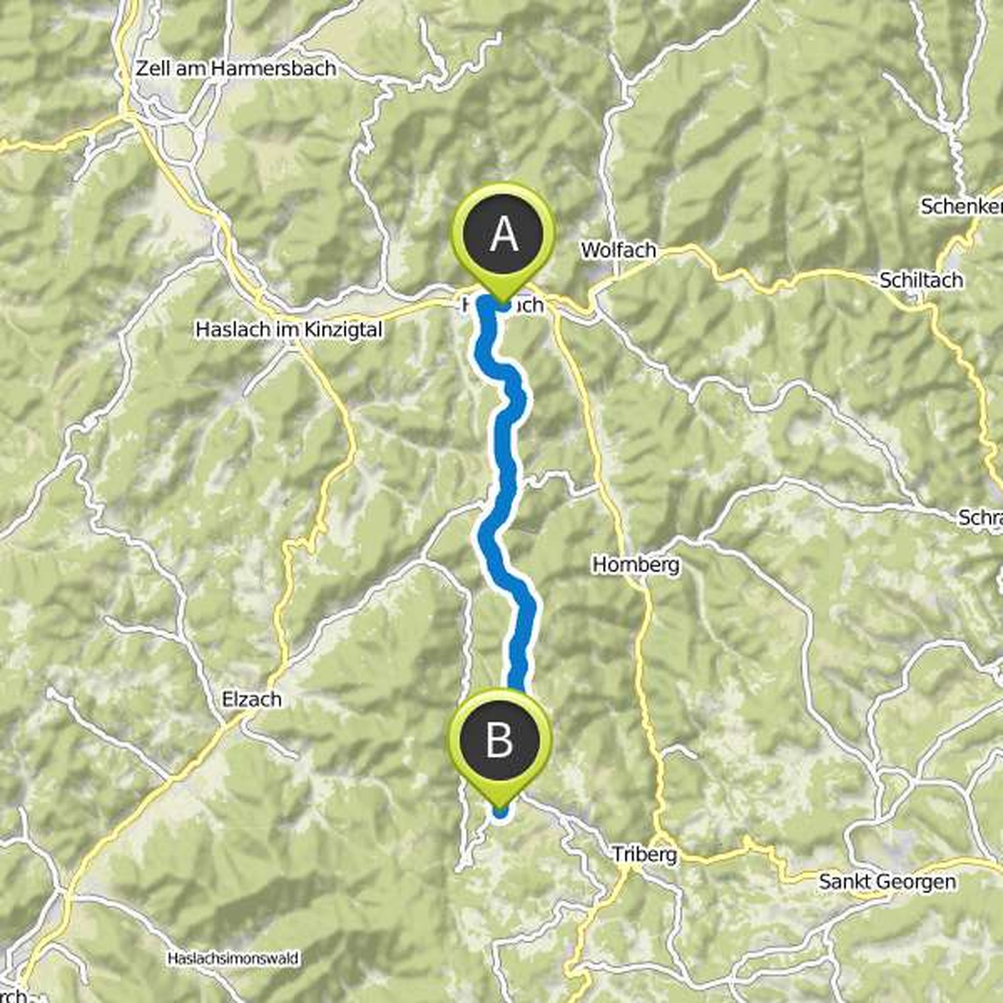
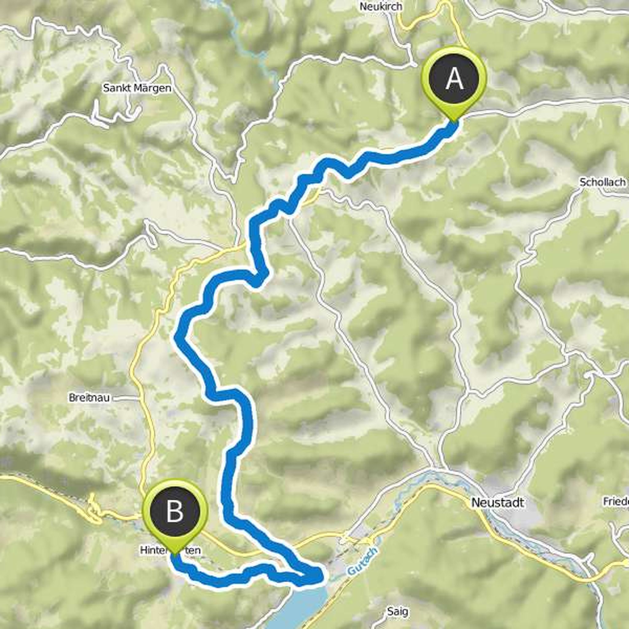
July 17, 2017
This stage takes you through one of the most beautiful and mythical landscapes of the Black Forest: in the direction of the legendary Blindensees, you pass through an old moor and you walk past mighty rock formations through one of the most beautiful forests in the Black Forest.
In the midst of the deep
Translated by Google •
Martin planned a hike
July 25, 2017
Time
Distance
Speed
Ascent
Descent
Hagi31 likes this.
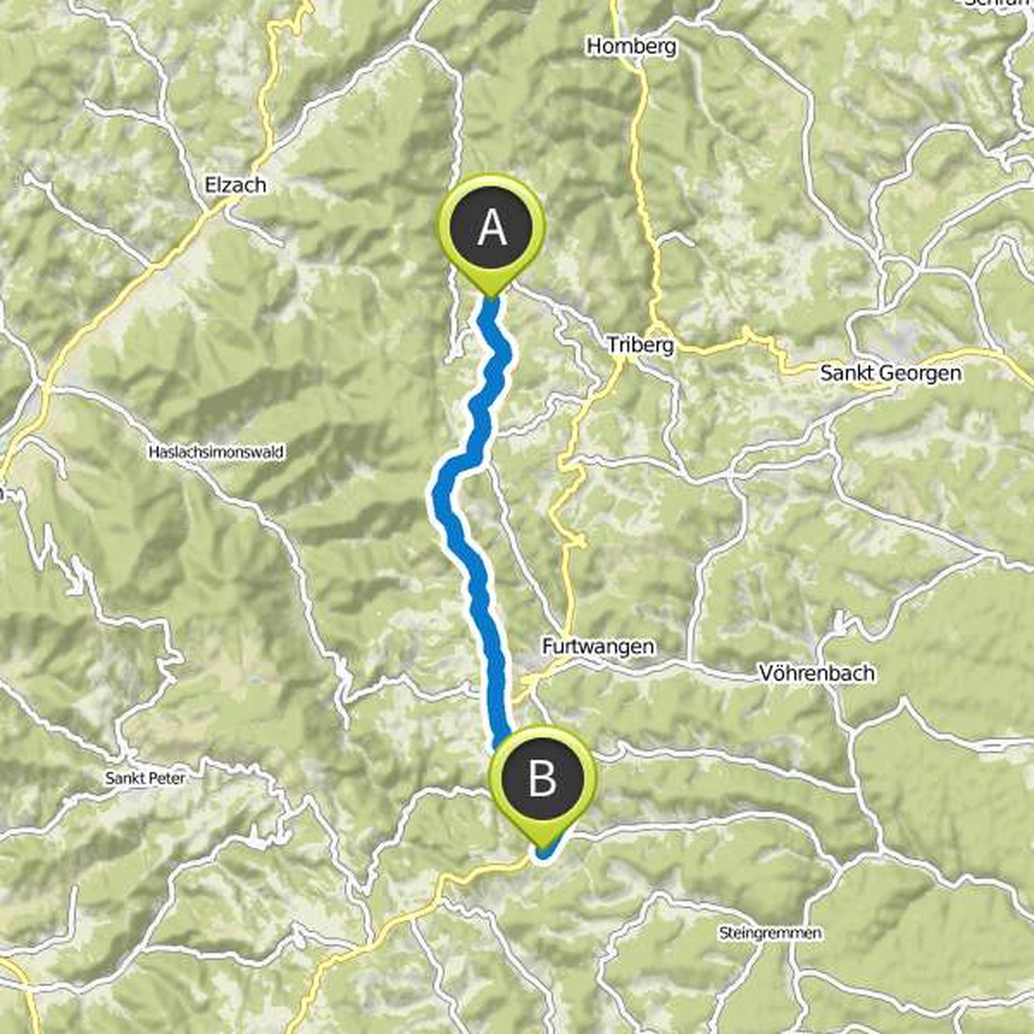
July 19, 2017
From the cold hostel, the path leads you through dense spruce forest up to Lachenhäusle. You walk varied between forest and meadows over fairytale root paths and soon reach the sublime white fir height. From here you can already see the impressive Feldberg massif.
Enjoy the fantastic forest world and
Translated by Google •
Martin planned a hike
July 25, 2017
Time
Distance
Speed
Ascent
Descent
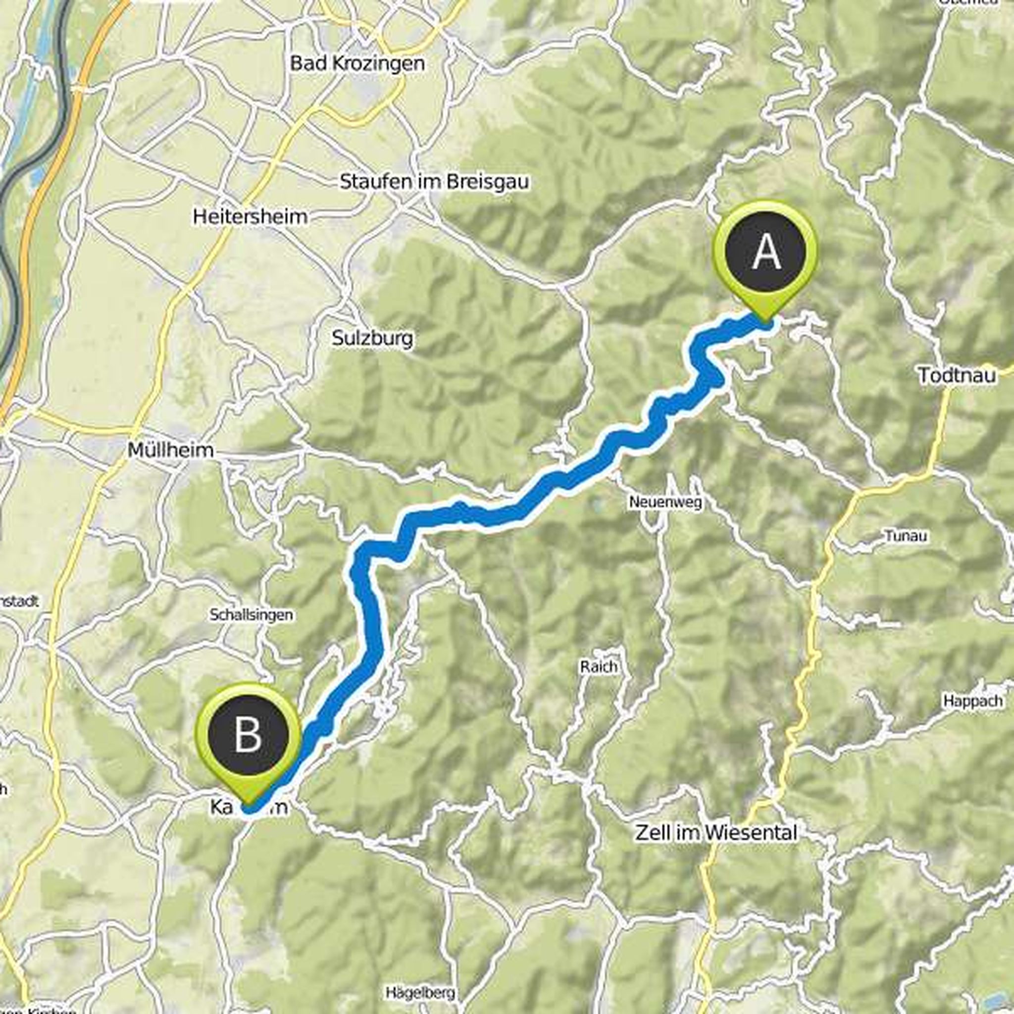
July 23, 2017
On this long tour you will become a mountain climber! With the Belchen and the Blauen you expect two of the highest Black Forest peaks. With the ascent to the Belchen you can prove your skills: the Belchen is considered the alpine summit in the Black Forest! It is not for nothing that it has always been
Translated by Google •
Martin planned a hike
July 25, 2017
Time
Distance
Speed
Ascent
Descent
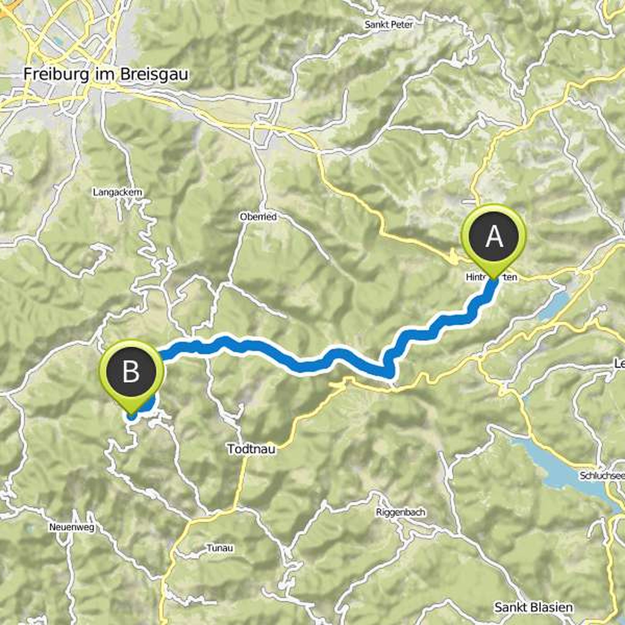
July 23, 2017
Today, no doubt, the king's stage of every Black Forest tour awaits you: the Feldberg crossing! Storm the highest peak of the German low mountain range!
Passing the idyllic nature paradise Feldsee, the route climbs steeply up to the windy top of the Feldberg. On the ascent, you'll start to sweat, on top
Translated by Google •
July 16, 2017
You start directly at the parking lot of Alexanderschanze. From there, the path leads you into the deep, dense forest. There you will find one of the most original and quiet bann forests of the middle Black Forest. Ancient and gnarled giant trees line your way over the lonely, wooded ridge and leave
Translated by Google •