Timeline
Sabine planned a bike ride
August 31, 2025
Time
Distance
Speed
Ascent
Descent
Sabine planned a bike ride
August 31, 2025
Time
Distance
Speed
Ascent
Descent
Sabine planned a hike
January 1, 2025
Time
Distance
Speed
Ascent
Descent
Elly Beinhorn and Sabine planned a hike
March 10, 2019
Time
Distance
Speed
Ascent
Descent
Elly Beinhorn and Sabine planned a hike
March 10, 2019
Time
Distance
Speed
Ascent
Descent

Elly Beinhorn and others planned a hike
March 10, 2019
Time
Distance
Speed
Ascent
Descent

Elly Beinhorn and others planned a hike
March 10, 2019
Time
Distance
Speed
Ascent
Descent

Elly Beinhorn and others planned a hike
March 10, 2019
Time
Distance
Speed
Ascent
Descent

Elly Beinhorn and Sabine planned a hike
March 10, 2019
Time
Distance
Speed
Ascent
Descent

March 19, 2019
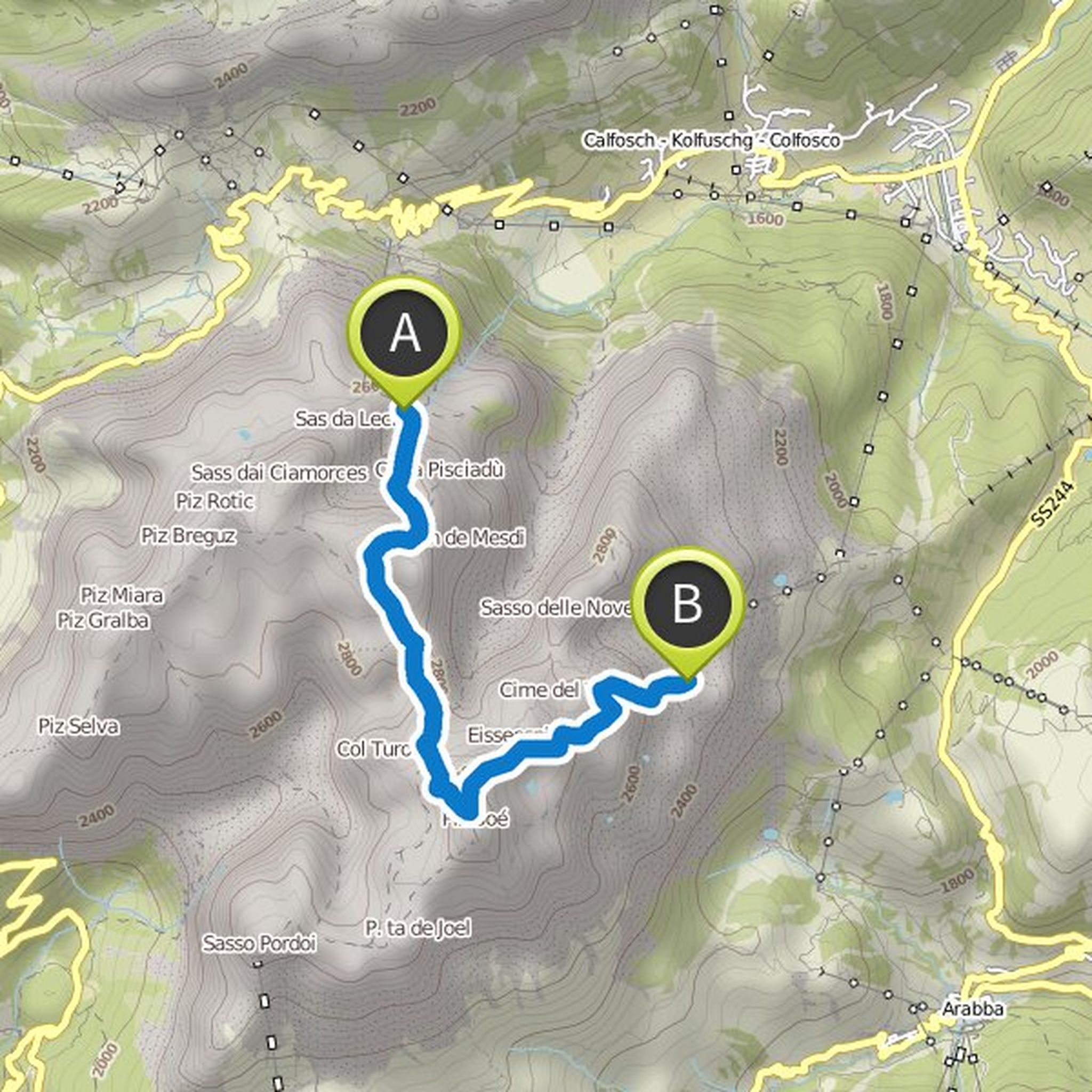
The indicated way over the Stevia hut only as an option for those who have not had enough. Direct way to the Juachütte without crest crossing possible (between point 2 and B ... see map)
Translated by Google •
Elly Beinhorn and others planned a hike
March 10, 2019
Time
Distance
Speed
Ascent
Descent

Elly Beinhorn and others planned a hike
March 10, 2019
Time
Distance
Speed
Ascent
Descent

Sabine planned a hike
September 9, 2018
Time
Distance
Speed
Ascent
Descent

Sabine planned a hike
September 9, 2018
Time
Distance
Speed
Ascent
Descent

Sabine planned a hike
September 9, 2018
Time
Distance
Speed
Ascent
Descent

Sabine planned a hike
September 9, 2018
Time
Distance
Speed
Ascent
Descent

March 19, 2019
There are no 1,600 vertical meters downhill. We take the cable car into the valley.
Translated by Google •