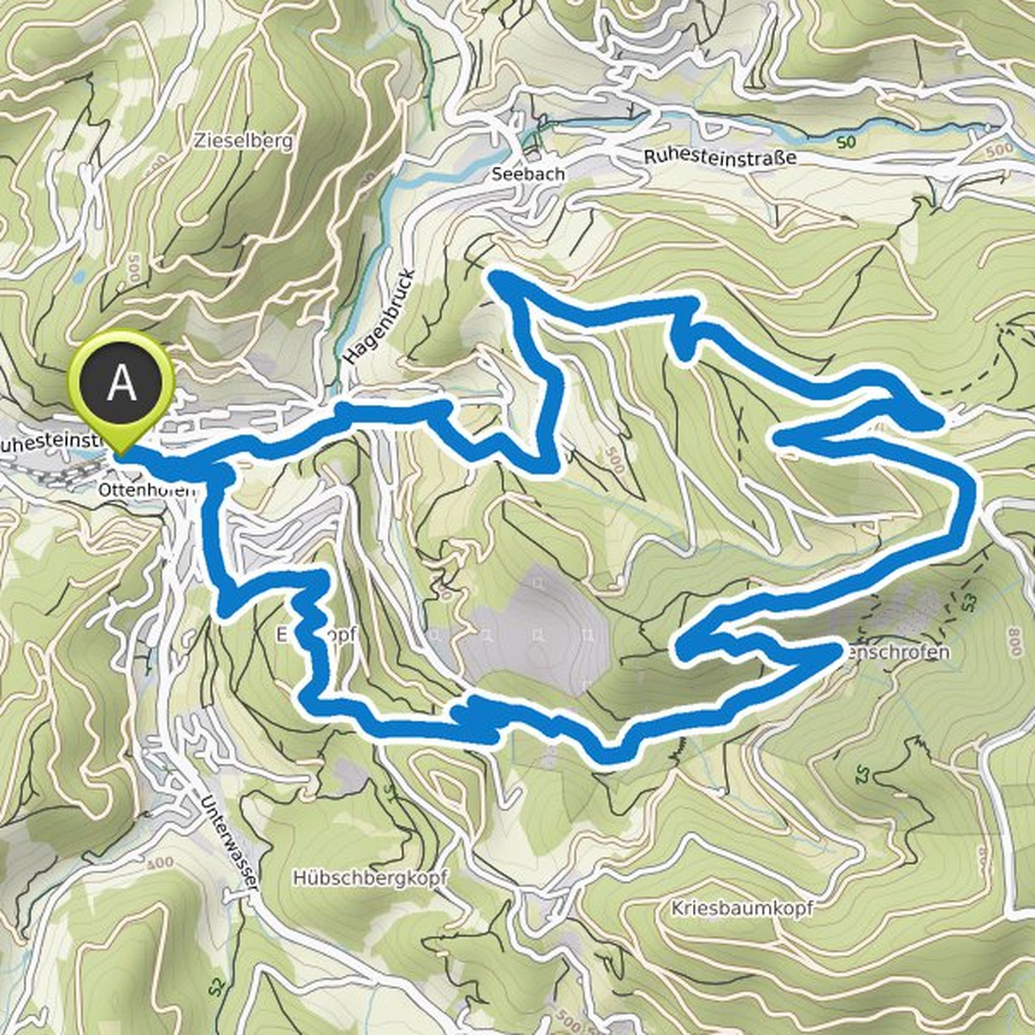
Recent Activity
JPT 1887 and others went for a hike
July 13, 2025
Time
Distance
Speed
Ascent
Descent
Jacqueline, Klemens Gelb and Kim Wernecke like this.
JPT 1887 and others went for a hike
July 12, 2025
Time
Distance
Speed
Ascent
Kim Wernecke and Jacqueline like this.
JPT 1887 and others planned a hike
November 26, 2023
Time
Distance
Speed
Ascent
Descent
Timo planned a hike
August 31, 2022
Time
Distance
Speed
Ascent
Descent
Timo planned a hike
May 5, 2022
Time
Distance
Speed
Ascent
Descent
Timo and Masood Khajehei planned a hike
January 2, 2022
Time
Distance
Speed
Ascent
Descent
Chrissi 🥾🚴🏼 likes this.
JPT 1887 and others went for a hike
July 30, 2021
Time
Distance
Speed
Ascent
Descent
Kim Wernecke and others went mountaineering
July 30, 2021
Time
Distance
Speed
Ascent
Descent
Masood Khajehei, Ria van den Heuvel and Chrissi 🥾🚴🏼 like this.
JPT 1887 and others went for a hike
July 29, 2021
Time
Distance
Speed
Ascent
Descent
Kim Wernecke and others went mountaineering
July 29, 2021
Time
Distance
Speed
Ascent
Descent
Ria van den Heuvel and Chrissi 🥾🚴🏼 like this.