20의 앙구스트린-빌뇌브-데-에스칼드가지 명소 & 주요 장소
앙구스트린-빌뇌브-데-에스칼드에는 둘러볼 만한 장소가 많답니다. 하이킹 또는 사이클링을 좋아한다면 앙구스트린-빌뇌브-데-에스칼드에 숨겨진 20
가지 보석을 만날 수 있을 거예요. 이 지역의 주요 명소를 살펴보면서 다음 모험을 계획해보세요.
마지막 업데이트: 9월 26, 2026


이런 장소를 발견하려면 지금 가입하세요
최고의 싱글 트랙, 봉우리 및 다양한 흥미로운 야외 장소에 대한 추천을 받아보세요.

퐁로므 칼바레 고개
하이라이트 • 산악 고개
번역자 Google •
팁에 의해

콜 드 라 페르슈 (1,579 m)
하이라이트 • 산악 고개
More information: quaeldich.de/paesse/col-de-la-perche
번역자 Google •
팁에 의해

무료로 가입하여 앙구스트린-빌뇌브-데-에스칼드 주변의 더 많은 명소를 발견하세요.
이미 komoot 계정이 있나요?
오늘 무료 계정으로 시작하세요
다음 모험이 기다리고 있어요.




커뮤니티 팁

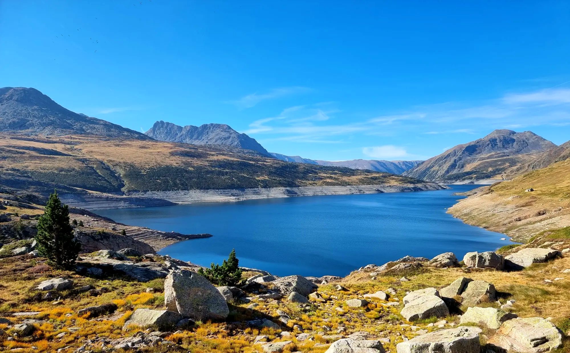
Half of those present aren't following the rules! At the start of the climb, a sign clearly states that swimwear should be worn out of consideration (especially for children). Instead, a Frenchman presents himself completely naked. Some French women enjoy exposing their breasts. Everyone present is smugly sprawling, lying head-to-toe in the water without a single gesture of consideration for newly arrived visitors. A little further upstream from the spring, we encounter the third disappointment: Down in the village, several signs indicate a camping ban. A few meters above the spring, we found a camping tent in the forest (keyword: wild camping) and a prepared campfire site (as if there weren't enough forest fires in France by 2025). The behavior of some of the people is unacceptable.
2
4


Well, starting from Font Romeu and breaking legs from Mont Louis
0
0

The Col de la Calvaire de Font Romeu is a mountain pass in French Cerdanya, next to the town and ski resort of Font Romeu. This port connects the Bolquère valley with the Cerdanya valley. The port is within the same town of Font Romeu, next to the station's ski lifts. There are many slopes to reach Col de la Calvaire: - the western slope that starts from Ur is approximately 16 km and crosses the town of Targasone and the Col d'Egat. It is a very steep climb along a road in perfect condition, although on holidays there is a lot of traffic. - The southern slope starts from Llívia and crosses Estavar and joins the previous one at the Col d'Egat. Unlike the first, the first section of the climb is very hard, with several horseshoe curves and with wonderful views of the entire Cerdanya and the Tosa d'Alp. - The eastern slope stops at Olette, and after approximately 28 km it reaches the top of the pass, passing through the town of Mont-Louis and Bolquère. It is a very steep climb, like the first, on a road in perfect condition but with a lot of traffic. I don't like going up here. - the eastern slope that starts from Olette and passes through the Col de la Perche, reaching the town of Font-Romeu and from there to the top. Of all the slopes, the one I like the most is the slope that starts from Llívia and crosses Estavar.
0
0

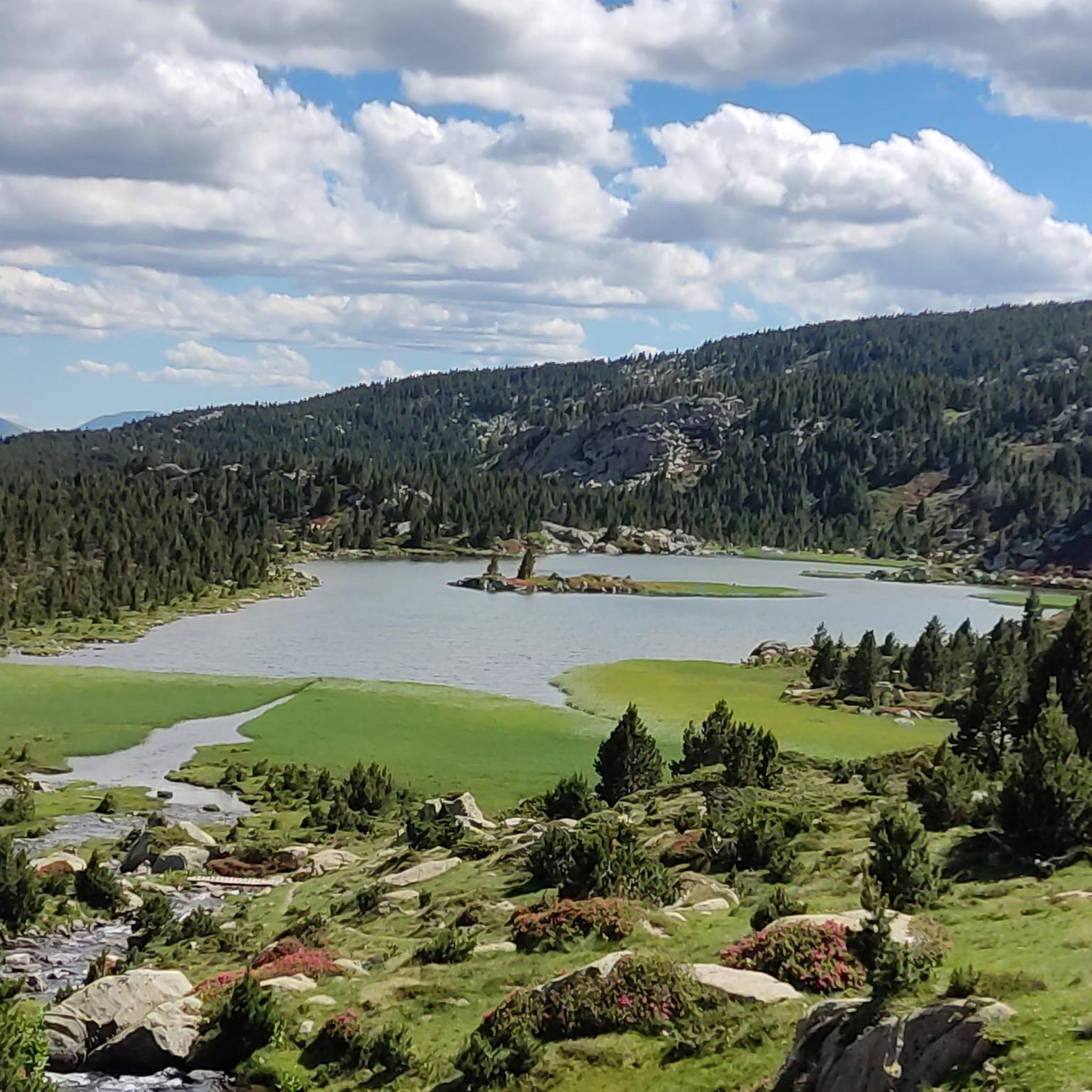
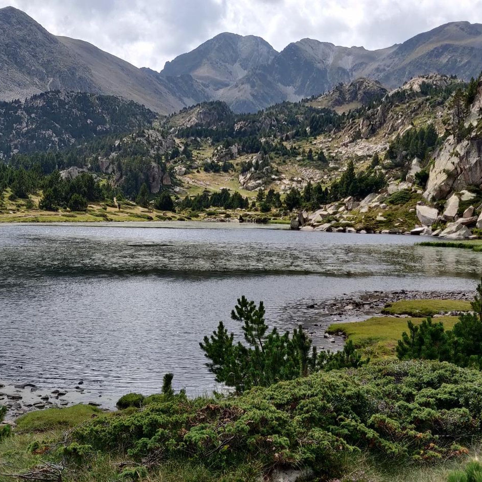
Carlit Peak is part of the Capcir granite massif, which is dotted with 27 lakes and small lakes in the Occitanie region, northwest of Font-Romeu. Its summit is located at 2921 meters, allowing you to observe an immense panorama (from Canigó to the Central Pyrenees).
1
2

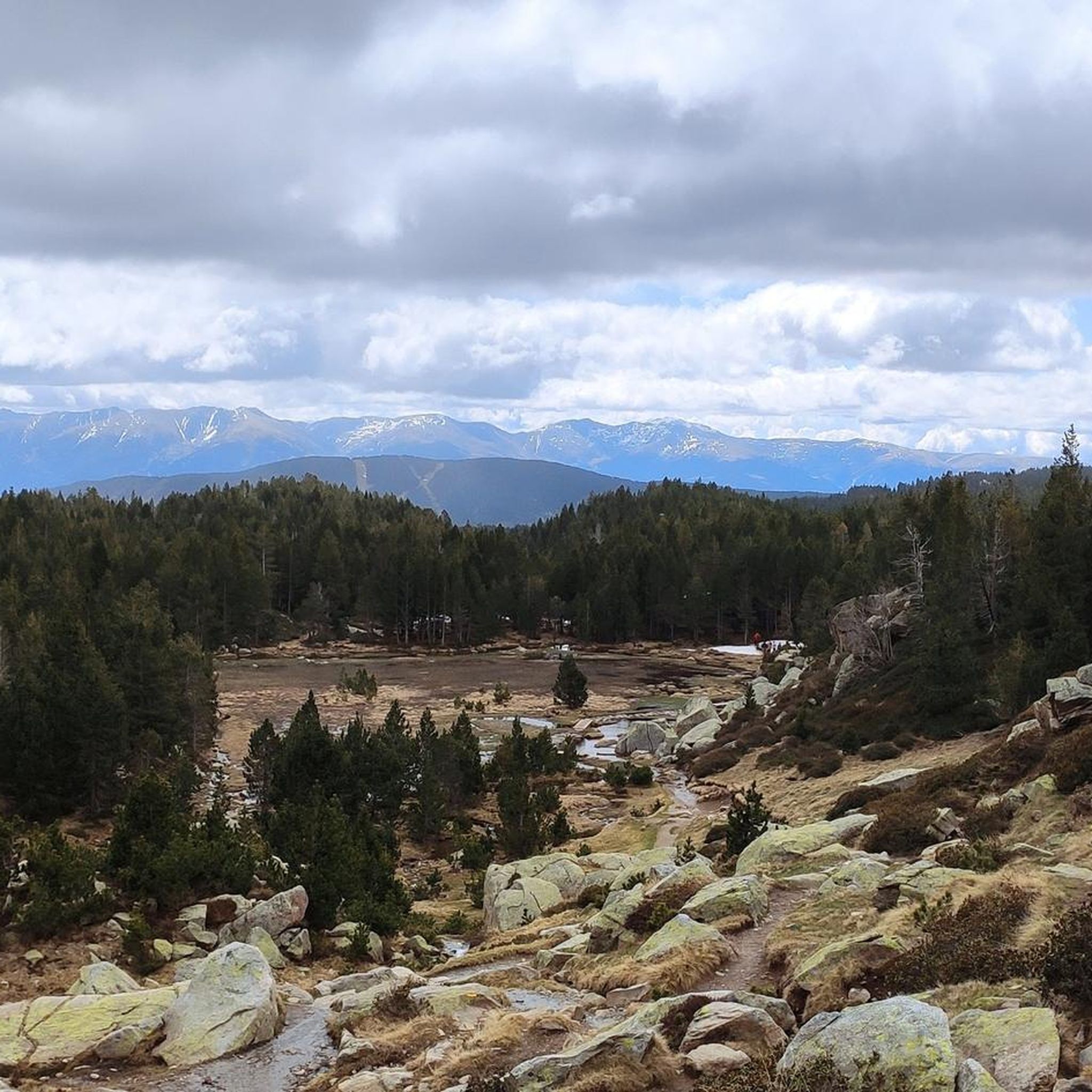
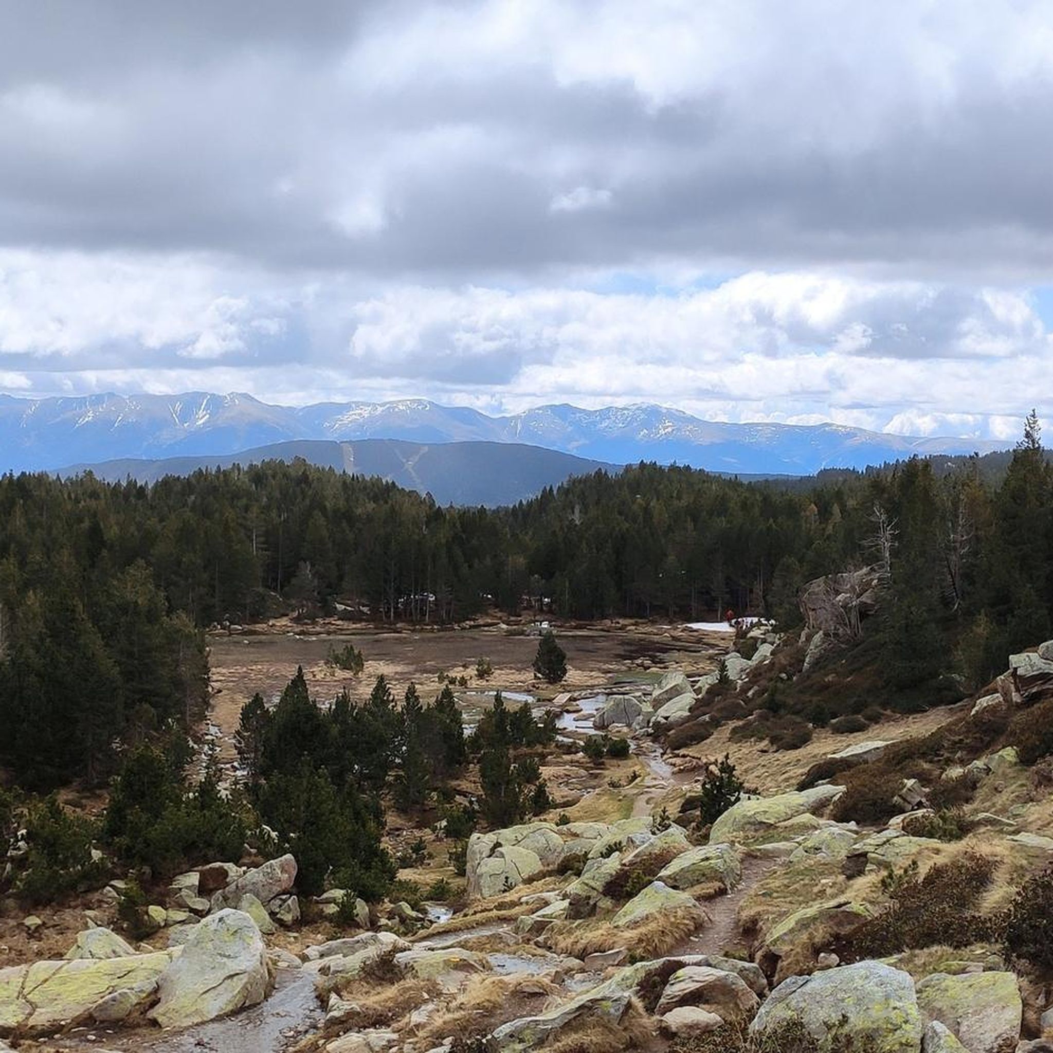
Culminating at 1,579 meters above sea level, the Col de la Perche can be climbed by four routes in total. Each of them includes relatively gentle slopes. At the top, the view of the surrounding area is splendid and rewards your efforts!
0
0

It's probably not the most spectacular pass in the Pyrenees, but it has its charms. Its position, in the middle of the Catalan Pyrenees natural park, makes it a privileged passage for admiring 360° of the mountains, valleys and plains of this protected area. If you pass by, take the time to look around for yourself and enjoy the view.
0
0
It is a mountain pass that connects Conflent with Cerdanya. It can be reached in a multitude of variants. For me there are 4 clear aspects: - Eastern slope - from Olette along the main road N116 - West slope - from Sallagosa on the main road N116 - West slope - from Sallagosa along the secondary road that crosses the Col de Llo and the town of Eyne - West slope - from Llivia crossing Estavar and the Col d'Egat. With some nuances, in general the 4 slopes are soft and long. The views from the port on both sides are beautiful, especially towards the Eyne ski resort. It must be taken into account that the two slopes that run along the N116 highway have a lot of traffic, with motorcycles and trucks.
1
0
앙구스트린-빌뇌브-데-에스칼드 주변에서 가장 인기 있는 명소


더 살펴보기
찾고 있는 하이라이트를 아직 못 찾으셨나요? 다른 지역의 주요 명소 가이드를 확인해보세요:
