20의 만테가지 명소 & 주요 장소
만테에는 둘러볼 만한 장소가 많답니다. 하이킹 또는 사이클링을 좋아한다면 만테에 숨겨진 20
가지 보석을 만날 수 있을 거예요. 이 지역의 주요 명소를 살펴보면서 다음 모험을 계획해보세요.
마지막 업데이트: 8월 30, 2026
코르니슈 드 카랑사
하이라이트 • 협곡
번역자 Google •
팁에 의해

카라냥 협곡의 현수교
하이라이트 • 협곡
번역자 Google •
팁에 의해

이런 장소를 발견하려면 지금 가입하세요
최고의 싱글 트랙, 봉우리 및 다양한 흥미로운 야외 장소에 대한 추천을 받아보세요.
무료 회원 가입
라 카란사 협곡 위의 현수교
하이라이트 • 다리
번역자 Google •
팁에 의해


오늘 무료 계정으로 시작하세요
다음 모험이 기다리고 있어요.
로그인 또는 가입하기


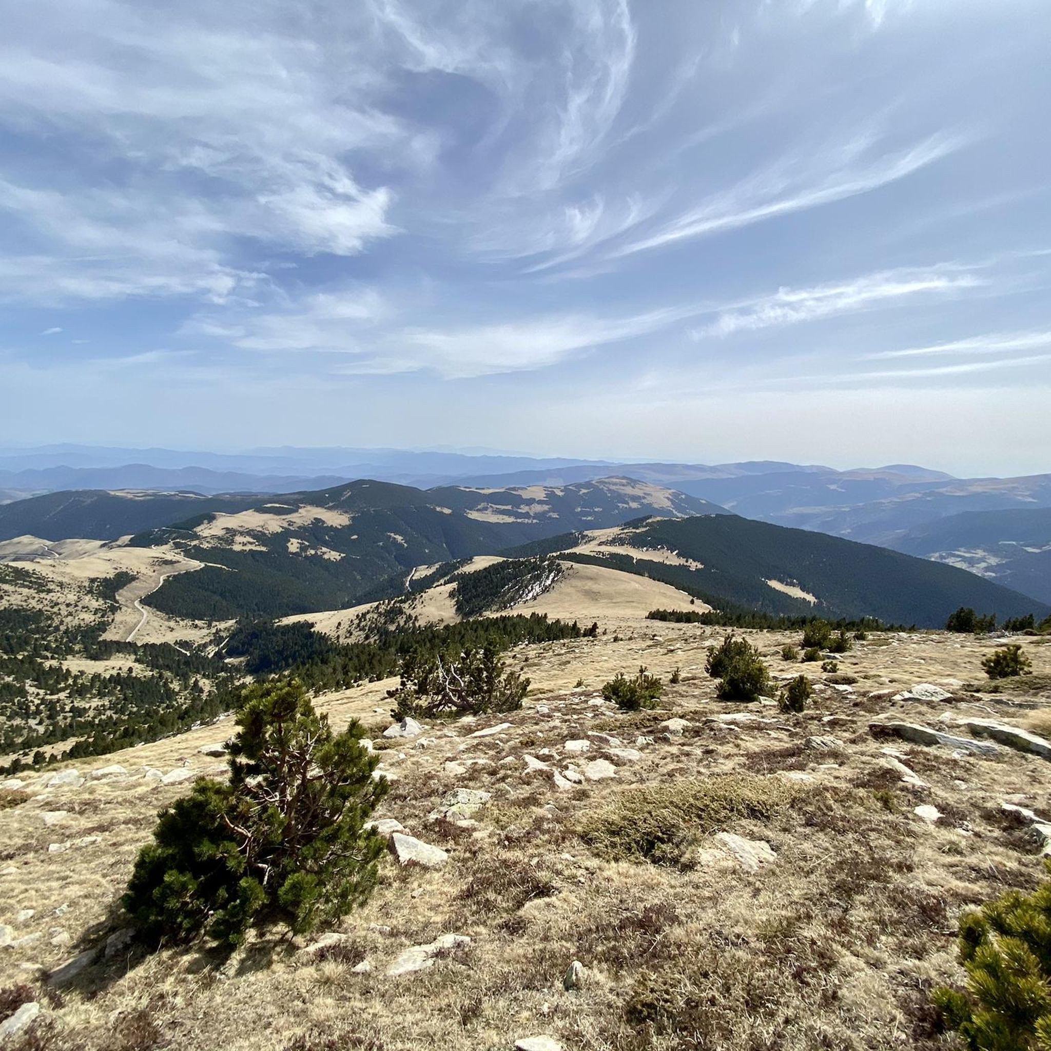
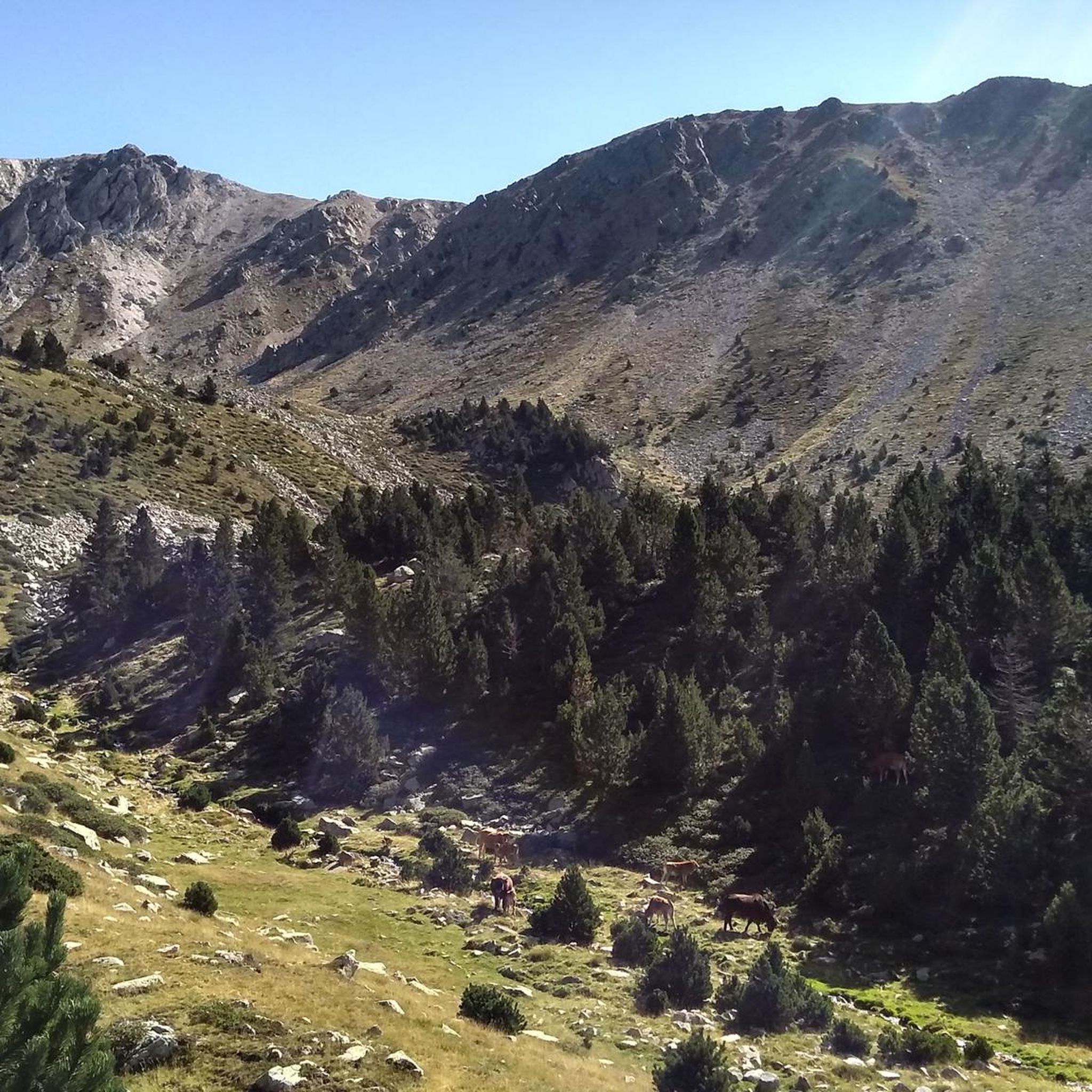
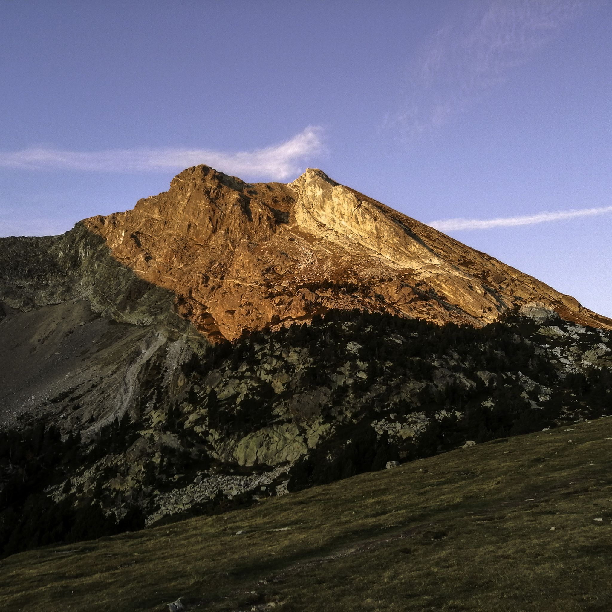
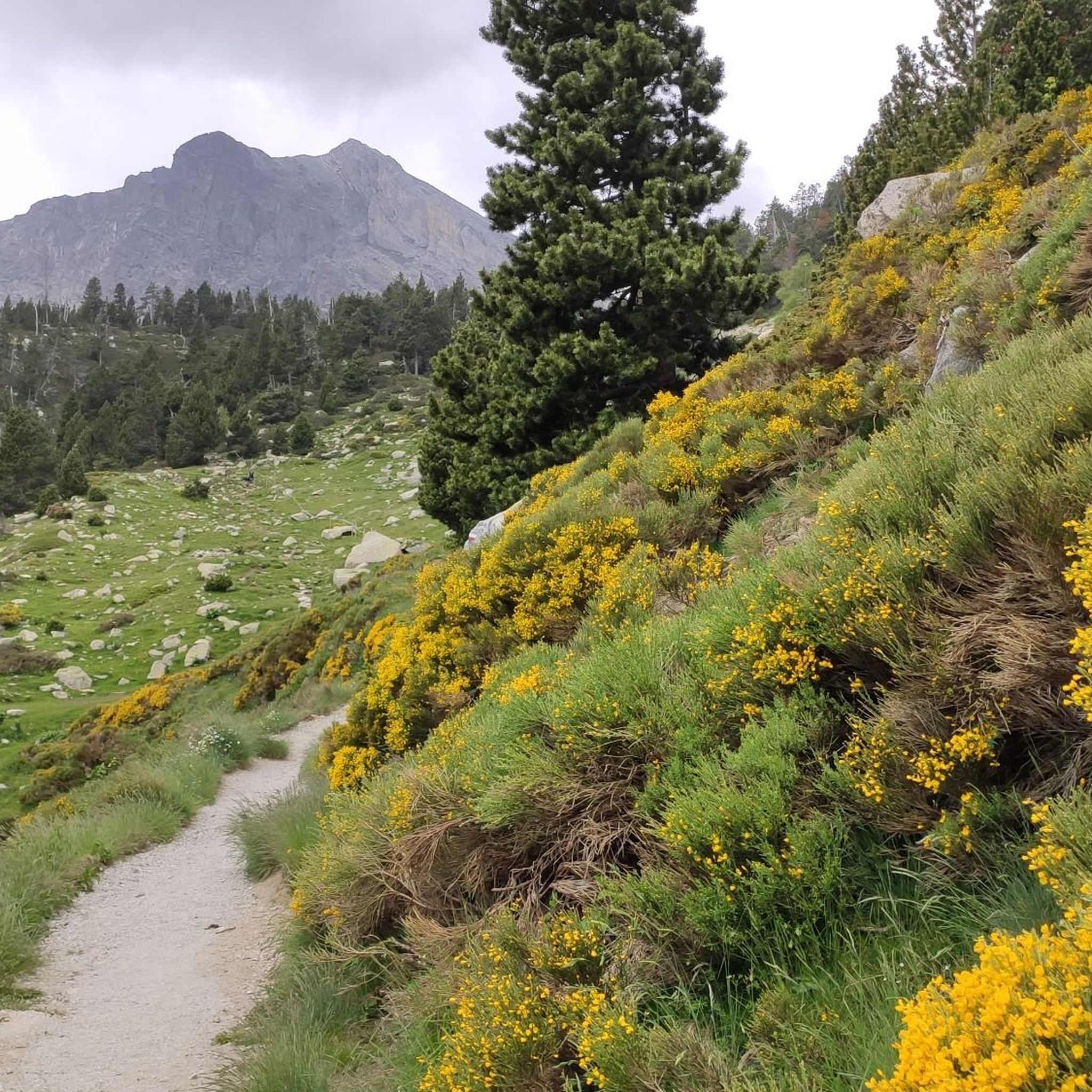



커뮤니티 팁

2026년 4월에 이곳에 왔습니다. 현수교와 널빤지 길은 상태가 매우 좋지 않습니다. 한 다리는 부서진 바닥 판이 2개의 판자와 스트랩으로 임시로 수리되어 있었습니다. 다른 다리에서는 나사가 녹슬어 바닥 판 중 하나가 헐거워졌습니다. 본질적으로 정말 아름다운 투어였지만, 유지 보수가 부족하여 추가된 이 모험은 피하고 싶었습니다.
0
0

Take your time and respect the two-person-at-a-time rule.
0
0

The Col de Jou from Villefranche de Conflent is a climb in the French Pyrenees. This climb is 11.4 kilometers long and has a positive elevation gain of 687 meters. The Col de Jou from Villefranche de Conflent has an average gradient of 6%.
15
0

A very wobbly suspension bridge, but it is secured with a net. The only one on the classic circular route, in the section further up there are several more in combination with footbridges.
1
0

The Col de Jou peaks at an altitude of 1,125 meters. It is a well-known rallying point for local hikers. Indeed, the GR 10 passes through there, and it is the starting point for many hikes including the one that connects Canigou peak.
1
0
Breathtaking gorge, great parking 5 euros, just follow komoot for the most beautiful route, fear of heights? Do not look into the depths, but especially where you put your feet. If you are Dutch tall, then also pay attention to the rocky points at head height. What a great trip😀
22
0

When the path joins the river and next to a small dam, we connect with the path that comes from the ledge. Here begins the most exciting part of the excursion! Ahead of us are ten bridges, numbered in yellow paint, as well as walkways built with metal panels from which we see the river slide between the rocks beneath our feet. All steps are aerial but well secured with cables and railings. Of course: we have to pay special attention if we go with children. This area, in addition to being a real adventure, is ideal for contemplating the small waterfalls from the front row and listening to the murmurs of the river. Here you can enjoy the grandeur of an overflowing nature… After the bridge marked with a 10, the path widens and we pass over a small stone bridge that crosses the Roig stream, a tributary of the Tet river. We pass a stone hut without a roof and arrive at the last footbridge, located at a point where the river is enclosed by a rock wall. At this point, most walkers turn around and those who continue do so thinking of reaching the refuge of the Ras de Carançà, still far away. The last time I did this stretch (see excursion: https://www.komoot.com/es-es/tour/994475321/ ) it was just the other way around, coming from the refuge of Ras de Carançà.
1
0
만테 주변에서 가장 인기 있는 명소


더 살펴보기
찾고 있는 하이라이트를 아직 못 찾으셨나요? 다른 지역의 주요 명소 가이드를 확인해보세요:
